Alaska Highway
Canada
In short: Alaska Highway is a 2,400 km adventure road trip in Canada, typically driven over 8–10 days, best in May–Sep. Highlights: Dawson Creek, Fort Nelson, Muncho Lake.
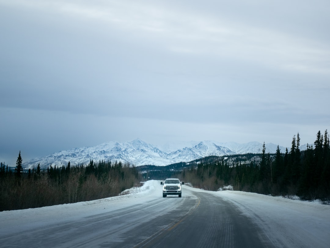
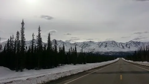
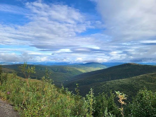
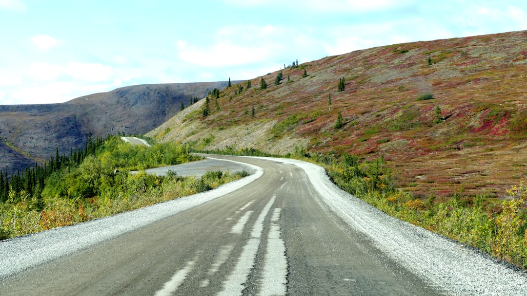
The ALCAN, built in eight months in 1942 to connect Alaska to the Lower 48, is the last great North American frontier road. 2400km of boreal wilderness, glacial rivers, the Yukon's vast silence, and more wildlife per kilometre than almost anywhere on Earth.
Make this route yours
Set your dates, pace, and taste, and RoadAtlas AI rebuilds this trip day by day with real, verified places.
Included with Traveler and Explorer plans.
Plan this trip
Third-party planning links may be affiliate links. RoadAtlas stays independent, and you should verify details with the provider.
Day-by-day itinerary
Day 1Dawson Creek / start of the Alaska Highway
Alaska Highway House · Mile 0 Post · The Bungalow Restaurant
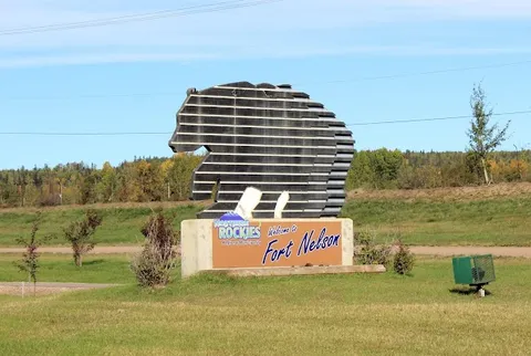
Day 2Fort Nelson to Muncho Lake and Liard River
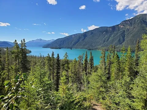
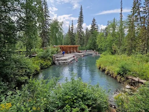
Liard River Hot Springs · Muncho Lake Provincial Park viewpoints · Dan's Neighbourhood Pub
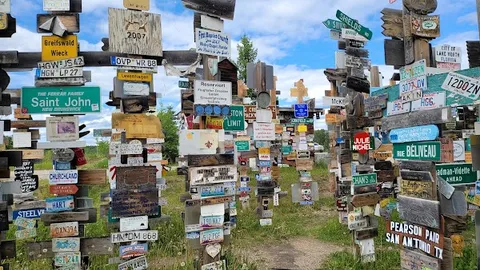
Day 3Muncho Lake and Liard River to Watson Lake
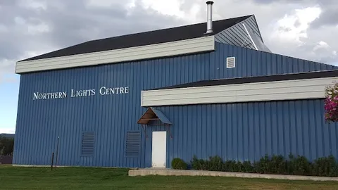
Muncho Lake Provincial Park · Northern Lights Centre · Muncho Lake Lodge Restaurant
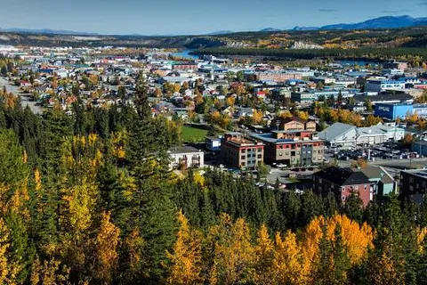
Day 4Watson Lake to Whitehorse
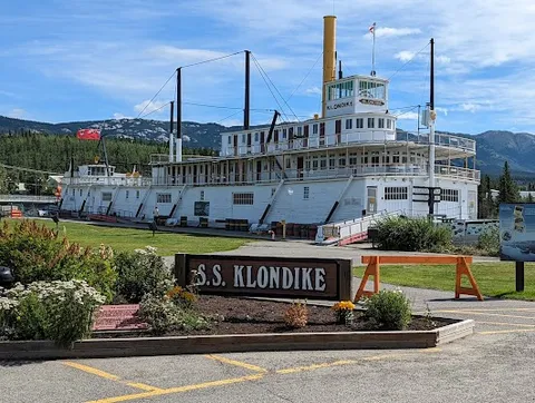
S.S. Klondike National Historic Site · S.S. Klondike II Interpretive Walk · Klondike Rib & Salmon
Day 5Kluane National Park / Haines Junction area
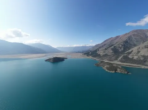
Kluane Lake · Da Ku Cultural Centre · Haines Junction provisions
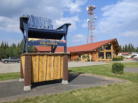
Day 6Kluane Lake to Tok, Alaska
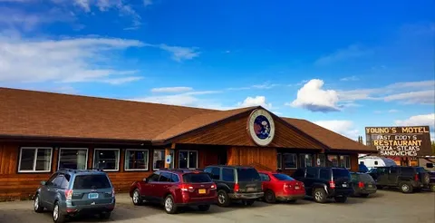
Tetlin National Wildlife Refuge visitor contact area · Mukluk Land · Fast Eddy's Restaurant
Day 7Tok to Delta Junction
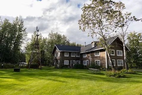
Big Delta State Historical Park · Rika's Roadhouse at Big Delta · Packed highway meal
Day 8Delta Junction to Fairbanks
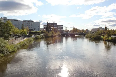
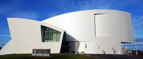
Delta Junction End of Alaska Highway Monument · University of Alaska Museum of the North · The Pump House Restaurant
Stops along the route

Things to Do
Show 4 more
Where to Eat


Nearby and similar drives
Frequently asked questions
How long is the Alaska Highway drive?
The Alaska Highway covers 2,400 km from start to finish.
How long does the Alaska Highway take to drive?
Most travellers spend 8–10 days on the Alaska Highway, depending on stops and pace.
When is the best time to drive the Alaska Highway?
The recommended season for the Alaska Highway is May–Sep.
Where does the Alaska Highway start and end?
The Alaska Highway runs from Dawson Creek to Fairbanks.
What are the main stops on the Alaska Highway?
The Alaska Highway passes through Dawson Creek, Fort Nelson, Muncho Lake.
How difficult is the Alaska Highway to drive?
The Alaska Highway is rated moderate and is best handled with any vehicle.
Can I drive the Alaska Highway in a regular car?
Yes — the Alaska Highway is paved end-to-end and a regular car is fine in normal conditions.
Do I need a permit or border paperwork for the Alaska Highway?
Yes — the Alaska Highway requires permits, fees, or border paperwork. Plan ahead: Carry passports for the Canada–US crossing and expect frost heaves, roadworks, and long service gaps. Use at least eight days with Watson Lake as an overnight. Verify each remote lodge or town meal and its season directly, reserve accommodation meals, carry a full-size spare and contingency food, and keep transfer-day activities brief.
How many fuel stops are needed on the Alaska Highway?
Plan around 4 refuels (or about 8 EV charges) along the Alaska Highway, based on its 2,400 km length.
Is the Alaska Highway safe to drive?
Carry passports for the Canada–US crossing and expect frost heaves, roadworks, and long service gaps. Use at least eight days with Watson Lake as an overnight. Verify each remote lodge or town meal and its season directly, reserve accommodation meals, carry a full-size spare and contingency food, and keep transfer-day activities brief.
What scenic tier is the Alaska Highway?
The Alaska Highway is a iconic drive — Iconic road trips that anchor a region's reputation — postcard scenery, headline highways, and the routes most travellers want to drive.