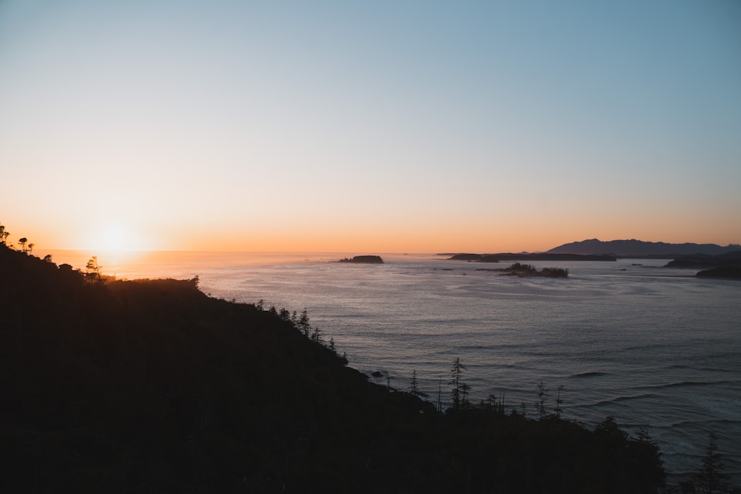
Vancouver Island
Canada
In short: Vancouver Island is a About 950 km one-way plus ferries scenic road trip in Canada, typically driven over 7 days one-way / 9–10 days closed loop, best in May–Sep. Highlights: Victoria, Nanaimo, Pacific Rim National Park.
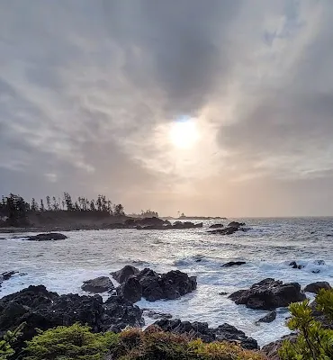
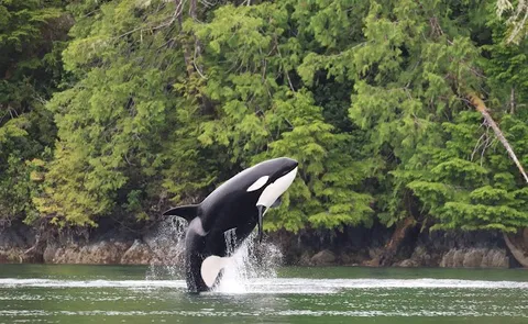
The island that out-British-Columbias BC, Victoria's Empress Hotel and Butchart Gardens, the Pacific Rim National Park's Long Beach surfing, Tofino's temperate rainforest and whale-watching, Campbell River's wild salmon, and Telegraph Cove's orca colony in Johnstone Strait. The most accessible wild coastline in Canada.
Make this route yours
Set your dates, pace, and taste, and RoadAtlas AI rebuilds this trip day by day with real, verified places.
Included with Traveler and Explorer plans.
Plan this trip
Third-party planning links may be affiliate links. RoadAtlas stays independent, and you should verify details with the provider.
Day-by-day itinerary
Day 1Victoria
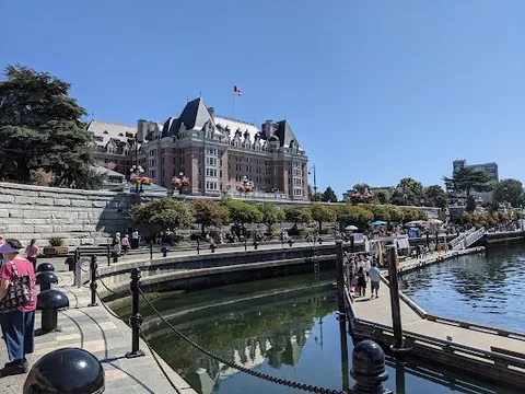
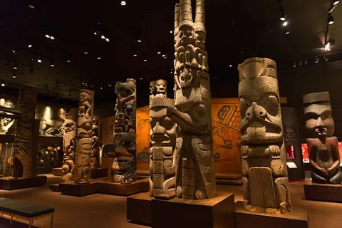
Royal BC Museum · Inner Harbour Walk · Red Fish Blue Fish
Day 2Nanaimo
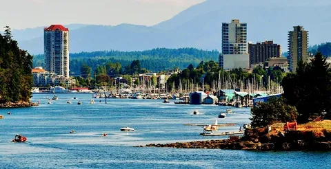
Nanaimo Harbourfront Walkway · Newcastle Island Marine Provincial Park · Gabriel's Gourmet Cafe
Day 3Mid-Island / Coombs and Cathedral Grove
Cathedral Grove · Little Qualicum Falls Provincial Park · Cuckoo Trattoria
Day 4Pacific Rim National Park / Ucluelet
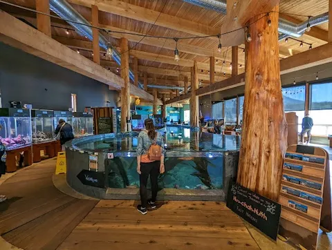
Wild Pacific Trail · Ucluelet Aquarium · Jiggers Fish and Chips
Day 5Tofino
Whale Watching Tours · Tonquin Beach Trail · Wolf in the Fog
Day 6Campbell River
Campbell River Discovery Passage Walk · Quinsam River Hatchery · Dick's Fish & Chips
Day 7Telegraph Cove
Telegraph Cove Boardwalk · Prince of Whales Telegraph Cove wildlife tour · Sally's Cafe
Stops along the route
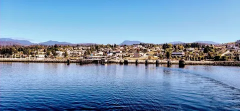
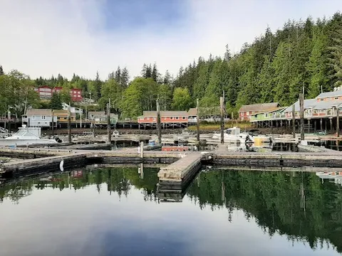
Things to Do
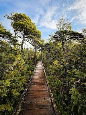
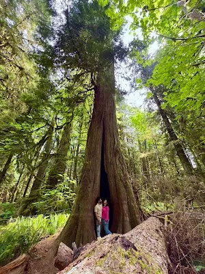
Where to Eat


Nearby and similar drives
Frequently asked questions
How long is the Vancouver Island drive?
The Vancouver Island covers About 950 km one-way plus ferries from start to finish.
How long does the Vancouver Island take to drive?
Most travellers spend 7 days one-way / 9–10 days closed loop on the Vancouver Island, depending on stops and pace.
When is the best time to drive the Vancouver Island?
The recommended season for the Vancouver Island is May–Sep.
Where does the Vancouver Island start and end?
The Vancouver Island runs from Victoria to Telegraph Cove.
What are the main stops on the Vancouver Island?
The Vancouver Island passes through Victoria, Nanaimo, Pacific Rim National Park.
How difficult is the Vancouver Island to drive?
The Vancouver Island is rated easy and is best handled with any vehicle.
Can I drive the Vancouver Island in a regular car?
Yes — the Vancouver Island is paved end-to-end and a regular car is fine in normal conditions.
How many fuel stops are needed on the Vancouver Island?
Plan around 1 refuels (or about 3 EV charges) along the Vancouver Island, based on its About 950 km one-way plus ferries length.
Is the Vancouver Island EV friendly?
Yes — the Vancouver Island has charger coverage along the route and works as an EV road trip.
Is the Vancouver Island safe to drive?
Reserve the inbound and exit BC Ferries sailings and arrive within the required check-in window; the seven-day plan ends in Telegraph Cove and needs an explicit east-coast exit ferry or return drive. North of Campbell River, top up fuel, carry offline maps or satellite communication, and verify EV chargers. Check Parks Canada passes and Pacific Rim bulletins, Highway 4, weather, and marine-tour cancellations.
What scenic tier is the Vancouver Island?
The Vancouver Island is a iconic drive — Iconic road trips that anchor a region's reputation — postcard scenery, headline highways, and the routes most travellers want to drive.