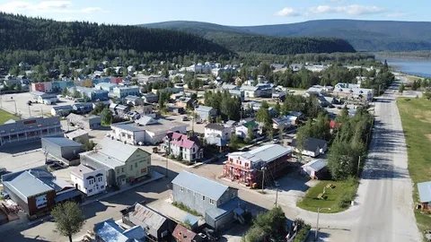
Dempster Highway
Canada
In short: Dempster Highway is a about 780 km from Dawson City (736 km from the highway junction) adventure road trip in Canada, typically driven over 4–5 days plus weather buffer, best in Jun–Sep. Highlights: Dawson City, Tombstone Territorial Park, Eagle Plains.
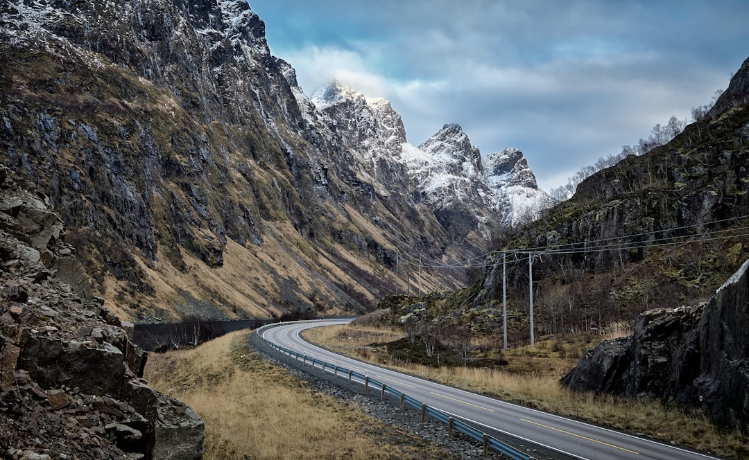
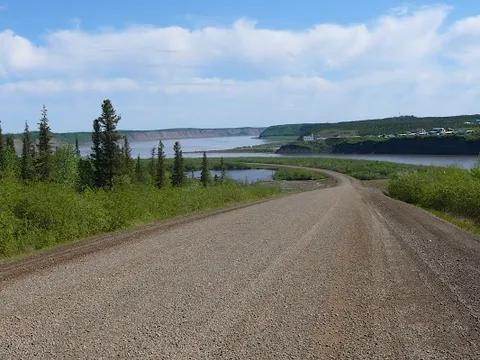
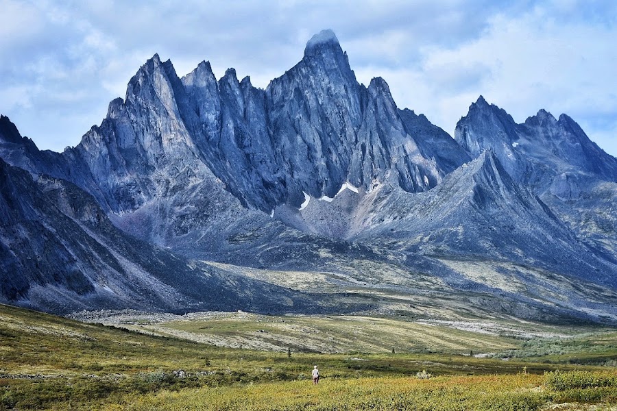
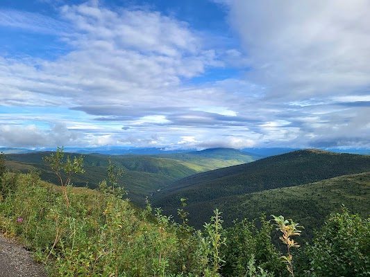
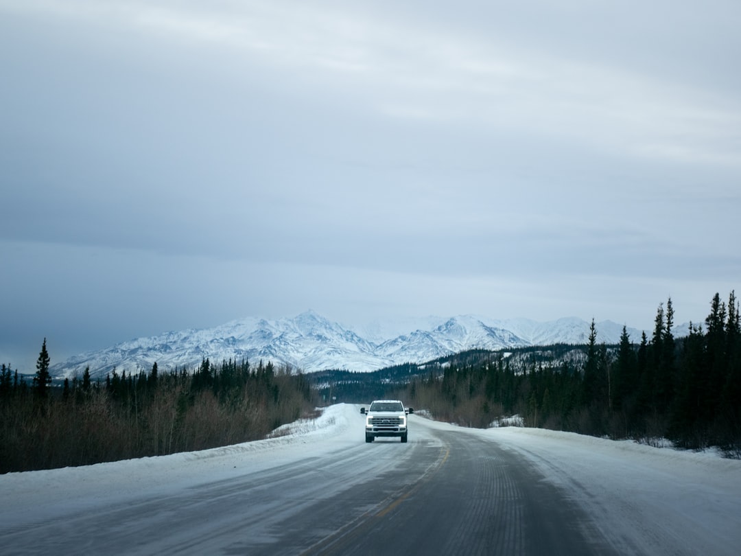
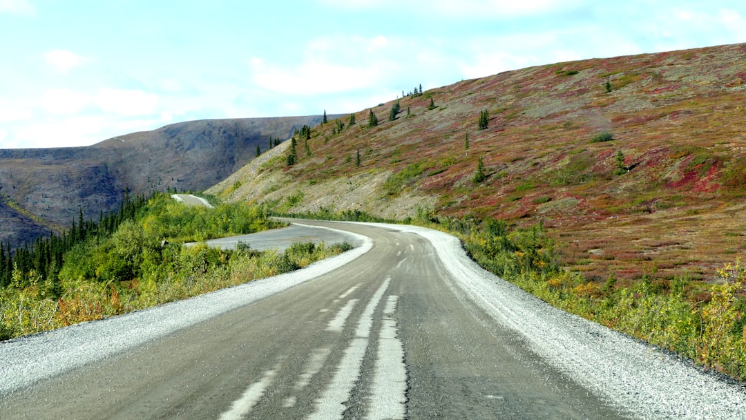
Canada's loneliest highway branches off the Klondike near Dawson City and swings north through pristine wilderness to Inuvik, past the Arctic Circle, over two river ferries, through permafrost tundra, and finally to the shores of the Mackenzie Delta. Bring two spare tyres and emergency supplies; there is no phone reception.
Make this route yours
Set your dates, pace, and taste, and RoadAtlas AI rebuilds this trip day by day with real, verified places.
Included with Traveler and Explorer plans.
Plan this trip
Third-party planning links may be affiliate links. RoadAtlas stays independent, and you should verify details with the provider.
Day-by-day itinerary
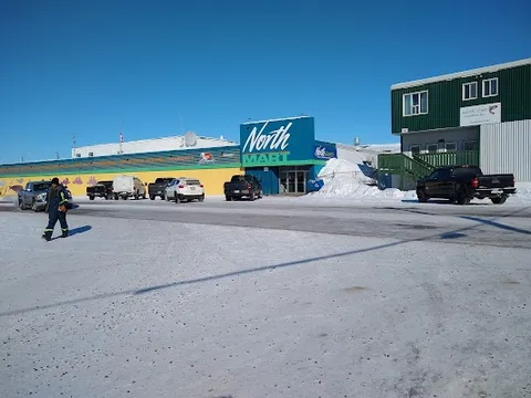
Day 1Dawson City and Tombstone Territorial Park
Tombstone Interpretive Centre · North Fork Pass viewpoint and short park walk · Dawson City provisions
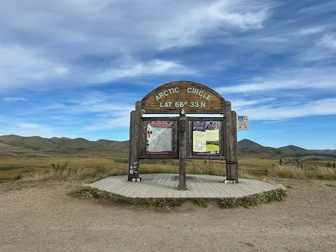
Day 2Eagle Plains and Arctic Circle
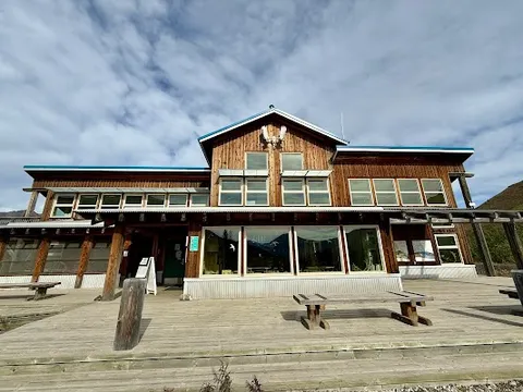
Arctic Circle Sign Pullout · Eagle Plains Lodge Frontiersman Monument · Eagle Plains Hotel Restaurant
Day 3Eagle Plains to Fort McPherson and Tsiigehtchic
Fort McPherson community stop · Peel and Mackenzie River ferries · Eagle Plains departure meal
Day 4Mackenzie Delta to Inuvik
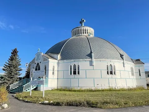
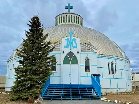
Our Lady of Victory Church · Western Arctic Regional Visitor Centre · Alestine's
Stops along the route
Things to Do


Show 1 more
Where to Eat
Nearby and similar drives
Frequently asked questions
How long is the Dempster Highway drive?
The Dempster Highway covers about 780 km from Dawson City (736 km from the highway junction) from start to finish.
How long does the Dempster Highway take to drive?
Most travellers spend 4–5 days plus weather buffer on the Dempster Highway, depending on stops and pace.
When is the best time to drive the Dempster Highway?
The recommended season for the Dempster Highway is Jun–Sep.
Where does the Dempster Highway start and end?
The Dempster Highway runs from Dawson City to Inuvik.
What are the main stops on the Dempster Highway?
The Dempster Highway passes through Dawson City, Tombstone Territorial Park, Eagle Plains.
How difficult is the Dempster Highway to drive?
The Dempster Highway is rated hard and is best handled with suv only.
Do I need a 4WD for the Dempster Highway?
Yes — the Dempster Highway includes off-road or rough sections that require suv only.
How many fuel stops are needed on the Dempster Highway?
Plan around 1 refuels (or about 2 EV charges) along the Dempster Highway, based on its about 780 km from Dawson City (736 km from the highway junction) length.
Is the Dempster Highway safe to drive?
The gravel Dempster crosses two seasonal ferries that stop during freeze-up and break-up. Carry two full-size spares, puncture repair, fuel, and emergency supplies. The Yukon–Northwest Territories line is a territorial boundary, not an international customs crossing. Treat the Inuvik–Tuktoyaktuk Highway as an optional extension with separate live road and season checks.
What scenic tier is the Dempster Highway?
The Dempster Highway is a legendary drive — The world's most extraordinary drives — once-in-a-lifetime road trips with cinematic scenery, legendary roads, and unmatched cultural depth.