Klondike Highway — Canada — Historical
North America

Klondike Highway

Canada

Point-to-point
Skagway Dawson City

In short: Klondike Highway is a 715 km historical road trip in Canada, typically driven over 4 days, best in May–Sep. Highlights: Skagway, White Pass Summit, Carcross.

Distance
715 km
Duration
4 days
Best Season
May–Sep
NotableModerateHistoricalBorder crossing

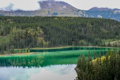
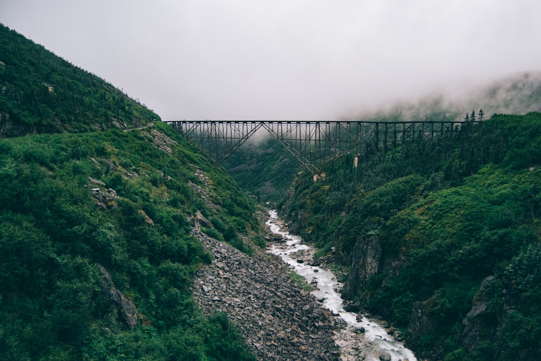
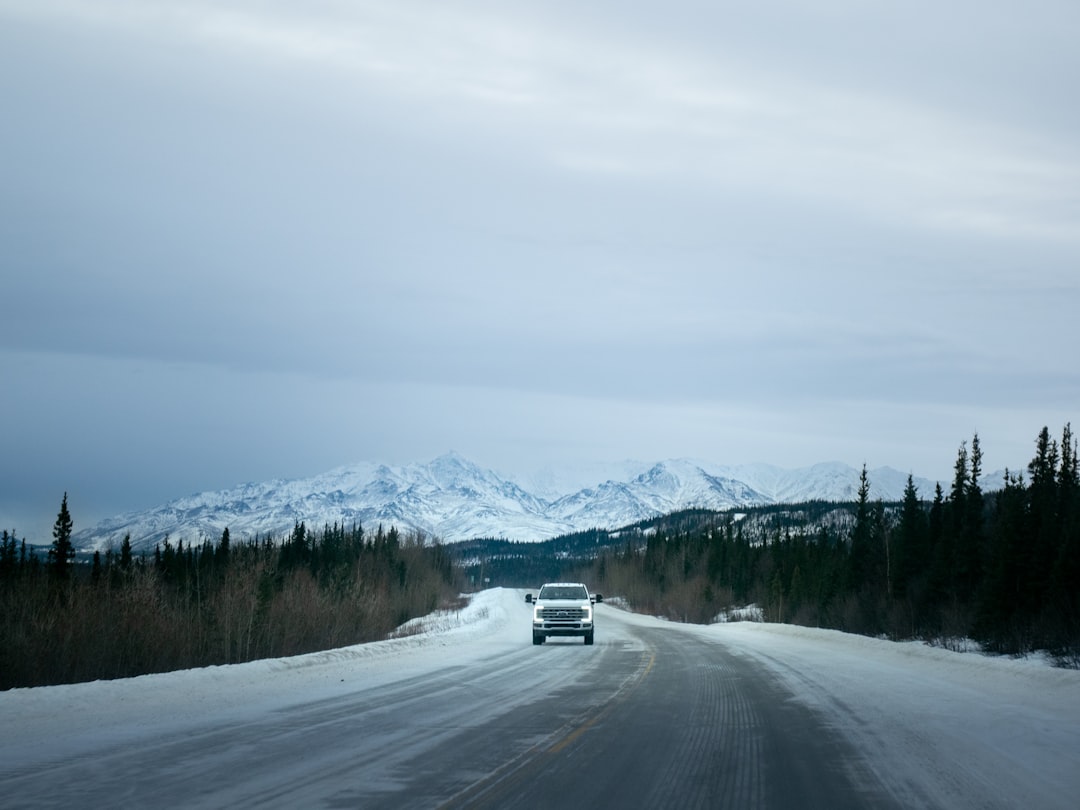
Climbing out of Skagway over the White Pass where pack animals collapsed in their thousands during the Gold Rush, the Klondike Highway follows the prospectors' footsteps through steely lakes and abandoned roadhouses to Dawson City, a boomtown frozen in 1898.

~1 refuel
~2 charges
Practical notes
Carry a passport for the Skagway–Yukon crossing. Check and reserve the White Pass railway and Dredge No. 4 on their current operating calendars, plan fuel north of Whitehorse, and drive in daylight for wildlife. Whitehorse to Dawson is a full 530 km transfer and should not share a day with Dawson attractions.

Make this route yours

Set your dates, pace, and taste, and RoadAtlas AI rebuilds this trip day by day with real, verified places.

Included with Traveler and Explorer plans.

Explore on the interactive map →

Plan this trip

Third-party planning links may be affiliate links. RoadAtlas stays independent, and you should verify details with the provider.

Day-by-day itinerary

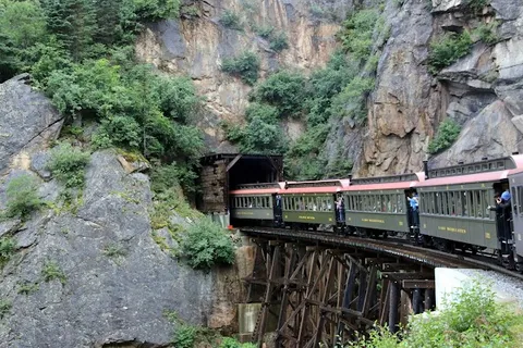
Day 1Skagway and White Pass Summit corridor

White Pass & Yukon Route Railway · Lower Reid Falls Trail · Skagway Brewing Company

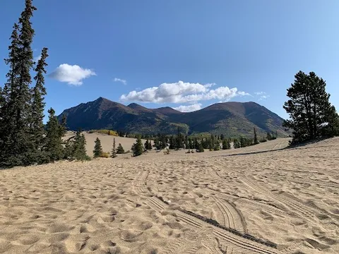
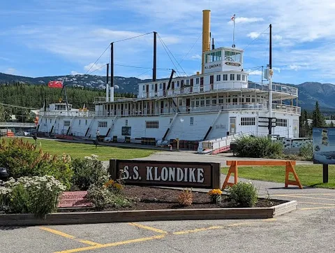
Day 2Carcross and Whitehorse

Carcross Desert · SS Klondike National Historic Site · Caribou Crossing Coffee

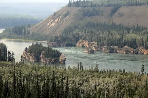
Day 3Whitehorse to Dawson City via Five Finger Rapids

Five Finger Rapids viewpoint trail · Pelly Crossing and river rest stops · Whitehorse road provisions

Day 4Dawson City and the Klondike Goldfields

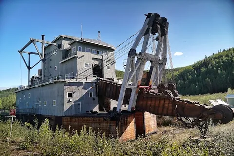
Dredge No. 4 National Historic Site · Midnight Dome · Klondike Kate's Restaurant

Stops along the route
Skagway — Departure — Klondike Highway — Canada
Departure
Skagway
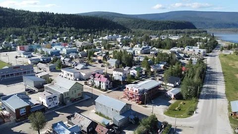
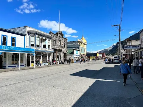
A boomtown of 40,000 in 1898, now a quiet port of 1,000. Broadway Street's false-fronted wooden buildings are intact; the White Pass trail starts here.
Hotels
Carcross — City — Klondike Highway — Canada
City
Carcross
A lakeside village with a historic general store and the Carcross Desert, a 2.6 sq km remnant glacial lakebed, often called the world's smallest desert.
Hotels
Whitehorse — City — Klondike Highway — Canada
City
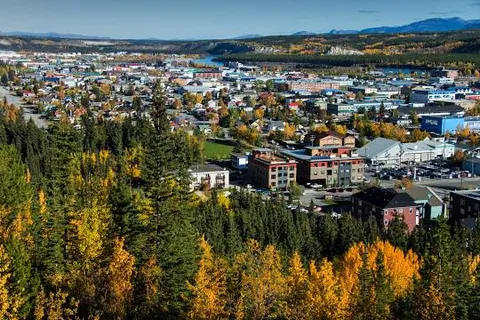
Whitehorse
The Yukon's thriving capital. The SS Klondike sternwheeler is dry-docked on the riverbank; Miles Canyon cuts the Yukon River just south of town.
Hotels
Dawson City — Arrival — Klondike Highway — Canada
Arrival
Dawson City
The end of the stampede trail. False-fronted saloons, active gold-panning claims, and Diamond Tooth Gertie's gambling hall, all frozen in 1898 amber.
Hotels

Things to Do

White Pass Summit — Nature — Klondike Highway — Canada
Nature
White Pass Summit
The Dead Horse Trail, where 3,000 pack animals perished in the winter of 1897-98. At 873m the view back down to the Skagway River is desolate and vast.
Five Finger Rapids — Nature — Klondike Highway — Canada
Nature
Five Finger Rapids
Four basalt pillars funnel the Yukon River into churning channels near Carmacks. Gold Rush stampeders ran these rapids in heavily laden wooden boats.
White Pass & Yukon Route Railway — Historic Site — Klondike Highway — Canada
Historic Site
White Pass & Yukon Route Railway
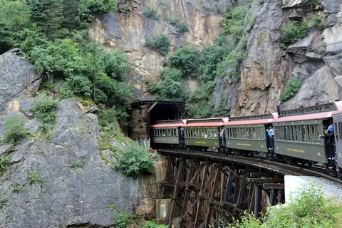
Ride a historic narrow-gauge train through stunning mountain scenery from Skagway to White Pass Summit.
Carcross Desert — Nature — Klondike Highway — Canada
Nature
Carcross Desert
Explore the world's smallest desert, featuring unique sand dunes amidst a northern landscape.
SS Klondike National Historic Site — Museum — Klondike Highway — Canada
Museum
SS Klondike National Historic Site
Tour a restored sternwheeler that once navigated the Yukon River, showcasing the region's riverboat history.
Dredge No. 4 National Historic Site — Historic Site — Klondike Highway — Canada
Historic Site
Dredge No. 4 National Historic Site
Visit a massive gold dredge that operated in the Klondike Goldfields, offering insights into gold mining history.

Where to Eat

Skagway Brewing Company — Brewpub — Klondike Highway — Canada
Brewpub
Skagway Brewing Company
Enjoy craft beers and hearty pub fare in a historic setting dating back to the Gold Rush era.
Baked Café & Bakery — Café — Klondike Highway — Canada
Café
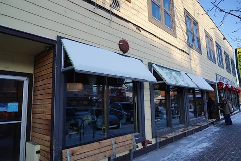
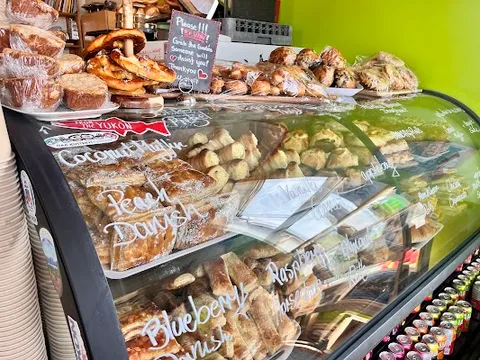
Baked Café & Bakery
Savor freshly baked goods and artisanal coffee in a cozy atmosphere in downtown Whitehorse.
Klondike Kate's Restaurant — Local Diner — Klondike Highway — Canada
Local Diner
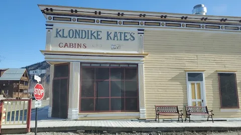
Klondike Kate's Restaurant
Experience Yukon hospitality with classic dishes and live music in a rustic log cabin.
Caribou Crossing Coffee — Café — Klondike Highway — Canada
Café
Caribou Crossing Coffee
Relax with a cup of locally roasted coffee and homemade pastries in Carcross.

Nearby and similar drives

Frequently asked questions

How long is the Klondike Highway drive?

The Klondike Highway covers 715 km from start to finish.

How long does the Klondike Highway take to drive?

Most travellers spend 4 days on the Klondike Highway, depending on stops and pace.

When is the best time to drive the Klondike Highway?

The recommended season for the Klondike Highway is May–Sep.

Where does the Klondike Highway start and end?

The Klondike Highway runs from Skagway to Dawson City.

What are the main stops on the Klondike Highway?

The Klondike Highway passes through Skagway, White Pass Summit, Carcross.

How difficult is the Klondike Highway to drive?

The Klondike Highway is rated moderate and is best handled with any vehicle.

Can I drive the Klondike Highway in a regular car?

Yes — the Klondike Highway is paved end-to-end and a regular car is fine in normal conditions.

Do I need a permit or border paperwork for the Klondike Highway?

Yes — the Klondike Highway requires permits, fees, or border paperwork. Plan ahead: Carry a passport for the Skagway–Yukon crossing. Check and reserve the White Pass railway and Dredge No. 4 on their current operating calendars, plan fuel north of Whitehorse, and drive in daylight for wildlife. Whitehorse to Dawson is a full 530 km transfer and should not share a day with Dawson attractions.

How many fuel stops are needed on the Klondike Highway?

Plan around 1 refuels (or about 2 EV charges) along the Klondike Highway, based on its 715 km length.

Is the Klondike Highway safe to drive?

Carry a passport for the Skagway–Yukon crossing. Check and reserve the White Pass railway and Dredge No. 4 on their current operating calendars, plan fuel north of Whitehorse, and drive in daylight for wildlife. Whitehorse to Dawson is a full 530 km transfer and should not share a day with Dawson attractions.

What scenic tier is the Klondike Highway?

The Klondike Highway is a notable drive — Notable scenic drives — strong character routes that locals know well and that reward travellers willing to step beyond the most-photographed roads.