Stewart-Cassiar Highway
Canada
In short: Stewart-Cassiar Highway is a 740 km spine; detours extra adventure road trip in Canada, typically driven over 4 days spine / 6 days with both side trips, best in Jun–Sep. Highlights: Kitwanga Junction, Gitanyow, Meziadin Junction.
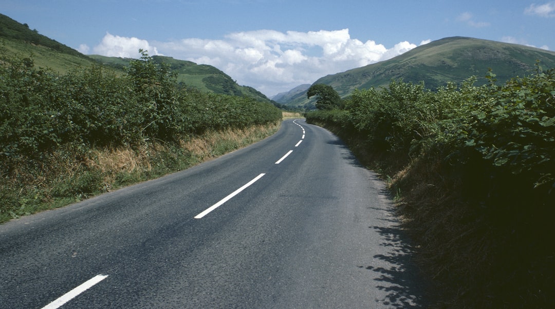
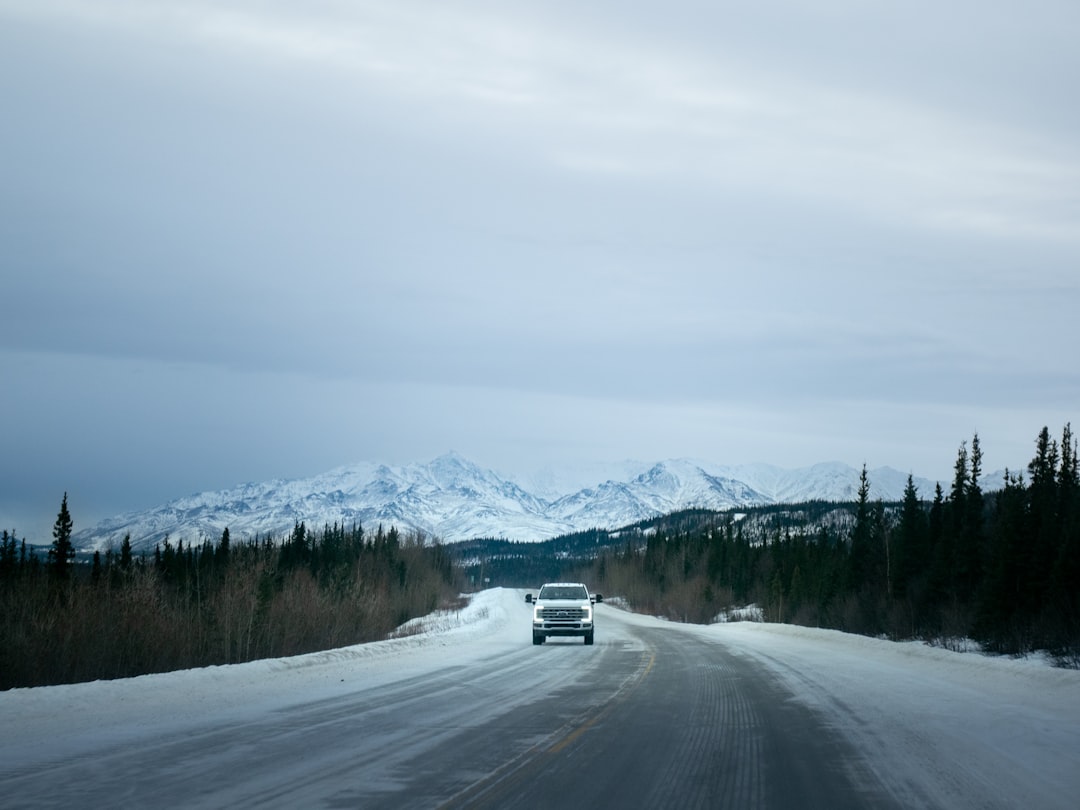
The classic Highway 37 spine runs 740 km from Kitwanga to Watson Lake. Stewart/Hyder/Salmon Glacier and Telegraph Creek are optional multi-day side trips, not ordinary spine waypoints.
Make this route yours
Set your dates, pace, and taste, and RoadAtlas AI rebuilds this trip day by day with real, verified places.
Included with Traveler and Explorer plans.
Plan this trip
Third-party planning links may be affiliate links. RoadAtlas stays independent, and you should verify details with the provider.
Day-by-day itinerary
Day 1Kitwanga Junction to Gitanyow and Meziadin Junction
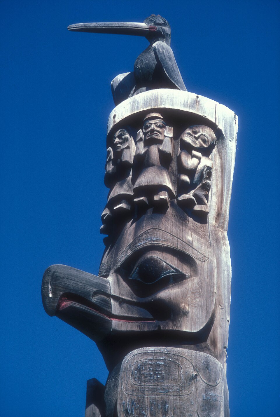
Gitanyow Totem Poles · Gitwangak Battle Hill Historic Site · Kitwanga departure provisions
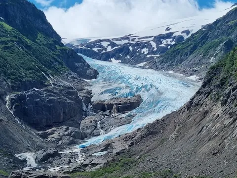
Day 2Optional Stewart and Hyder side trip
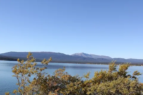
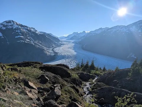
Bear Glacier Provincial Park · Salmon Glacier Overlook · King Edward Hotel Cafe
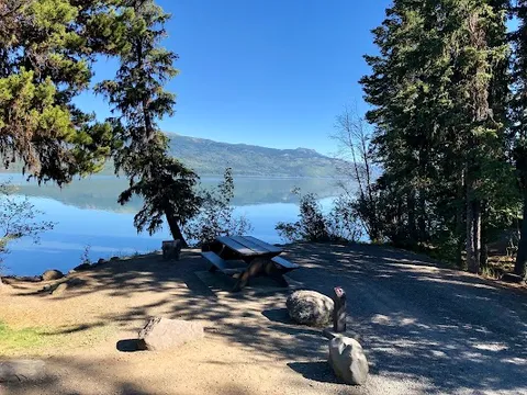
Day 3Meziadin Junction to Kinaskan Lake and Bell II
Kinaskan Lake Provincial Park · Highway 37 scenic pullouts · Bell II Lodge Restaurant
Day 4Bell II to Jade City and Dease Lake
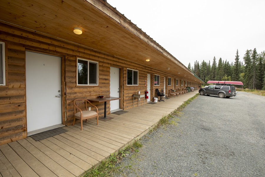
Jade City · Dease Lake Waterfront Stroll · Bell II Lodge Restaurant
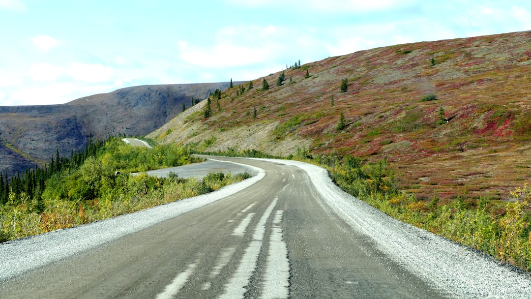
Day 5Optional Telegraph Creek Road weather day from Dease Lake
Telegraph Creek Road · Dease Lake provisions
Day 6Dease Lake to Watson Lake
Boya Lake Provincial Park · Sign Post Forest · Dease Lake departure provisions
Stops along the route
Things to Do

Show 2 more

Where to Eat

Nearby and similar drives
Frequently asked questions
How long is the Stewart-Cassiar Highway drive?
The Stewart-Cassiar Highway covers 740 km spine; detours extra from start to finish.
How long does the Stewart-Cassiar Highway take to drive?
Most travellers spend 4 days spine / 6 days with both side trips on the Stewart-Cassiar Highway, depending on stops and pace.
When is the best time to drive the Stewart-Cassiar Highway?
The recommended season for the Stewart-Cassiar Highway is Jun–Sep.
Where does the Stewart-Cassiar Highway start and end?
The Stewart-Cassiar Highway runs from Kitwanga Junction to Watson Lake.
What are the main stops on the Stewart-Cassiar Highway?
The Stewart-Cassiar Highway passes through Kitwanga Junction, Gitanyow, Meziadin Junction.
How difficult is the Stewart-Cassiar Highway to drive?
The Stewart-Cassiar Highway is rated hard and is best handled with suv only.
Do I need a 4WD for the Stewart-Cassiar Highway?
Yes — the Stewart-Cassiar Highway includes off-road or rough sections that require suv only.
Do I need a permit or border paperwork for the Stewart-Cassiar Highway?
Yes — the Stewart-Cassiar Highway requires permits, fees, or border paperwork. Plan ahead: Use live DriveBC and BC 511 reports rather than a blanket unpaved percentage. Highway 37 is principally paved/chipseal, while the Salmon Glacier and Telegraph Creek side roads are rough, weather-dependent detours. Stewart/Hyder crosses the Canada–US border, so carry passports and confirm Alaska insurance. Carry two spares, satellite communication, fuel, and provisions.
How many fuel stops are needed on the Stewart-Cassiar Highway?
Plan around 1 refuels (or about 2 EV charges) along the Stewart-Cassiar Highway, based on its 740 km spine; detours extra length.
Is the Stewart-Cassiar Highway safe to drive?
Use live DriveBC and BC 511 reports rather than a blanket unpaved percentage. Highway 37 is principally paved/chipseal, while the Salmon Glacier and Telegraph Creek side roads are rough, weather-dependent detours. Stewart/Hyder crosses the Canada–US border, so carry passports and confirm Alaska insurance. Carry two spares, satellite communication, fuel, and provisions.
What scenic tier is the Stewart-Cassiar Highway?
The Stewart-Cassiar Highway is a iconic drive — Iconic road trips that anchor a region's reputation — postcard scenery, headline highways, and the routes most travellers want to drive.