RoadAtlas
Discover the world's greatest drives and plan your next road trip. 512 curated routes with stops, photos, distances, and the best season to go.
Start with the map. Follow the route. Then open the details.
RoadAtlas is built around a world map of road trips. Use it to move from continent to country to route, then open the route panel for stops, directions, practical notes, and related drives.
 Interactive route browserExplore routes by geography, then open detailed trip panels.
Any route, rebuilt around you
Pick a route and tell us how you travel: dates, pace, food, kids, budget. RoadAtlas AI turns it into your own day-by-day plan.
- Your dates, your pace, your interests
- Real, verified places, not invented ones
- Day-by-day plan to share or save as PDF
An independent project mapping the world's greatest drives, with every route grounded in real geography.
Africa
Safari drives, escarpment roads, and ancient desert routes across the world's wildest continent
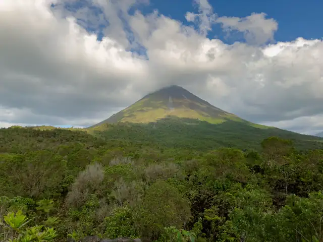
Central America & Caribbean
Tropical drives through colonial cities, volcanoes, and island roads
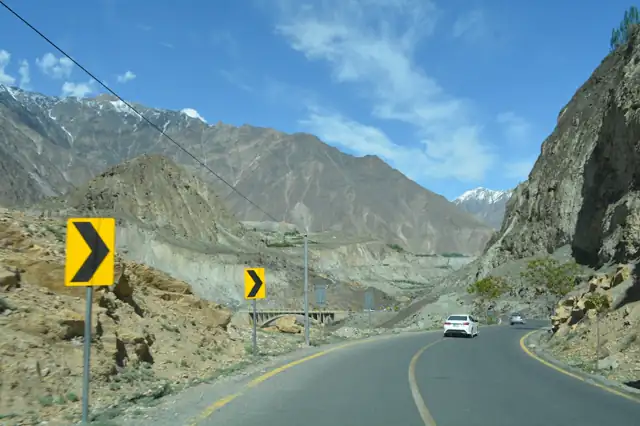
Central Asia
The original Silk Road, high passes, steppe highways, and ancient caravanserai cities

East Asia
Ancient temple roads, coastal highways, and mountain routes through the Far East
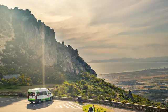
Europe
Coastal corniches, mountain passes, and fjord highways from the Mediterranean to the Arctic

Middle East
Mountain roads above the desert and ancient trade routes across the Arabian Peninsula

North America
From the Mother Road to Pacific cliffs, iconic highways through the continent's legendary landscapes
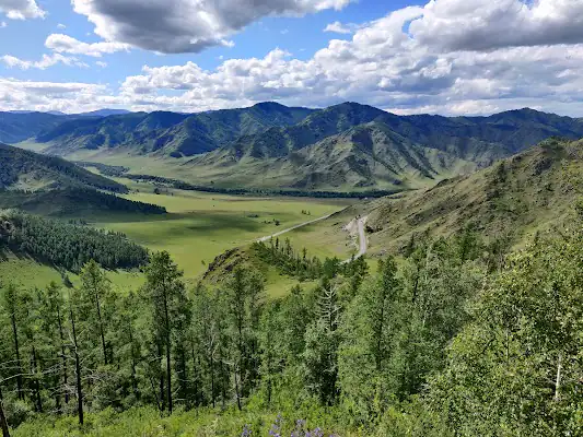
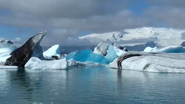
North Asia
Trans-Siberian wilderness, Arctic highways, and volcanic peninsulas across the world's largest country

Australia & Pacific
Edge-of-the-world coastal roads and outback highways across the Southern Hemisphere

South America
Patagonian wilderness, Andean altiplano, and Atlantic rainforest coast roads
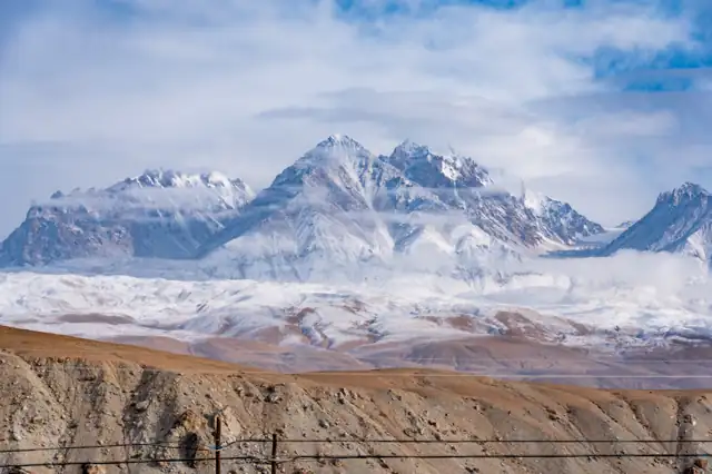
South Asia
Himalayan highways, sacred valleys, and mountain kingdom roads at the top of the world
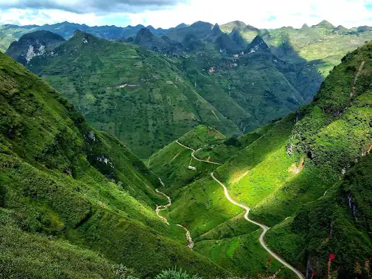
Southeast Asia
Coastal passes, highland loop roads, and historic highways through tropical Asia