Top of the World Highway
Canada
In short: Top of the World Highway is a 174 km / 108 mi plus ferry; about 190 km with Midnight Dome scenic road trip in Canada, typically driven over 2 days, best in June-September. Highlights: Dawson City, Midnight Dome, Top of the World Highway Lookout.
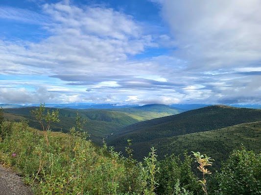
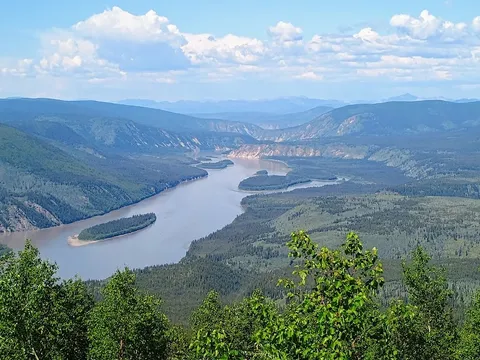
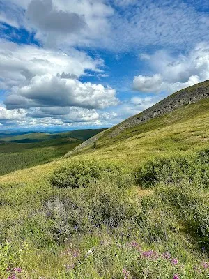
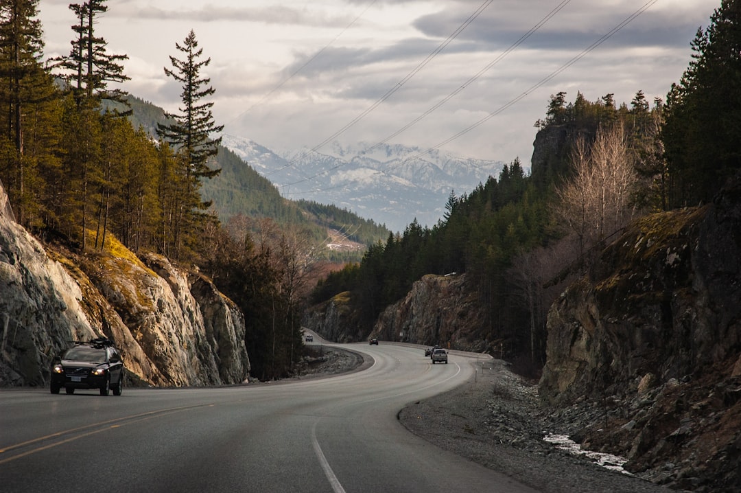
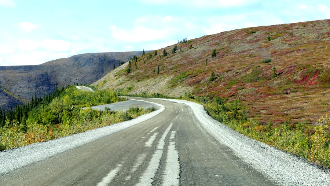
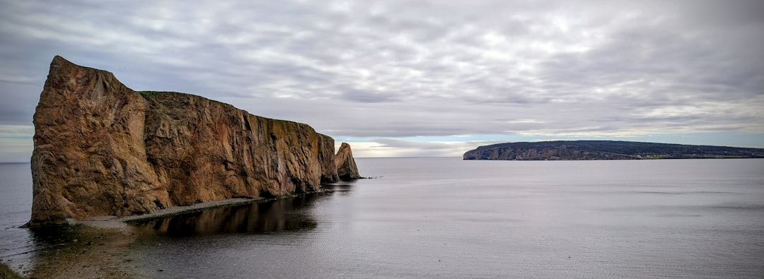
Climb out of Dawson City onto a high alpine ridge where gravel pavement traces the Yukon–Alaska divide for miles above treeline. The drive delivers vast 360-degree views, gold-rush history, and a dramatic descent to the remote border crossing at Poker Creek and then into Chicken, Alaska.
Make this route yours
Set your dates, pace, and taste, and RoadAtlas AI rebuilds this trip day by day with real, verified places.
Included with Traveler and Explorer plans.
Plan this trip
Third-party planning links may be affiliate links. RoadAtlas stays independent, and you should verify details with the provider.
Day-by-day itinerary
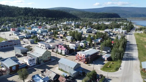
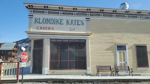
Day 1Dawson City, George Black ferry, and Top of the World ridge
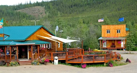
Midnight Dome Viewpoint · George Black ferry · Bon Ton & Co. Bakery
Day 2Border crossing to Chicken, Alaska
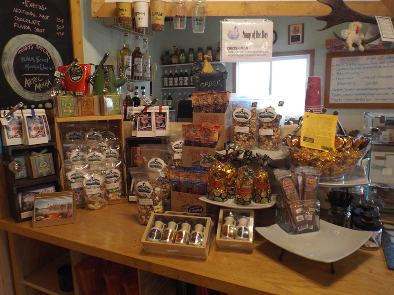
Yukon–Alaska boundary at Poker Creek · Poker Creek - Little Gold Creek Border Crossing · Chicken Creek Outpost Café
Stops along the route
Things to Do
Show 2 more
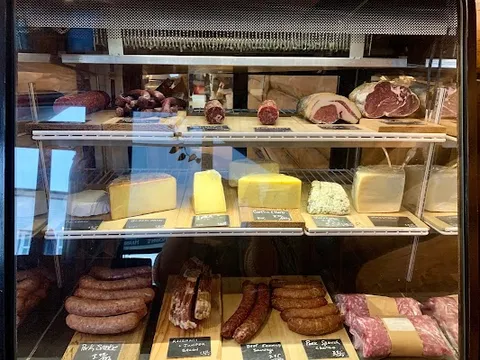
Where to Eat

Nearby and similar drives
Frequently asked questions
How long is the Top of the World Highway drive?
The Top of the World Highway covers 174 km / 108 mi plus ferry; about 190 km with Midnight Dome from start to finish.
How long does the Top of the World Highway take to drive?
Most travellers spend 2 days on the Top of the World Highway, depending on stops and pace.
When is the best time to drive the Top of the World Highway?
The recommended season for the Top of the World Highway is June-September.
Where does the Top of the World Highway start and end?
The Top of the World Highway runs from Dawson City to Chicken Gold Camp & Outpost.
What are the main stops on the Top of the World Highway?
The Top of the World Highway passes through Dawson City, Midnight Dome, Top of the World Highway Lookout.
How difficult is the Top of the World Highway to drive?
The Top of the World Highway is rated moderate and is best handled with any vehicle.
Do I need a 4WD for the Top of the World Highway?
Yes — the Top of the World Highway includes off-road or rough sections that require any vehicle.
Do I need a permit or border paperwork for the Top of the World Highway?
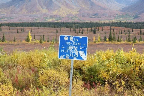
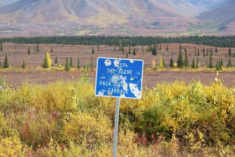
Yes — the Top of the World Highway requires permits, fees, or border paperwork. Plan ahead: The free George Black ferry is the route’s first operational dependency and normally runs mid-May to mid-October, weather permitting; check 511 Yukon. Confirm the seasonal Little Gold–Poker Creek border window and hours, carry passports and customs documents, account for the one-hour Yukon–Alaska time difference, and fill up and provision in Dawson. Gravel, rain, sparse services, no cell coverage, and no winter maintenance require a full spare and closure fallback.
Is the Top of the World Highway safe to drive?
The free George Black ferry is the route’s first operational dependency and normally runs mid-May to mid-October, weather permitting; check 511 Yukon. Confirm the seasonal Little Gold–Poker Creek border window and hours, carry passports and customs documents, account for the one-hour Yukon–Alaska time difference, and fill up and provision in Dawson. Gravel, rain, sparse services, no cell coverage, and no winter maintenance require a full spare and closure fallback.
What scenic tier is the Top of the World Highway?
The Top of the World Highway is a iconic drive — Iconic road trips that anchor a region's reputation — postcard scenery, headline highways, and the routes most travellers want to drive.