Cabot Trail
Canada
In short: Cabot Trail is a 298 km scenic road trip in Canada, typically driven over 3–4 days, best in Jun–Oct. Highlights: Baddeck, Cheticamp, Cape Breton Highlands National Park.
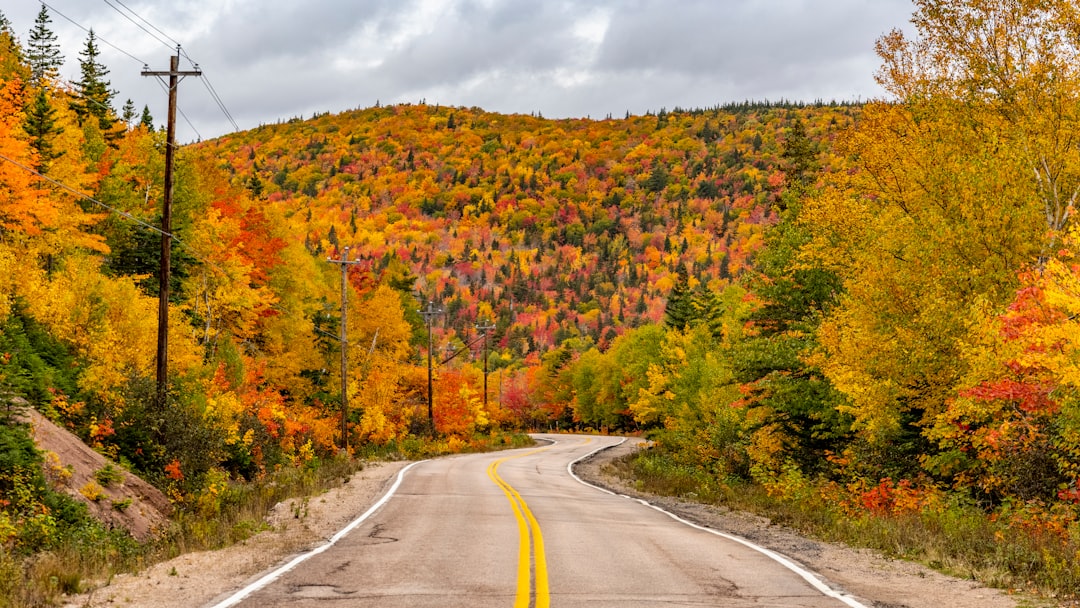
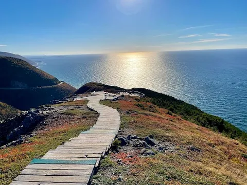
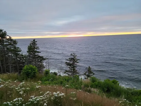
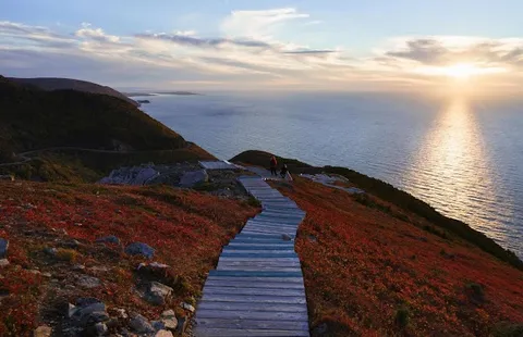
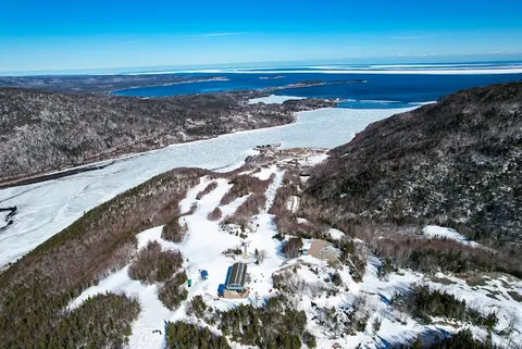
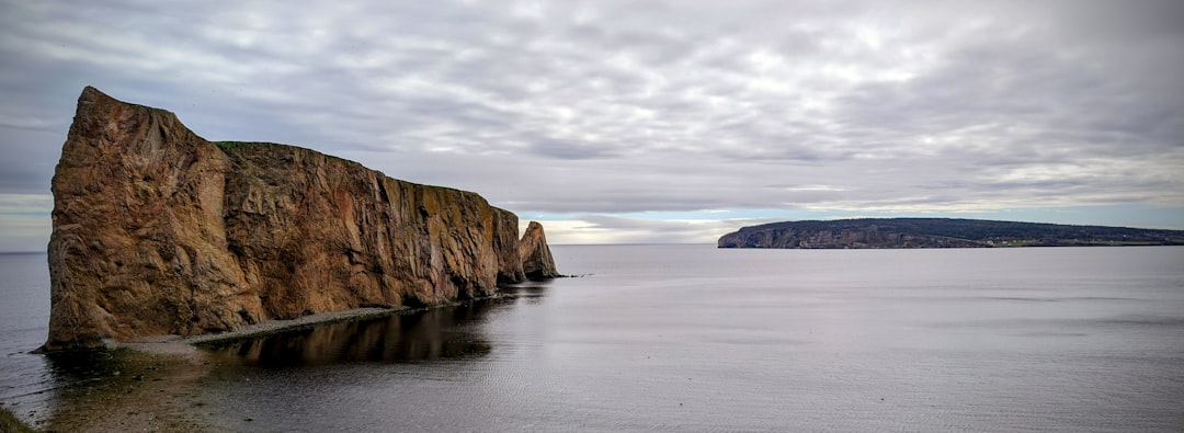
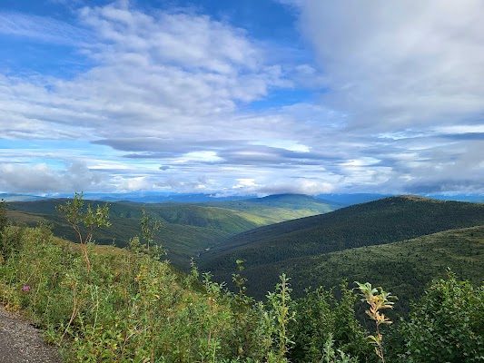
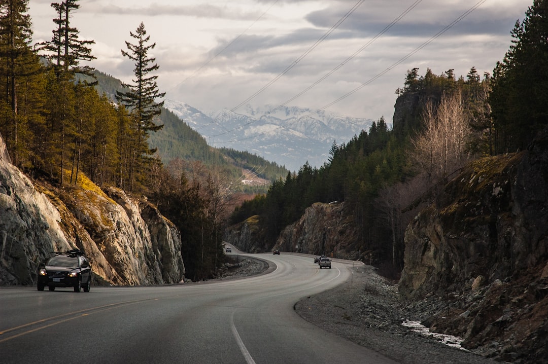
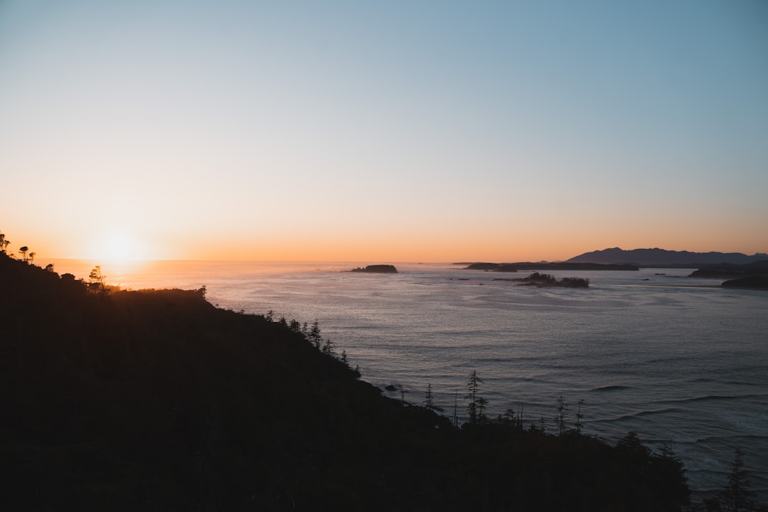
Cape Breton's Cabot Trail is one of the most scenic drives in North America, the road climbs over the Cape Breton Highlands, drops to sea-level fishing villages, and traces cliff edges with 300m drops into the Gulf of St. Lawrence.
Make this route yours
Set your dates, pace, and taste, and RoadAtlas AI rebuilds this trip day by day with real, verified places.
Included with Traveler and Explorer plans.
Plan this trip
Third-party planning links may be affiliate links. RoadAtlas stays independent, and you should verify details with the provider.
Day-by-day itinerary
Day 1Baddeck via Margaree to Chéticamp
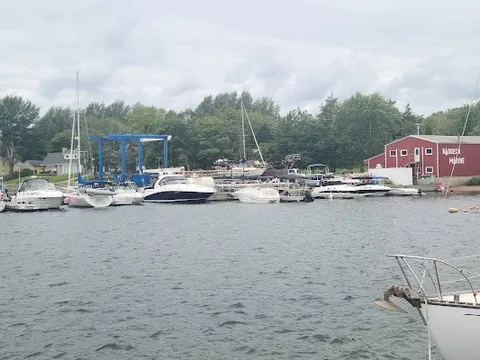
Les Trois Pignons · Alexander Graham Bell National Historic Site · The Freight Shed
Day 2Chéticamp via Skyline Trail to Pleasant Bay
Skyline Trail (reserved parking) · Pleasant Bay coastal overlooks · The Rusty Anchor Restaurant
Day 3Cape North via Ingonish to Baddeck
Aspy Bay Lookoff · Cape Smokey Gondola · The Clucking Hen Cafe
Stops along the route
Things to Do

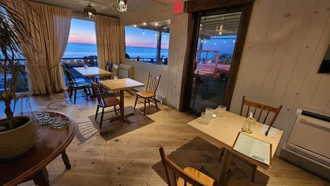
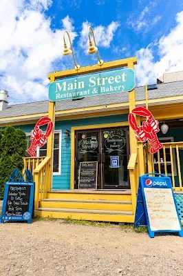
Where to Eat

Nearby and similar drives
Frequently asked questions
How long is the Cabot Trail drive?
The Cabot Trail covers 298 km from start to finish.
How long does the Cabot Trail take to drive?
Most travellers spend 3–4 days on the Cabot Trail, depending on stops and pace.
When is the best time to drive the Cabot Trail?
The recommended season for the Cabot Trail is Jun–Oct.
What are the main stops on the Cabot Trail?
The Cabot Trail passes through Baddeck, Cheticamp, Cape Breton Highlands National Park.
How difficult is the Cabot Trail to drive?
The Cabot Trail is rated moderate and is best handled with any vehicle.
Can I drive the Cabot Trail in a regular car?
Yes — the Cabot Trail is paved end-to-end and a regular car is fine in normal conditions.
Do I need a permit or border paperwork for the Cabot Trail?
Yes — the Cabot Trail requires permits, fees, or border paperwork. Plan ahead: Several sections have steep grades and tight cliff-edge curves. From June 26 through October 25, 2026, Skyline Trail parking requires advance booking for a four-hour window; reserve before driving into the park. Check Cape Breton Highlands National Park road and trail status before departure.
How many fuel stops are needed on the Cabot Trail?
Plan around 0 refuels (or about 1 EV charges) along the Cabot Trail, based on its 298 km length.
Is the Cabot Trail EV friendly?
Yes — the Cabot Trail has charger coverage along the route and works as an EV road trip.
Is the Cabot Trail safe to drive?
Several sections have steep grades and tight cliff-edge curves. From June 26 through October 25, 2026, Skyline Trail parking requires advance booking for a four-hour window; reserve before driving into the park. Check Cape Breton Highlands National Park road and trail status before departure.
What scenic tier is the Cabot Trail?
The Cabot Trail is a legendary drive — The world's most extraordinary drives — once-in-a-lifetime road trips with cinematic scenery, legendary roads, and unmatched cultural depth.