Gaspésie Loop
Canada
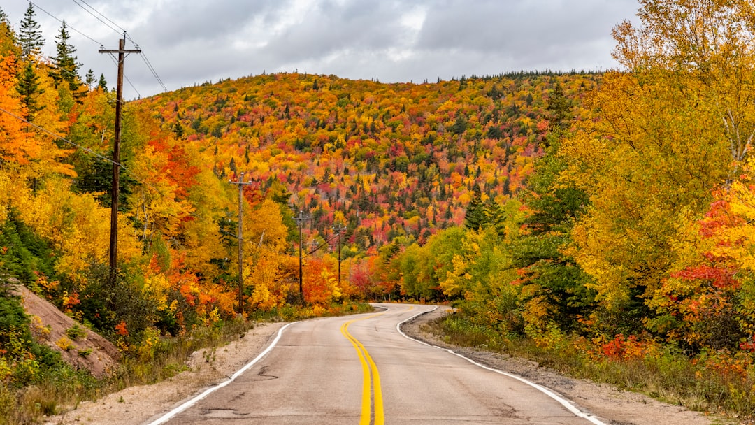
In short: Gaspésie Loop is a 885 km scenic road trip in Canada, typically driven over 6–7 days, best in Jun–Sep. Highlights: Sainte-Flavie, Matane, Sainte-Anne-des-Monts.
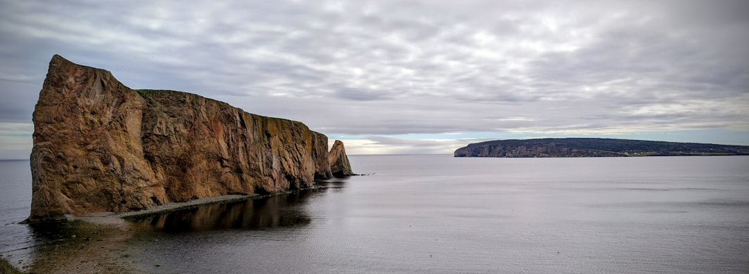
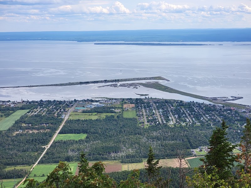
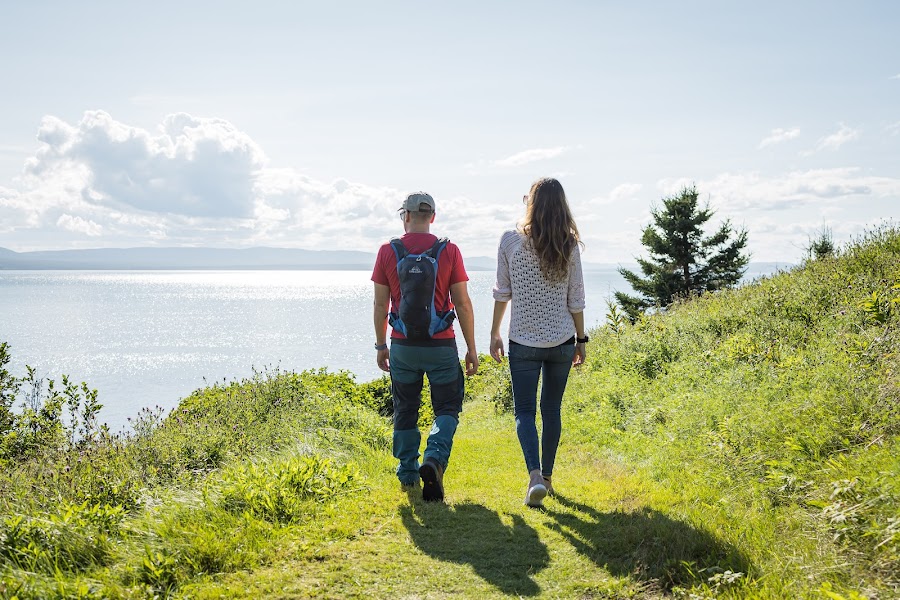
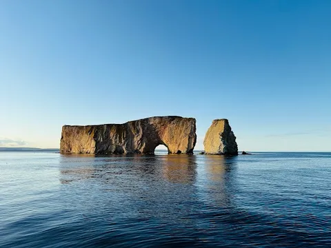
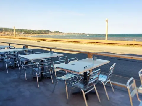
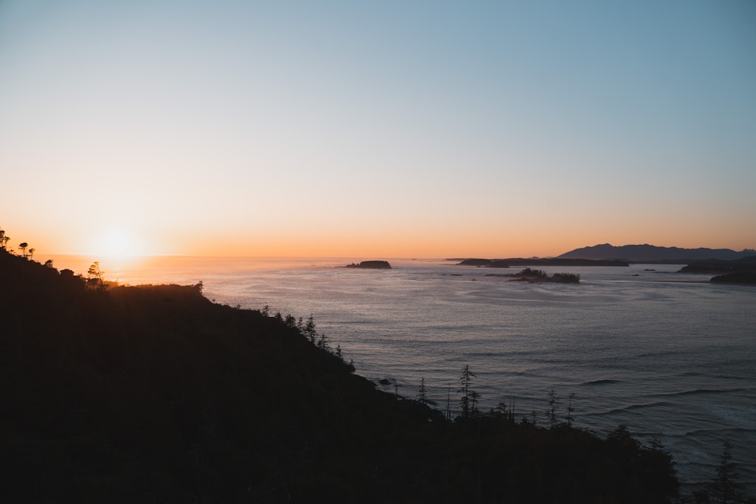
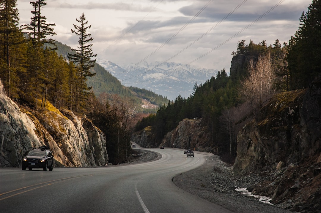
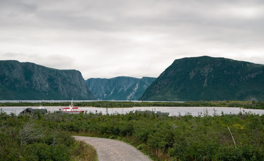
Quebec's classic 885 km Gaspésie Route 132 loop begins and ends at Sainte-Flavie, following the continuous coast past fishing villages, Forillon's sea cliffs, Percé Rock, and the Baie des Chaleurs.
Make this route yours
Set your dates, pace, and taste, and RoadAtlas AI rebuilds this trip day by day with real, verified places.
Included with Traveler and Explorer plans.
Plan this trip
Third-party planning links may be affiliate links. RoadAtlas stays independent, and you should verify details with the provider.
Day-by-day itinerary
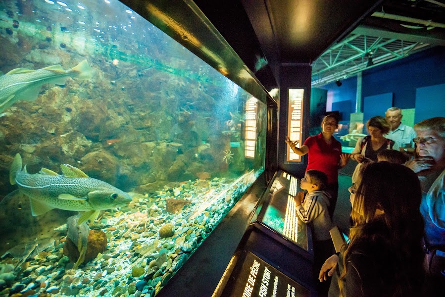
Day 1Sainte-Flavie to Sainte-Anne-des-Monts
Exploramer · Phare de Matane · Capitaine Homard
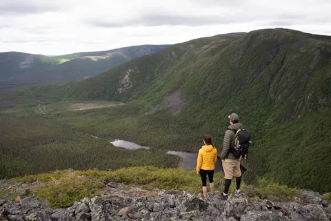
Day 2Forillon National Park and Gaspé
Forillon National Park · Cap Bon-Ami · Petit Café de L'Anse
Day 3Percé
Percé Rock · Mont Sainte-Anne Lookout · Restaurant La Maison du Pêcheur
Day 4Percé and Bonaventure Island
Bonaventure Island · Île-Bonaventure-et-du-Rocher-Percé National Park Visitor Area · Café-Bistro de la Vieille Usine
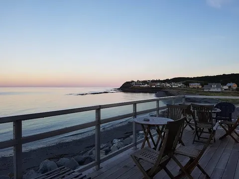
Day 5New Carlisle to Carleton-sur-Mer
New Carlisle Wharf · Bonaventure waterfront · Le 1760
Day 6Carleton-sur-Mer via Matapédia to Sainte-Flavie
Matapédia valley drive · Sainte-Flavie route gateway · Restaurant Pastali
Stops along the route

Things to Do


Show 2 more


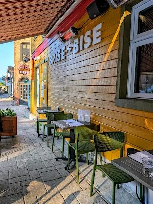
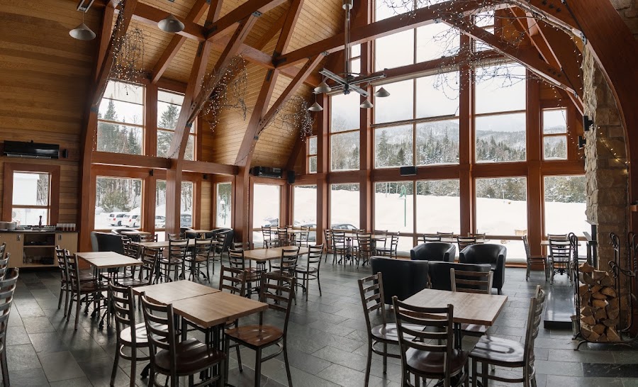
Where to Eat

Nearby and similar drives
Frequently asked questions
How long is the Gaspésie Loop drive?
The Gaspésie Loop covers 885 km from start to finish.
How long does the Gaspésie Loop take to drive?
Most travellers spend 6–7 days on the Gaspésie Loop, depending on stops and pace.
When is the best time to drive the Gaspésie Loop?
The recommended season for the Gaspésie Loop is Jun–Sep.
What are the main stops on the Gaspésie Loop?
The Gaspésie Loop passes through Sainte-Flavie, Matane, Sainte-Anne-des-Monts.
How difficult is the Gaspésie Loop to drive?
The Gaspésie Loop is rated easy and is best handled with any vehicle.
Can I drive the Gaspésie Loop in a regular car?
Yes — the Gaspésie Loop is paved end-to-end and a regular car is fine in normal conditions.
How many fuel stops are needed on the Gaspésie Loop?
Plan around 1 refuels (or about 3 EV charges) along the Gaspésie Loop, based on its 885 km length.
Is the Gaspésie Loop EV friendly?
Yes — the Gaspésie Loop has charger coverage along the route and works as an EV road trip.
Is the Gaspésie Loop safe to drive?
Route 132 is paved and straightforward, but coastal fog, heavy rain, and strong winter weather can make it slow and tiring outside summer. Fuel up in larger towns like Matane, Sainte-Anne-des-Monts, and Gaspé, since services thin out on long stretches, and check park access for any seasonal road or trail closures.
What scenic tier is the Gaspésie Loop?
The Gaspésie Loop is a iconic drive — Iconic road trips that anchor a region's reputation — postcard scenery, headline highways, and the routes most travellers want to drive.