Viking Trail
Canada
In short: Viking Trail is a 489 km historical road trip in Canada, typically driven over 4–5 days, best in Jun–Sep. Highlights: Deer Lake, Gros Morne National Park, Cow Head.
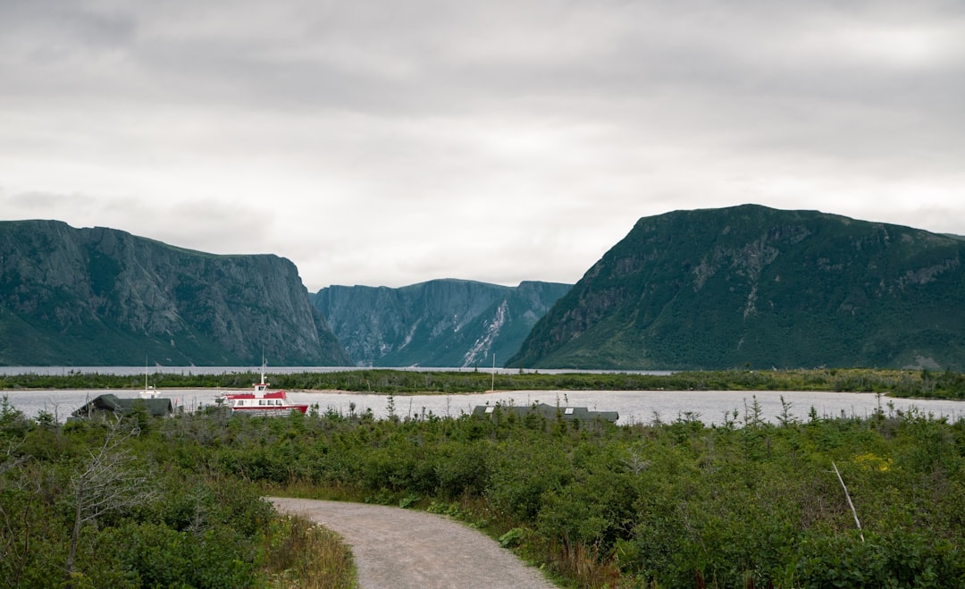
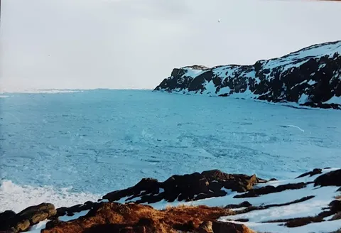
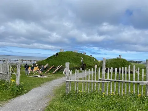
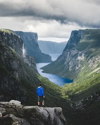
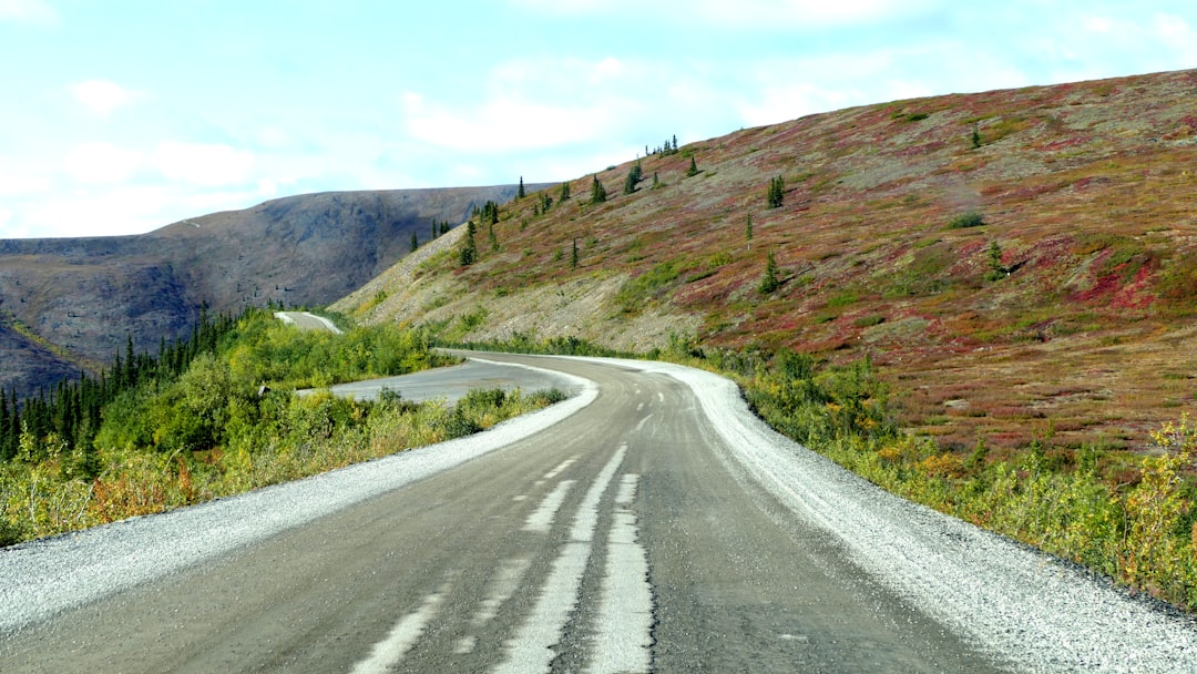
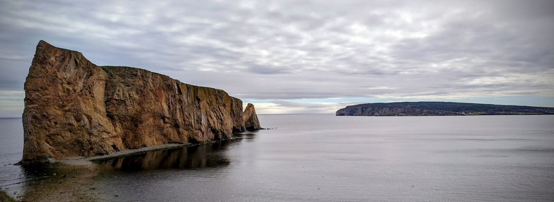
Tracing one of the most remote corners of Canada, the Viking Trail links 5000-year-old burial grounds, UNESCO fjords, and icebergs drifting past monumental sea stacks, ending at L'Anse aux Meadows, a Norse settlement established five centuries before Columbus.
Make this route yours
Set your dates, pace, and taste, and RoadAtlas AI rebuilds this trip day by day with real, verified places.
Included with Traveler and Explorer plans.
Plan this trip
Third-party planning links may be affiliate links. RoadAtlas stays independent, and you should verify details with the provider.
Day-by-day itinerary
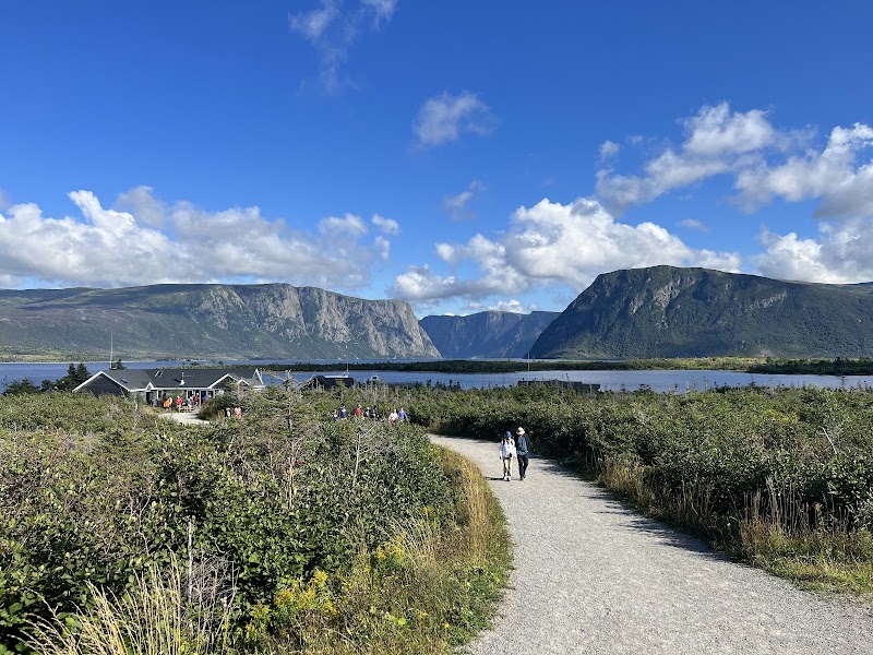
Day 1Western Brook Pond / north Gros Morne
Western Brook Pond Boat Tour · Western Brook Pond land fallback · Shallow Bay Motel Restaurant
Day 2Gros Morne Mountain or Tablelands / Woody Point
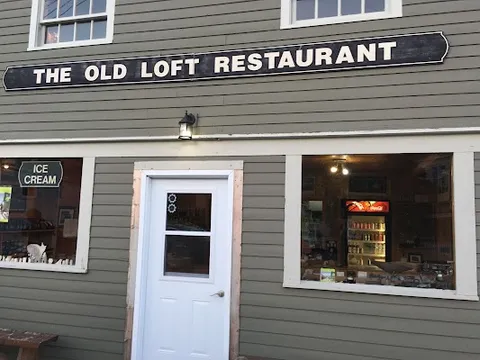
Gros Morne Mountain Trail · Tablelands Trail · The Old Loft Restaurant
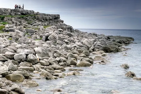
Day 3Cow Head / Port au Choix / St Barbe area
Cow Head Lighthouse · Port au Choix National Historic Site · Point Riche Restaurant
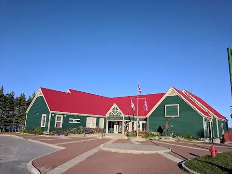
Day 4St Anthony / L'Anse aux Meadows area
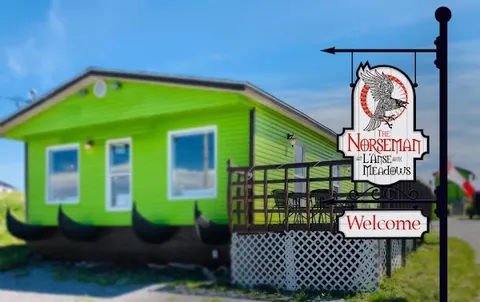
Grenfell Historic Properties · L'Anse aux Meadows National Historic Site · The Norseman Restaurant
Stops along the route


Things to Do


Show 1 more

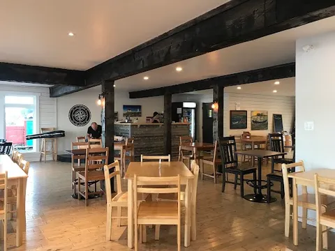
Where to Eat

Nearby and similar drives
Frequently asked questions
How long is the Viking Trail drive?
The Viking Trail covers 489 km from start to finish.
How long does the Viking Trail take to drive?
Most travellers spend 4–5 days on the Viking Trail, depending on stops and pace.
When is the best time to drive the Viking Trail?
The recommended season for the Viking Trail is Jun–Sep.
Where does the Viking Trail start and end?
The Viking Trail runs from Deer Lake to L'Anse aux Meadows.
What are the main stops on the Viking Trail?
The Viking Trail passes through Deer Lake, Gros Morne National Park, Cow Head.
How difficult is the Viking Trail to drive?
The Viking Trail is rated easy and is best handled with any vehicle.
Can I drive the Viking Trail in a regular car?
Yes — the Viking Trail is paved end-to-end and a regular car is fine in normal conditions.
How many fuel stops are needed on the Viking Trail?
Plan around 0 refuels (or about 1 EV charges) along the Viking Trail, based on its 489 km length.
Is the Viking Trail safe to drive?
The route is paved but fog, wind, rain, and long service gaps are common. Western Brook Pond requires advance booking and departures depend on wind and weather; reserve directly and keep a full-day land fallback. Reconfirm every seasonal restaurant and carry packed food on northern legs.
What scenic tier is the Viking Trail?
The Viking Trail is a iconic drive — Iconic road trips that anchor a region's reputation — postcard scenery, headline highways, and the routes most travellers want to drive.