The best road trips in Mexico run from Baja California Highway 1, 1,700 km of Pacific surf and grey-whale lagoons, to the 1,200 km Maya loop of the Yucatán and the silver cities of the colonial Bajío. These ten drives cover cactus deserts, Pacific surf towns, mezcal valleys, and jungle pyramids, and most of them are at their best in the cool, dry months from October to April.
That October to April window is why mid-September is a good time to start planning. The summer rains and heat ease across most of the country just as these routes hit their best months. The list is ranked, every distance and season comes straight from the route's catalog page, and each entry links to its full guide. For the wider country, browse the Mexico road trips hub, and for the cultural drives here, the Historic Road Trips collection.
The 10 best Mexico road trips at a glance
Distances, durations, and best-season windows come from each route's page. Several of these drives cross states with active travel advisories, so check the current guidance and drive intercity legs in daylight.
| # | Route | Region | Distance | Days | Best season |
|---|---|---|---|---|---|
| 1 | Baja California Highway 1 | Baja California | 1,700 km | 10 to 14 | October to April |
| 2 | Yucatán Peninsula Loop | Yucatán | 1,200 km | 9 to 10 | November to April |
| 3 | Oaxaca to the Pacific | Oaxaca | 650 km | 7 | November to May |
| 4 | Colonial Heartland | Bajío | 800 km | 5 to 7 | October to May |
| 5 | Riviera Nayarit and Sierra Madre | Nayarit | about 620 km | 6 | November to April |
| 6 | Valle de Guadalupe Wine Route | Baja California | 110 km | 3 | March to November |
| 7 | Sierra Gorda de Querétaro | Querétaro | about 520 km | 5 | October to April |
| 8 | Tequila and Jalisco Highlands | Jalisco | about 180 km | 2 to 3 | November to April |
| 9 | San Cristóbal to Palenque | Chiapas | about 360 km | 3 | November to April |
| 10 | Copper Canyon | Chihuahua | operator-set | 5 to 6 | April to June, September to November |
If you only do one
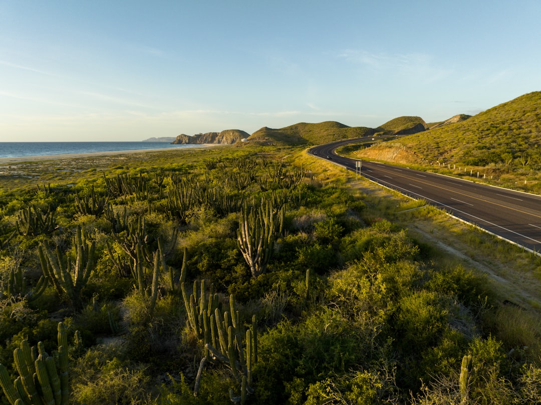
Drive Baja California Highway 1. In 1,700 km over 10 to 14 days it runs Tijuana to Ensenada to Guerrero Negro to Loreto to La Paz to Cabo San Lucas, so one paved road links Pacific surf, the grey-whale lagoons at Guerrero Negro and San Ignacio, giant cardón cacti, and the warm Sea of Cortez. It drives in a standard car, and the season runs October to April, after the summer heat breaks. Baja sits at Level 3 in the current U.S. advisory, so read the live guidance, keep to daylight, and carry Mexico-valid liability insurance and your entry papers before you set off.
1. Baja California Highway 1
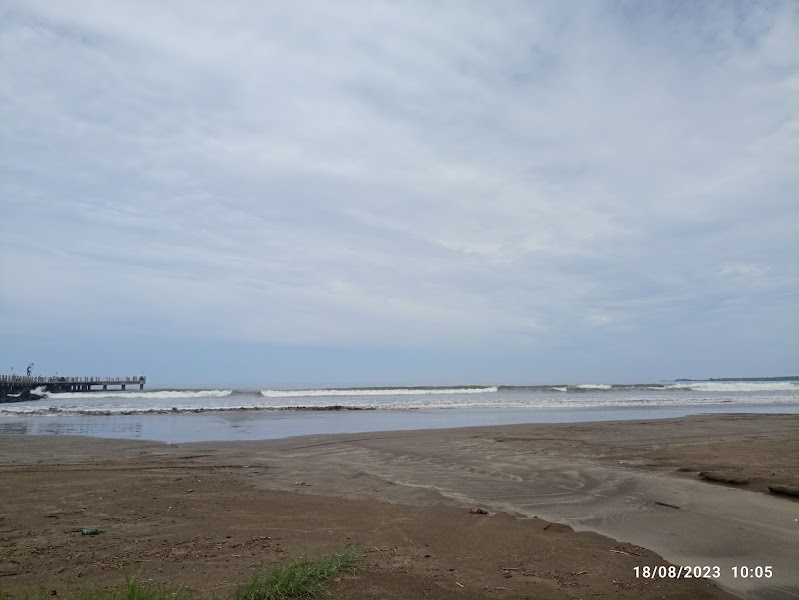
The Baja California Highway 1 run is the longest peninsula drive here, 1,700 km from Tijuana to Cabo San Lucas over 10 to 14 days. It crosses from the surf and vineyards near Ensenada to the salt lagoons of Guerrero Negro, where grey whales gather from roughly January to March, then the mission town of San Ignacio, Loreto on the Sea of Cortez, and La Paz before the Cabo beaches. The road is paved the whole way, but keep to daylight, avoid remote side roads unless locally cleared, and check the current Baja advisory before booking. October to April is the season.
2. Yucatán Peninsula Loop
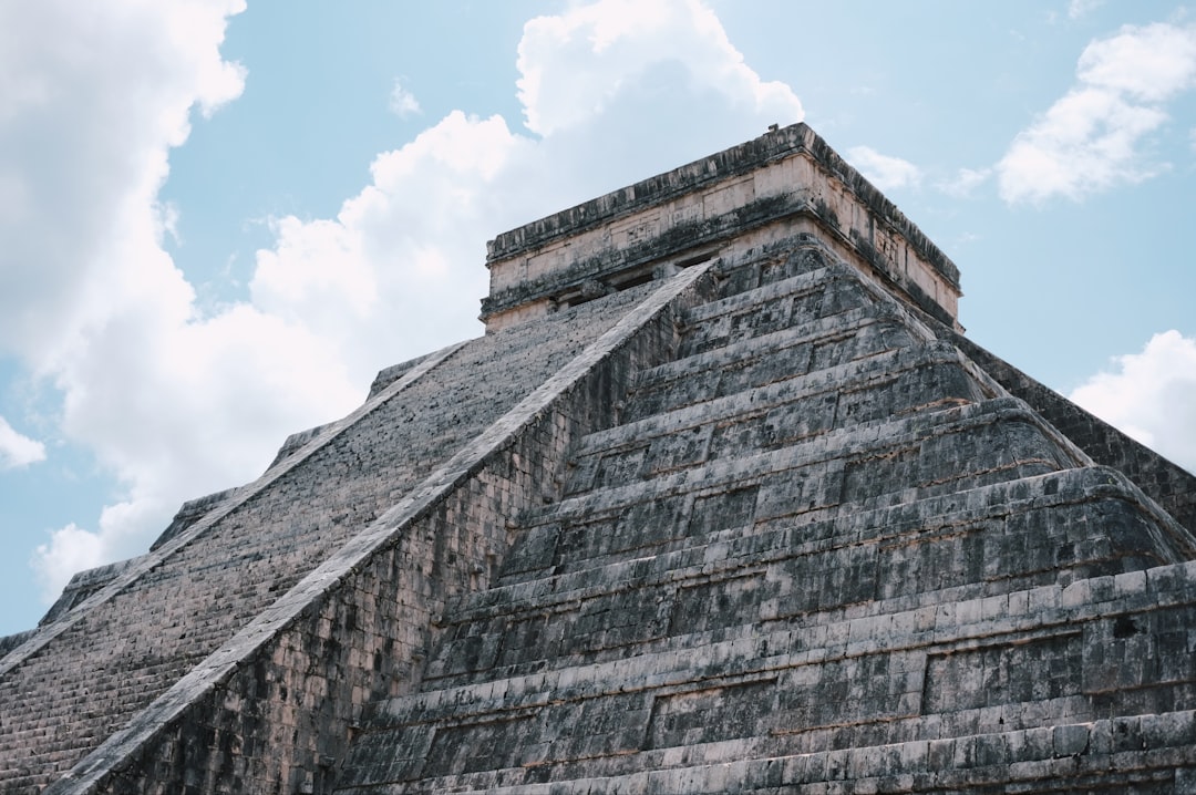
The Yucatán Peninsula Loop circles 1,200 km of Maya country from Mérida over 9 to 10 days, and it is the easiest big loop on this list to drive yourself. Flat, paved roads link the pyramids of Uxmal, walled Campeche, the ruins at Xpujil, the blue lagoon at Bacalar, clifftop Tulum, and Chichén Itzá, with cenotes to swim between the sites. Expect frequent topes and inspections, follow the posted cenote rules, and drive in daylight. The dry season runs November to April.
3. Oaxaca to the Pacific
Oaxaca to the Pacific drops 650 km from the highlands to the coast over seven days, and it carries some of the best eating on any Mexican road trip. From Oaxaca City it passes the Zapotec ruins at Mitla, the mezcal villages around Tlacolula, the pine-forest hamlet of San José del Pacífico, and the turtle beaches of Mazunte before the surf at Puerto Escondido. Highway 175 is the slow mountain crossing, so take it by day and confirm whether the newer toll corridor is open. Best months are November to May.
4. Mexico's Colonial Heartland
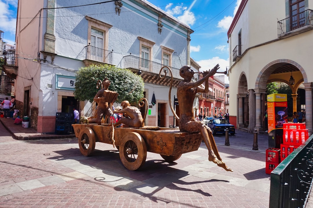
Mexico's Colonial Heartland links the silver cities of the Bajío in 800 km over five to seven days, an easy drive built around UNESCO-listed centres. From Mexico City it takes in the pyramids of Teotihuacán, then Querétaro, the painted alleys of Guanajuato, San Miguel de Allende, and lakeside Pátzcuaro near Morelia. Leave the car in secure parking outside the pedestrian old centres and use toll roads where advised. The comfortable season is October to May.
5. Riviera Nayarit and Sierra Madre Coast
The Riviera Nayarit loop runs about 620 km from Puerto Vallarta up the Nayarit coast and back through the Sierra Madre foothills over six days. It strings together the surf town of Sayulita, the quiet beaches of San Pancho and Lo de Marcos, the mangrove boat trips at San Blas, and a cooler inland finish around Compostela and the Ceboruco volcano. Nayarit sits at Level 2, so drive the intercity legs by day and visit the Marietas Islands only through a CONANP-permitted operator. Season is November to April.
6. Valle de Guadalupe Wine Route
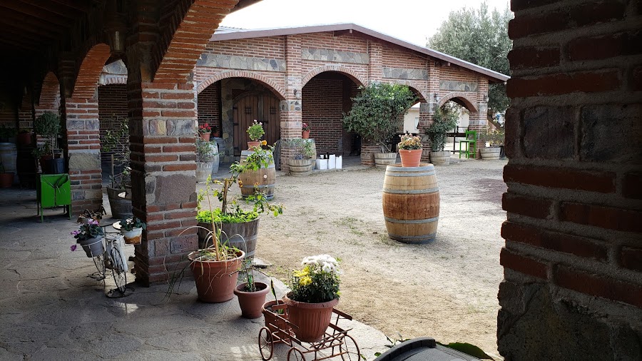
The Valle de Guadalupe Wine Route is a short 110 km loop from Ensenada into Baja's wine country, three days of tasting rooms and farm-to-table lunches among olive groves. Estates like Monte Xanic and Bruma sit on dusty ranch roads, so use a hired driver or a tasting tour and plan two or three geographically grouped wineries a day rather than a long list. Reserve lunches and dinners ahead. It drives well from March to November, later in the year than the rest of the peninsula.
7. Sierra Gorda de Querétaro
The Sierra Gorda de Querétaro circuit covers about 520 km of cloud-forest mountains over five days, built around five 18th-century Franciscan missions. From Jalpan it reaches the mission churches at Landa and Concá, the viewpoints above Pinal de Amoles, the river pools at Puente de Dios, and the vast Sótano del Barro sinkhole, which needs a community guide and an early start. Fog and landslides slow the roads, so drive by day and carry fuel, water, and offline maps. October to April is the window.
8. Tequila and Jalisco Highlands
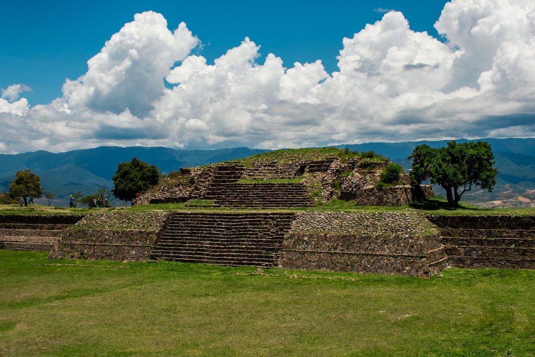
The Tequila and agave route keeps things tight, about 180 km over two days through the blue-agave fields west of Guadalajara. It runs from Tlaquepaque to the distillery town of Tequila and the fields around Amatitán and El Arenal, with the Guachimontones pyramids at Teuchitlán as a third-day add-on. Use the Tequila train, a licensed tour, or a sober hired driver for tasting days, and reserve each distillery in advance. Best months are November to April.
9. San Cristóbal to Palenque, Chiapas
The Chiapas highlands route connects San Cristóbal de las Casas to the jungle ruins of Palenque in about 360 km over three days, by way of the Sumidero Canyon and the Agua Azul waterfalls. Chiapas is at Level 3, Reconsider Travel, so plan this one as an operator-led trip rather than an independent self-drive. Use a reputable local operator, get same-day route and community-access advice, and never bypass roadblocks. Go in the November to April dry season.
10. Copper Canyon
Copper Canyon drops from Chihuahua through Creel and Divisadero to Batopilas, a canyon system deeper than the Grand Canyon, over five to six days. Current advice for Chihuahua makes an independent self-drive inappropriate, so the plan leans on a vetted operator or the El Chepe railway, day travel only, and Rarámuri community guidance. It runs in the shoulder months, September to November and again April to June.
Frequently asked questions
What is the best road trip in Mexico?
Baja California Highway 1. It runs 1,700 km down the peninsula from Tijuana to Cabo San Lucas, past Pacific surf, grey-whale lagoons, and the Sea of Cortez, all on paved road you can drive yourself. Check the current Baja travel advisory before booking.
When is the best time for a road trip in Mexico?
October to April. The cool, dry months follow the summer rains, so most routes here, from Baja to the Yucatán and the colonial highlands, are at their best. Valle de Guadalupe is the exception, running best from March to November.
Is it safe to drive in Mexico?
It depends on the state and the route. Drive intercity legs in daylight, carry Mexico-valid liability insurance and your entry papers, and check the U.S. State Department advisory for each state before you go. A few routes here, including Copper Canyon and Chiapas, are best done with a vetted local operator rather than an independent self-drive.
Which Mexico road trip is best for first-timers?
The Yucatán Peninsula Loop. Its roads are flat, paved, and easy, and the Maya sites, cenotes, and Caribbean towns sit close together. Mexico's Colonial Heartland is a second easy option, with short hops between walkable cities.
Do you need a 4x4 for a Mexico road trip?
Not for most of them. Baja Highway 1, the Yucatán loop, and the colonial cities all drive in a standard car. Copper Canyon calls for an SUV or an operator, and the winery roads in Valle de Guadalupe are rough enough that a hired driver makes sense.
Ready to map a Mexican winter escape? Start with the full Baja California Highway 1 guide, then open the interactive map to line these drives up against your own dates.