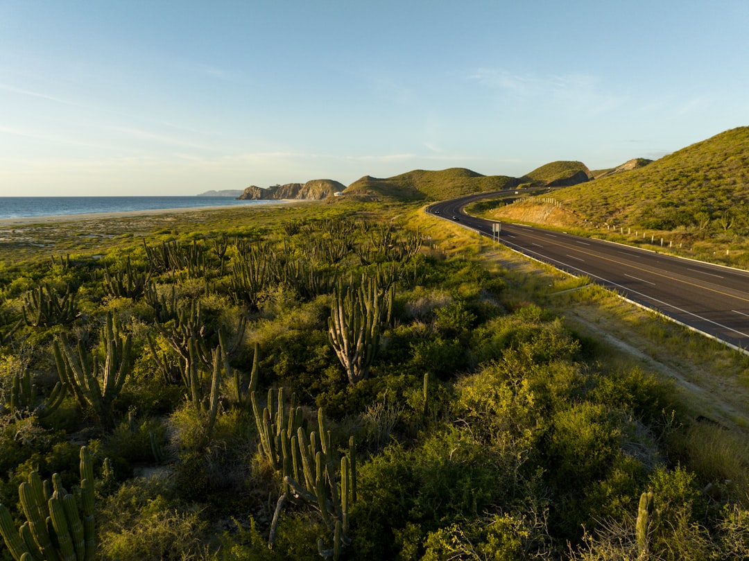
Baja California Highway 1
Mexico
In short: Baja California Highway 1 is a 1,700 km adventure road trip in Mexico, typically driven over 10–14 days, best in October – April. Highlights: Tijuana, Ensenada, San Quintín.
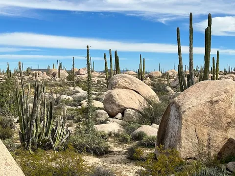
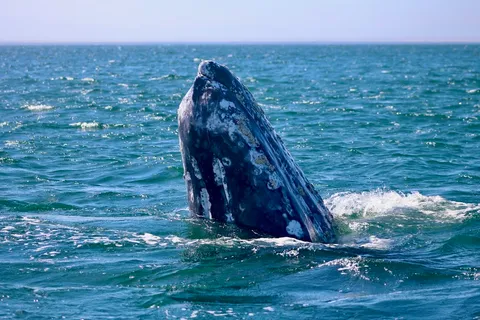
The world's longest peninsula drive, Highway 1 traces 1,700 km of Pacific surf, Sea of Cortez lagoons, giant cardón cacti, and grey whale sanctuaries from Tijuana all the way to Cabo San Lucas.
Make this route yours
Set your dates, pace, and taste, and RoadAtlas AI rebuilds this trip day by day with real, verified places.
Included with Traveler and Explorer plans.
Plan this trip
Third-party planning links may be affiliate links. RoadAtlas stays independent, and you should verify details with the provider.
Day-by-day itinerary
Day 1Tijuana / Playas de Tijuana
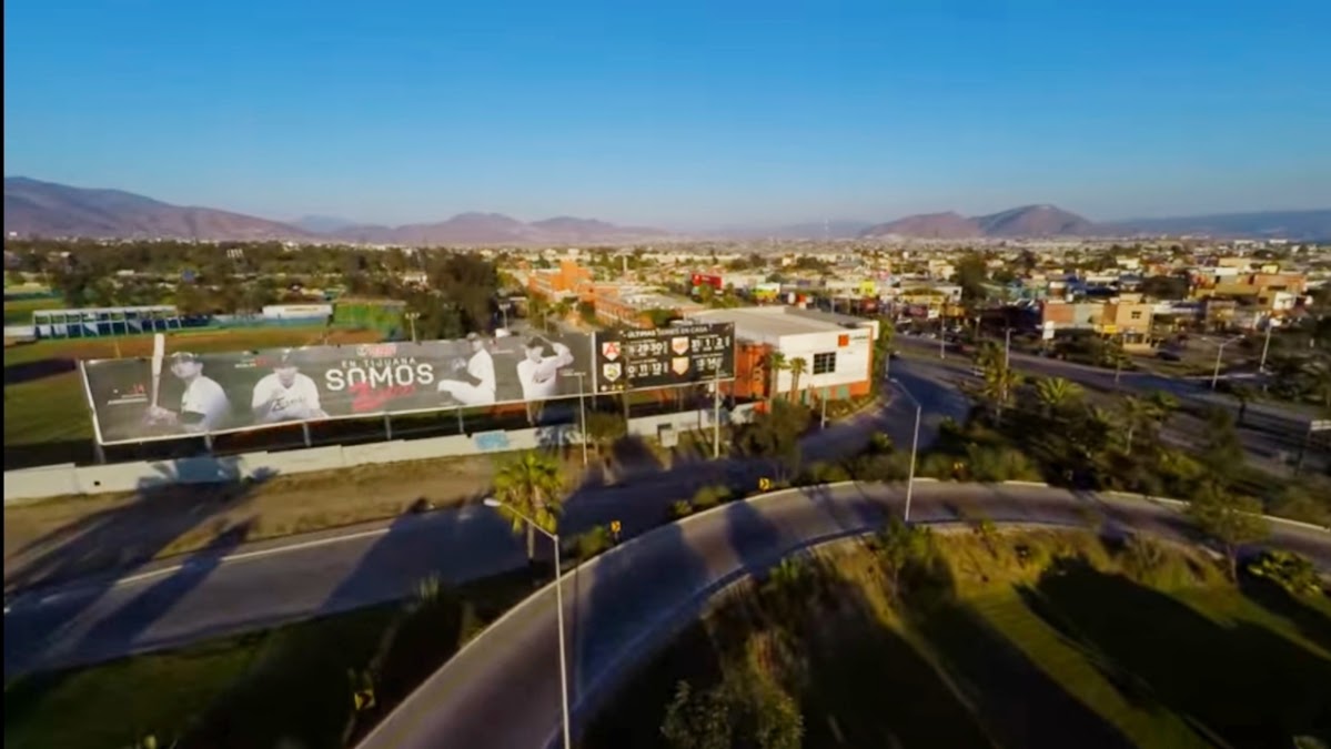
Playas de Tijuana Malecon · Tijuana Cultural Center (CECUT) · Tacos El Franc
Day 2Ensenada / Valle de Guadalupe
La Bufadora · Valle de Guadalupe Wine Route · Manzanilla
Day 3San Quintín / Cataviña
Punta Mazo Ecological Reserve · Cataviña Boulder Fields · San Quintín departure meal
Day 4Optional Bahía de los Ángeles side trip
Bahía de los Ángeles Boardwalk · Museo de Naturaleza y Cultura · El Mesquite
Day 5Guerrero Negro and Laguna Ojo de Liebre
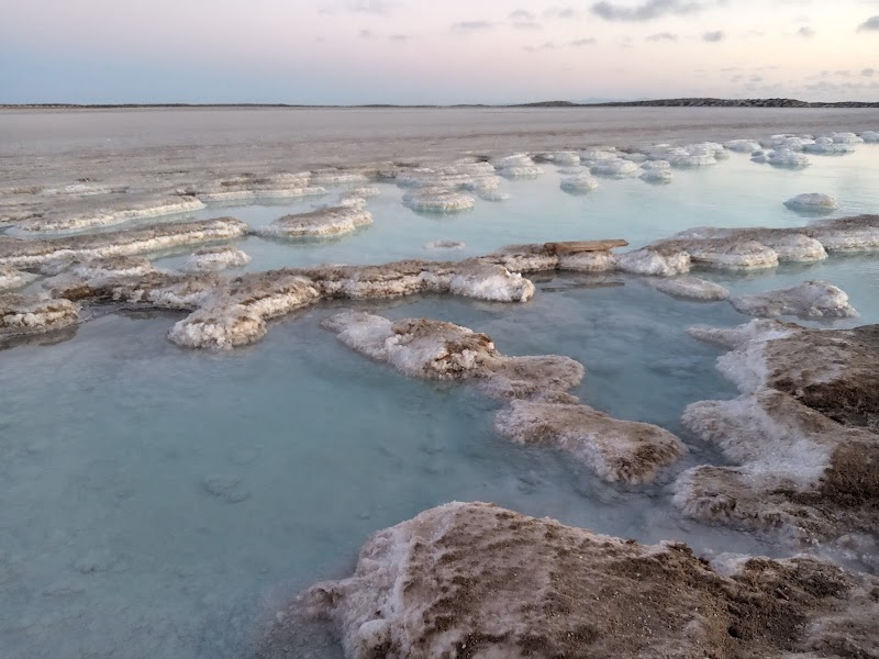
Laguna Ojo de Liebre whale tour · Guerrero Negro saltworks viewpoint · Malarrimo
Day 6San Ignacio, Santa Rosalía, and Mulegé
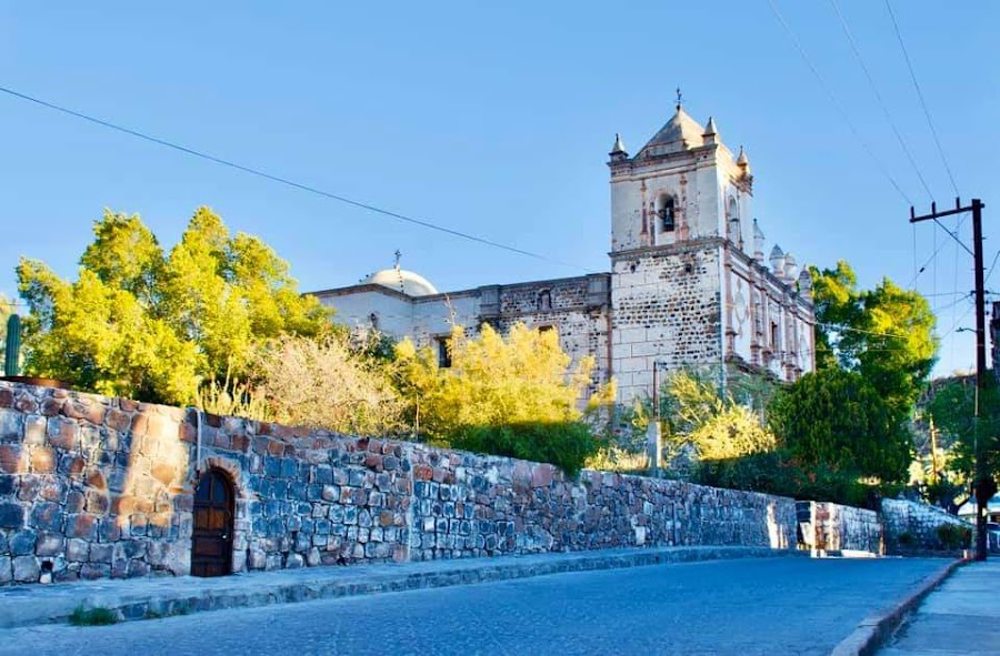
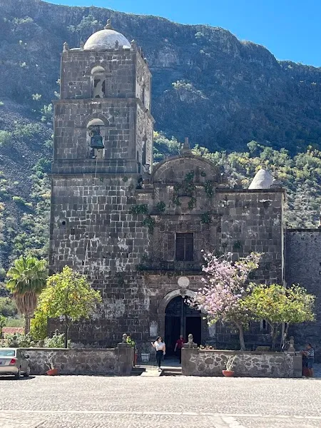
Mulegé Mission · San Ignacio Mission and plaza · Marios Restaurant
Day 7Loreto and Misión San Javier
Misión San Francisco Javier de Viggé-Biaundó · Malecón de Loreto · Orlando's
Day 8Ciudad Constitución / La Paz
Malecón de La Paz · Rancho Viejo
Day 9La Paz and Playa Balandra
Playa Balandra · La Paz waterfront evening · Bismark-cito
Day 10La Paz to Cabo San Lucas
Todos Santos Historic Center · Land’s End (El Arco de Cabo San Lucas) · The Office on the Beach
Stops along the route
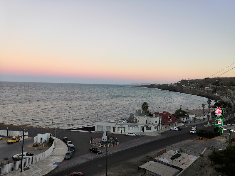
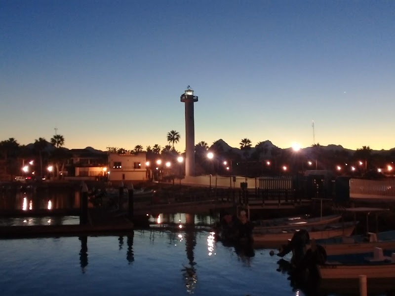
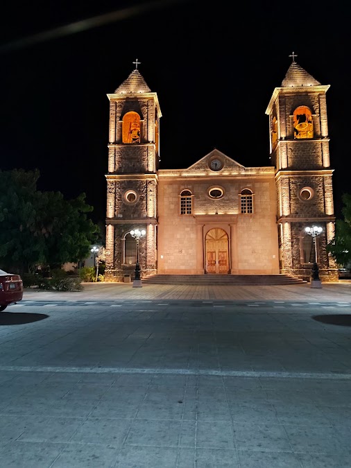
Show 1 more
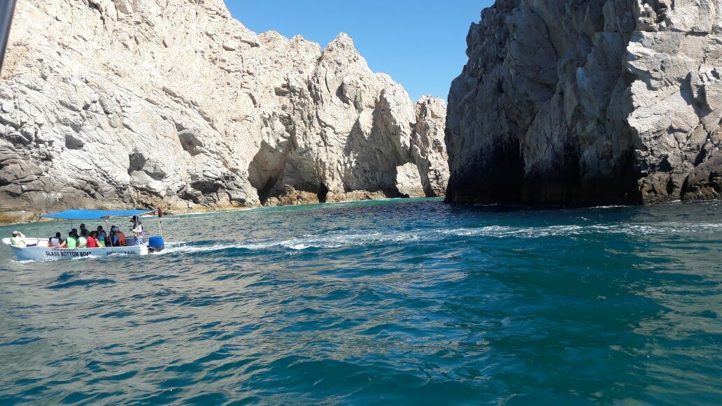
Things to Do
Where to Eat


Nearby and similar drives
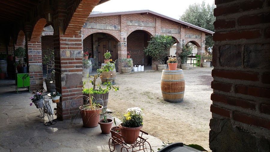
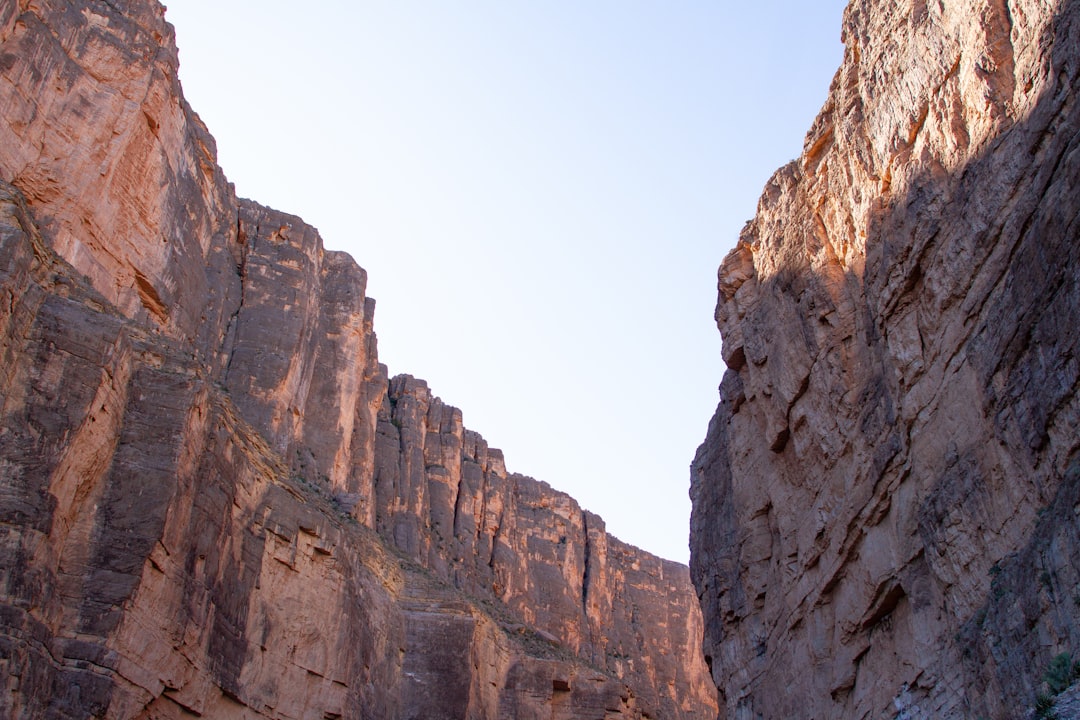
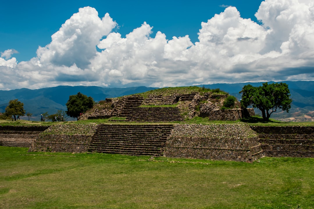
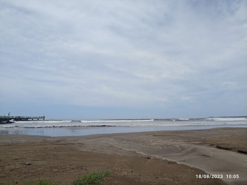
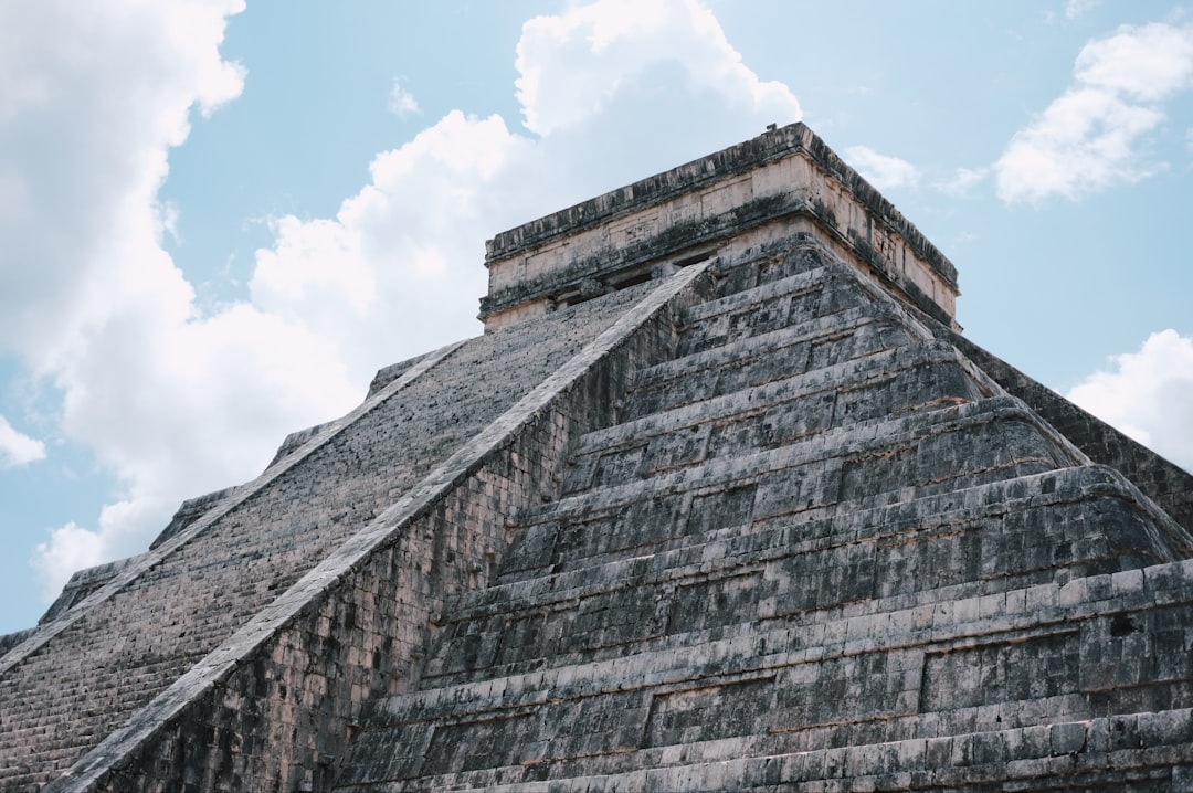
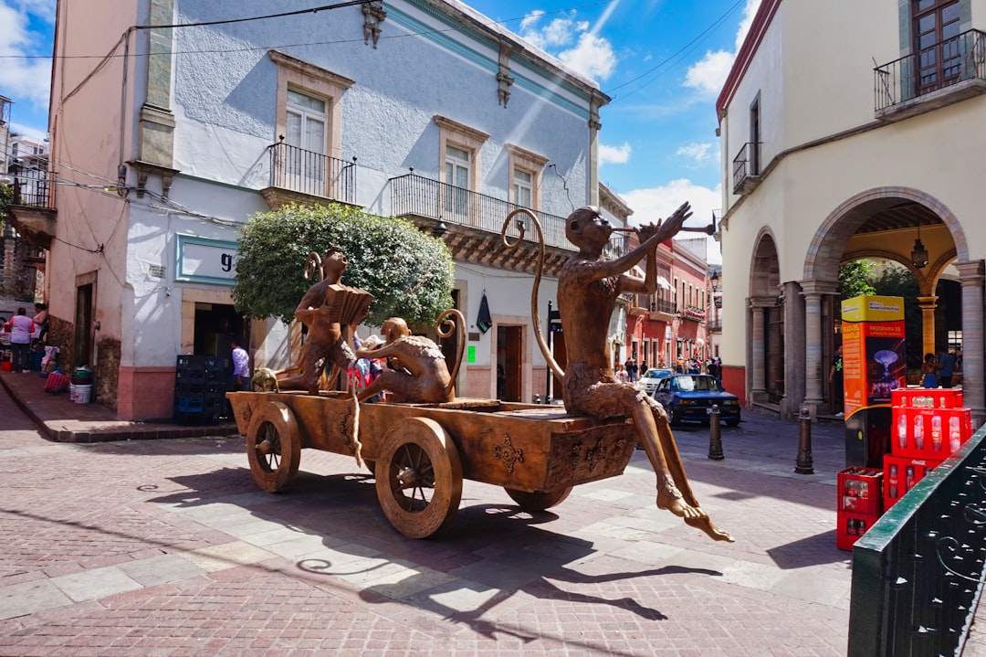
Frequently asked questions
How long is the Baja California Highway 1 drive?
The Baja California Highway 1 covers 1,700 km from start to finish.
How long does the Baja California Highway 1 take to drive?
Most travellers spend 10–14 days on the Baja California Highway 1, depending on stops and pace.
When is the best time to drive the Baja California Highway 1?
The recommended season for the Baja California Highway 1 is October – April.
Where does the Baja California Highway 1 start and end?
The Baja California Highway 1 runs from Tijuana to Cabo San Lucas.
What are the main stops on the Baja California Highway 1?
The Baja California Highway 1 passes through Tijuana, Ensenada, San Quintín.
How difficult is the Baja California Highway 1 to drive?
The Baja California Highway 1 is rated moderate and is best handled with any vehicle.
Can I drive the Baja California Highway 1 in a regular car?
Yes — the Baja California Highway 1 is paved end-to-end and a regular car is fine in normal conditions.
Do I need a permit or border paperwork for the Baja California Highway 1?
Yes — the Baja California Highway 1 requires permits, fees, or border paperwork. Plan ahead: Check current official Mexico and state-specific travel advisories immediately before booking. Carry passports, FMM entry records as required, registration, and Mexico-valid liability insurance; Baja normally does not require a TVIP unless continuing by ferry to mainland Mexico. Drive only in daylight, avoid remote side roads unless locally cleared, cooperate calmly at official checkpoints, and carry fuel, water, offline maps, food, and a roadside kit.
How many fuel stops are needed on the Baja California Highway 1?
Plan around 3 refuels (or about 6 EV charges) along the Baja California Highway 1, based on its 1,700 km length.
Is the Baja California Highway 1 safe to drive?
Check current official Mexico and state-specific travel advisories immediately before booking. Carry passports, FMM entry records as required, registration, and Mexico-valid liability insurance; Baja normally does not require a TVIP unless continuing by ferry to mainland Mexico. Drive only in daylight, avoid remote side roads unless locally cleared, cooperate calmly at official checkpoints, and carry fuel, water, offline maps, food, and a roadside kit.
What scenic tier is the Baja California Highway 1?
The Baja California Highway 1 is a legendary drive — The world's most extraordinary drives — once-in-a-lifetime road trips with cinematic scenery, legendary roads, and unmatched cultural depth.