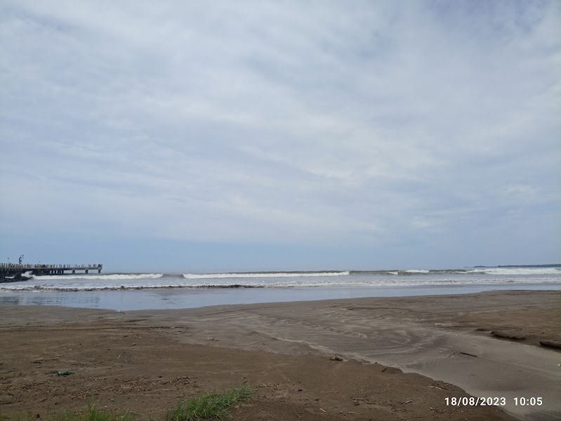
Riviera Nayarit and Sierra Madre Coast
Mexico
In short: Riviera Nayarit and Sierra Madre Coast is a 320 km scenic road trip in Mexico, typically driven over 5-7 days, best in November-April. Highlights: Puerto Vallarta, Bucerías, Sayulita.
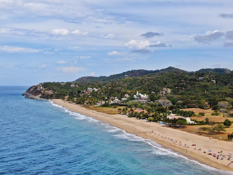
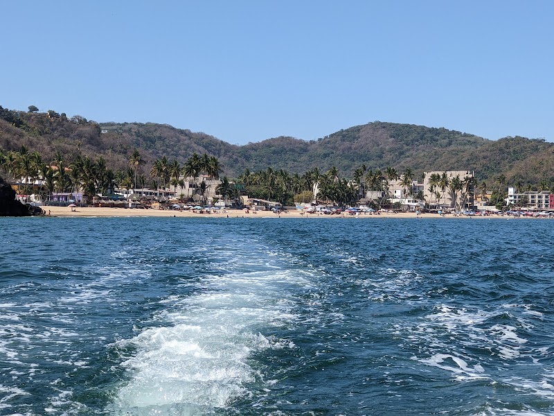
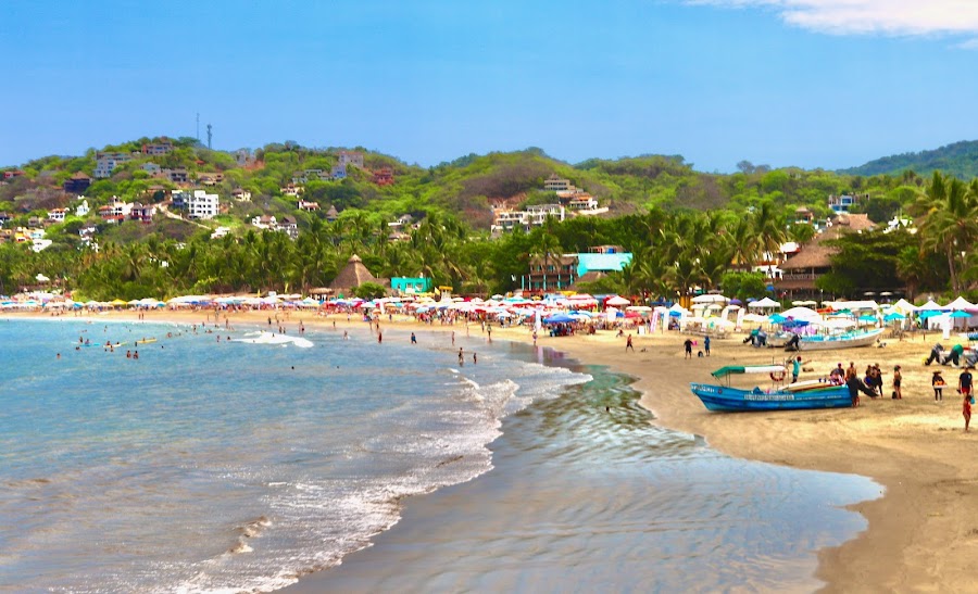
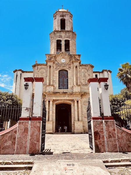
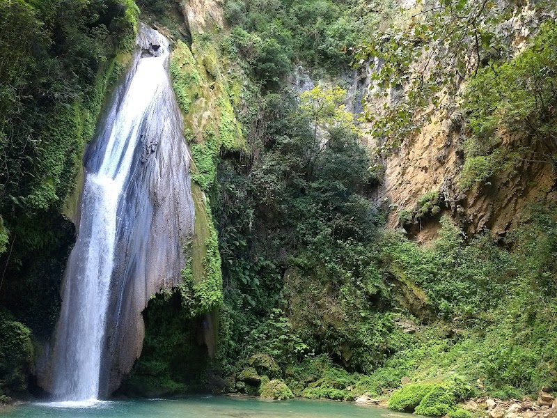
This Riviera Nayarit road trip links Puerto Vallarta with the Pacific beaches and jungle-backed fishing towns of Nayarit, then climbs into the Sierra Madre for a cooler inland finish. Expect whale-watching bays, surf breaks, cobbled village streets, and dramatic ocean-to-mountain scenery throughout.
Plan this trip
Third-party planning links may be affiliate links. RoadAtlas stays independent, and you should verify details with the provider.
Stops along the route



Things to Do


Where to Eat




Explore related routes
Nearby and similar drives

Frequently asked questions
How long is the Riviera Nayarit and Sierra Madre Coast drive?
The Riviera Nayarit and Sierra Madre Coast covers 320 km from start to finish.
How long does the Riviera Nayarit and Sierra Madre Coast take to drive?
Most travellers spend 5-7 days on the Riviera Nayarit and Sierra Madre Coast, depending on stops and pace.
When is the best time to drive the Riviera Nayarit and Sierra Madre Coast?
The recommended season for the Riviera Nayarit and Sierra Madre Coast is November-April.
What are the main stops on the Riviera Nayarit and Sierra Madre Coast?
The Riviera Nayarit and Sierra Madre Coast passes through Puerto Vallarta, Bucerías, Sayulita.
Can I drive the Riviera Nayarit and Sierra Madre Coast in a regular car?
Yes — the Riviera Nayarit and Sierra Madre Coast is paved end-to-end and a regular car is fine in normal conditions.
How many fuel stops are needed on the Riviera Nayarit and Sierra Madre Coast?
Plan around 0 refuels (or about 1 EV charges) along the Riviera Nayarit and Sierra Madre Coast, based on its 320 km length.
Is the Riviera Nayarit and Sierra Madre Coast safe to drive?
The coast road is straightforward, but some beach towns have limited parking and slower traffic in holiday periods. If you detour into the Sierra Madre, expect steep, narrow mountain roads and occasional rain-season washouts; drive daytime only and keep fuel topped up.
What scenic tier is the Riviera Nayarit and Sierra Madre Coast?
The Riviera Nayarit and Sierra Madre Coast is a notable drive — Notable scenic drives — strong character routes that locals know well and that reward travellers willing to step beyond the most-photographed roads.