Cuba Central Highway
Cuba
In short: Cuba Central Highway is a 870 km cultural road trip in Cuba, typically driven over 9–12 days, best in Nov–Apr. Highlights: Havana, Matanzas, Santa Clara.
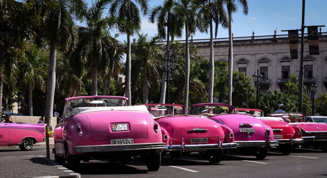
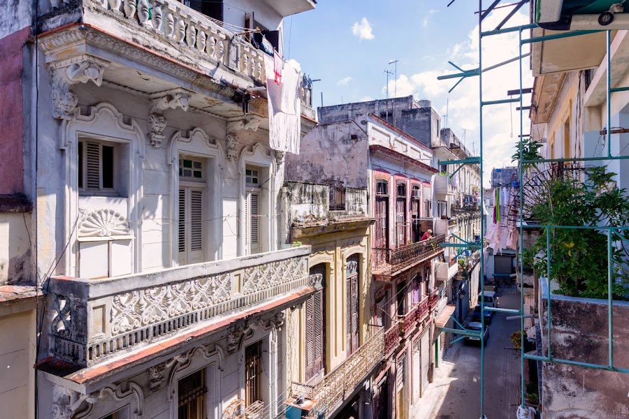
La Carretera Central runs across the spine of Cuba through colonial cities, tobacco country, and vintage American cars from Havana to Santiago, a rolling time capsule of music, rum, and revolutionary history.
Make this route yours
Set your dates, pace, and taste, and RoadAtlas AI rebuilds this trip day by day with real, verified places.
Included with Traveler and Explorer plans.
Plan this trip
Third-party planning links may be affiliate links. RoadAtlas stays independent, and you should verify details with the provider.
Day-by-day itinerary
Day 1Havana
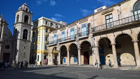
Old Havana walking loop · Malecón at sunset · La Guarida
Day 2Havana to Matanzas
Museo Nacional de Bellas Artes · Plaza de la Vigía · Host-arranged Matanzas casa dinner
Day 3Matanzas to Santa Clara and Cienfuegos
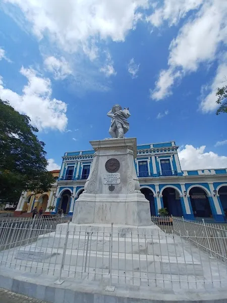
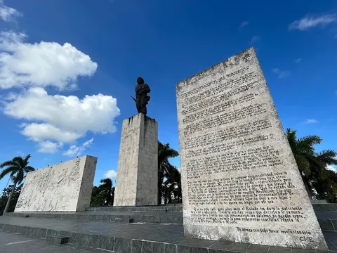
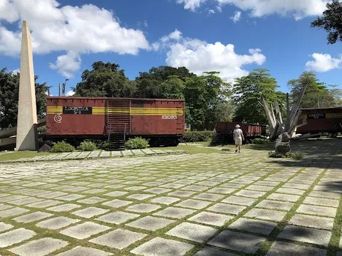
Che Guevara Mausoleum and Tren Blindado · Parque José Martí · La Casona Jover
Day 4Cienfuegos to Trinidad
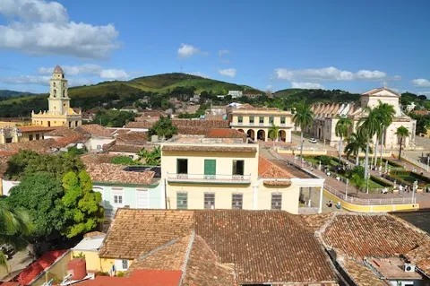
Punta Gorda waterfront · Plaza Mayor · Paladar Sol y Son
Day 5Trinidad
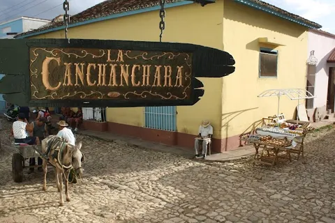
Museo de Historia Municipal · Casa de la Música · La Canchánchara
Day 6Trinidad to Camagüey via Sancti Spíritus and Ciego de Ávila
Sancti Spíritus historic center · Host-confirmed route meal
Day 7Camagüey
Camagüey historic-center walk · Plaza del Carmen · Casa Austria
Day 8Camagüey to Bayamo via Las Tunas
Parque Céspedes and Bayamo center · Host-arranged Bayamo casa dinner
Day 9Bayamo to Santiago de Cuba
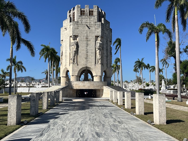
Cementerio Santa Ifigenia · Parque Céspedes · Host-confirmed Santiago paladar
Day 10Santiago de Cuba
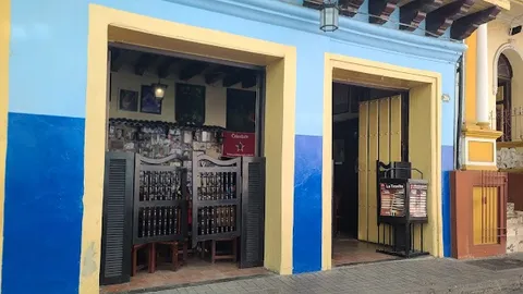
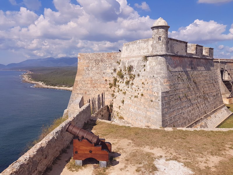
Castillo del Morro · Casa de la Trova · Host-arranged Santiago casa dinner
Stops along the route
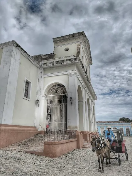
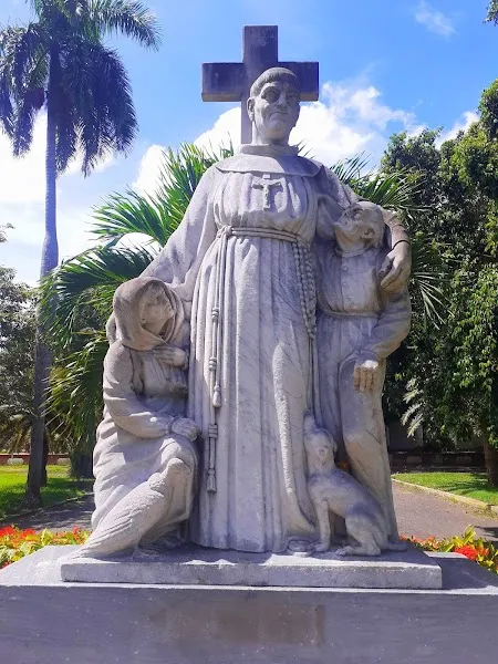
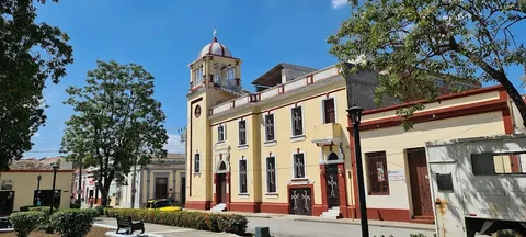
Show 1 more
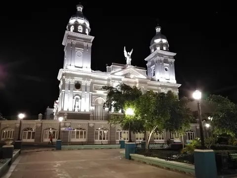
Things to Do
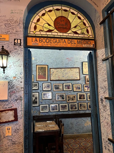
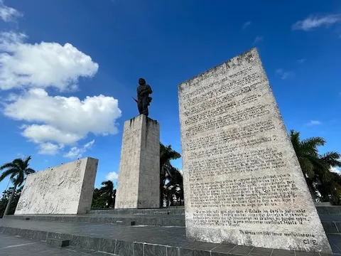
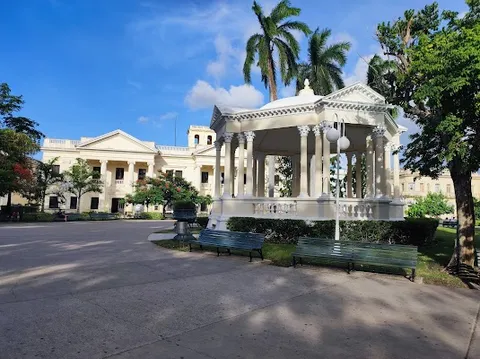
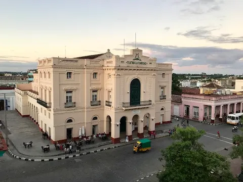
Show 3 more
Where to Eat
Nearby and similar drives
Frequently asked questions
How long is the Cuba Central Highway drive?
The Cuba Central Highway covers 870 km from start to finish.
How long does the Cuba Central Highway take to drive?
Most travellers spend 9–12 days on the Cuba Central Highway, depending on stops and pace.
When is the best time to drive the Cuba Central Highway?
The recommended season for the Cuba Central Highway is Nov–Apr.
Where does the Cuba Central Highway start and end?
The Cuba Central Highway runs from Havana to Santiago de Cuba.
What are the main stops on the Cuba Central Highway?
The Cuba Central Highway passes through Havana, Matanzas, Santa Clara.
How difficult is the Cuba Central Highway to drive?
The Cuba Central Highway is rated moderate and is best handled with any vehicle.
Can I drive the Cuba Central Highway in a regular car?
Yes — the Cuba Central Highway is paved end-to-end and a regular car is fine in normal conditions.
How many fuel stops are needed on the Cuba Central Highway?
Plan around 1 refuels (or about 3 EV charges) along the Cuba Central Highway, based on its 870 km length.
Is the Cuba Central Highway safe to drive?
Road surfaces vary widely, with potholes and poorly lit stretches common outside Havana; drive only in daylight. Cuba faces acute nationwide fuel, food, power, and cash shortages that can change a trip at short notice. Confirm fuel and each named restaurant with your casa host in the same week, keep a full tank plus reserve when supplies permit, carry water and snacks, and use a host-arranged casa meal whenever a paladar cannot confirm service. Foreign visitors must use an authorized rental vehicle. If you suspect deliberately caused tire trouble on a remote stretch, continue to the nearest populated place before stopping.
What scenic tier is the Cuba Central Highway?
The Cuba Central Highway is a notable drive — Notable scenic drives — strong character routes that locals know well and that reward travellers willing to step beyond the most-photographed roads.