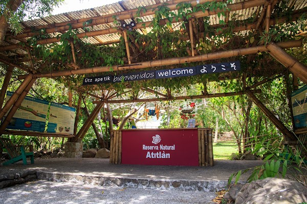
Guatemala Highlands
Guatemala
In short: Guatemala Highlands is a 260 km cultural road trip in Guatemala, typically driven over 5 days, best in November to April. Highlights: Guatemala City, Antigua Guatemala, Iximche Archaeological Site.
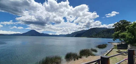
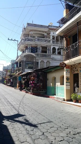
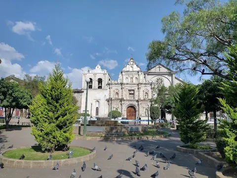
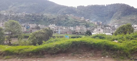
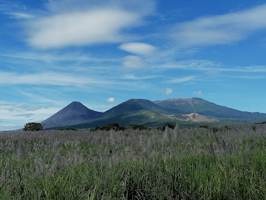
This highland circuit links Guatemala City with Antigua, Lake Atitlán, and the colonial-and-indigenous heartland around Quetzaltenango. Expect volcanic scenery, market towns, cool mountain air, and long stretches of winding pavement that reward slow travel with lake views, textile villages, and dramatic Pacific-facing ridges.
Make this route yours
Set your dates, pace, and taste, and RoadAtlas AI rebuilds this trip day by day with real, verified places.
Included with Traveler and Explorer plans.
Plan this trip
Third-party planning links may be affiliate links. RoadAtlas stays independent, and you should verify details with the provider.
Day-by-day itinerary
Day 1Guatemala City to Antigua
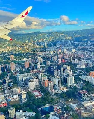
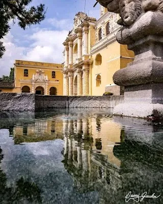
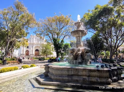
Antigua historic-center walk · Cerro de la Cruz · Café Sky
Day 2Antigua to Panajachel via Iximché and Chichicastenango
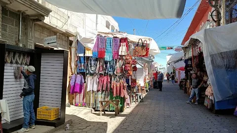
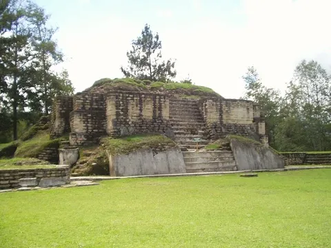
Iximché archaeological site · Chichicastenango market or quiet-town visit · Doña Pancha
Day 3Lake Atitlán boat day from Panajachel
San Juan La Laguna textile cooperatives · Santiago Atitlán cultural walk · El Artesano
Day 4Panajachel to Quetzaltenango
Quetzaltenango central park · Tertulianos
Day 5Zunil and Fuentes Georginas from Quetzaltenango
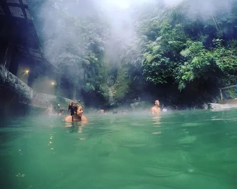
Fuentes Georginas hot springs · Zunil town stop · Sabor de la Casa
Stops along the route
Show 1 more
Things to Do
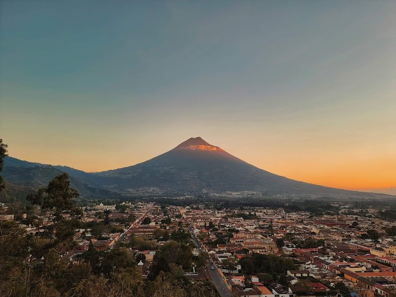
Show 3 more

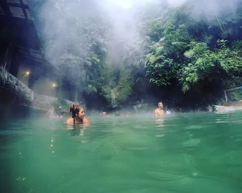
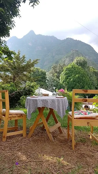
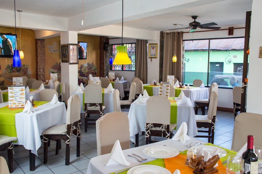
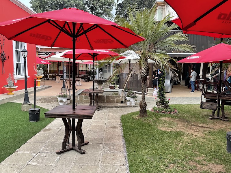
Where to Eat
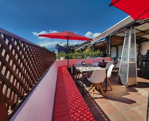

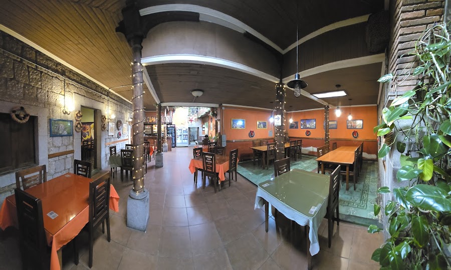

Show 1 more
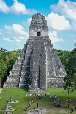
Nearby and similar drives
Frequently asked questions
How long is the Guatemala Highlands drive?
The Guatemala Highlands covers 260 km from start to finish.
How long does the Guatemala Highlands take to drive?
Most travellers spend 5 days on the Guatemala Highlands, depending on stops and pace.
When is the best time to drive the Guatemala Highlands?
The recommended season for the Guatemala Highlands is November to April.
Where does the Guatemala Highlands start and end?
The Guatemala Highlands runs from Guatemala City to Zunil.
What are the main stops on the Guatemala Highlands?
The Guatemala Highlands passes through Guatemala City, Antigua Guatemala, Iximche Archaeological Site.
How difficult is the Guatemala Highlands to drive?
The Guatemala Highlands is rated moderate and is best handled with any vehicle.
Can I drive the Guatemala Highlands in a regular car?
Yes — the Guatemala Highlands is paved end-to-end and a regular car is fine in normal conditions.
Is the Guatemala Highlands safe to drive?
Mountain roads are steep, winding, and slow in rain or fog; drive only by day and expect topes, buses, and wet-season landslides. Park in Panajachel and visit San Juan La Laguna and Santiago Atitlán by public lancha, returning to the car the same day; there is no practical through-road around the lake. Chichicastenango’s full market is Thursday and Sunday: anchor that day accordingly, or visit Santo Tomás Church and the quieter town on other days. Check Guatemala’s current security advisory, keep valuables hidden, and use a taxi or tuk-tuk for isolated viewpoints.
What scenic tier is the Guatemala Highlands?
The Guatemala Highlands is a iconic drive — Iconic road trips that anchor a region's reputation — postcard scenery, headline highways, and the routes most travellers want to drive.