
Belize Coast and Maya Ruins Loop
Belize
In short: Belize Coast and Maya Ruins Loop is a 420 km cultural road trip in Belize, typically driven over 6 days, best in November to April. Highlights: Belize City, Altun Ha, Dangriga.
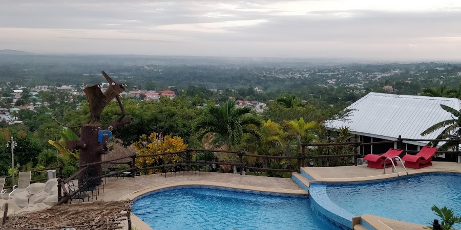
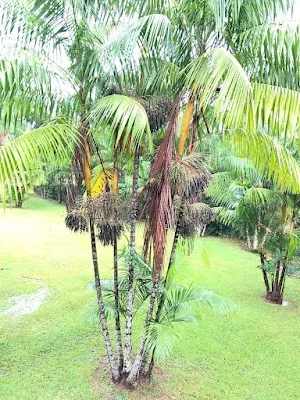
This loop begins in Belize City and follows the coast and inland highways through the country’s most rewarding mix of Caribbean shoreline, ancient Maya sites, and laid-back towns. Expect easy driving, jungle views, and stops at Altun Ha, Dangriga, Hopkins, and the impressive stone temples of Xunantunich before returning north.
Make this route yours
Set your dates, pace, and taste, and RoadAtlas AI rebuilds this trip day by day with real, verified places.
Included with Traveler and Explorer plans.
Plan this trip
Third-party planning links may be affiliate links. RoadAtlas stays independent, and you should verify details with the provider.
Day-by-day itinerary
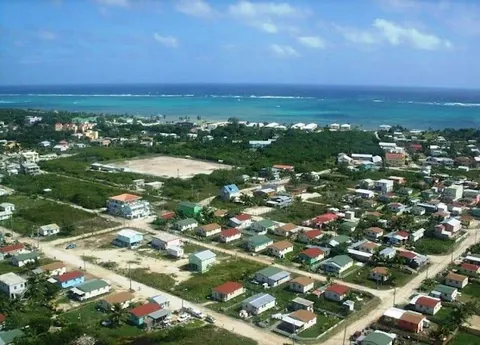
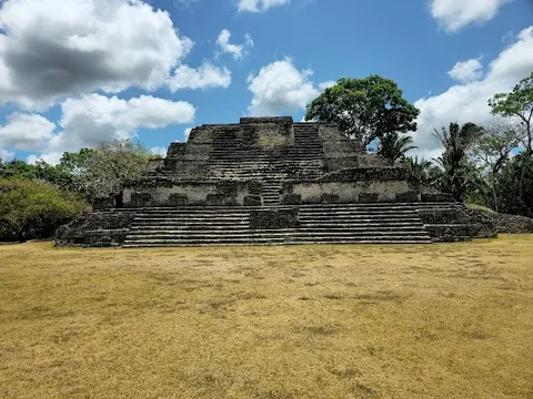
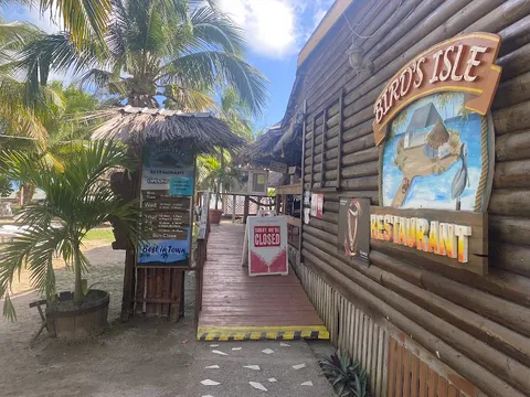
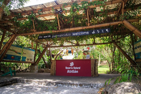
Day 1Belize City and Altun Ha
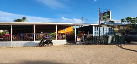
Altun Ha Archaeological Reserve · Belize City waterfront · Bird's Isle Restaurant
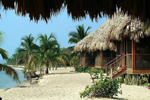
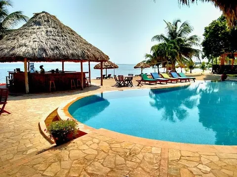
Day 2Belize City to Dangriga and Hopkins
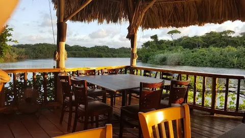
Garifuna cultural visit · Hopkins beach sunset · Hibiscus Restaurant
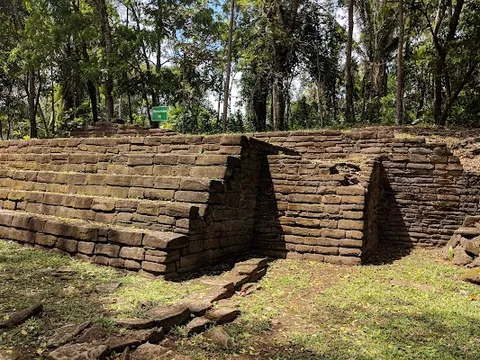
Day 3Hopkins to Punta Gorda via Nim Li Punit
Nim Li Punit Archaeological Reserve · Punta Gorda waterfront · Punta Gorda market food stalls
Day 4Punta Gorda to San Ignacio and Cahal Pech
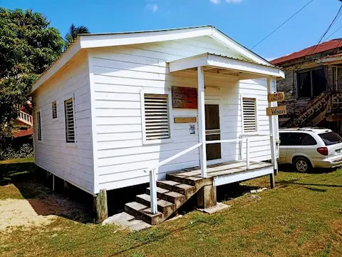
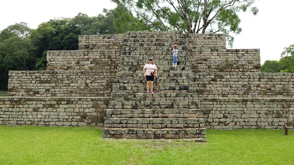
Cahal Pech Archaeological Reserve · Ko-Ox Han Nah
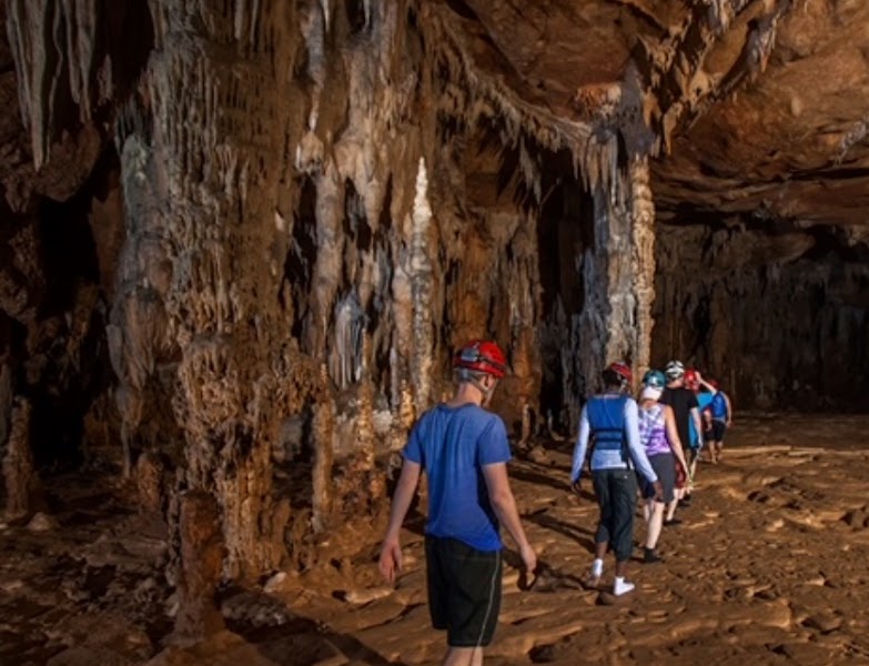
Day 5ATM Cave full-day excursion from San Ignacio
Actun Tunichil Muknal Cave · Licensed-operator cave lunch
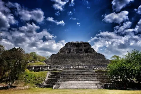
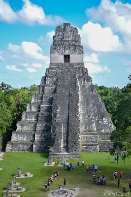
Day 6Xunantunich to Belize City
Xunantunich Archaeological Reserve · Benny's Kitchen
Stops along the route
Things to Do


Show 5 more


Where to Eat

Nearby and similar drives

Frequently asked questions
How long is the Belize Coast and Maya Ruins Loop drive?
The Belize Coast and Maya Ruins Loop covers 420 km from start to finish.
How long does the Belize Coast and Maya Ruins Loop take to drive?
Most travellers spend 6 days on the Belize Coast and Maya Ruins Loop, depending on stops and pace.
When is the best time to drive the Belize Coast and Maya Ruins Loop?
The recommended season for the Belize Coast and Maya Ruins Loop is November to April.
What are the main stops on the Belize Coast and Maya Ruins Loop?
The Belize Coast and Maya Ruins Loop passes through Belize City, Altun Ha, Dangriga.
How difficult is the Belize Coast and Maya Ruins Loop to drive?
The Belize Coast and Maya Ruins Loop is rated easy and is best handled with any vehicle.
Can I drive the Belize Coast and Maya Ruins Loop in a regular car?
Yes — the Belize Coast and Maya Ruins Loop is paved end-to-end and a regular car is fine in normal conditions.
How many fuel stops are needed on the Belize Coast and Maya Ruins Loop?
Plan around 0 refuels (or about 1 EV charges) along the Belize Coast and Maya Ruins Loop, based on its 420 km length.
Is the Belize Coast and Maya Ruins Loop safe to drive?
Drive only by day and allow for potholes, speed bumps, seasonal rain, and slow village traffic. Give Altun Ha its own Belize City day before continuing south. ATM Cave is a separate full-day licensed-guide excursion: reserve well ahead, expect river crossings, swimming and scrambling, wear secure closed footwear, and leave cameras and phones behind under the site’s no-camera rule. On day six visit Xunantunich, cross the hand-cranked ferry during operating hours, then return to Belize City.
What scenic tier is the Belize Coast and Maya Ruins Loop?
The Belize Coast and Maya Ruins Loop is a notable drive — Notable scenic drives — strong character routes that locals know well and that reward travellers willing to step beyond the most-photographed roads.