Hummingbird Highway — Belize — Scenic
Central America & Caribbean

Hummingbird Highway

Belize

Point-to-point
Belmopan Dangriga

In short: Hummingbird Highway is a about 105 km with the park spurs (86 km highway) scenic road trip in Belize, typically driven over 1–2 days, best in November to May. Highlights: Belmopan, St. Herman's Blue Hole National Park, St. Herman's Cave.

Distance
about 105 km with the park spurs (86 km highway)
Duration
1–2 days
Best Season
November to May
NotableEasyScenic

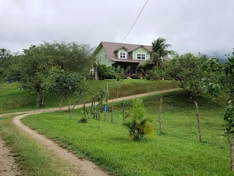
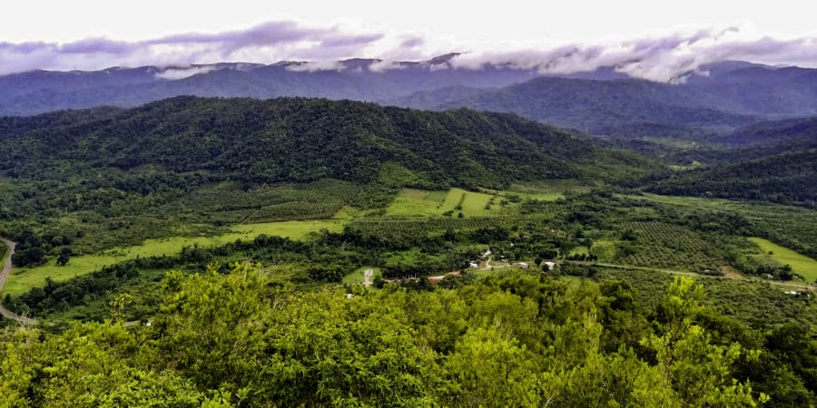
Belize’s Hummingbird Highway is a lush, low-stress drive from Belmopan to Dangriga, threading through citrus groves, Maya hills, and rainforest-covered valleys. The route is known for roadside fruit stands, mountain views, and easy detours to waterfalls, caves, and small Garifuna communities near the coast.

Practical notes
The highway itself is paved and suitable for any car, with sharp bends, potholes, and slow farm traffic. A realistic one-day drive pairs St. Herman’s Blue Hole National Park (choose the cave walk or the swim) with Billy Barquedier National Park and Dangriga; add a second day for Five Blues Lake or a longer cave tour. Check park hours before leaving, avoid unsigned tracks, and allow for brief washouts or slick turnoffs after heavy rain.

Make this route yours

Set your dates, pace, and taste, and RoadAtlas AI rebuilds this trip day by day with real, verified places.

Included with Traveler and Explorer plans.

Explore on the interactive map →

Plan this trip

Third-party planning links may be affiliate links. RoadAtlas stays independent, and you should verify details with the provider.

Day-by-day itinerary

Day 1Belmopan to Dangriga on the Hummingbird Highway

St. Herman's Cave or Blue Hole swim · Billy Barquedier waterfall hike · Caladium Restaurant

Day 2Optional Five Blues Lake extension

Five Blues Lake National Park · Over The Top Café

Stops along the route

Belmopan — Departure — Hummingbird Highway — Belize
Departure
Belmopan
Belize's inland capital and the easy launch point for the highway. Stock up, then head south into greener country.
Hotels
Middlesex — City — Hummingbird Highway — Belize
City
Middlesex
A quiet inland community surrounded by citrus orchards and low hills. Roadside stands here often sell fresh local produce.
Hotels
Dangriga — Arrival — Hummingbird Highway — Belize
Arrival
Dangriga
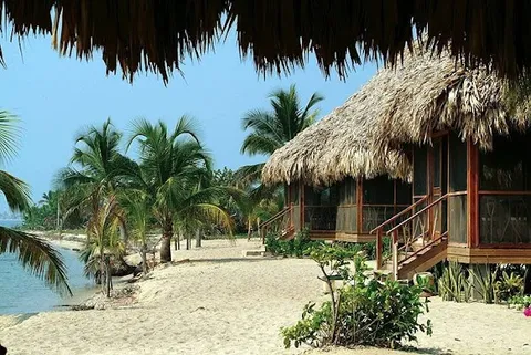
The Garifuna coastal town at the end of the drive. Warm sea air and relaxed streets signal the highway's finish.
Hotels

Things to Do

St. Herman's Blue Hole National Park — Nature — Hummingbird Highway — Belize
Nature
St. Herman's Blue Hole National Park
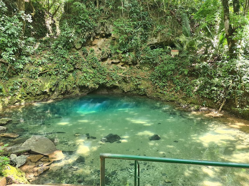
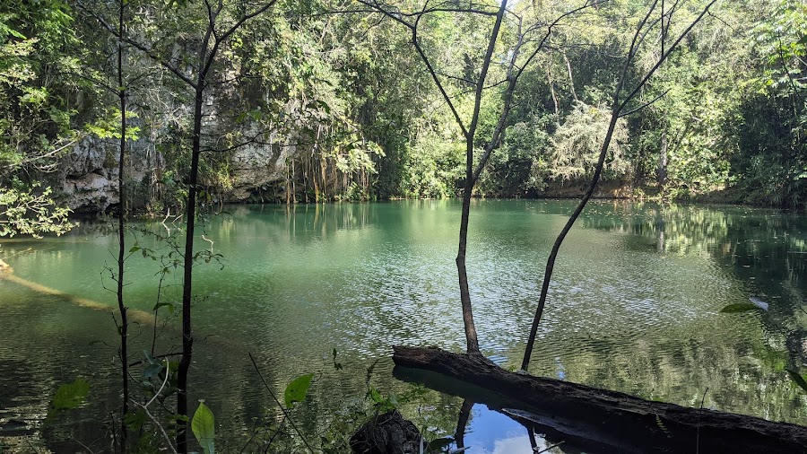
A shaded jungle park with a vivid swimming hole and short trails. It is a quick, refreshing first detour.
St. Herman's Cave — Landmark — Hummingbird Highway — Belize
Landmark
St. Herman's Cave
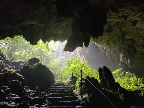
A walk-in cave near the highway with cool air and limestone passages. The entrance area feels deep in the forest.
Billy Barquedier National Park — Nature — Hummingbird Highway — Belize
Nature
Billy Barquedier National Park
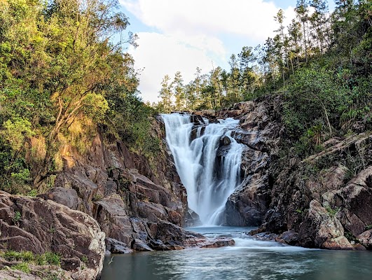
At Mile 17, a short forest trail reaches a waterfall and swimming pool directly off the Hummingbird Highway.
Blue Hole National Park swim — swimming — Hummingbird Highway — Belize
swimming
Blue Hole National Park swim
Take a short trail to the blue sinkhole and cool off in clear water. It is one of the easiest nature breaks on the route.
St. Herman's Cave exploration — cave — Hummingbird Highway — Belize
cave
St. Herman's Cave exploration
Walk into the cave system and explore its limestone chambers. Bring a light and expect a classic Belize jungle cave feel.
Five Blues Lake National Park — nature — Hummingbird Highway — Belize
nature
Five Blues Lake National Park
A hidden sinkhole lake ringed by forest, a short detour off the highway near Blue Hole NP. Good for a quiet paddle or picnic stop.
Show 3 more
Hummingbird Highway mountain drive — scenic drive — Hummingbird Highway — Belize
scenic drive
Hummingbird Highway mountain drive
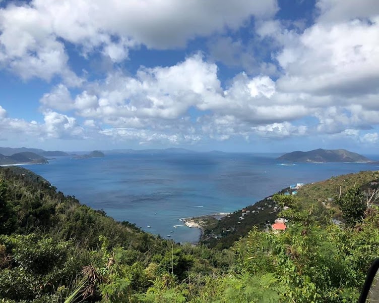
Enjoy the highway’s broad views over forested ridges and citrus country, using only safe, established roadside pullouts for photos.
Billy Barquedier waterfall hike — waterfall hike — Hummingbird Highway — Belize
waterfall hike
Billy Barquedier waterfall hike
Take the signed short trail from the Mile 17 park entrance to the waterfall and swimming pool before continuing to Dangriga.
Dangriga waterfront stroll — walk — Hummingbird Highway — Belize
walk
Dangriga waterfront stroll
Finish with a walk along the coastal town and watch everyday Garifuna life. The pace feels relaxed and local.

Where to Eat

Ian Anderson's Caves Branch Adventure Co. Restaurant — Belizean — Hummingbird Highway — Belize
Belizean
Ian Anderson's Caves Branch Adventure Co. Restaurant
A reliable stop for a sit-down meal near the Maya foothills. Expect local plates and a lush jungle setting.
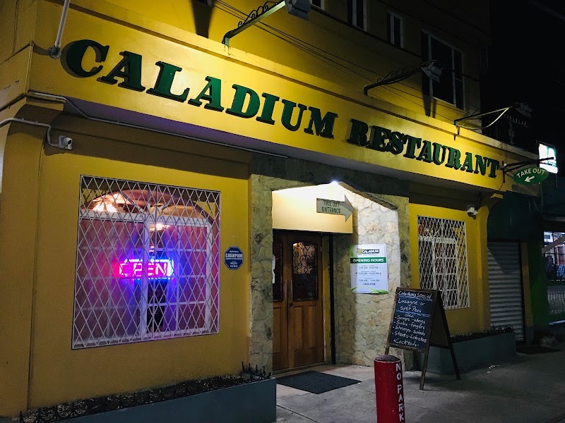
Caladium Restaurant — Belizean — Hummingbird Highway — Belize
Belizean
Caladium Restaurant
A long-running Market Square restaurant in Belmopan serving Belizean breakfasts and lunches before the highway drive.
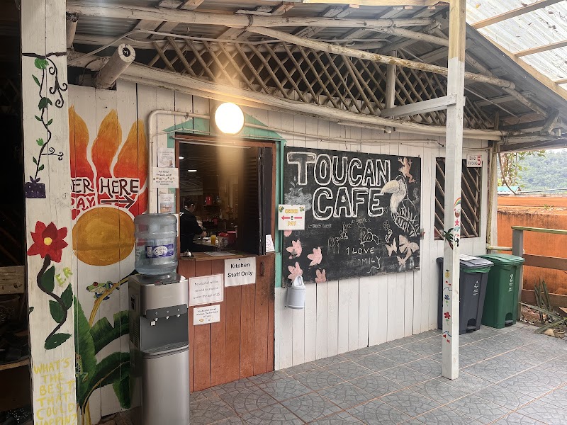
Over The Top Cafe — Belizean — Hummingbird Highway — Belize
Belizean
Over The Top Cafe
A genuine roadside restaurant near the top of the Hummingbird Highway, good for local plates and a cold drink mid-drive.
King Burger — Belizean and Garifuna — Hummingbird Highway — Belize
Belizean and Garifuna
King Burger
A longtime local favorite on Commerce Street in Dangriga for hearty Belizean and Garifuna home cooking. Good for a relaxed end-of-route meal.

Nearby and similar drives

Frequently asked questions

How long is the Hummingbird Highway drive?

The Hummingbird Highway covers about 105 km with the park spurs (86 km highway) from start to finish.

How long does the Hummingbird Highway take to drive?

Most travellers spend 1–2 days on the Hummingbird Highway, depending on stops and pace.

When is the best time to drive the Hummingbird Highway?

The recommended season for the Hummingbird Highway is November to May.

Where does the Hummingbird Highway start and end?

The Hummingbird Highway runs from Belmopan to Dangriga.

What are the main stops on the Hummingbird Highway?

The Hummingbird Highway passes through Belmopan, St. Herman's Blue Hole National Park, St. Herman's Cave.

How difficult is the Hummingbird Highway to drive?

The Hummingbird Highway is rated easy and is best handled with any vehicle.

Can I drive the Hummingbird Highway in a regular car?

Yes — the Hummingbird Highway is paved end-to-end and a regular car is fine in normal conditions.

Is the Hummingbird Highway safe to drive?

The highway itself is paved and suitable for any car, with sharp bends, potholes, and slow farm traffic. A realistic one-day drive pairs St. Herman’s Blue Hole National Park (choose the cave walk or the swim) with Billy Barquedier National Park and Dangriga; add a second day for Five Blues Lake or a longer cave tour. Check park hours before leaving, avoid unsigned tracks, and allow for brief washouts or slick turnoffs after heavy rain.

What scenic tier is the Hummingbird Highway?

The Hummingbird Highway is a notable drive — Notable scenic drives — strong character routes that locals know well and that reward travellers willing to step beyond the most-photographed roads.