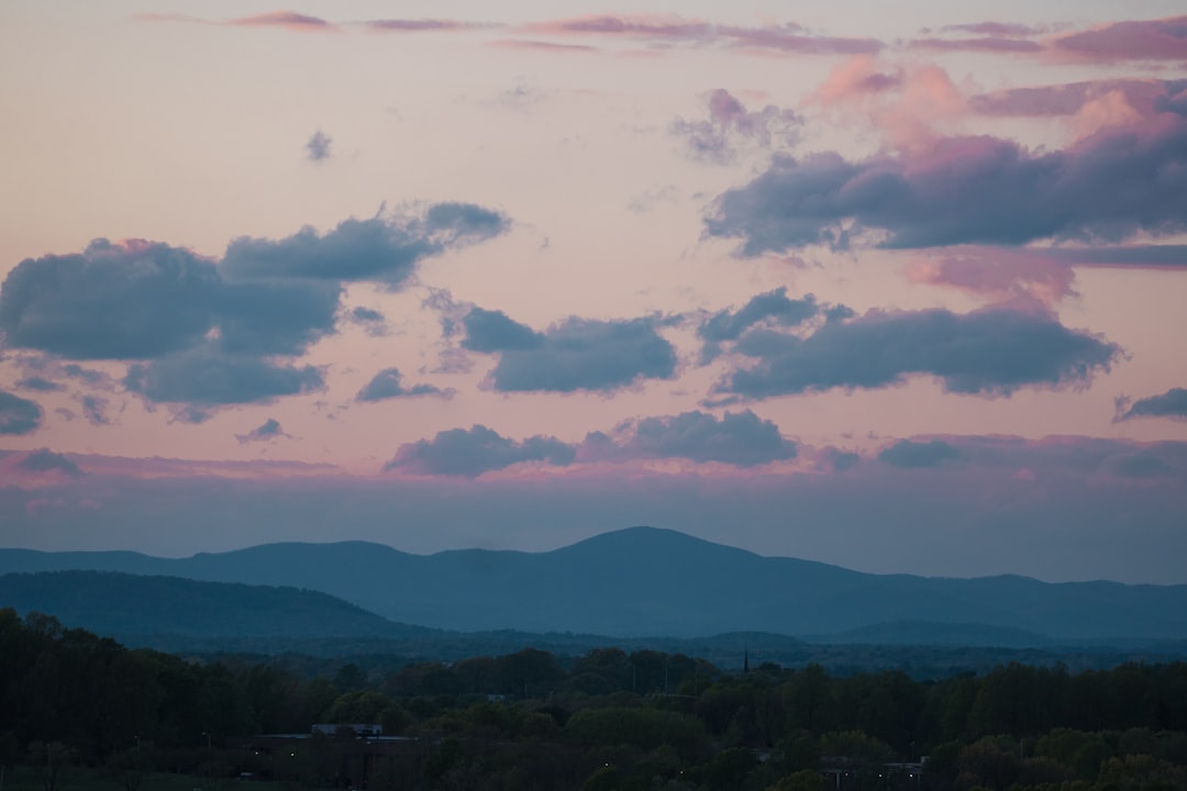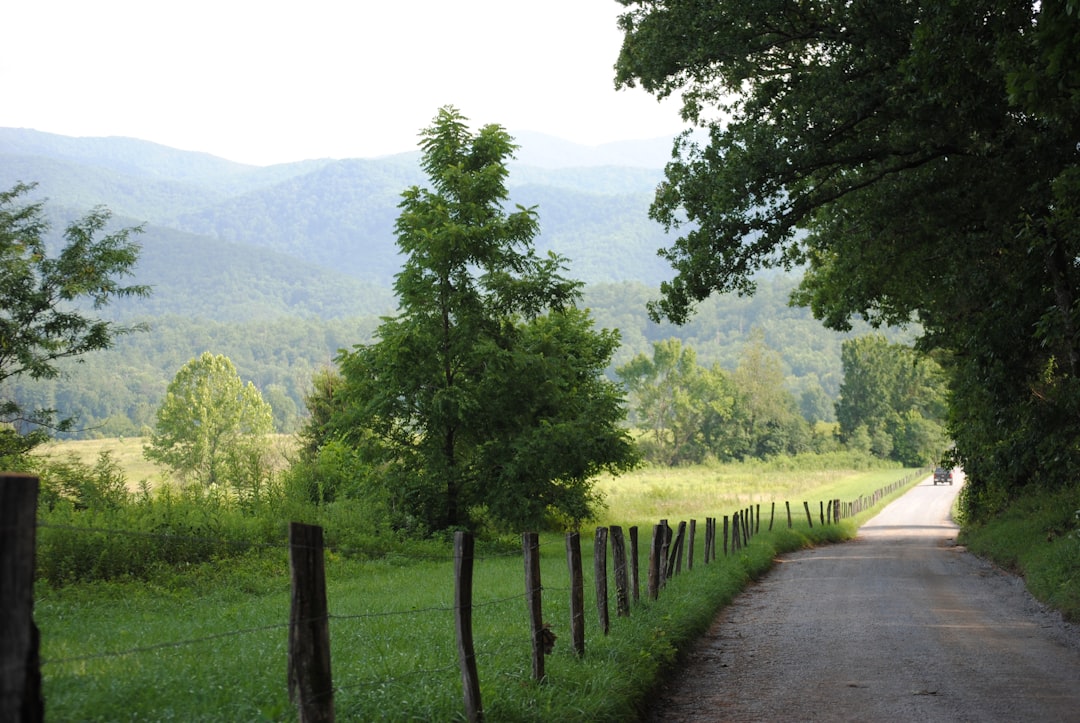
The Natchez Trace Parkway runs 715 km from Natchez, Mississippi to Nashville, Tennessee, and five days is the right amount of time to drive it. That pace lets you stop at the ancient mounds, ghost towns, and Civil War sites strung along the old trail without rushing past them at the Parkway's steady 50 mph.
The Trace follows a path walked for 10,000 years, first by Native Americans, later by French traders and by flatboatmen making their way home overland after floating goods down to New Orleans. Today it is a billboard-free National Parkway of cathedral forest, earthworks, and mounds, with no commercial traffic and no stoplights. This guide drives it south to north, milepost 0 to milepost 444, one day at a time.
The short answer
- Length and time: 715 km over 5 days, driving south to north from Natchez to Nashville.
- Best seasons: spring for dogwood and green forest, fall for colour and cool air. Summer is humid and stormy.
- Speed limit: 50 mph the whole way, strictly enforced. Plan on covering ground slowly.
- Fuel and food: there is little of either on the Parkway itself, so fill up and stock up in the towns you pass.
- Vehicle: any car works, and the route has enough charging in the gateway towns for an EV.
Day by day on the Trace
| Day | Route | Highlights | Overnight |
|---|---|---|---|
| 1 | Natchez to Rocky Springs | Emerald Mound, Windsor Ruins, Port Gibson | Jackson / Ridgeland |
| 2 | Ridgeland to Tupelo | Cypress Swamp boardwalk, forest miles | Tupelo |
| 3 | Tupelo to Colbert Ferry | Elvis birthplace, Tennessee River crossing | Florence, Alabama |
| 4 | Colbert Ferry to Franklin | Meriwether Lewis grave, Leiper's Fork | Franklin |
| 5 | Franklin to Nashville | Carnton, Parkway terminus | Nashville |
Day 1: Natchez to Rocky Springs
Start at Natchez, the oldest city on the Mississippi and once the cotton capital of the antebellum South. Its plantation mansions and the riverfront Under-the-Hill district sit at milepost zero. A few miles up the Trace, Emerald Mound at milepost 10 is the second-largest Native American ceremonial mound in the country, raised by the Natchez people between 1250 and 1600 CE and now rising quietly from a forest clearing.
Detour to the Windsor Ruins, where 23 Corinthian columns are all that survive of a grand 1861 mansion. Then stop in Port Gibson, the town Grant declared too beautiful to burn in 1863. The First Presbyterian Church steeple is topped with a golden hand pointing skyward instead of a cross. End the day near the Rocky Springs townsite, an abandoned settlement the forest has almost reclaimed, and sleep near Jackson.
Day 2: Ridgeland to Tupelo
North of the Jackson area the Parkway settles into long, green forest miles. The one stop to build in is the Cypress Swamp boardwalk at milepost 122, a short loop over still black water where the trees stand knee-deep in the swamp. It is the defining short walk on the southern half of the drive.
From there it is a steady run to Tupelo, home to the Parkway's headquarters visitor center and a good place to break for the night. Fuel and dinner options are easier here than anywhere on the road itself.
Day 3: Tupelo to Colbert Ferry
Tupelo is where Elvis Presley was born in 1935, in a two-room shotgun house that still stands. Depression-era Mississippi shaped the singer who fused gospel, blues, and country into rock and roll, and the birthplace site tells that story.
Continue north as the Parkway crosses briefly into Alabama and reaches Colbert Ferry at milepost 327, the Tennessee River crossing flatboatmen used from the early 1800s. It is a quiet picnic area on the water now. Nearby Florence makes a practical overnight.
Day 4: Colbert Ferry to Franklin
The Trace climbs into the wooded hills of Tennessee. At milepost 385.9 the Meriwether Lewis Monument marks the spot where the explorer died at Grinder's Stand in 1809, under circumstances still argued over. A broken column stands over his grave.
Further on, Leiper's Fork is a small village of galleries, antique shops, and live music just off the Parkway, worth an hour before you settle in Franklin for the night. Franklin has one of the most intact antebellum town centres in the South.
Day 5: Franklin to Nashville
Start in Franklin at Carnton, a plantation house that became a field hospital after the 1864 Battle of Franklin and now sits beside the largest Confederate cemetery in Tennessee. Then drive the final miles to the northern terminus at milepost 444, just outside Nashville.
Nashville closes out the trip. The Ryman Auditorium, the Country Music Hall of Fame, and the Broadway honky-tonks are all within a short walk of each other downtown.
Which direction and how long
Driving south to north, from Natchez up to Nashville, follows the historic direction the boatmen walked and saves the liveliest city for last. Reverse it if you would rather start in Nashville and wind down in quiet Natchez.
Five days suits the 715 km distance and the 50 mph limit without feeling stretched. Three days is enough if you skip the detours and treat it as a scenic transit; a week lets you add side trips into Jackson, the Shiloh battlefield, and the Tennessee music towns.
Before you go
Check the National Park Service road-and-site status page just before you travel. As of July 2026, mileposts 165.3 to 180.8 and 437 to 440 had construction detours or closures, so build each day around the posted detour rather than assuming an unbroken line. Watch for wildlife on the road, carry water and snacks, and expect thin cell coverage between towns.
The Trace pairs well with the eastern parkway that shares its billboard-free, no-commerce character. If you have more time, the Blue Ridge Parkway runs a similar ridge-top experience through the Appalachians. Both belong to our wider collection of historic road trips.
Frequently asked questions
How long does it take to drive the Natchez Trace Parkway?
Five days is the comfortable pace for the full 715 km, with time for the mounds, ruins, and river crossings. You can cover the whole road in three days if you keep stops short, since the 50 mph limit slows the driving either way.
What is the best time of year to drive the Natchez Trace?
Spring and fall. Spring brings dogwood and fresh green forest, and fall brings colour and cooler, drier air. Summer is humid with afternoon storms, and winter is quiet but can be foggy.
Where does the Natchez Trace Parkway start and end?
It runs between Natchez, Mississippi at milepost 0 and Nashville, Tennessee at milepost 444, passing through the northwest corner of Alabama in between. Most drivers go south to north.
Are there gas stations on the Natchez Trace Parkway?
No, there are no service stations on the Parkway itself. Fill up in the gateway towns such as Natchez, Jackson, Tupelo, and Franklin, and stock up on food and water before long stretches.
Ready to plan it? Read the full Natchez Trace Parkway route guide for the mapped stops, then open the interactive map to shape your own five days from Natchez to Nashville.