Natchez Trace Parkway
United States
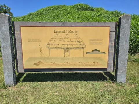
In short: Natchez Trace Parkway is a 715 km historical road trip in United States, typically driven over 5 days, best in Spring / Fall. Highlights: Natchez, Emerald Mound, Port Gibson.
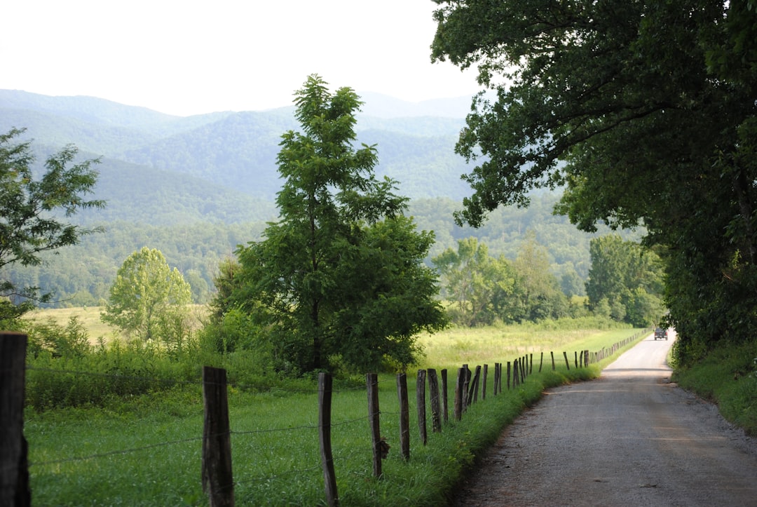
The oldest road in America, a 715 km National Parkway following a 10,000-year-old trail used by Native Americans, French traders, and flatboatmen walking home from New Orleans, now a billboard-free parkway of cathedral forest, Civil War earthworks, and ancient mounds.
Make this route yours
Set your dates, pace, and taste, and RoadAtlas AI rebuilds this trip day by day with real, verified places.
Included with Traveler and Explorer plans.
Plan this trip
Third-party planning links may be affiliate links. RoadAtlas stays independent, and you should verify details with the provider.
Day-by-day itinerary
Day 1Natchez to Port Gibson area
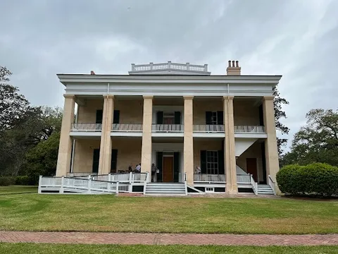
Natchez National Historical Park · Downtown Natchez Bluff Trail · The Camp Restaurant
Day 2Port Gibson to Jackson and Ridgeland (mileposts 40–105)
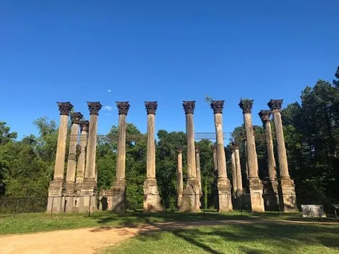
Windsor Ruins · Port Gibson Historic District · The Manship Wood Fired Kitchen
Day 3Ridgeland to Tupelo (mileposts 105–266 with the posted detour)
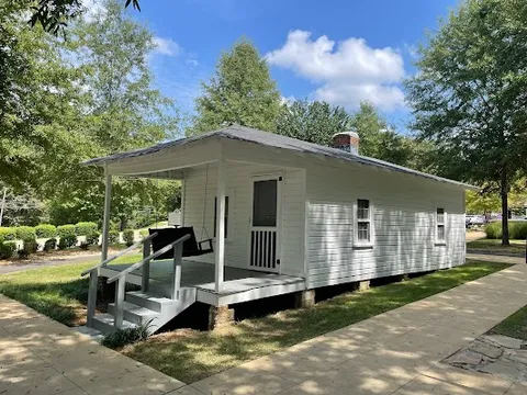
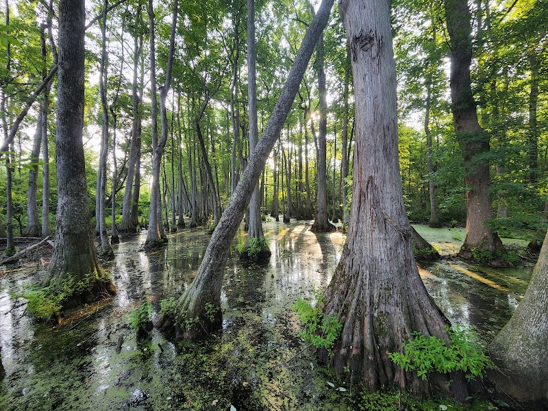
Cypress Swamp (milepost 122) · Elvis Presley Birthplace and Museum · Parkway provisions from Ridgeland
Day 4Tupelo to Florence (mileposts 266–390)
Pharr Mounds (milepost 286.7) · Wichahpi Commemorative Stone Wall · Odette
Day 5Florence to the Nashville terminus (mileposts 390–444)
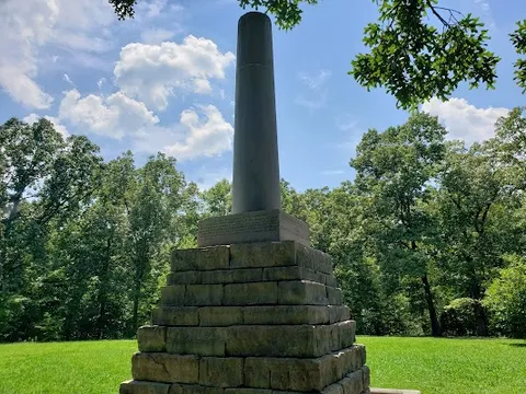
Meriwether Lewis site (milepost 385.9) · Jackson Falls (milepost 404.7) · 1892 Leipers Fork
Stops along the route

Things to Do

Show 2 more
Where to Eat



Nearby and similar drives


Frequently asked questions
How long is the Natchez Trace Parkway drive?
The Natchez Trace Parkway covers 715 km from start to finish.
How long does the Natchez Trace Parkway take to drive?
Most travellers spend 5 days on the Natchez Trace Parkway, depending on stops and pace.
When is the best time to drive the Natchez Trace Parkway?
The recommended season for the Natchez Trace Parkway is Spring / Fall.
Where does the Natchez Trace Parkway start and end?
The Natchez Trace Parkway runs from Natchez to Nashville.
What are the main stops on the Natchez Trace Parkway?
The Natchez Trace Parkway passes through Natchez, Emerald Mound, Port Gibson.
How difficult is the Natchez Trace Parkway to drive?
The Natchez Trace Parkway is rated easy and is best handled with any vehicle.
Can I drive the Natchez Trace Parkway in a regular car?
Yes — the Natchez Trace Parkway is paved end-to-end and a regular car is fine in normal conditions.
How many fuel stops are needed on the Natchez Trace Parkway?
Plan around 1 refuels (or about 2 EV charges) along the Natchez Trace Parkway, based on its 715 km length.
Is the Natchez Trace Parkway EV friendly?
Yes — the Natchez Trace Parkway has charger coverage along the route and works as an EV road trip.
Is the Natchez Trace Parkway safe to drive?
Check the dated NPS road-and-site status page immediately before travel. As of July 2026, mileposts 165.3–180.8 and 437–440 have construction detours or closures; rebuild each day around the posted detour rather than assuming a continuous line. The Parkway has a 50 mph limit, wildlife, little fuel or food, and thin cell coverage.
What scenic tier is the Natchez Trace Parkway?
The Natchez Trace Parkway is a iconic drive — Iconic road trips that anchor a region's reputation — postcard scenery, headline highways, and the routes most travellers want to drive.