Blue Ridge Parkway
United States
In short: Blue Ridge Parkway is a 755 km plus live detours scenic road trip in United States, typically driven over 5–6 days, best in May–Jun, Sep–Oct. Highlights: Rockfish Gap, Peaks of Otter, Roanoke.
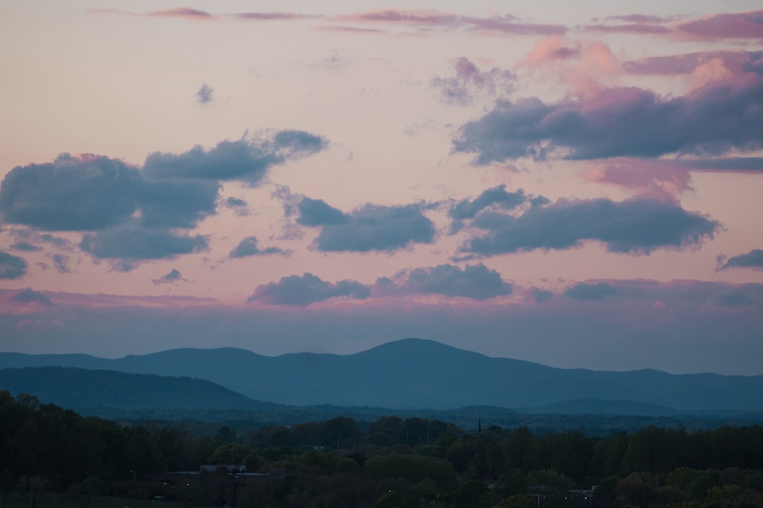
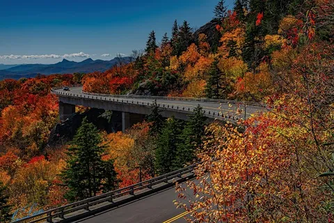
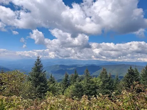
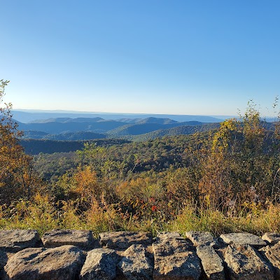
The most beautiful drive in the eastern United States, 755 km of ridge-top parkway through the Appalachians from Shenandoah National Park to the Great Smoky Mountains, with no commercial traffic, no billboards, and no stoplights. Named overlooks appear every few kilometres above a landscape of unbroken hardwood forest turning gold and crimson each October.
Make this route yours
Set your dates, pace, and taste, and RoadAtlas AI rebuilds this trip day by day with real, verified places.
Included with Traveler and Explorer plans.
Plan this trip
Third-party planning links may be affiliate links. RoadAtlas stays independent, and you should verify details with the provider.
Day-by-day itinerary
Day 1Shenandoah Valley / Waynesboro area
Humpback Rocks · Humpback Rocks Visitor Center and farm · The River Burger Bar
Day 2Roanoke / Peaks of Otter area
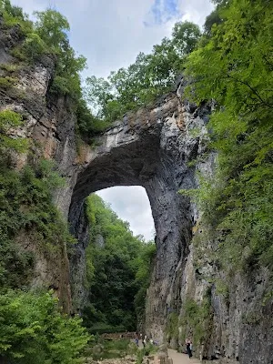
Natural Bridge State Park · Peaks of Otter Lake Trail · Peaks of Otter Lake View Dining Room
Day 3North Carolina High Country
Linn Cove Viaduct Overlook · Moses H. Cone Memorial Park · Bistro Roca
Day 4Asheville
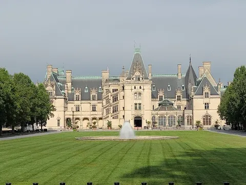
Biltmore Estate · Folk Art Center · Cúrate
Day 5Great Smoky Mountains / Cherokee area
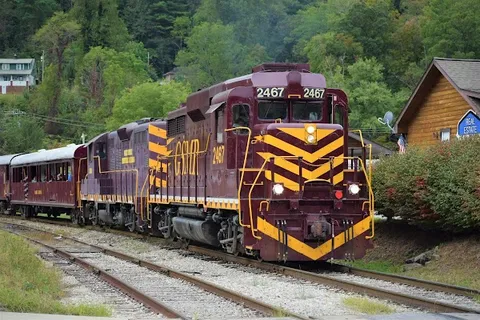
Museum of the Cherokee People · Waterrock Knob Trail · Granny's Kitchen
Stops along the route

Things to Do

Show 2 more
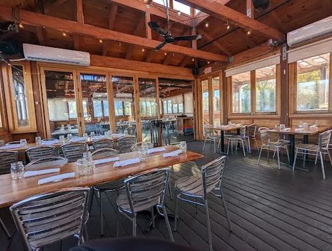
Where to Eat



Nearby and similar drives
Frequently asked questions
How long is the Blue Ridge Parkway drive?
The Blue Ridge Parkway covers 755 km plus live detours from start to finish.
How long does the Blue Ridge Parkway take to drive?
Most travellers spend 5–6 days on the Blue Ridge Parkway, depending on stops and pace.
When is the best time to drive the Blue Ridge Parkway?
The recommended season for the Blue Ridge Parkway is May–Jun, Sep–Oct.
Where does the Blue Ridge Parkway start and end?
The Blue Ridge Parkway runs from Rockfish Gap to Cherokee.
What are the main stops on the Blue Ridge Parkway?
The Blue Ridge Parkway passes through Rockfish Gap, Peaks of Otter, Roanoke.
How difficult is the Blue Ridge Parkway to drive?
The Blue Ridge Parkway is rated easy and is best handled with any vehicle.
Can I drive the Blue Ridge Parkway in a regular car?
Yes — the Blue Ridge Parkway is paved end-to-end and a regular car is fine in normal conditions.
How many fuel stops are needed on the Blue Ridge Parkway?
Plan around 1 refuels (or about 2 EV charges) along the Blue Ridge Parkway, based on its 755 km plus live detours length.
Is the Blue Ridge Parkway EV friendly?
Yes — the Blue Ridge Parkway has charger coverage along the route and works as an EV road trip.
Is the Blue Ridge Parkway safe to drive?
Open the NPS real-time road-status map every morning and calculate the posted detours for the travel date; do not assume a continuous 755 km Parkway while storm and construction closures remain. The paved road is narrow and slow, with fog, ice, wildlife, tunnels, and no fuel on route. Off-route cities and Biltmore are labeled excursions.
What scenic tier is the Blue Ridge Parkway?
The Blue Ridge Parkway is a legendary drive — The world's most extraordinary drives — once-in-a-lifetime road trips with cinematic scenery, legendary roads, and unmatched cultural depth.