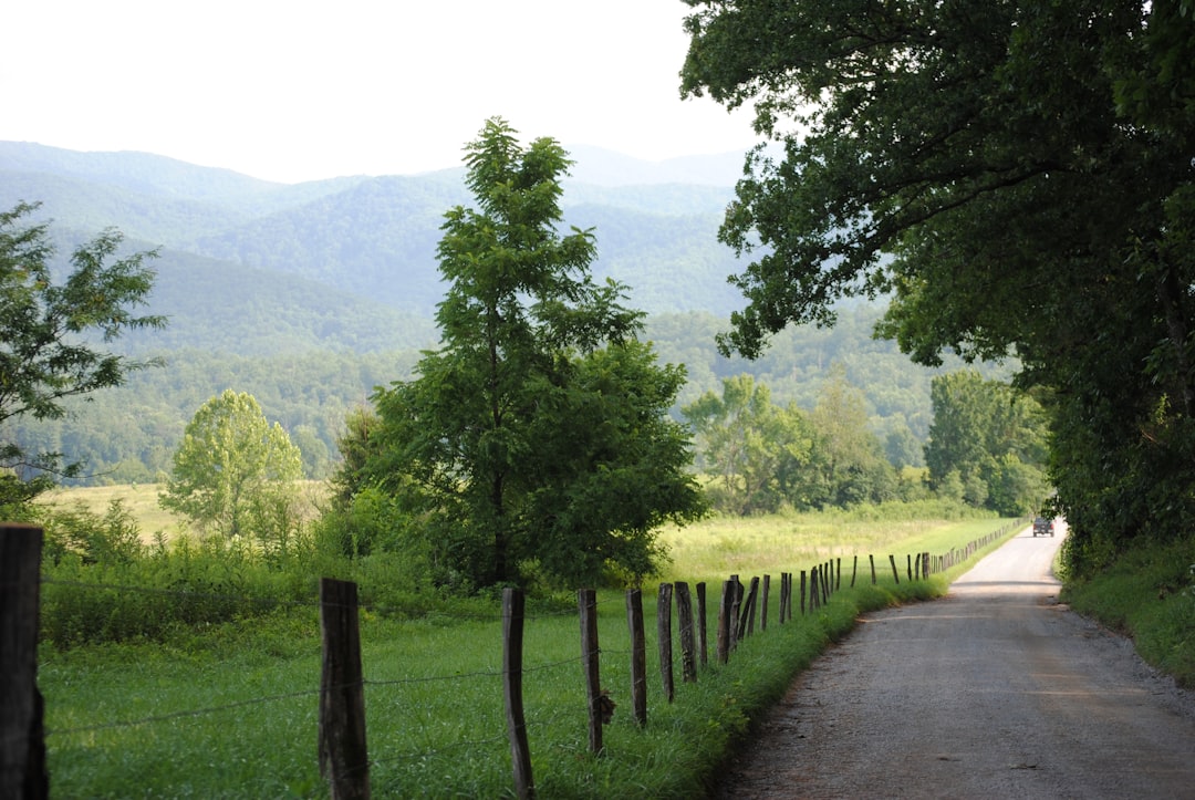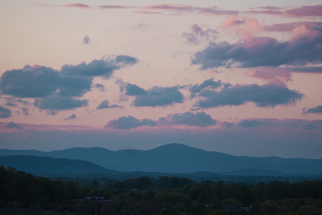
The Blue Ridge Parkway is the most beautiful drive in the eastern United States: 755 km of billboard-free, ridge-top road through the Appalachians. Give yourself 4 to 6 days, drive it north to south from Rockfish Gap in Virginia to Cherokee in North Carolina, and time your trip for late September to October if you want the famous autumn colour.
The Parkway links Shenandoah National Park to Great Smoky Mountains National Park with no commercial traffic, no billboards, and no stoplights along its entire length. Named overlooks appear every few kilometres above unbroken hardwood forest. This guide covers the route stop by stop, when to go, and how to pace the days.
The short answer
- Length and time: 755 km, ideally spread over 4 to 6 days.
- Direction: north to south, from Rockfish Gap at milepost 0 to Cherokee.
- Best seasons: May to June for green ridges and rhododendron, September to October for fall foliage.
- Vehicle: any car works. The road is fully paved but narrow, curving, and heavily enforced for speed.
- Fuel: there are no service stations on the Parkway itself, so fill up in nearby towns before long stretches.
Driving the Parkway, stop by stop
The Parkway is measured in mileposts, starting at zero where Skyline Drive ends. Heading south, these are the anchors worth building your days around.
Rockfish Gap to Roanoke, Virginia
Begin at Rockfish Gap, the northern terminus at milepost 0, where Skyline Drive ends and the ridge-top road begins heading south. Around milepost 86 you reach the Peaks of Otter, three summits above a glacial lake. The short, steep climb up Sharp Top earns one of the finest 360-degree views over the Virginia piedmont.
Further south sits Roanoke, the Parkway's largest city and a natural place to spend a night. The Taubman Museum of Art anchors a walkable downtown, and the Mill Mountain Star, the world's largest illuminated man-made star, glows above the valley after dark.
Roanoke to Asheville, into North Carolina
South of Roanoke the road threads through the Rocky Knob and Cumberland Knob country and crosses into North Carolina. The signature structure here is the Linn Cove Viaduct, an S-curve concrete bridge that snakes around the flank of Grandfather Mountain. It was built in 1987 to avoid disturbing the fragile rock below, and it is the most photographed engineering feature on the whole drive.
Then comes Asheville, the South's most creative small city and the obvious base for the middle of the trip. The 250-room Biltmore Estate, America's largest privately owned home, sits just outside town, while the River Arts District and a dense Art Deco downtown fill an easy rest day.
Asheville to Cherokee, North Carolina
The final stretch climbs into the highest country on the Parkway. Waterrock Knob, near milepost 451, is the highest accessible overlook at 1,855m. On a clear day four states are visible across the southern Appalachians. The road ends at Cherokee, the Eastern Band Cherokee gateway to Great Smoky Mountains National Park, where the Museum of the Cherokee Indian tells the story of the 1838 Trail of Tears.
When to drive the Blue Ridge Parkway
The catalog season for the Parkway is May to June and September to October, and there is a clear reason for each window. Late spring brings cool green ridges, flowing waterfalls, and blooming rhododendron and mountain laurel. Early fall delivers the colour that draws most visitors, along with crisp air and long, low light.
Summer is warm, green, and busy, with afternoon thunderstorms common over the high ground. Winter is quiet and atmospheric but demanding: fog, ice, and storms close sections without warning, and many facilities shut down.
| Season | Conditions | Verdict |
|---|---|---|
| Mar to Apr | Cool, bare trees, some closures | Early shoulder |
| May to Jun | Green ridges, rhododendron, waterfalls | Excellent |
| Jul to Aug | Warm, hazy, afternoon storms, crowds | Doable |
| Sep to Oct | Crisp air, fall foliage, peak colour | Best of all |
| Nov to Feb | Cold, fog and ice, frequent closures | Off-season |
Fall foliage timing
Foliage is the question people ask most, and the answer depends on elevation rather than the calendar alone. Colour generally arrives first at the highest overlooks, around Waterrock Knob and Grandfather Mountain in early to mid-October, and works its way down to the valleys and lower Virginia sections through late October. Because the Parkway spans such a wide range of altitudes, you can often chase peak colour for two to three weeks simply by changing your elevation. Weekends in October are the busiest days of the year, so start early and keep your overnight bookings well ahead.
How long do you really need?
For the full 755 km from Rockfish Gap to Cherokee, plan 4 to 6 days. That pace keeps you off the clock, lets you walk the short trails at Peaks of Otter and Humpback Rocks, and leaves room for a full rest day in Asheville.
If you only have a weekend, drive one half. The Virginia section from Rockfish Gap to Roanoke is gentle and historic, while the North Carolina section from Asheville to Cherokee packs in the highest overlooks and the most dramatic mountain scenery. Either half pairs well with a return trip for the rest.
The Parkway is entirely paved and easy to follow, which makes it a forgiving first big road trip. The planning is less about the driving and more about timing the colour and booking ahead.
Frequently asked questions
How long does it take to drive the Blue Ridge Parkway?
Plan 4 to 6 days to drive the full 755 km and still stop at the major overlooks and towns. The posted speed limit is low and the road is curving, so daily distances feel longer than the map suggests. A single weekend covers one half at a relaxed pace.
When is the best time to see fall colours on the Blue Ridge Parkway?
Aim for early to mid-October at the highest elevations and late October lower down. The wide range of altitudes means peak colour lingers across the route for two to three weeks rather than a single weekend.
Are there gas stations on the Blue Ridge Parkway?
No. There are no service stations directly on the Parkway, so fill up in nearby towns such as Waynesboro, Roanoke, Boone, and Asheville before long stretches. Carry more fuel than you think you need.
Can you drive the Blue Ridge Parkway in winter?
Partly. The road stays paved, but the National Park Service closes sections for fog, ice, and storms, often with little notice. A normal car is fine on open stretches, but check current closures before you go and keep your days short.
Is the Blue Ridge Parkway good for an electric car?
Yes. The Parkway is EV-friendly, with charging available in the gateway towns along the way. Because there are no services on the road itself, plan charging stops in Asheville, Roanoke, and the other towns just off the route.
Plan your own Blue Ridge Parkway trip
See every milepost, overlook, and practical note on our Blue Ridge Parkway route guide, or open it on the interactive map to set your own pace.
Want more classic American drives? Compare the Parkway with the Natchez Trace Parkway, another billboard-free southern ridge road, and the all-American Route 66.