
Sierra Nevada de Santa Marta and Tayrona
Colombia
In short: Sierra Nevada de Santa Marta and Tayrona is a 190 km wildlife road trip in Colombia, typically driven over 3-4 days, best in December-April. Highlights: Santa Marta, El Rodadero, Minca.
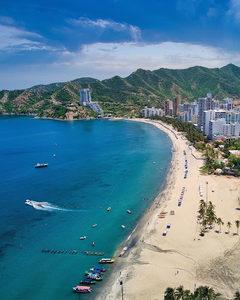
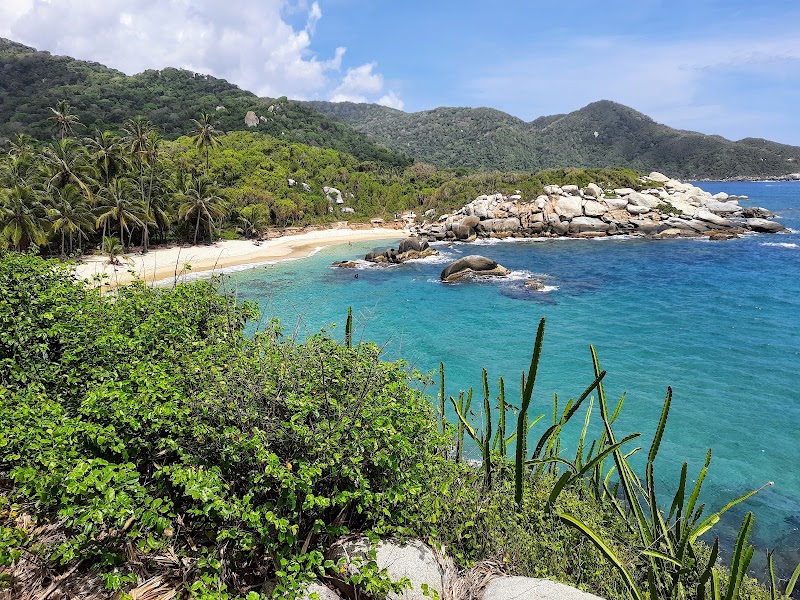
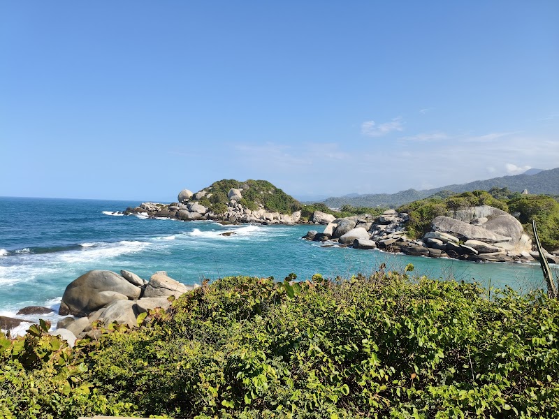
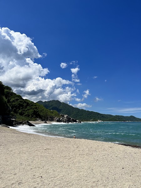
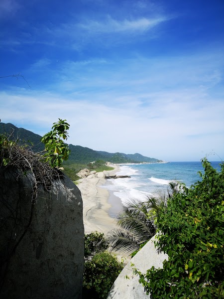
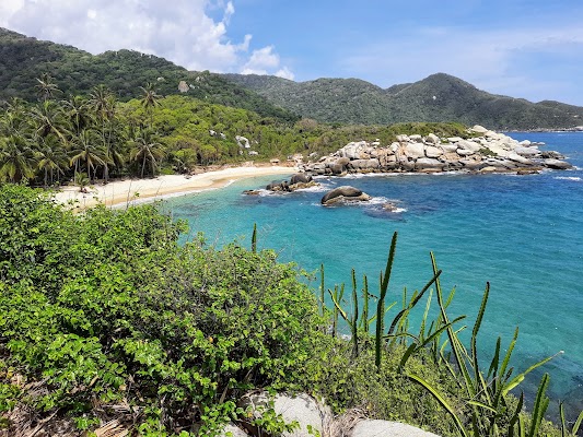
This Caribbean-road trip links Santa Marta’s laid-back waterfront with the jungle-cloaked foothills of the Sierra Nevada and the palm-fringed coast of Tayrona National Natural Park. Drive through banana country, stop at Minca’s cool mountain cafés, then finish with turquoise bays, white sand, and dramatic granite headlands.
Plan this trip
Third-party planning links may be affiliate links. RoadAtlas stays independent, and you should verify details with the provider.
Stops along the route


Things to Do
Where to Eat





Explore related routes
Nearby and similar drives

Frequently asked questions
How long is the Sierra Nevada de Santa Marta and Tayrona drive?
The Sierra Nevada de Santa Marta and Tayrona covers 190 km from start to finish.
How long does the Sierra Nevada de Santa Marta and Tayrona take to drive?
Most travellers spend 3-4 days on the Sierra Nevada de Santa Marta and Tayrona, depending on stops and pace.
When is the best time to drive the Sierra Nevada de Santa Marta and Tayrona?
The recommended season for the Sierra Nevada de Santa Marta and Tayrona is December-April.
Where does the Sierra Nevada de Santa Marta and Tayrona start and end?
The Sierra Nevada de Santa Marta and Tayrona runs from Santa Marta to Cabo San Juan del Guía.
What are the main stops on the Sierra Nevada de Santa Marta and Tayrona?
The Sierra Nevada de Santa Marta and Tayrona passes through Santa Marta, El Rodadero, Minca.
Can I drive the Sierra Nevada de Santa Marta and Tayrona in a regular car?
Yes — the Sierra Nevada de Santa Marta and Tayrona is paved end-to-end and a regular car is fine in normal conditions.
Is the Sierra Nevada de Santa Marta and Tayrona safe to drive?
Expect heat, humid coastal weather, and slow travel on mountain roads. Park access roads and beach areas can be crowded on holidays, and some short walks in Tayrona are the only practical way to reach the best viewpoints and coves.
What scenic tier is the Sierra Nevada de Santa Marta and Tayrona?
The Sierra Nevada de Santa Marta and Tayrona is a iconic drive — Iconic road trips that anchor a region's reputation — postcard scenery, headline highways, and the routes most travellers want to drive.