Colombia Caribbean Coast
Colombia
In short: Colombia Caribbean Coast is a about 500 km including local access roads cultural road trip in Colombia, typically driven over 10 days, best in December-April. Highlights: Cartagena, Barranquilla, Parque Cultural del Caribe.
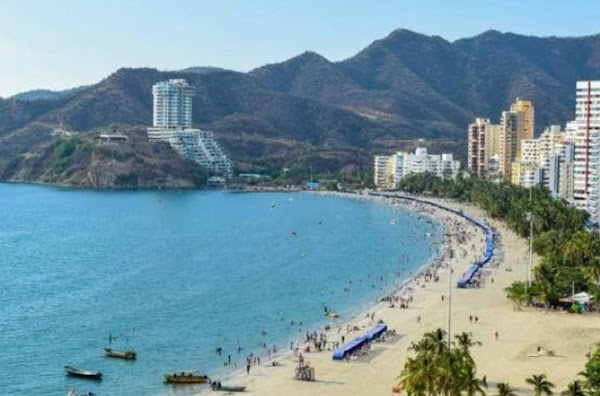
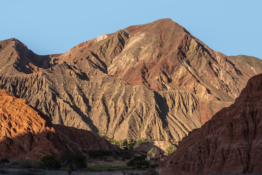
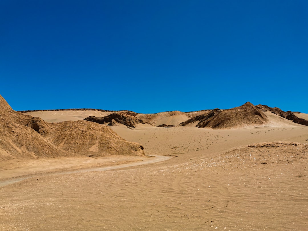
This coast-to-coast drive follows Colombia’s Caribbean shoreline from Cartagena through Barranquilla and Santa Marta to the gateway of Tayrona and the foothills of the Sierra Nevada. Expect colonial cities, mangrove lagoons, beach towns, and long stretches of warm coastal highway with lively regional food and music.
Make this route yours
Set your dates, pace, and taste, and RoadAtlas AI rebuilds this trip day by day with real, verified places.
Included with Traveler and Explorer plans.
Plan this trip
Third-party planning links may be affiliate links. RoadAtlas stays independent, and you should verify details with the provider.
Day-by-day itinerary
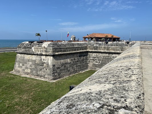
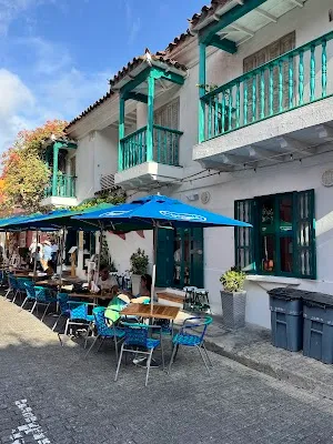
Day 1Cartagena
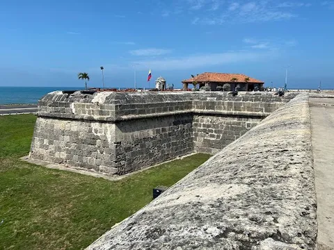
Walled City of Cartagena · Castillo San Felipe de Barajas · La Cevichería
Day 2Cartagena to Barranquilla
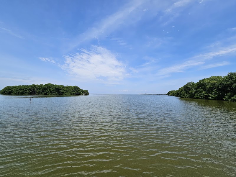
La Boquilla Mangroves · Bocas de Ceniza · Restaurante 1621
Day 3Barranquilla to Puebloviejo and Santa Marta
Barranquilla Malecón · Puebloviejo nautical pier and Ciénaga Grande · Ceviches & Cía
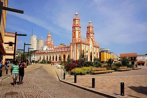
Day 4Santa Marta
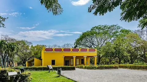
Quinta de San Pedro Alejandrino · Santa Marta Historic Center · Mercado Público de Santa Marta
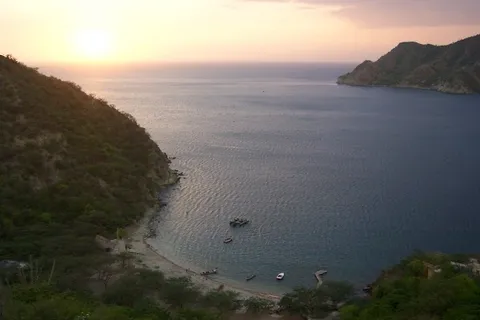
Day 5Santa Marta and Taganga half-day
Taganga · Bahía de Taganga Viewpoint · Lulo Cafe Bar
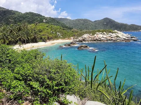
Day 6Tayrona: Bahía Concha or another officially open sector
Bahía Concha through currently authorized access · Prebooked Tayrona lodging meals
Day 7Tayrona: Neguanje or authorized maritime access, only if open
Neguanje or authorized maritime Tayrona visit · Prebooked Tayrona lodging/packed meals
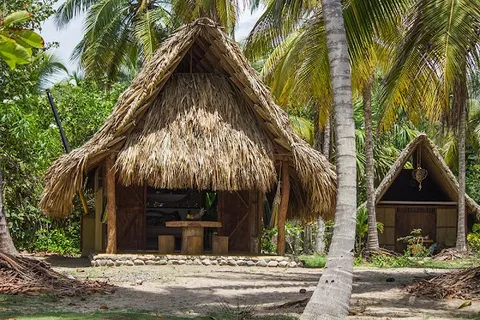
Day 8Tayrona to Palomino
Beach Time in Palomino · La Sirena
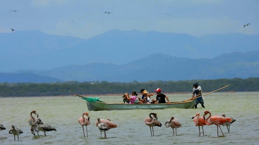
Day 9Palomino to Camarones / Los Flamencos
Community-led Los Flamencos visit · Community-arranged Camarones meal
Day 10Camarones to Riohacha
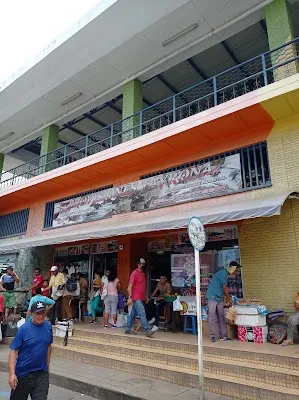
Wayuu Market in Riohacha · Riohacha Waterfront Promenade · La Casa del Marisco
Stops along the route


Things to Do

Show 2 more
Where to Eat

Nearby and similar drives
Frequently asked questions
How long is the Colombia Caribbean Coast drive?
The Colombia Caribbean Coast covers about 500 km including local access roads from start to finish.
How long does the Colombia Caribbean Coast take to drive?
Most travellers spend 10 days on the Colombia Caribbean Coast, depending on stops and pace.
When is the best time to drive the Colombia Caribbean Coast?
The recommended season for the Colombia Caribbean Coast is December-April.
Where does the Colombia Caribbean Coast start and end?
The Colombia Caribbean Coast runs from Cartagena to Riohacha.
What are the main stops on the Colombia Caribbean Coast?
The Colombia Caribbean Coast passes through Cartagena, Barranquilla, Parque Cultural del Caribe.
How difficult is the Colombia Caribbean Coast to drive?
The Colombia Caribbean Coast is rated moderate and is best handled with any vehicle.
Can I drive the Colombia Caribbean Coast in a regular car?
Yes — the Colombia Caribbean Coast is paved end-to-end and a regular car is fine in normal conditions.
Do I need a permit or border paperwork for the Colombia Caribbean Coast?
Yes — the Colombia Caribbean Coast requires permits, fees, or border paperwork. Plan ahead: Recheck Tayrona’s official access notice immediately before arrival. The 16 June 2026 notice kept the terrestrial Calabazo and Zaíno–Cañaveral sectors temporarily restricted while Bahía Concha, Neguanje and authorized maritime access remained open; this route therefore maps Bahía Concha rather than a closed terrestrial gate. Date-gate the visit against the park’s annual closures, prebook required entry/insurance/transport, obey Indigenous sacred-space rules, and swim only in authorized non-red-flag areas. Use the Puebloviejo nautical pier for any Ciénaga Grande community excursion, avoid night driving, and hire the required local guide at Los Flamencos.
How many fuel stops are needed on the Colombia Caribbean Coast?
Plan around 0 refuels (or about 1 EV charges) along the Colombia Caribbean Coast, based on its about 500 km including local access roads length.
Is the Colombia Caribbean Coast safe to drive?
Recheck Tayrona’s official access notice immediately before arrival. The 16 June 2026 notice kept the terrestrial Calabazo and Zaíno–Cañaveral sectors temporarily restricted while Bahía Concha, Neguanje and authorized maritime access remained open; this route therefore maps Bahía Concha rather than a closed terrestrial gate. Date-gate the visit against the park’s annual closures, prebook required entry/insurance/transport, obey Indigenous sacred-space rules, and swim only in authorized non-red-flag areas. Use the Puebloviejo nautical pier for any Ciénaga Grande community excursion, avoid night driving, and hire the required local guide at Los Flamencos.
What scenic tier is the Colombia Caribbean Coast?
The Colombia Caribbean Coast is a iconic drive — Iconic road trips that anchor a region's reputation — postcard scenery, headline highways, and the routes most travellers want to drive.