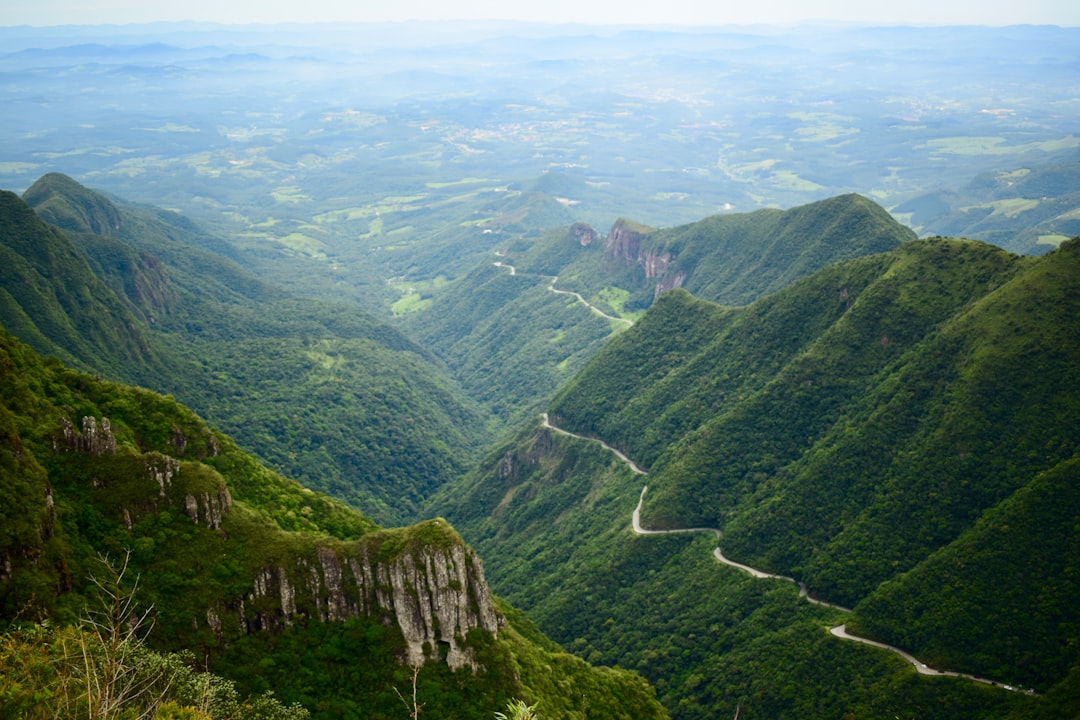
Serra do Rio do Rastro
Brazil
In short: Serra do Rio do Rastro is a 350 km scenic road trip in Brazil, typically driven over 3 days, best in Sep–Mar. Highlights: Florianópolis, Laguna, Lauro Müller.
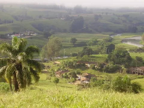
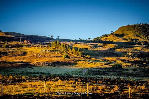
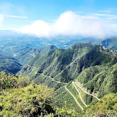
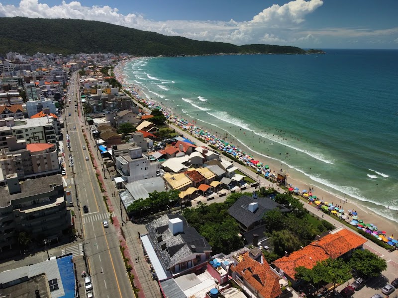
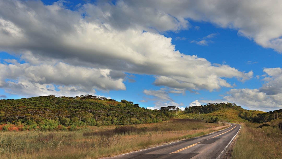
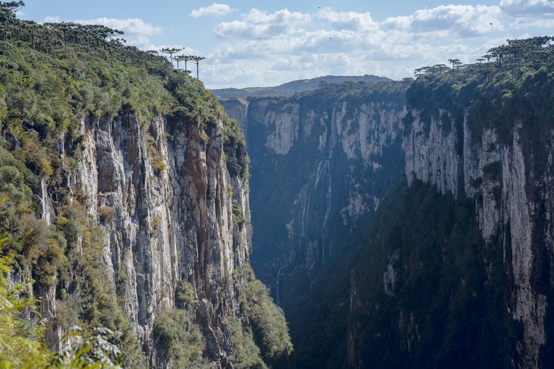
SC-438 climbs the Serra Geral escarpment in 18km of relentless hairpins, from the subtropical coastal plain to a cold gaucho plateau at 1400m. Above the clouds, apple orchards, frost-dusted dawns, and the sheer-walled canyons of Aparados da Serra await.
Make this route yours
Set your dates, pace, and taste, and RoadAtlas AI rebuilds this trip day by day with real, verified places.
Included with Traveler and Explorer plans.
Plan this trip
Third-party planning links may be affiliate links. RoadAtlas stays independent, and you should verify details with the provider.
Day-by-day itinerary
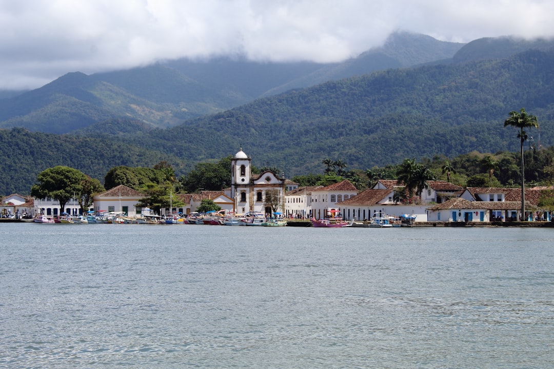
Day 1Florianópolis to Lauro Müller
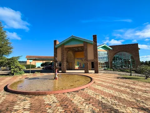
Praia do Mar Grosso · Museu Ferroviário de Lauro Müller · Restaurante do Porto
Day 2Lauro Müller, Serra do Rio do Rastro, Bom Jardim da Serra and São Joaquim
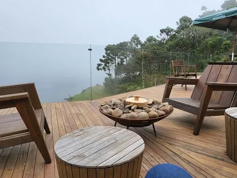
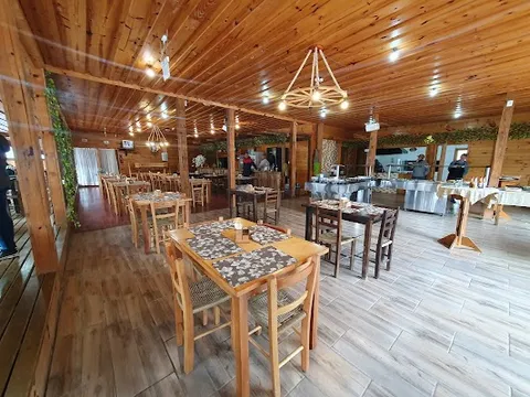
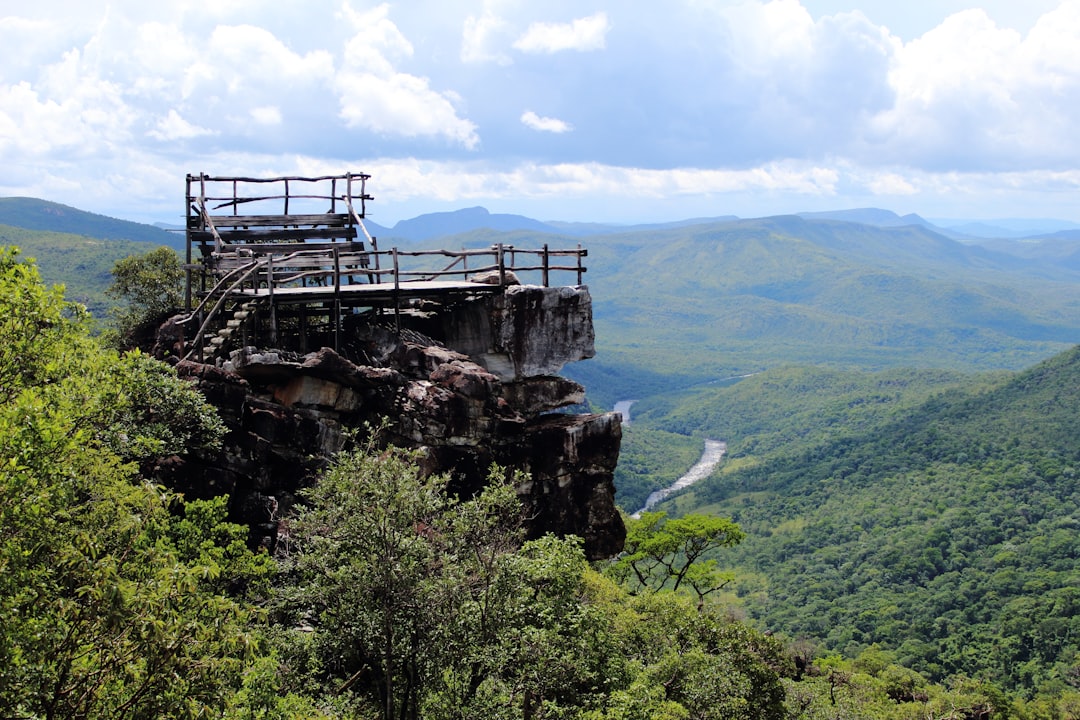
Mirante da Serra do Rio do Rastro · Vinícola Villa Francioni · Restaurante Serra do Rio do Rastro
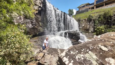
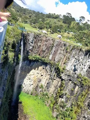
Day 3Urubici: prebooked Morro da Igreja and Cascata do Avencal
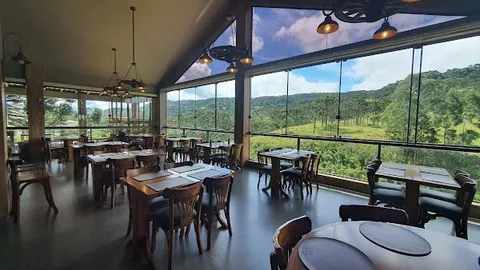
Cascata do Avencal · Morro da Igreja · Restaurante Morro da Igreja
Stops along the route
Things to Do


Where to Eat
Nearby and similar drives

Frequently asked questions
How long is the Serra do Rio do Rastro drive?
The Serra do Rio do Rastro covers 350 km from start to finish.
How long does the Serra do Rio do Rastro take to drive?
Most travellers spend 3 days on the Serra do Rio do Rastro, depending on stops and pace.
When is the best time to drive the Serra do Rio do Rastro?
The recommended season for the Serra do Rio do Rastro is Sep–Mar.
Where does the Serra do Rio do Rastro start and end?
The Serra do Rio do Rastro runs from Florianópolis to São Joaquim.
What are the main stops on the Serra do Rio do Rastro?
The Serra do Rio do Rastro passes through Florianópolis, Laguna, Lauro Müller.
How difficult is the Serra do Rio do Rastro to drive?
The Serra do Rio do Rastro is rated moderate and is best handled with any vehicle.
Can I drive the Serra do Rio do Rastro in a regular car?
Yes — the Serra do Rio do Rastro is paved end-to-end and a regular car is fine in normal conditions.
Do I need a permit or border paperwork for the Serra do Rio do Rastro?
Yes — the Serra do Rio do Rastro requires permits, fees, or border paperwork. Plan ahead: Prebook the Morro da Igreja vehicle slot using the current ICMBio form: one date/turn per vehicle, with required ticket pickup before the access gate. Check the pass, fog, wind, rain and closure status immediately before travel and drive the steep bends only in daylight. Day 2 stays on Serra do Rio do Rastro/Bom Jardim/São Joaquim; Avencal and Morro da Igreja have a separate Urubici day.
How many fuel stops are needed on the Serra do Rio do Rastro?
Plan around 0 refuels (or about 1 EV charges) along the Serra do Rio do Rastro, based on its 350 km length.
Is the Serra do Rio do Rastro EV friendly?
Yes — the Serra do Rio do Rastro has charger coverage along the route and works as an EV road trip.
Is the Serra do Rio do Rastro safe to drive?
Prebook the Morro da Igreja vehicle slot using the current ICMBio form: one date/turn per vehicle, with required ticket pickup before the access gate. Check the pass, fog, wind, rain and closure status immediately before travel and drive the steep bends only in daylight. Day 2 stays on Serra do Rio do Rastro/Bom Jardim/São Joaquim; Avencal and Morro da Igreja have a separate Urubici day.
What scenic tier is the Serra do Rio do Rastro?
The Serra do Rio do Rastro is a iconic drive — Iconic road trips that anchor a region's reputation — postcard scenery, headline highways, and the routes most travellers want to drive.