Aparados da Serra
Brazil
In short: Aparados da Serra is a 200 km scenic road trip in Brazil, typically driven over 2 days, best in Apr–Sep. Highlights: Porto Alegre, São Francisco de Paula, Cambará do Sul.
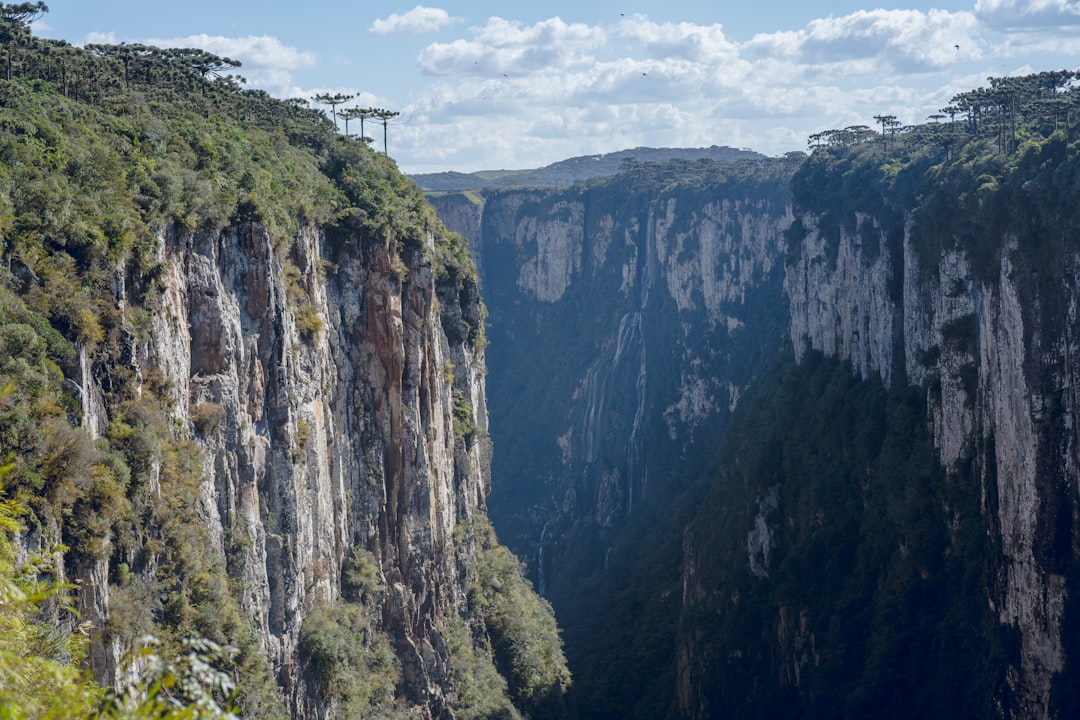
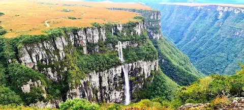
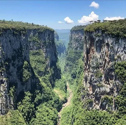
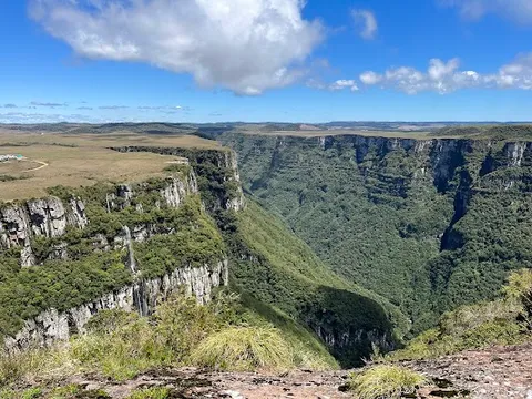
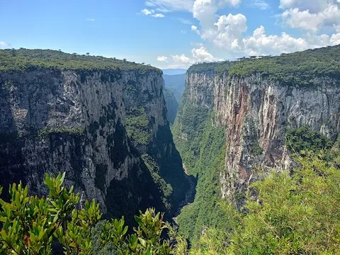
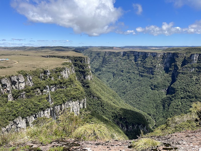
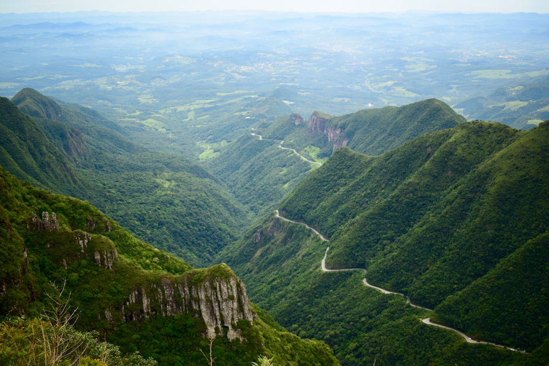
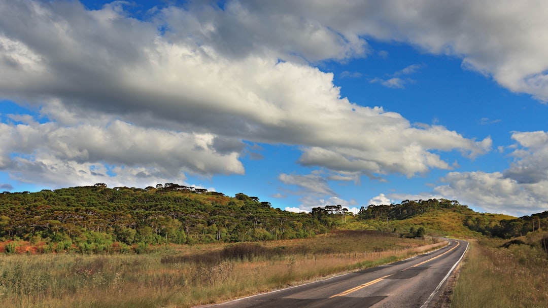
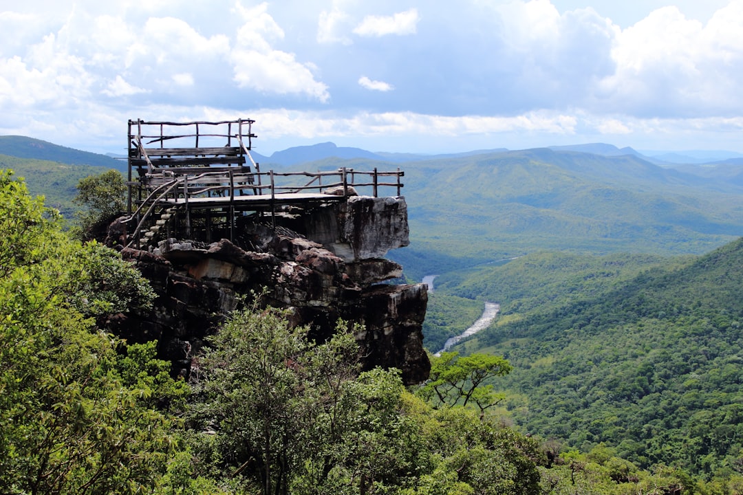
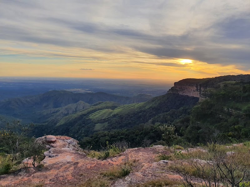
The Serra Geral escarpment splits the Rio Grande do Sul plateau with two of the deepest canyons in South America, Itaimbezinho (720m deep, 5.8km long) and Fortaleza (900m deep). The araucária pine forests above and the Atlantic Forest below create two entirely different worlds within 20km.
Make this route yours
Set your dates, pace, and taste, and RoadAtlas AI rebuilds this trip day by day with real, verified places.
Included with Traveler and Explorer plans.
Plan this trip
Third-party planning links may be affiliate links. RoadAtlas stays independent, and you should verify details with the provider.
Day-by-day itinerary
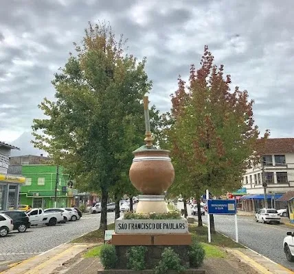
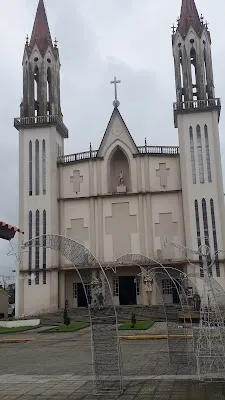
Day 1São Francisco de Paula approach, Cambará and Itaimbezinho/Cotovelo
Lago São Bernardo · Trilha do Cotovelo · Restaurante Casa de Pedra
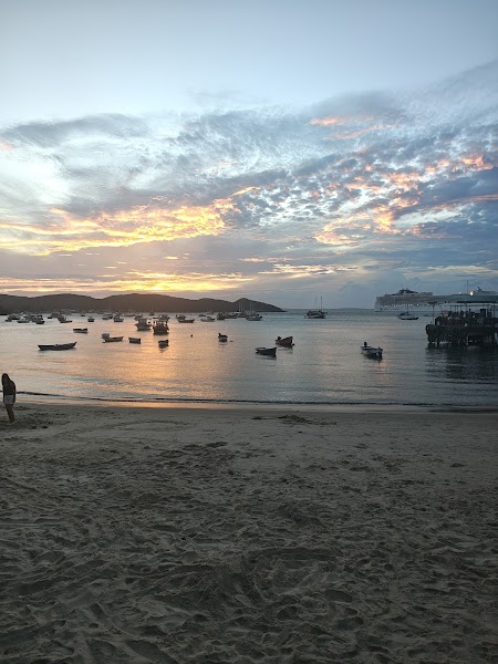
Day 2Fortaleza Canyon and descent to Praia Grande
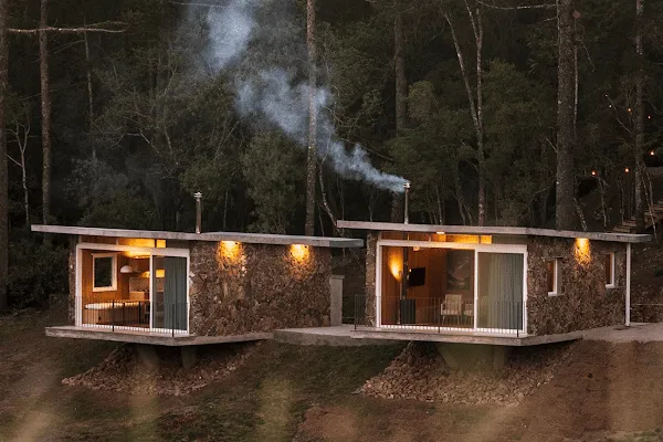
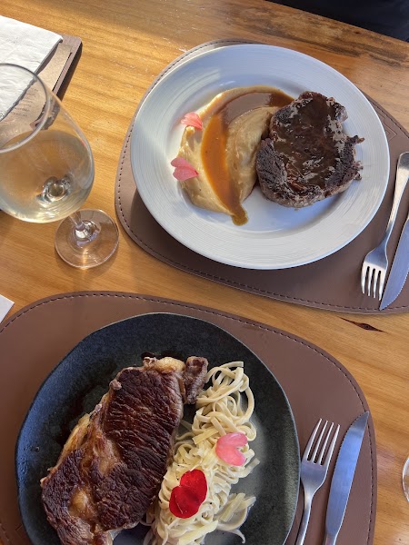
Fortaleza Canyon viewpoints · DC Bistrô at Discovery Canyon
Stops along the route
Things to Do
Where to Eat

Nearby and similar drives
Frequently asked questions
How long is the Aparados da Serra drive?
The Aparados da Serra covers 200 km from start to finish.
How long does the Aparados da Serra take to drive?
Most travellers spend 2 days on the Aparados da Serra, depending on stops and pace.
When is the best time to drive the Aparados da Serra?
The recommended season for the Aparados da Serra is Apr–Sep.
Where does the Aparados da Serra start and end?
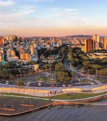
The Aparados da Serra runs from Porto Alegre to Praia Grande.
What are the main stops on the Aparados da Serra?
The Aparados da Serra passes through Porto Alegre, São Francisco de Paula, Cambará do Sul.
How difficult is the Aparados da Serra to drive?
The Aparados da Serra is rated moderate and is best handled with suv only.
Do I need a 4WD for the Aparados da Serra?
Yes — the Aparados da Serra includes off-road or rough sections that require suv only.
Do I need a permit or border paperwork for the Aparados da Serra?
Yes — the Aparados da Serra requires permits, fees, or border paperwork. Plan ahead: Book the current concession/official ticket that explicitly covers the selected Itaimbezinho and Fortaleza access; do not rely on a blanket Monday rule. Check fog, wind, rain, trail and access-road status the same day. Reach Cambará early enough for Itaimbezinho/Cotovelo on day 1, then use day 2 for Fortaleza and the descent. Rio do Boi/Malacara requires a separate guided third day.
Is the Aparados da Serra safe to drive?
Book the current concession/official ticket that explicitly covers the selected Itaimbezinho and Fortaleza access; do not rely on a blanket Monday rule. Check fog, wind, rain, trail and access-road status the same day. Reach Cambará early enough for Itaimbezinho/Cotovelo on day 1, then use day 2 for Fortaleza and the descent. Rio do Boi/Malacara requires a separate guided third day.
What scenic tier is the Aparados da Serra?
The Aparados da Serra is a iconic drive — Iconic road trips that anchor a region's reputation — postcard scenery, headline highways, and the routes most travellers want to drive.