Santo Antão Island Crossing — Cape Verde — Scenic
Africa

Santo Antão Island Crossing

Cape Verde

Point-to-point
Porto Novo Fontainhas

In short: Santo Antão Island Crossing is a 62 km scenic road trip in Cape Verde, typically driven over 2 days, best in October to June. Highlights: Porto Novo, Corda, Cova crater.

Distance
62 km
Duration
2 days
Best Season
October to June
IconicModerateScenicGuide recommended

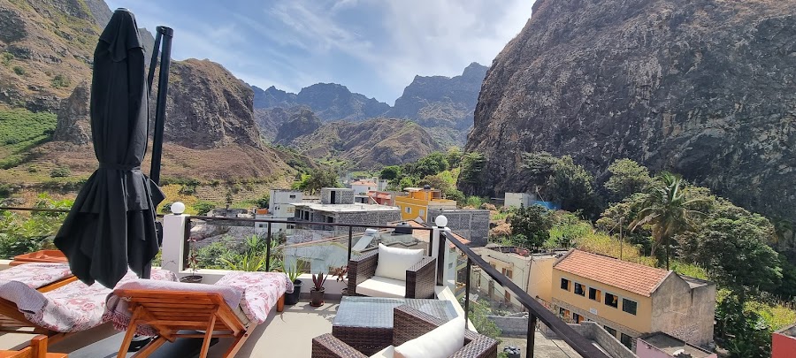
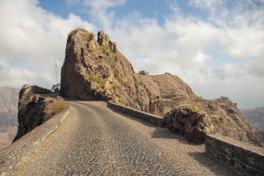
This island crossing follows Santo Antão’s dramatic north-to-south mountain roads from the ferry port at Porto Novo up through the cratered highlands to the lush valley country around Ribeira Grande, continuing on to Ponta do Sol and the cliffside village of Fontainhas. Expect plunging views, terraced slopes, and some of Cape Verde’s most memorable switchbacks.

Practical notes
Santo Antão has no airport: verify the current São Vicente ferry in both directions and keep an overnight buffer for wind or cancellation. Prearrange an island driver, taxi or aluguer and do not assume a one-day ferry connection can absorb long hikes. Mountain roads are exposed and trails can be steep, hot, wet or fogbound; check weather, use proper footwear, carry water, and hire a local hiking guide for the Cova–Paúl descent.

Make this route yours

Set your dates, pace, and taste, and RoadAtlas AI rebuilds this trip day by day with real, verified places.

Included with Traveler and Explorer plans.

Explore on the interactive map →

Plan this trip

Third-party planning links may be affiliate links. RoadAtlas stays independent, and you should verify details with the provider.

Day-by-day itinerary

Day 1Porto Novo old road, Cova and Ribeira Grande

Cova crater and short Cova–Paúl section · Cova - Paúl - Ribeira da Torre Natural Park · Cantinho de Amizade

Day 2Paul Valley to Ponta do Sol and Fontainhas

Paul Valley Hiking Trails · Ponta do Sol · Caleta Ponta do Sol

Stops along the route

Porto Novo — Departure — Santo Antão Island Crossing — Cape Verde
Departure
Porto Novo
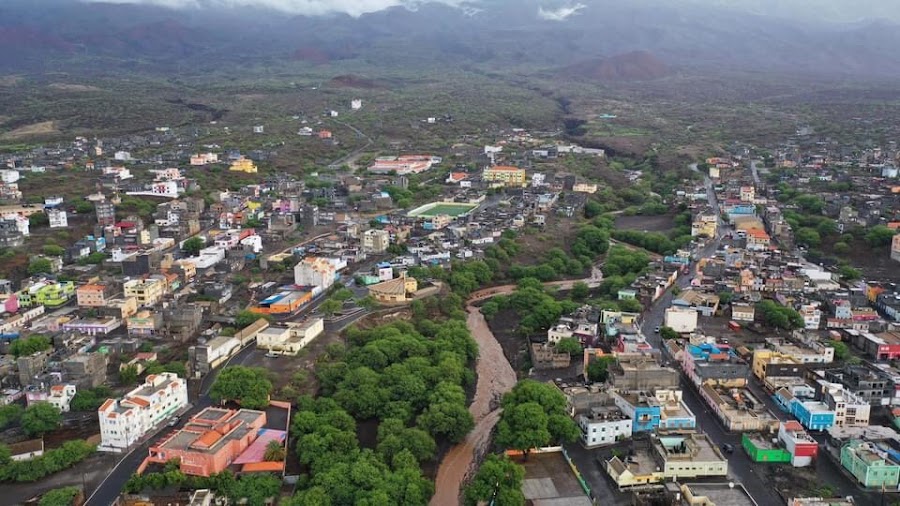
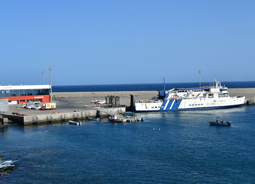
Start at the island's busy ferry port and climb straight into the hills. Fishing boats, dry slopes, and deep coastal views set the tone.
Ribeira Grande — City — Santo Antão Island Crossing — Cape Verde
City
Ribeira Grande
The route drops into the island's greenest main town and valley hub. Stone lanes, palms, and mountain walls make a lush contrast.
Paul — City — Santo Antão Island Crossing — Cape Verde
City
Paul
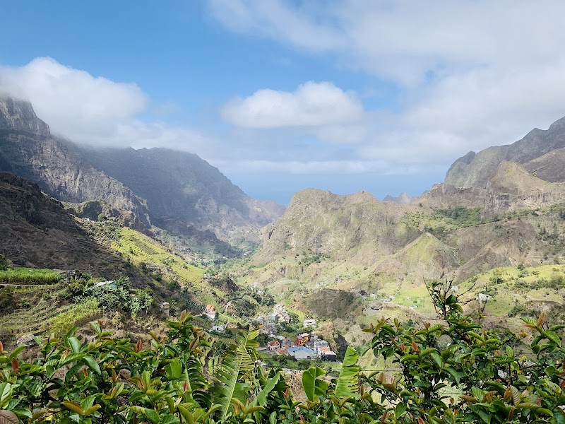
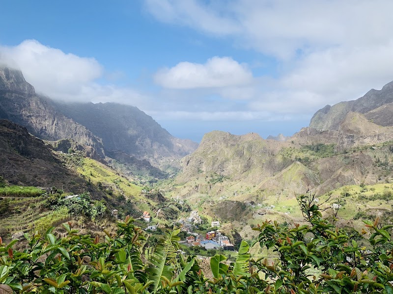
A laid-back valley town below steep green slopes. It is a gentle waypoint after the island's toughest climbs.
Ponta do Sol — City — Santo Antão Island Crossing — Cape Verde
City
Ponta do Sol
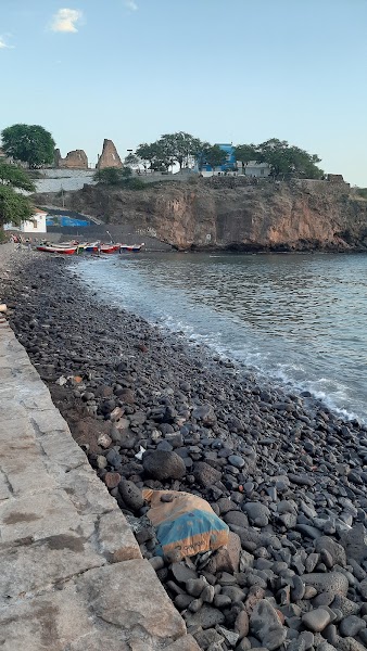
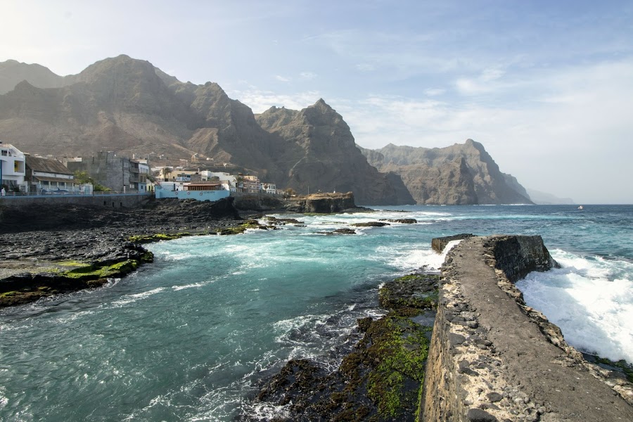
A bright waterfront town at the island's northeast tip. It is a lively base for coffee, walking, and coastal views before the final push.
Fontainhas — Arrival — Santo Antão Island Crossing — Cape Verde
Arrival
Fontainhas
End at Santo Antão's most photographed cliff village, its stacked houses perched above the sea. It is a fitting finale to the crossing.

Things to Do

Corda — Landmark — Santo Antão Island Crossing — Cape Verde
Landmark
Corda
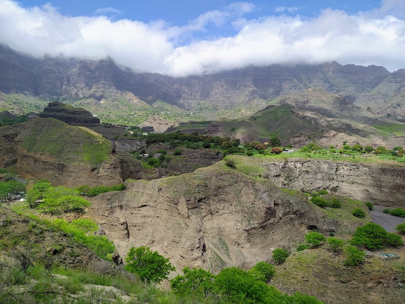
A mountain junction on the ascent where the road first opens onto sweeping highland views. It is a classic first pause on the climb toward Cova.
Cova crater — Landmark — Santo Antão Island Crossing — Cape Verde
Landmark
Cova crater
This huge volcanic bowl sits high on the spine of the island. From the rim, the switchbacks and cloud-brushed slopes feel endless.
Pico da Cruz — Nature — Santo Antão Island Crossing — Cape Verde
Nature
Pico da Cruz
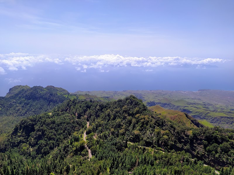
The road reaches cool highland scenery with pine trees and sweeping ridge views. On clear days, the north coast drops away below.
Paul Valley — Nature — Santo Antão Island Crossing — Cape Verde
Nature
Paul Valley
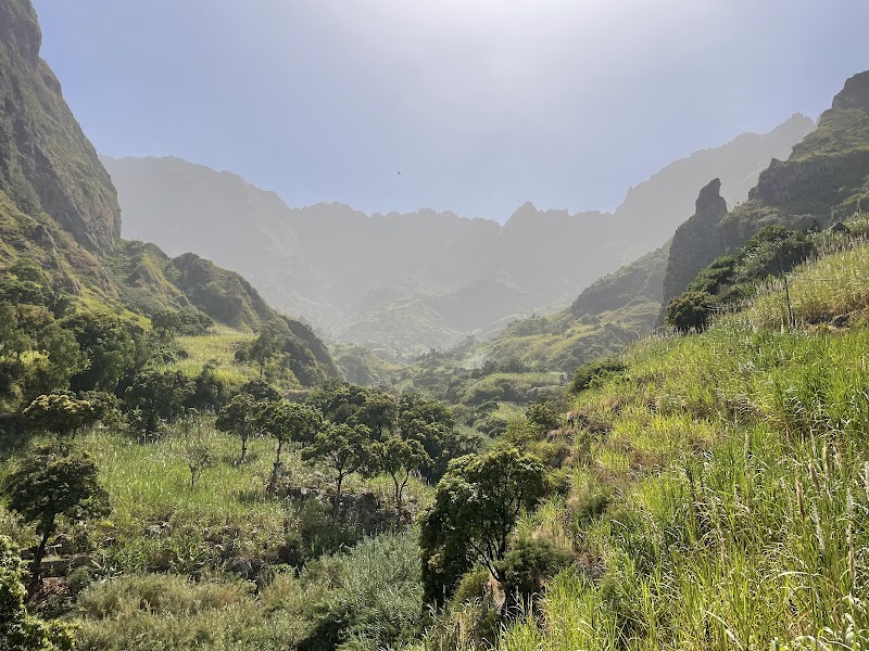
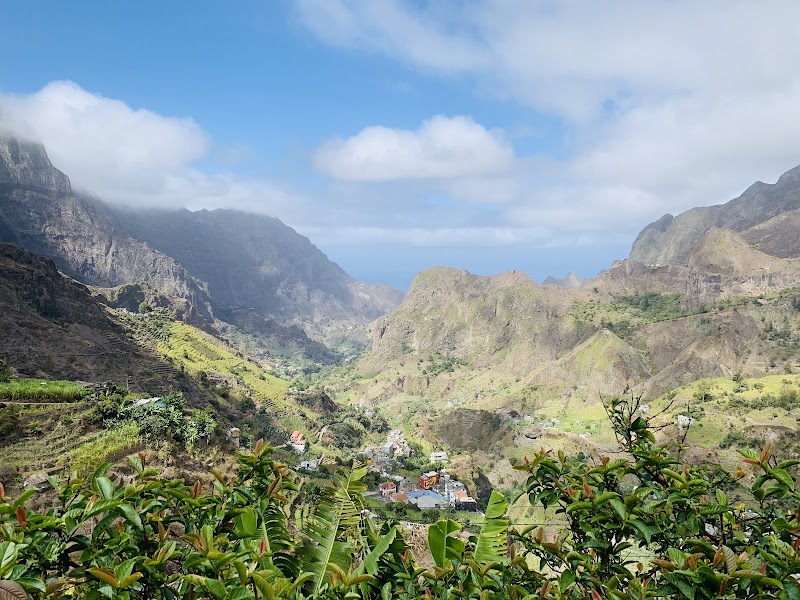
Terraced hillsides and banana groves fill this fertile valley on the northeast side. It is one of Santo Antão's most beautiful finishes.
Cova - Paúl - Ribeira da Torre Natural Park — nature reserve — Santo Antão Island Crossing — Cape Verde
nature reserve
Cova - Paúl - Ribeira da Torre Natural Park
Walk the crater rim and look across one of the island's best mountain panoramas. The views connect the route's high point with the lush valleys below.
Fontainhas Viewpoint — viewpoint — Santo Antão Island Crossing — Cape Verde
viewpoint
Fontainhas Viewpoint
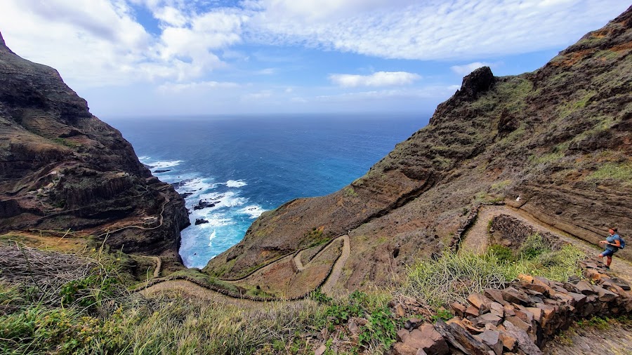
Stop for the famous cliff village overlook above the north coast road. The stacked houses and sea cliffs make a classic Santo Antão photo.
Show 2 more
Ponta do Sol — town — Santo Antão Island Crossing — Cape Verde
town
Ponta do Sol
Explore the bright waterfront town at the island's northeast edge. It is a lively base for coffee, walking, and coastal views.
Paul Valley Hiking Trails — hiking — Santo Antão Island Crossing — Cape Verde
hiking
Paul Valley Hiking Trails
Take a short walk through terraces, cane fields, and banana groves. The valley trails are an easy way to enjoy the island's green side.

Where to Eat

Cantinho de Amizade — Cape Verdean — Santo Antão Island Crossing — Cape Verde
Cape Verdean
Cantinho de Amizade
A named lunch in the Ribeira Grande/Paúl part of the crossing; confirm exact hours.
Caleta Ponta do Sol — Cape Verdean seafood — Santo Antão Island Crossing — Cape Verde
Cape Verdean seafood
Caleta Ponta do Sol
A named Ponta do Sol dinner near the second overnight; reserve ahead.

Nearby and similar drives

Frequently asked questions

How long is the Santo Antão Island Crossing drive?

The Santo Antão Island Crossing covers 62 km from start to finish.

How long does the Santo Antão Island Crossing take to drive?

Most travellers spend 2 days on the Santo Antão Island Crossing, depending on stops and pace.

When is the best time to drive the Santo Antão Island Crossing?

The recommended season for the Santo Antão Island Crossing is October to June.

Where does the Santo Antão Island Crossing start and end?

The Santo Antão Island Crossing runs from Porto Novo to Fontainhas.

What are the main stops on the Santo Antão Island Crossing?

The Santo Antão Island Crossing passes through Porto Novo, Corda, Cova crater.

How difficult is the Santo Antão Island Crossing to drive?

The Santo Antão Island Crossing is rated moderate and is best handled with any vehicle.

Can I drive the Santo Antão Island Crossing in a regular car?

Yes — the Santo Antão Island Crossing is paved end-to-end and a regular car is fine in normal conditions.

Is the Santo Antão Island Crossing safe to drive?

Santo Antão has no airport: verify the current São Vicente ferry in both directions and keep an overnight buffer for wind or cancellation. Prearrange an island driver, taxi or aluguer and do not assume a one-day ferry connection can absorb long hikes. Mountain roads are exposed and trails can be steep, hot, wet or fogbound; check weather, use proper footwear, carry water, and hire a local hiking guide for the Cova–Paúl descent.

What scenic tier is the Santo Antão Island Crossing?

The Santo Antão Island Crossing is a iconic drive — Iconic road trips that anchor a region's reputation — postcard scenery, headline highways, and the routes most travellers want to drive.