Clarence Drive
South Africa
In short: Clarence Drive is a 96 km scenic road trip in South Africa, typically driven over 1–2 days, best in Sep–Nov / year-round. Highlights: Gordon's Bay, Rooi-Els, Stoney Point Penguin Colony.
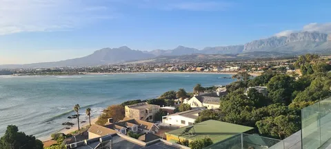
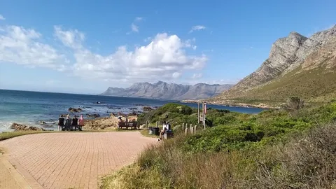
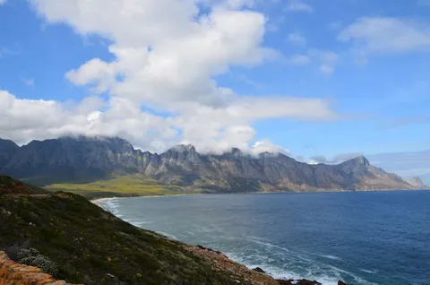
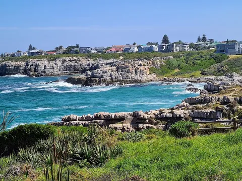
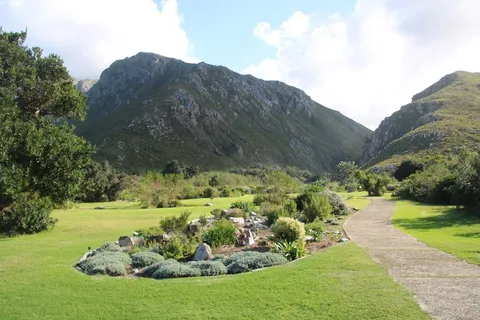
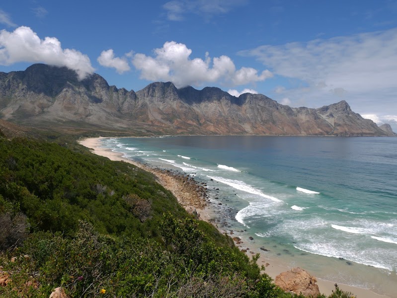
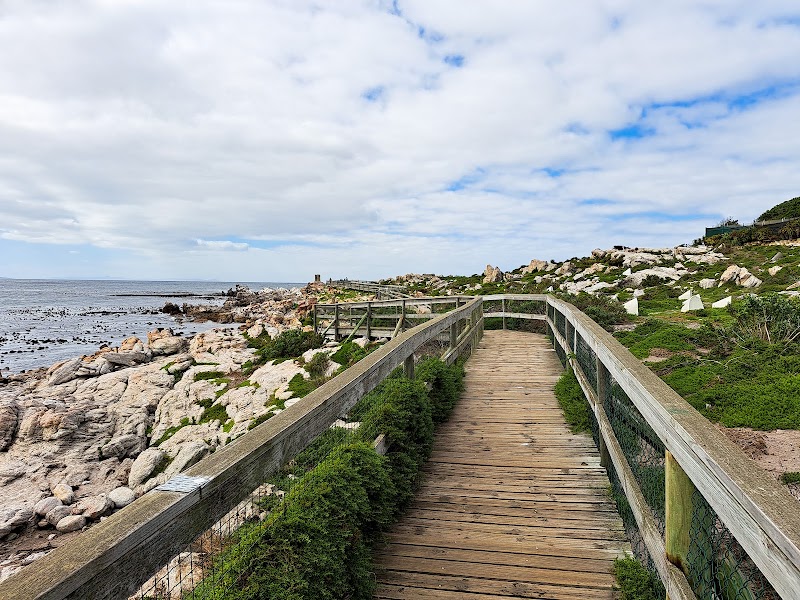
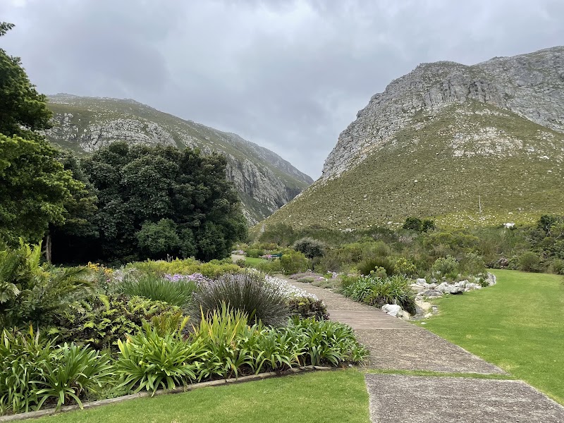
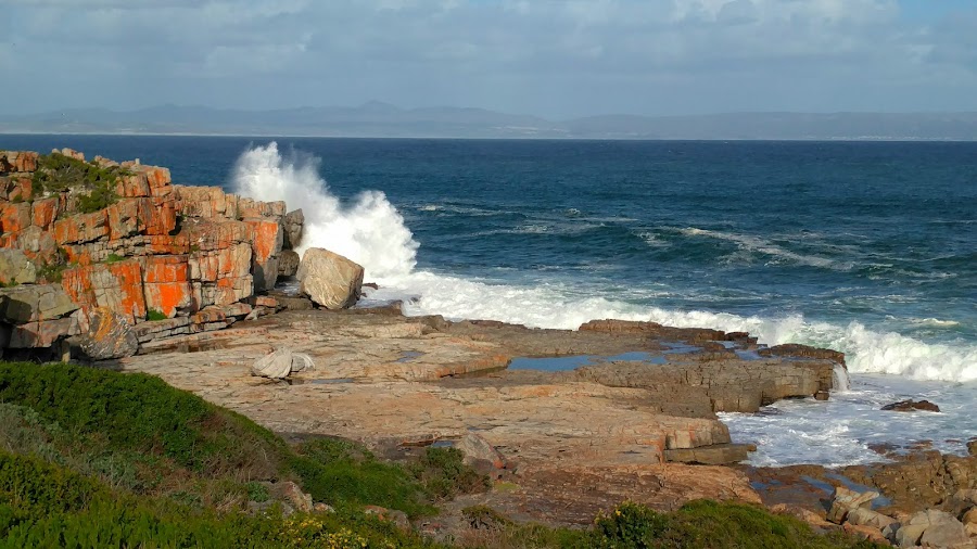
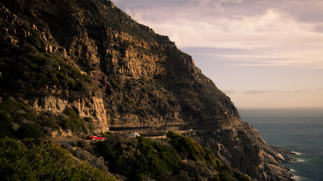
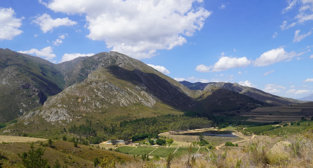
The R44 (Clarence Drive) from Gordon's Bay to Kleinmond, continuing on the R43 to Hermanus, hugs the Kogelberg coastline, mountain cliffs plunging to turquoise sea, fynbos slopes, penguin colonies, and the world's finest shore-based whale watching.
Make this route yours
Set your dates, pace, and taste, and RoadAtlas AI rebuilds this trip day by day with real, verified places.
Included with Traveler and Explorer plans.
Plan this trip
Third-party planning links may be affiliate links. RoadAtlas stays independent, and you should verify details with the provider.
Day-by-day itinerary
Day 1Clarence Drive corridor to Hermanus
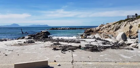
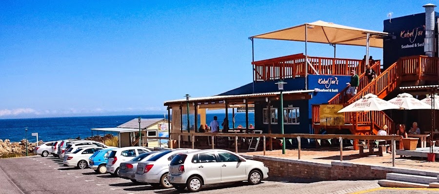
Clarence Drive marked scenic lay-bys · Stony Point Penguin Colony · KabelJoe's Seafood Restaurant
Stops along the route
Things to Do
Where to Eat

Nearby and similar drives

Frequently asked questions
How long is the Clarence Drive drive?
The Clarence Drive covers 96 km from start to finish.
How long does the Clarence Drive take to drive?
Most travellers spend 1–2 days on the Clarence Drive, depending on stops and pace.
When is the best time to drive the Clarence Drive?
The recommended season for the Clarence Drive is Sep–Nov / year-round.
Where does the Clarence Drive start and end?
The Clarence Drive runs from Gordon's Bay to Hermanus.
What are the main stops on the Clarence Drive?
The Clarence Drive passes through Gordon's Bay, Rooi-Els, Stoney Point Penguin Colony.
How difficult is the Clarence Drive to drive?
The Clarence Drive is rated easy and is best handled with any vehicle.
Can I drive the Clarence Drive in a regular car?
Yes — the Clarence Drive is paved end-to-end and a regular car is fine in normal conditions.
Is the Clarence Drive EV friendly?
Yes — the Clarence Drive has charger coverage along the route and works as an EV road trip.
Is the Clarence Drive safe to drive?
The R44 is paved and easy in normal conditions, but it runs close to exposed cliffs and can feel slick in wind, fog, or winter rain. Summer weekends bring heavy traffic around Betty’s Bay and Hermanus, so start early and watch for pedestrians, cyclists, and slow-moving sightseeing cars. This stretch also has a history of storm-triggered rockfalls and mudslides that can close it outright or force hours of stop-and-go traffic control, so check current road status before departure; the fallback to Hermanus is the Sir Lowry’s Pass / N2 detour via Botrivier. Chacma baboon troops frequent the roadside between Rooi-Els, Pringle Bay, and Betty’s Bay: keep windows up and food out of sight, and never feed or approach them.
What scenic tier is the Clarence Drive?
The Clarence Drive is a iconic drive — Iconic road trips that anchor a region's reputation — postcard scenery, headline highways, and the routes most travellers want to drive.