Noto Peninsula Recovery Loop — Japan — Scenic
East Asia

Noto Peninsula Recovery Loop

Japan

Loop / circuit
Loop from Kanazawa

In short: Noto Peninsula Recovery Loop is a 460 km plus local detours scenic road trip in Japan, typically driven over 5 days, best in May–Oct. Highlights: Kanazawa, Chirihama and Shika, Wajima Recovery Stops.

Distance
460 km plus local detours
Duration
5 days
Best Season
May–Oct
IconicEasyScenicEV-friendly

A clockwise, recovery-aware circuit from Kanazawa through Chirihama and Shika to Wajima, Cape Rokkosaki, Suzu, Nanao, and Wakura, designed around businesses and cultural sites that have reopened while clearly acknowledging continuing reconstruction.

~0 refuels
~1 charge
Practical notes
Recovery warning, checked 13 July 2026: the 1 January 2024 earthquake and September 2024 floods still affect roads, accommodation, restaurants, toilets, and attractions across Wajima, Suzu, Noto, and Anamizu. Even open roads can be uneven, narrowed, or under alternating traffic, and northern outer-coast sections may remain closed to general vehicles. Immediately before travel, verify every day's road with Ishikawa Michi Information, every Wajima stop and lodging with Wajima Navi, and the current Noto facility-status list at hot-ishikawa.jp; reserve all northern overnights and meals directly. Do not enter work zones, photograph residents' damaged property, or consume scarce local services without supporting open businesses. Chirihama closes for unsafe tide or waves, winter snow and strong wind add risk, fuel is sparse in Okunoto, and the itinerary must be shortened or abandoned if official access changes.

Make this route yours

Set your dates, pace, and taste, and RoadAtlas AI rebuilds this trip day by day with real, verified places.

Included with Traveler and Explorer plans.

Explore on the interactive map →

Plan this trip

Third-party planning links may be affiliate links. RoadAtlas stays independent, and you should verify details with the provider.

Day-by-day itinerary

Day 1Kanazawa to Chirihama and Shika (~110 km)

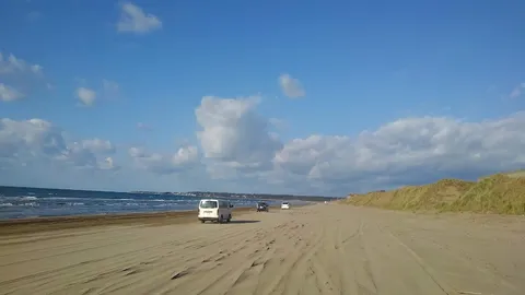
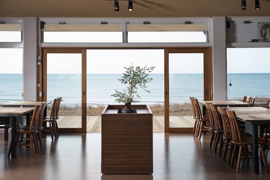
Chirihama Nagisa Driveway · Ganmon coast · Hamayaki Noto Fudo, Chirihama

Day 2Shika to Wajima (~80 km; recovery roads)

Travelling Wajima Morning Market at Wai Plaza · Ishikawa Wajima Urushi Art Museum · Utsuwa no Mi Café

Day 3Wajima to Shiroyone, Cape Rokkosaki, and Suzu (~120 km; route-dependent)

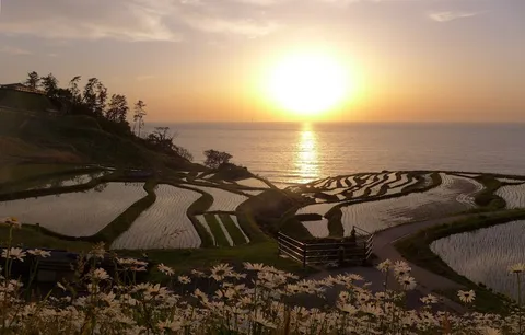
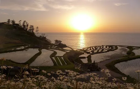
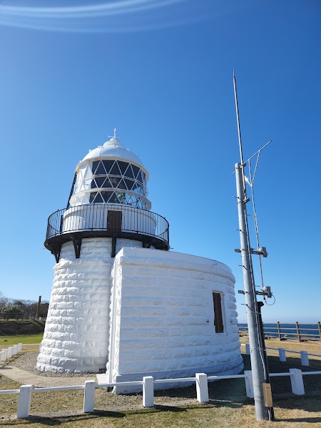
Shiroyone Senmaida Rice Terraces · Cape Rokkosaki Lighthouse · Shiosai Restaurant

Day 4Suzu to Noto Town, Anamizu, and Nanao (~145 km)

Roadside Station Anamizu · Noto Shokusai Market · Café & Charcoal Grill Nagisa Garden

Day 5Nanao and Wakura to Kanazawa (~90 km plus Notojima detour)

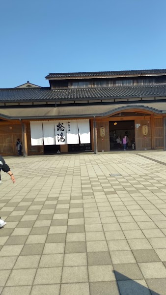
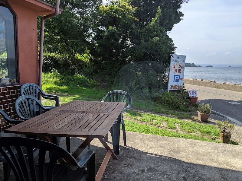
Notojima Aquarium · Wakura Onsen Soyu · Haikara Shokudo

Stops along the route
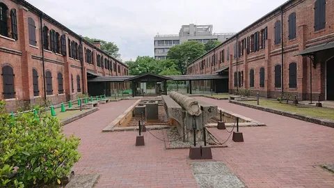
Kanazawa — Departure — Noto Peninsula Recovery Loop — Japan
Departure
Kanazawa
Japan's finest surviving castle city: Kenroku-en garden, geisha districts, and a samurai quarter all within walking distance.
Hotels
Wajima Recovery Stops — City — Noto Peninsula Recovery Loop — Japan
City
Wajima Recovery Stops
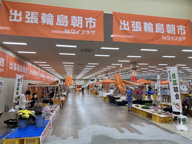
Visit reopened lacquer institutions and the relocated travelling morning market with humility; the original Asaichi street was destroyed and remains a reconstruction area.
Suzu Recovery Businesses — City — Noto Peninsula Recovery Loop — Japan
City
Suzu Recovery Businesses
Support the reopened Suzunari shops and restaurants, while recognising that salt facilities, museums, and lodging may still be closed or restricted.
Nanao and Wakura — City — Noto Peninsula Recovery Loop — Japan
City
Nanao and Wakura
Complete the east-coast side through Anamizu to Nanao, where the aquarium, selected restaurants, and Wakura's public bath have reopened amid continuing recovery.
Kanazawa — Arrival — Noto Peninsula Recovery Loop — Japan
Arrival
Kanazawa
Close the clockwise circuit after a daylight return from Nanao, keeping a substantial margin for work traffic and road restrictions.
Hotels

Things to Do

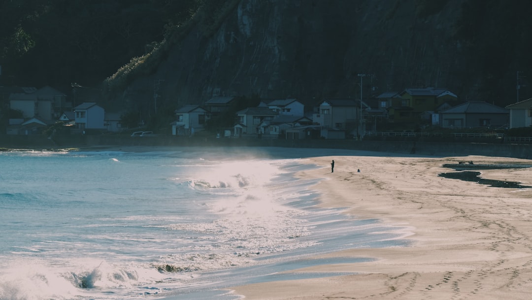
Chirihama and Shika — Nature — Noto Peninsula Recovery Loop — Japan
Nature
Chirihama and Shika
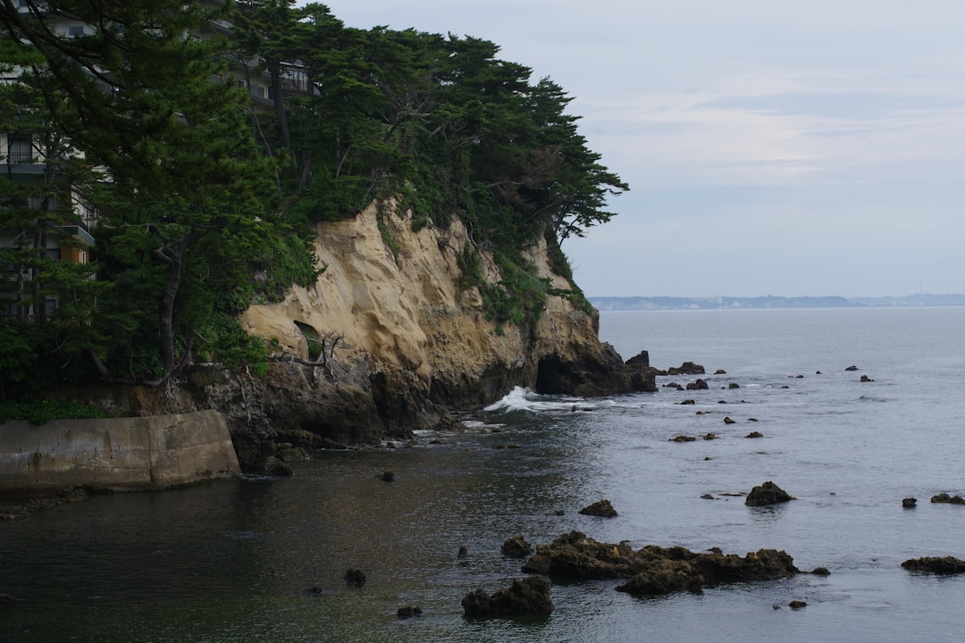
Use the hard-packed beach road only when the live official status shows it open, then continue to the reopened Ganmon coast and an overnight in Shika.
Shiroyone Senmaida — Nature — Noto Peninsula Recovery Loop — Japan
Nature
Shiroyone Senmaida
The restored coastal terraces can be viewed only when official access is open. Pocket Park service days have changed repeatedly, so confirm them directly.
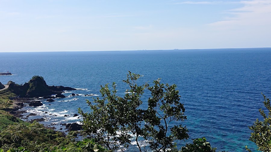
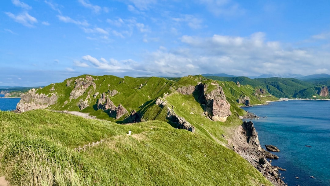
Cape Rokkosaki — Nature — Noto Peninsula Recovery Loop — Japan
Nature
Cape Rokkosaki
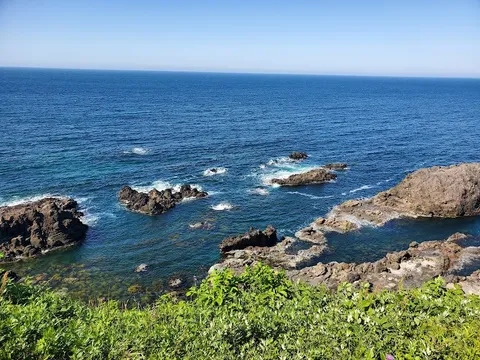
Walk to the lighthouse at the peninsula's tip only by an officially open approach; do not improvise along closed outer-coast roads.
Travelling Wajima Morning Market at Wai Plaza — Recovery market — Noto Peninsula Recovery Loop — Japan
Recovery market
Travelling Wajima Morning Market at Wai Plaza
Visit the relocated market currently operating at Wai Plaza Wajima and buy directly from returning vendors; verify the event date on Wajima Navi.
Ishikawa Wajima Urushi Art Museum — Museum — Noto Peninsula Recovery Loop — Japan
Museum
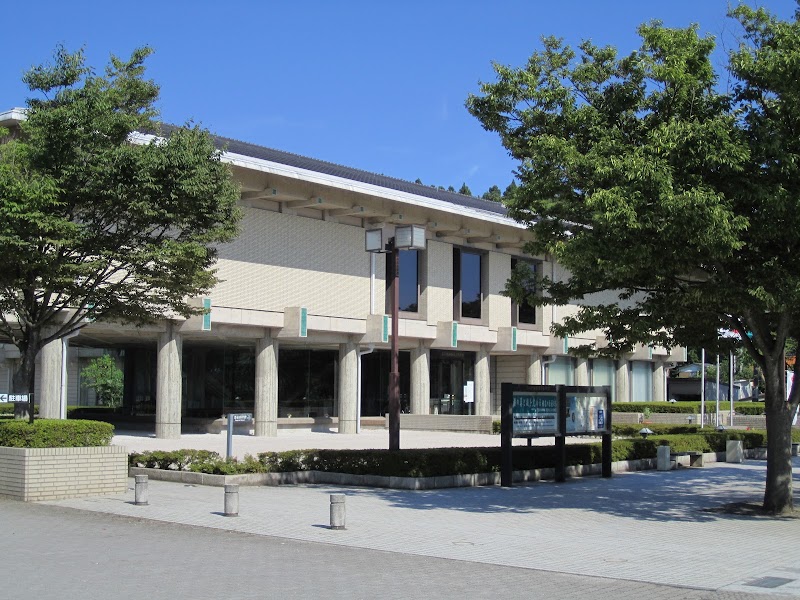
Ishikawa Wajima Urushi Art Museum
See lacquer art at a reopened institution and check the same-day exhibition notice before visiting.
Shiroyone Senmaida Rice Terraces — Recovery landscape — Noto Peninsula Recovery Loop — Japan
Recovery landscape
Shiroyone Senmaida Rice Terraces
View the coastal terraces only from authorised open areas and confirm Pocket Park service; do not enter fields or work zones.
Show 3 more
Cape Rokkosaki Lighthouse — Coastal walk — Noto Peninsula Recovery Loop — Japan
Coastal walk
Cape Rokkosaki Lighthouse
Use the signed open route from Noroshi and turn back if closures or reconstruction signage block the approach.
Notojima Aquarium — Aquarium — Noto Peninsula Recovery Loop — Japan
Aquarium
Notojima Aquarium
The aquarium has reopened, but some facilities and the Twin Bridge remain affected; verify the permitted road approach before crossing to the island.
Wakura Onsen Soyu — Public bath — Noto Peninsula Recovery Loop — Japan
Public bath
Wakura Onsen Soyu
Use the reopened public bath rather than implying that the entire resort or every ryokan is operating. Check current admission hours.

Where to Eat

Hamayaki Noto Fudo, Chirihama — Grilled Noto seafood — Noto Peninsula Recovery Loop — Japan
Grilled Noto seafood
Hamayaki Noto Fudo, Chirihama
A named restaurant at Noto Chirihama Rest House, listed open daily in the July 2026 prefectural status sheet; verify hours before relying on it.
Utsuwa no Mi Café — Café lunch — Noto Peninsula Recovery Loop — Japan
Café lunch
Utsuwa no Mi Café
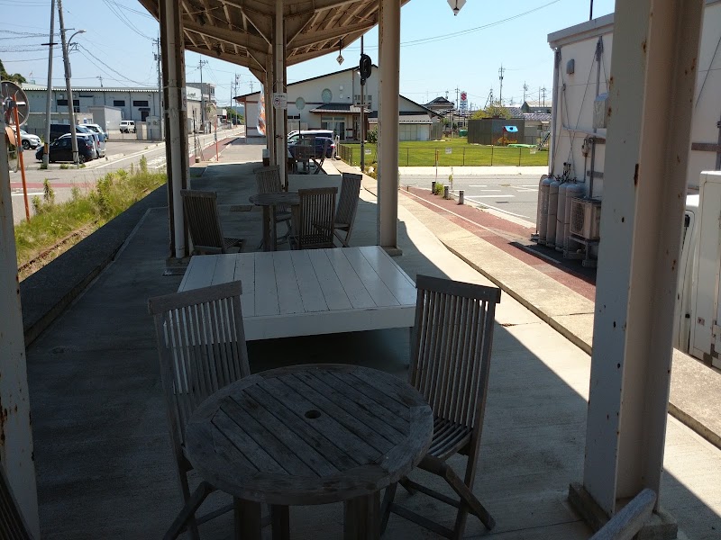
One of the named businesses operating at Roadside Station Wajima in the July 2026 status list, with short daytime hours and irregular closures.
Shiosai Restaurant — Noto seasonal cuisine — Noto Peninsula Recovery Loop — Japan
Noto seasonal cuisine
Shiosai Restaurant
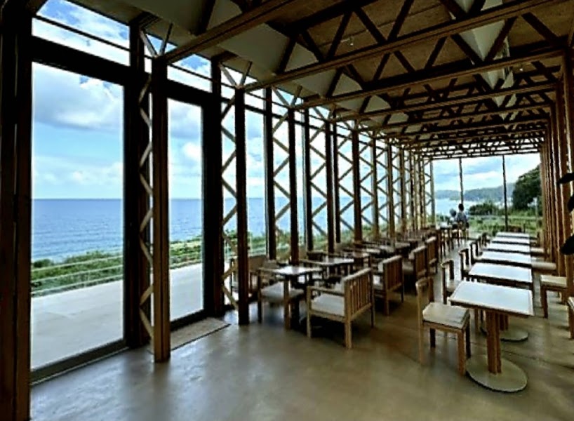
A Suzu restaurant reopened after the earthquake and floods, serving local ingredients with sea views; call or check its official page before the long north-coast day.
Suzunari Shokudo — Suzu regional dishes — Noto Peninsula Recovery Loop — Japan
Suzu regional dishes
Suzunari Shokudo
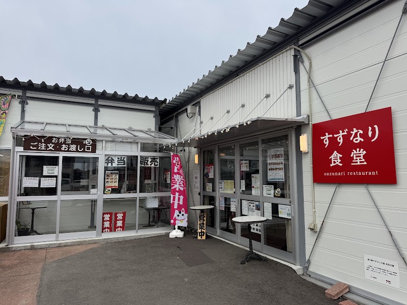
A named recovery-era restaurant beside Roadside Station Suzunari; operating days can change, so pair it with a confirmed packed-food fallback.
Daisho Sushi — Nanao sushi — Noto Peninsula Recovery Loop — Japan
Nanao sushi
Daisho Sushi
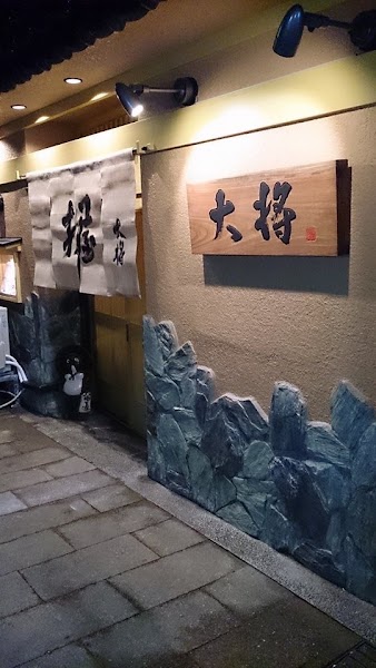
A reservation-required Nanao counter using fish from local set nets and Nanao rice; confirm directly because recovery conditions remain changeable.
Haikara Shokudo — Notojima western-style local food — Noto Peninsula Recovery Loop — Japan
Notojima western-style local food
Haikara Shokudo
A small Notojima restaurant using island produce, normally closed Tuesdays; call ahead before making it the aquarium-day lunch.

Nearby and similar drives

Frequently asked questions

How long is the Noto Peninsula Recovery Loop drive?

The Noto Peninsula Recovery Loop covers 460 km plus local detours from start to finish.

How long does the Noto Peninsula Recovery Loop take to drive?

Most travellers spend 5 days on the Noto Peninsula Recovery Loop, depending on stops and pace.

When is the best time to drive the Noto Peninsula Recovery Loop?

The recommended season for the Noto Peninsula Recovery Loop is May–Oct.

What are the main stops on the Noto Peninsula Recovery Loop?

The Noto Peninsula Recovery Loop passes through Kanazawa, Chirihama and Shika, Wajima Recovery Stops.

How difficult is the Noto Peninsula Recovery Loop to drive?

The Noto Peninsula Recovery Loop is rated easy and is best handled with any vehicle.

Can I drive the Noto Peninsula Recovery Loop in a regular car?

Yes — the Noto Peninsula Recovery Loop is paved end-to-end and a regular car is fine in normal conditions.

How many fuel stops are needed on the Noto Peninsula Recovery Loop?

Plan around 0 refuels (or about 1 EV charges) along the Noto Peninsula Recovery Loop, based on its 460 km plus local detours length.

Is the Noto Peninsula Recovery Loop EV friendly?

Yes — the Noto Peninsula Recovery Loop has charger coverage along the route and works as an EV road trip.

Is the Noto Peninsula Recovery Loop safe to drive?

Recovery warning, checked 13 July 2026: the 1 January 2024 earthquake and September 2024 floods still affect roads, accommodation, restaurants, toilets, and attractions across Wajima, Suzu, Noto, and Anamizu. Even open roads can be uneven, narrowed, or under alternating traffic, and northern outer-coast sections may remain closed to general vehicles. Immediately before travel, verify every day's road with Ishikawa Michi Information, every Wajima stop and lodging with Wajima Navi, and the current Noto facility-status list at hot-ishikawa.jp; reserve all northern overnights and meals directly. Do not enter work zones, photograph residents' damaged property, or consume scarce local services without supporting open businesses. Chirihama closes for unsafe tide or waves, winter snow and strong wind add risk, fuel is sparse in Okunoto, and the itinerary must be shortened or abandoned if official access changes.

What scenic tier is the Noto Peninsula Recovery Loop?

The Noto Peninsula Recovery Loop is a iconic drive — Iconic road trips that anchor a region's reputation — postcard scenery, headline highways, and the routes most travellers want to drive.