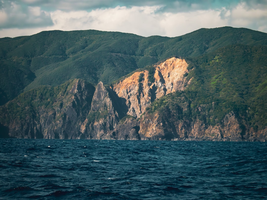
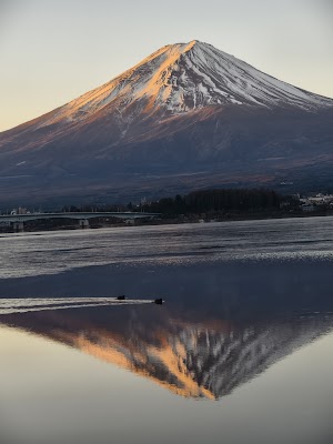
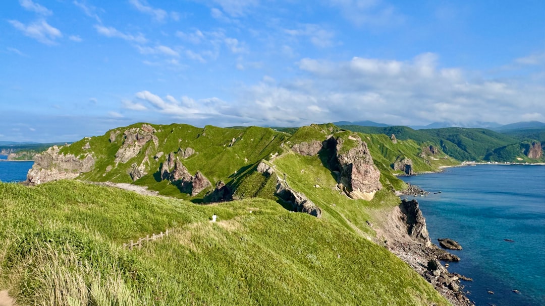
In short: Kyushu Volcano Route is a About 620 km plus three ferry crossings scenic road trip in Japan, typically driven over 7 days, best in Mar-May / Oct-Nov. Highlights: Fukuoka Airport, Yufuin Station, Mount Aso Kusasenri.
Distance
About 620 km plus three ferry crossings
Duration
7 days
Best Season
Mar-May / Oct-Nov
IconicModerateScenicEV-friendly
A seven-day volcanic traverse from Fukuoka to Kagoshima with proper time at Yufuin, Aso, Unzen, Kirishima, and Sakurajima. The route now reaches Unzen Onsen, its steaming hells, Nita Pass, and a real hot-spring experience; the following day is reserved for the ferry-and-motorway transfer to Kirishima. The final stage pairs Kirishima's active landscape with Sakurajima before crossing the bay into Kagoshima.
~1 refuel
~2 charges
Practical notes
Check the Japan Meteorological Agency volcano warnings and each park, ropeway, road, and ferry operator every morning. Aso crater access can close for eruption risk, sulfur gas, wind, or weather; never cross a barrier, and people with asthma, respiratory or cardiac conditions should follow the official gas restrictions. At Unzen, confirm Nita Pass road, Unzen Ropeway, trail, and Fugendake access with the visitor center before leaving town; use the viewpoint-and-onsen fallback when hiking is closed. At Kirishima and Sakurajima, obey exclusion zones, ash, eruption, and trail notices and carry eye protection and masks for ash. Reserve the Kumamoto-Shimabara ferry in both directions where available, arrive before vehicle check-in, and recheck the Sakurajima ferry; high wind, typhoons, maintenance, or congestion can disrupt all three crossings. Day 6 is deliberately a long Unzen-to-Kirishima transfer with no museum appointment. Snow and ice can affect Aso, Nita Pass, and Kirishima in winter, while heavy rain brings landslide risk. Avoid night mountain driving, charge or refuel before remote stages, and confirm current passport, licence, International Driving Permit, insurance, toll, and ferry rules with the rental company.
Make this route yours
Set your dates, pace, and taste, and RoadAtlas AI rebuilds this trip day by day with real, verified places.
Walk broad grasslands beside Aso's immense caldera. Steam vents and open views make the landscape feel raw and alive.
Landmark
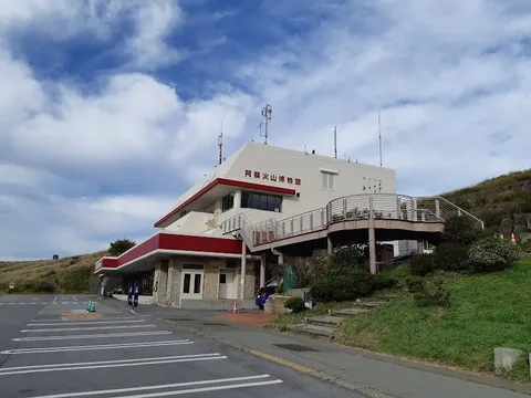
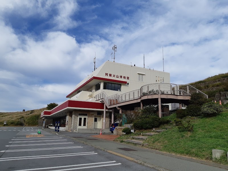
Aso Volcano Museum
Learn how Aso's eruptions shaped the region and still influence daily life. Useful for checking conditions before going higher.
Landmark
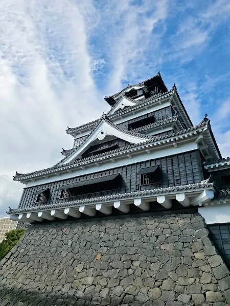
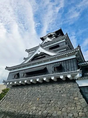
Kumamoto Castle
This restored castle anchors the city with bold stone walls and sweeping views. It is a strong cultural pause between volcanic stops.
Landmark
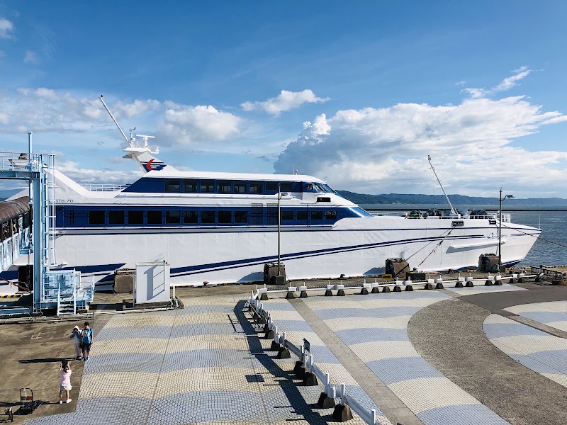
Kumamoto-Shimabara ferry
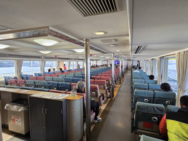
Use the reserved vehicle sailing to reach the Shimabara Peninsula, arriving before check-in and keeping a road fallback for cancellations.
Nature
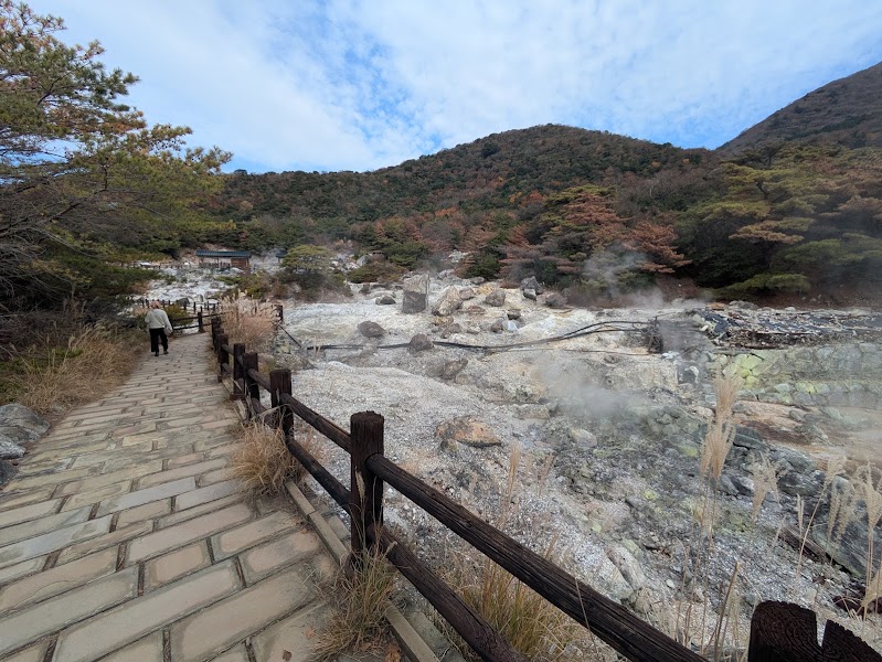
Unzen Onsen and Unzen Hells
Walk the signed geothermal promenade among active steam vents, then stay for a proper sulfur-spring bath rather than a token craft stop.
Nature
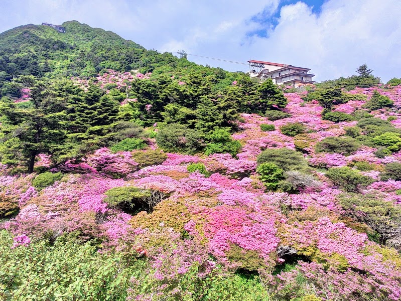
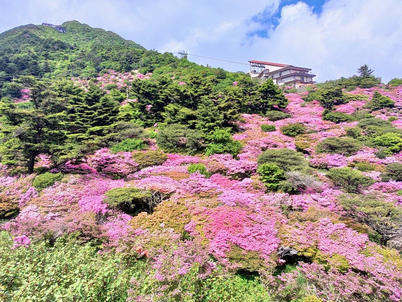
Nita Pass
Use the scenic road and ropeway for the official volcanic viewpoint, adding a hike only when the visitor center confirms trail and eruption conditions.
Show 11 more
Nature
Kirishima volcanic landscape
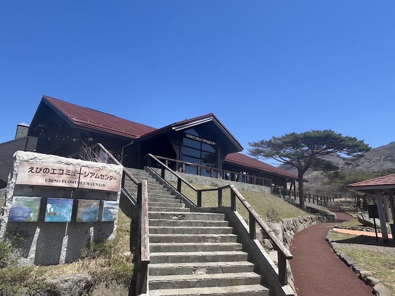
Use the eco-museum for live crater and trail status, then select only an officially open short walk or viewpoint before Kirishima Jingu.
Landmark
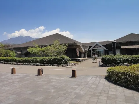
Sakurajima Visitor Center
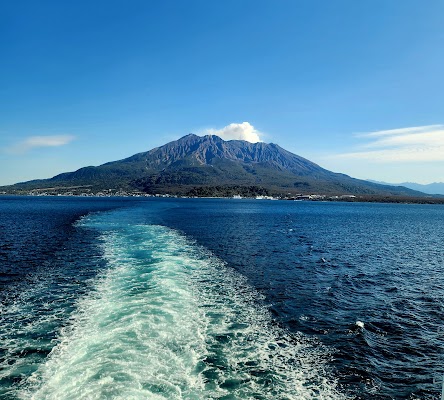
Stand close to one of Japan's most active volcanoes and watch ash clouds drift over the bay. The exhibits explain daily life with Sakurajima.
Volcanic basin walk
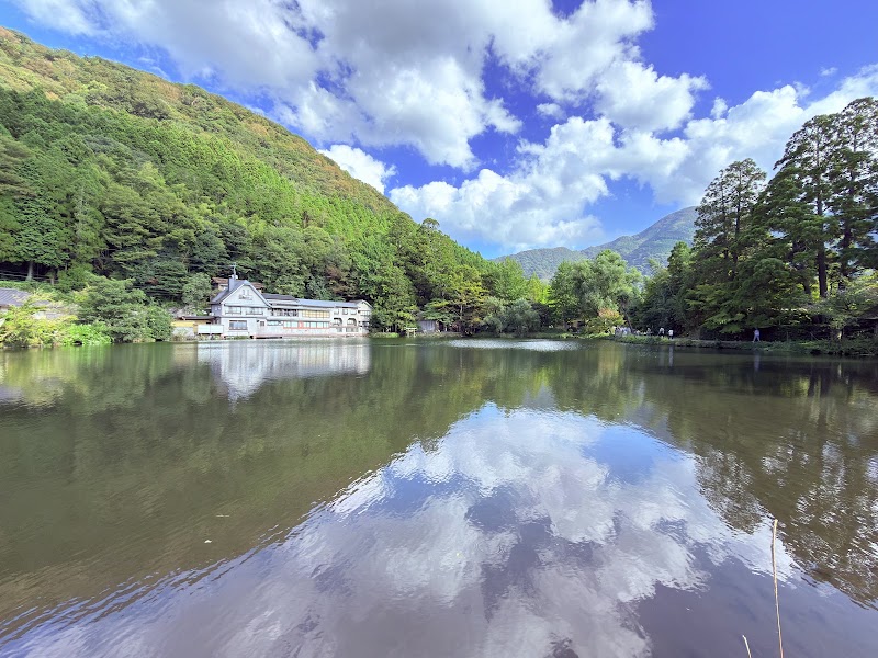
Kinrinko and the Yufuin basin
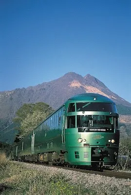
Walk the lake and onsen town beneath Mount Yufu, then use an open public or hotel bath rather than spending the route's first day in a themed shopping lane.
Volcanic landscape
Mount Aso crater, Kusasenri, and volcano museum
Check the live alert and gas status first, use only open roads and viewpoints, and keep Kusasenri and the museum as the full closure fallback.
Historic landmark
Kumamoto Castle Grounds
Walk the castle grounds and admire the massive stone defenses. The site combines samurai history with modern restoration work.
Volcanic landscape
Unzen Hells geothermal promenade
Follow the maintained boardwalk through Unzen Jigoku's steam vents, heed gas and path closures, and visit the onsen town interpretation center.
Volcanic viewpoint
Nita Pass, Unzen Ropeway, and optional Fugendake hike
Take the scenic road and ropeway for the 360-degree viewpoint. Attempt the signed hike only with suitable fitness, weather, daylight, and same-day official confirmation.
Onsen
Unzen sulfur-spring bath
Book a hotel or public bath that accepts day visitors, wash before entering, follow tattoo and towel rules, and skip bathing if medically inadvisable.
Volcanic landscape
Kirishima volcano-status check and open viewpoint
Start at the Ebino Eco-Museum Center, then choose only a trail or overlook confirmed open under the current Shinmoedake and Ioyama alerts.
Shrine
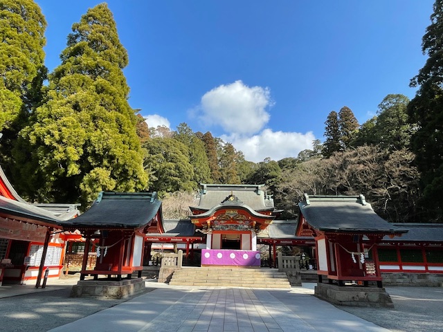
Kirishima Jingu
Visit the forest shrine after the volcanic viewpoint, keeping enough time for the drive to Sakurajima and the final ferry.
Nature walk
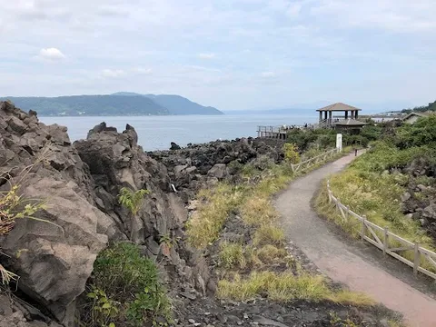
Sakurajima Lava Nagisa Promenade
Follow the seaside path with wide views of the volcano and Kagoshima Bay. Hot-spring foot baths nearby make it an easy stop.
Where to Eat
Yufuin clay-pot rice
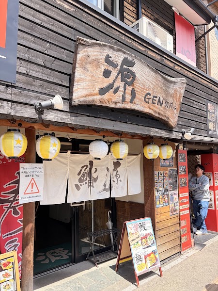
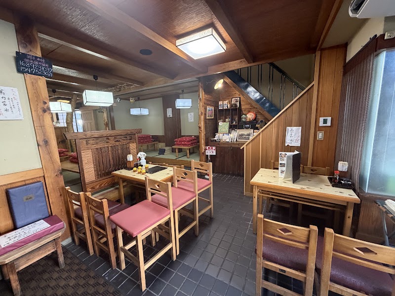
Yufu Mabushi Shin Kinrinko
Reserve or queue for the Kinrinko branch's beef, eel, or chicken mabushi, checking its current service hours before planning arrival.
Aso akaushi beef bowl
Imakin Shokudo
Try the signature red-beef rice bowl in Uchinomaki only if its current opening day and queue fit the Aso plan; otherwise use a named hotel dinner and protect crater time.
Kumamoto ramen
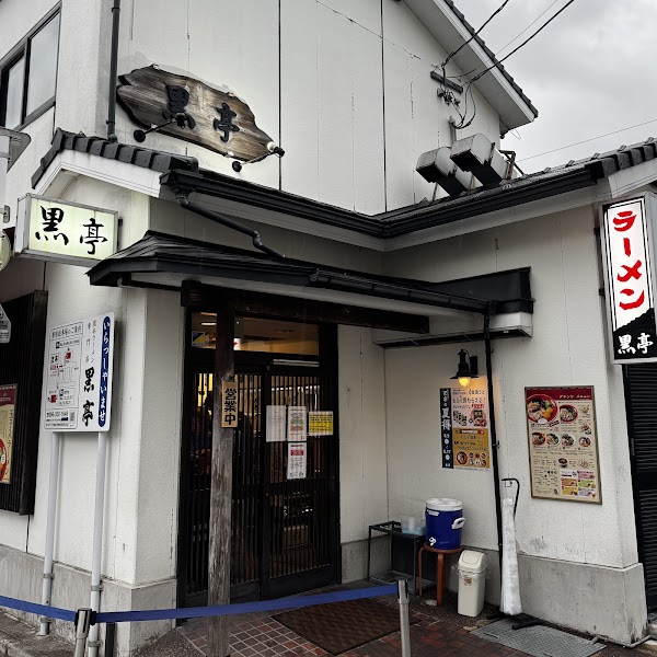
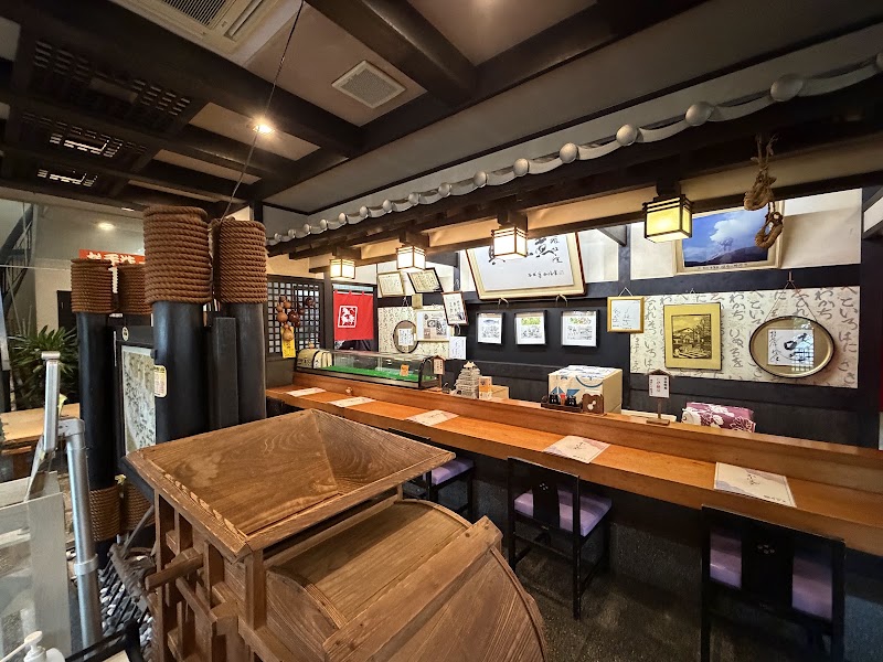
Kokutei Main Shop
Use the exact Ninomaru-area main shop for garlic-rich Kumamoto ramen. This replaces the incorrect description of horse-meat specialist Suganoya as a ramen restaurant.
Shimabara guzoni
Himematsuya Main Shop
The official Nagasaki guide identifies this castle-side shop as the birthplace of guzoni, a mochi and local-ingredient broth. Check its current hours around the ferry arrival.
Unzen hayashi rice
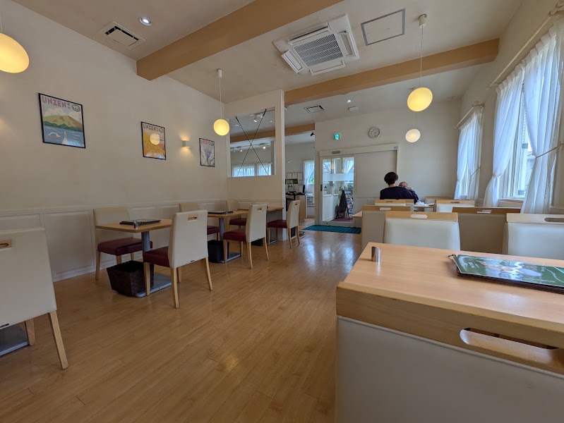
Green Terrace Unzen
Have the local potato-topped hayashi rice at the named Unzen Onsen restaurant, currently serving daytime hours with irregular closures; verify its live calendar.
Unzen-Shimabara seasonal cuisine
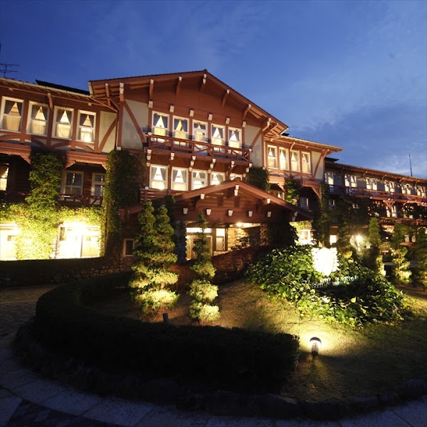
Unzen Kanko Hotel Dining Room
Reserve the historic hotel's local-ingredient French dinner or traditional curry lunch and confirm non-guest access and dress requirements.
Show 1 more
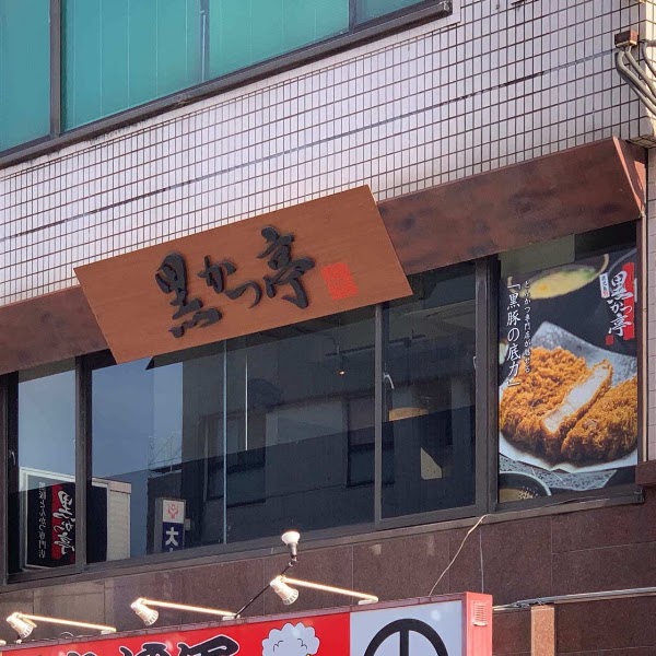
Kagoshima kurobuta pork
Kurokatsutei Main Shop
Finish with the named Kagoshima main shop's black-pork tonkatsu or shabu-shabu, checking the current branch hours and queue.
The Kyushu Volcano Route covers About 620 km plus three ferry crossings from start to finish.
How long does the Kyushu Volcano Route take to drive?
Most travellers spend 7 days on the Kyushu Volcano Route, depending on stops and pace.
When is the best time to drive the Kyushu Volcano Route?
The recommended season for the Kyushu Volcano Route is Mar-May / Oct-Nov.
Where does the Kyushu Volcano Route start and end?
The Kyushu Volcano Route runs from Fukuoka Airport to Kagoshima Chuo Station.
What are the main stops on the Kyushu Volcano Route?
The Kyushu Volcano Route passes through Fukuoka Airport, Yufuin Station, Mount Aso Kusasenri.
How difficult is the Kyushu Volcano Route to drive?
The Kyushu Volcano Route is rated moderate and is best handled with any vehicle.
Can I drive the Kyushu Volcano Route in a regular car?
Yes — the Kyushu Volcano Route is paved end-to-end and a regular car is fine in normal conditions.
How many fuel stops are needed on the Kyushu Volcano Route?
Plan around 1 refuels (or about 2 EV charges) along the Kyushu Volcano Route, based on its About 620 km plus three ferry crossings length.
Is the Kyushu Volcano Route EV friendly?
Yes — the Kyushu Volcano Route has charger coverage along the route and works as an EV road trip.
Is the Kyushu Volcano Route safe to drive?
Check the Japan Meteorological Agency volcano warnings and each park, ropeway, road, and ferry operator every morning. Aso crater access can close for eruption risk, sulfur gas, wind, or weather; never cross a barrier, and people with asthma, respiratory or cardiac conditions should follow the official gas restrictions. At Unzen, confirm Nita Pass road, Unzen Ropeway, trail, and Fugendake access with the visitor center before leaving town; use the viewpoint-and-onsen fallback when hiking is closed. At Kirishima and Sakurajima, obey exclusion zones, ash, eruption, and trail notices and carry eye protection and masks for ash. Reserve the Kumamoto-Shimabara ferry in both directions where available, arrive before vehicle check-in, and recheck the Sakurajima ferry; high wind, typhoons, maintenance, or congestion can disrupt all three crossings. Day 6 is deliberately a long Unzen-to-Kirishima transfer with no museum appointment. Snow and ice can affect Aso, Nita Pass, and Kirishima in winter, while heavy rain brings landslide risk. Avoid night mountain driving, charge or refuel before remote stages, and confirm current passport, licence, International Driving Permit, insurance, toll, and ferry rules with the rental company.
What scenic tier is the Kyushu Volcano Route?
The Kyushu Volcano Route is a iconic drive — Iconic road trips that anchor a region's reputation — postcard scenery, headline highways, and the routes most travellers want to drive.