Historic Columbia River Highway
United States
In short: Historic Columbia River Highway is a 105 km historical road trip in United States, typically driven over 1 day, best in late spring to early fall. Highlights: Troutdale, Vista House at Crown Point, Latourell Falls.
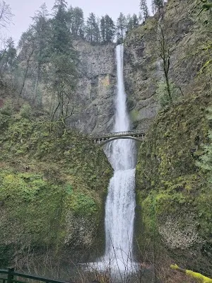
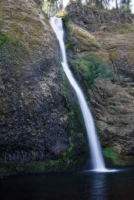
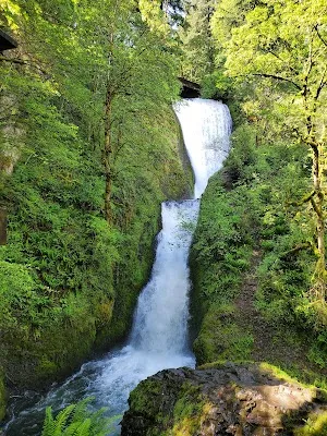
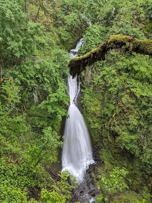
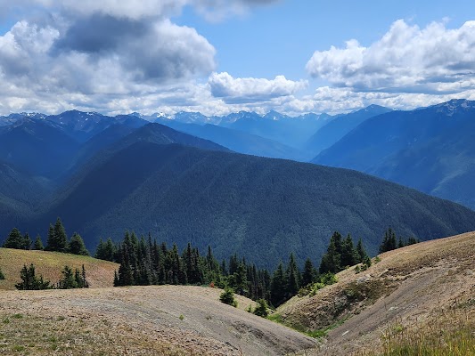
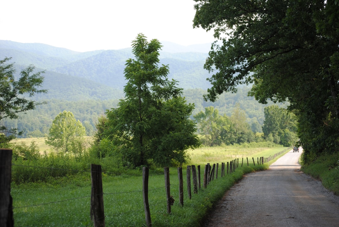
This classic Oregon drive follows the restored Historic Columbia River Highway through the Columbia River Gorge, linking waterfalls, stone bridges, and bluff-top viewpoints. Starting near Troutdale and finishing in the Hood River area, it blends early 20th-century engineering with constant river-and-cliff scenery, best enjoyed at a leisurely pace.
Make this route yours
Set your dates, pace, and taste, and RoadAtlas AI rebuilds this trip day by day with real, verified places.
Included with Traveler and Explorer plans.
Plan this trip
Third-party planning links may be affiliate links. RoadAtlas stays independent, and you should verify details with the provider.
Day-by-day itinerary
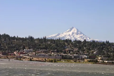
Day 1Troutdale to Hood River, Oregon
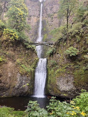
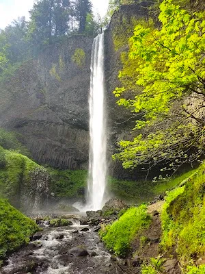
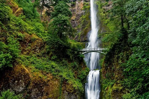
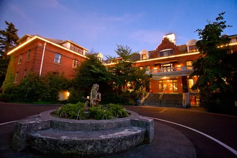
Visit Vista House Interpretive Exhibits · Photograph Latourell Falls · McMenamins Edgefield
Stops along the route

Things to Do

Show 5 more
Where to Eat


Nearby and similar drives

Frequently asked questions
How long is the Historic Columbia River Highway drive?
The Historic Columbia River Highway covers 105 km from start to finish.
How long does the Historic Columbia River Highway take to drive?
Most travellers spend 1 day on the Historic Columbia River Highway, depending on stops and pace.
When is the best time to drive the Historic Columbia River Highway?
The recommended season for the Historic Columbia River Highway is late spring to early fall.
Where does the Historic Columbia River Highway start and end?
The Historic Columbia River Highway runs from Troutdale to Hood River.
What are the main stops on the Historic Columbia River Highway?
The Historic Columbia River Highway passes through Troutdale, Vista House at Crown Point, Latourell Falls.
How difficult is the Historic Columbia River Highway to drive?
The Historic Columbia River Highway is rated easy and is best handled with any vehicle.
Can I drive the Historic Columbia River Highway in a regular car?
Yes — the Historic Columbia River Highway is paved end-to-end and a regular car is fine in normal conditions.
Is the Historic Columbia River Highway EV friendly?
Yes — the Historic Columbia River Highway has charger coverage along the route and works as an EV road trip.
Is the Historic Columbia River Highway safe to drive?
From May 22 through September 7, 2026, 9am–6pm, a timed-use permit applies only to personal vehicles using the I-84 Exit 31 Multnomah Falls lot—not to US 30 itself. Historic Highway parking is still extremely limited, so prefer gorge transit, check TripCheck for live closures, and note that the reopened Multnomah viaducts admit vehicles under 35 feet long.
What scenic tier is the Historic Columbia River Highway?
The Historic Columbia River Highway is a iconic drive — Iconic road trips that anchor a region's reputation — postcard scenery, headline highways, and the routes most travellers want to drive.