The American South
United States
In short: The American South is a About 1,250 km historical road trip in United States, typically driven over 9 days, best in Mar–May, Sep–Nov. Highlights: Charleston, Columbia, Charlotte.
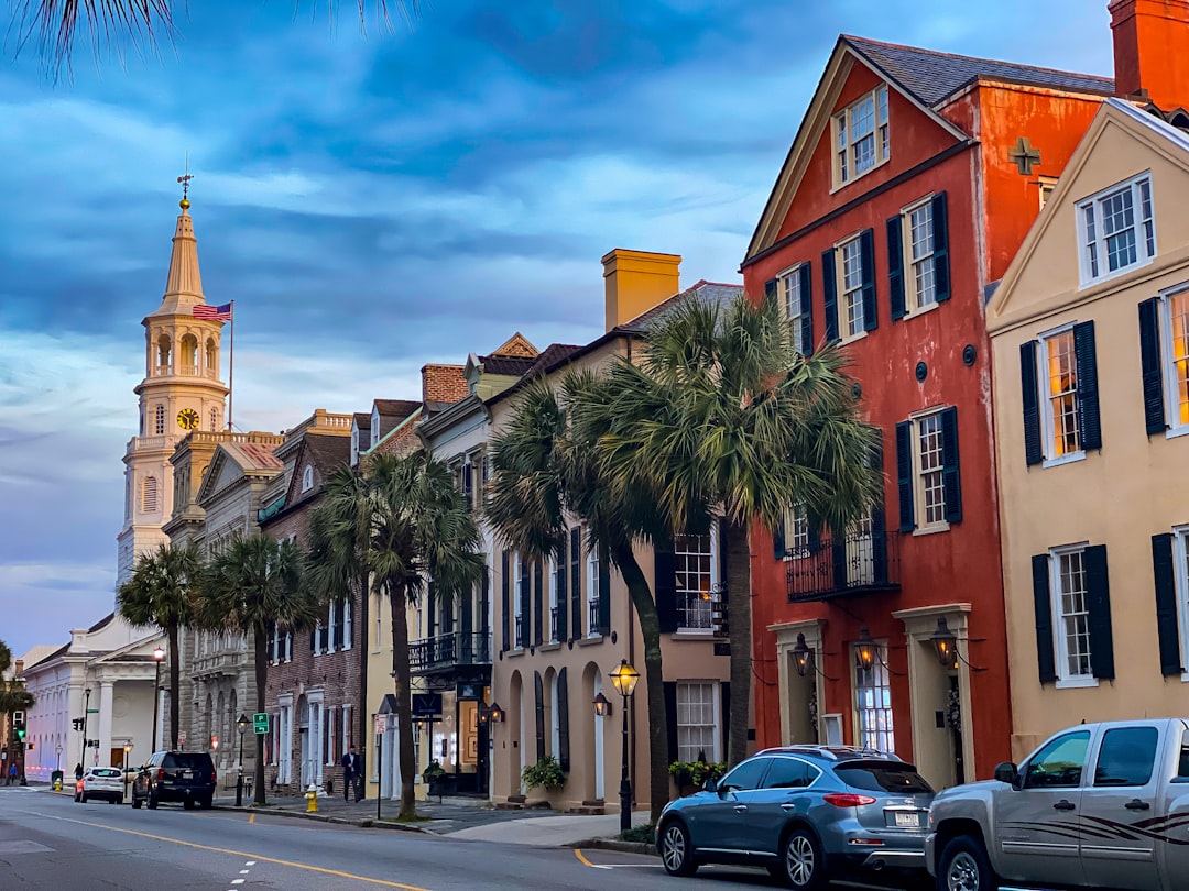
A coherent northbound history route from Charleston through major Civil Rights sites and Virginia battlefields to Washington, Antietam, and Gettysburg. Jamestown, Charlottesville, Monticello, and Shenandoah are excluded rather than hidden as impossible detours.
Make this route yours
Set your dates, pace, and taste, and RoadAtlas AI rebuilds this trip day by day with real, verified places.
Included with Traveler and Explorer plans.
Plan this trip
Third-party planning links may be affiliate links. RoadAtlas stays independent, and you should verify details with the provider.
Day-by-day itinerary
Day 1Charleston, South Carolina
Charleston Historic District · Waterfront Park · Husk
Day 2Columbia, South Carolina
South Carolina State House · Riverbanks Zoo & Garden · Motor Supply Co. Bistro
Day 3Charlotte, North Carolina
NASCAR Hall of Fame · U.S. National Whitewater Center · Mert's Heart & Soul
Day 4Greensboro, North Carolina
International Civil Rights Center & Museum · Greensboro History Museum · Print Works Bistro
Day 5Richmond, Virginia
Virginia Museum of Fine Arts · Church Hill · The Roosevelt
Day 6Fredericksburg, Virginia
Sunken Road and Fredericksburg battlefield · Fredericksburg and Spotsylvania National Military Park Visitor Center · Foode
Day 7Washington, DC
National Museum of African American History and Culture · National Mall · Old Ebbitt Grill
Day 8Antietam / Sharpsburg, Maryland
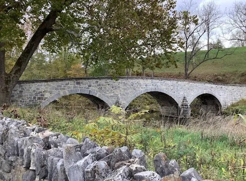
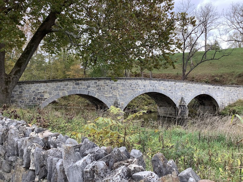
Antietam National Battlefield Visitor Center · Cornfield, Bloody Lane, and Burnside Bridge · Captain Benders Tavern
Day 9Gettysburg, Pennsylvania
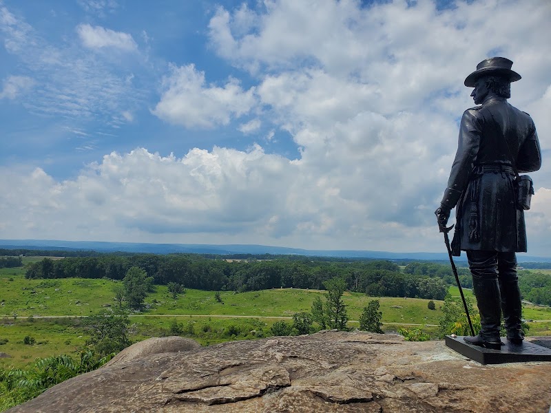
Gettysburg battlefield driving and walking tour · Gettysburg National Military Park Museum & Visitor Center · The Dobbin House Tavern
Stops along the route






Things to Do



Show 2 more

Where to Eat





Nearby and similar drives




Frequently asked questions
How long is the The American South drive?
The The American South covers About 1,250 km from start to finish.
How long does the The American South take to drive?
Most travellers spend 9 days on the The American South, depending on stops and pace.
When is the best time to drive the The American South?
The recommended season for the The American South is Mar–May, Sep–Nov.
Where does the The American South start and end?
The The American South runs from Charleston to Gettysburg.
What are the main stops on the The American South?
The The American South passes through Charleston, Columbia, Charlotte.
How difficult is the The American South to drive?
The The American South is rated easy and is best handled with any vehicle.
Can I drive the The American South in a regular car?
Yes — the The American South is paved end-to-end and a regular car is fine in normal conditions.
How many fuel stops are needed on the The American South?
Plan around 2 refuels (or about 4 EV charges) along the The American South, based on its About 1,250 km length.
Is the The American South safe to drive?
This nine-day northbound Civil Rights and Civil War route stays on the mapped Charleston–Columbia–Charlotte–Greensboro–Richmond–Fredericksburg–Washington–Antietam–Gettysburg line. Check timed passes for major Washington museums and current NPS hours for every battlefield. Heat, storms, traffic, and winter ice can disrupt the route.
What scenic tier is the The American South?
The The American South is a notable drive — Notable scenic drives — strong character routes that locals know well and that reward travellers willing to step beyond the most-photographed roads.