Namaqualand Flower Route
South Africa
In short: Namaqualand Flower Route is a 700 km scenic road trip in South Africa, typically driven over 4–6 days, best in Aug–Sep. Highlights: Cape Town, Darling, West Coast National Park.
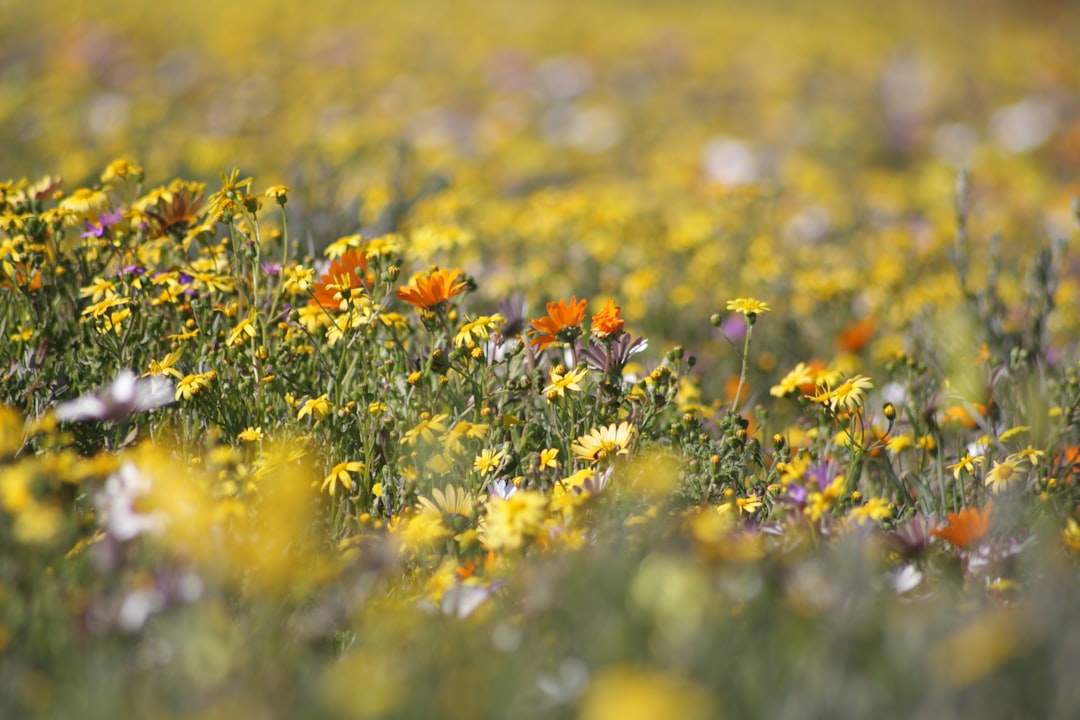
For two weeks each August, the Namaqualand desert transforms into the greatest wildflower spectacle on Earth, millions of orange, yellow, and white daisies covering the Bokkeveld and Knersvlakte as far as the eye can see.
Make this route yours
Set your dates, pace, and taste, and RoadAtlas AI rebuilds this trip day by day with real, verified places.
Included with Traveler and Explorer plans.
Plan this trip
Third-party planning links may be affiliate links. RoadAtlas stays independent, and you should verify details with the provider.
Day-by-day itinerary
Day 1Cape Town to Darling and West Coast National Park
Darling Wildflower Reserve · Tienie Versveld Wildflower Reserve · The Marmalade Cat
Day 2Vanrhynsdorp and Vanrhyns Pass
Vanrhyns Pass · Knersvlakte Quartz Field Succulent Viewing · Skoorsteentjie Padstal
Day 3Nieuwoudtville
Hantam National Botanical Garden · Nieuwoudtville Waterfall · Matjiesfontein Farm Stall
Day 4Garies transfer to Kamieskroon and Skilpad
Garies koppie short flower stop · Namaqua National Park · Garies Toeristestal
Day 5Springbok and Goegap Nature Reserve
Goegap Nature Reserve · Namaqualand Museum · Springbok Lodge Restaurant
Stops along the route


Things to Do
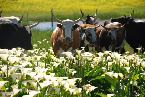
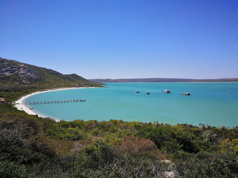
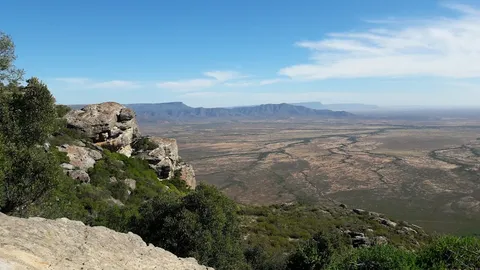
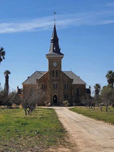
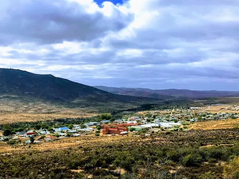
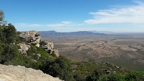
Show 5 more
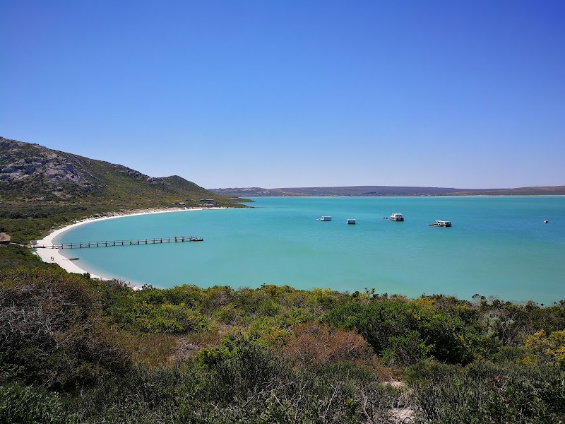


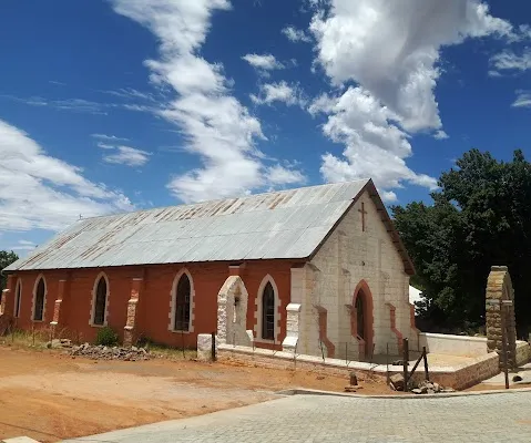
Where to Eat




Nearby and similar drives
Frequently asked questions
How long is the Namaqualand Flower Route drive?
The Namaqualand Flower Route covers 700 km from start to finish.
How long does the Namaqualand Flower Route take to drive?
Most travellers spend 4–6 days on the Namaqualand Flower Route, depending on stops and pace.
When is the best time to drive the Namaqualand Flower Route?
The recommended season for the Namaqualand Flower Route is Aug–Sep.
Where does the Namaqualand Flower Route start and end?
The Namaqualand Flower Route runs from Cape Town to Springbok.
What are the main stops on the Namaqualand Flower Route?
The Namaqualand Flower Route passes through Cape Town, Darling, West Coast National Park.
How difficult is the Namaqualand Flower Route to drive?
The Namaqualand Flower Route is rated easy and is best handled with any vehicle.
Can I drive the Namaqualand Flower Route in a regular car?
Yes — the Namaqualand Flower Route is paved end-to-end and a regular car is fine in normal conditions.
How many fuel stops are needed on the Namaqualand Flower Route?
Plan around 1 refuels (or about 2 EV charges) along the Namaqualand Flower Route, based on its 700 km length.
Is the Namaqualand Flower Route safe to drive?
The N7 through-route and the Kamieskroon–Skilpad approach, Skilpad circular route, and chalet access are normally sedan-accessible in dry conditions; do not assume an ordinary car can use the rest of Namaqua National Park, where high clearance or 4WD may be required. Check locally after rain. Flower season depends on winter rain and brief weather swings, while blooms normally open only in full sun around 11:00–16:00. Keep fuel topped up north of Vanrhynsdorp and reserve scarce Nieuwoudtville and Kamieskroon accommodation well ahead for Aug–Sep weekends.
What scenic tier is the Namaqualand Flower Route?
The Namaqualand Flower Route is a iconic drive — Iconic road trips that anchor a region's reputation — postcard scenery, headline highways, and the routes most travellers want to drive.