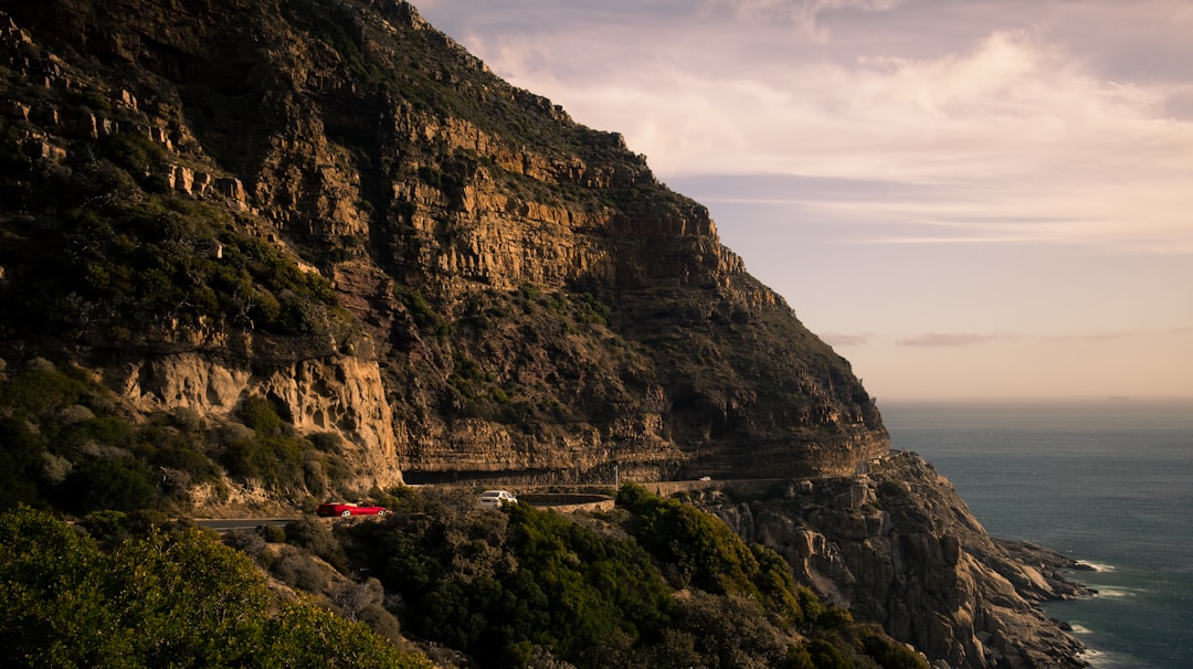
Chapman's Peak Drive
South Africa
In short: Chapman's Peak Drive is a 9 km scenic road trip in South Africa, typically driven over Half day, best in Year-round. Highlights: Hout Bay Harbour, Chapman's Peak Drive Toll Gate, Chapman's Peak Viewpoint.
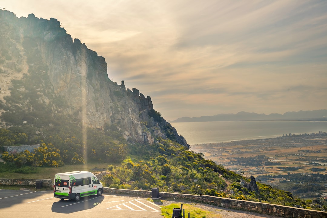
The official 9 km Chapman's Peak toll road packs 114 curves between its Hout Bay and Noordhoek approaches. Built during World War I and blasted from the face of the 593 m peak, “Chappies” delivers cliff-edge Atlantic views throughout; the harbour and beach are worthwhile bookends outside the mapped toll-road section.
Make this route yours
Set your dates, pace, and taste, and RoadAtlas AI rebuilds this trip day by day with real, verified places.
Included with Traveler and Explorer plans.
Plan this trip
Third-party planning links may be affiliate links. RoadAtlas stays independent, and you should verify details with the provider.
Day-by-day itinerary
Day 1Chapman's Peak Drive, Hout Bay to Noordhoek
Bay Harbour Market or weekday harbour alternative · Chapman's Peak Viewpoint Stops · Mariner's Wharf
Stops along the route

Things to Do



Where to Eat



Nearby and similar drives

Frequently asked questions
How long is the Chapman's Peak Drive drive?
The Chapman's Peak Drive covers 9 km from start to finish.
How long does the Chapman's Peak Drive take to drive?
Most travellers spend Half day on the Chapman's Peak Drive, depending on stops and pace.
When is the best time to drive the Chapman's Peak Drive?
The recommended season for the Chapman's Peak Drive is Year-round.
Where does the Chapman's Peak Drive start and end?
The Chapman's Peak Drive runs from Hout Bay Harbour to Noordhoek Beach.
What are the main stops on the Chapman's Peak Drive?
The Chapman's Peak Drive passes through Hout Bay Harbour, Chapman's Peak Drive Toll Gate, Chapman's Peak Viewpoint.
How difficult is the Chapman's Peak Drive to drive?
The Chapman's Peak Drive is rated easy and is best handled with any vehicle.
Can I drive the Chapman's Peak Drive in a regular car?
Yes — the Chapman's Peak Drive is paved end-to-end and a regular car is fine in normal conditions.
Is the Chapman's Peak Drive EV friendly?
Yes — the Chapman's Peak Drive has charger coverage along the route and works as an EV road trip.
Is the Chapman's Peak Drive safe to drive?
Chapman’s Peak Drive is a toll road and can close quickly for rockfalls, high winds, or heavy rain, especially in winter storms. Check opening status before setting out and avoid stopping outside marked lay-bys; cliff edges are exposed and shoulders are narrow. South Africa drives on the left, so this Hout Bay to Noordhoek direction keeps tour buses in their restricted lane; self-drivers wanting the ocean-side lane with easier access to cliff-edge lay-bys may prefer the reverse direction, Noordhoek to Hout Bay.
What scenic tier is the Chapman's Peak Drive?
The Chapman's Peak Drive is a iconic drive — Iconic road trips that anchor a region's reputation — postcard scenery, headline highways, and the routes most travellers want to drive.