Southwest Virginia Coalfields and Music Route
United States
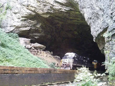
In short: Southwest Virginia Coalfields and Music Route is a 480 km cultural road trip in United States, typically driven over 3–4 days, best in Apr–Oct. Highlights: Bristol, Carter Family Fold, Natural Tunnel.
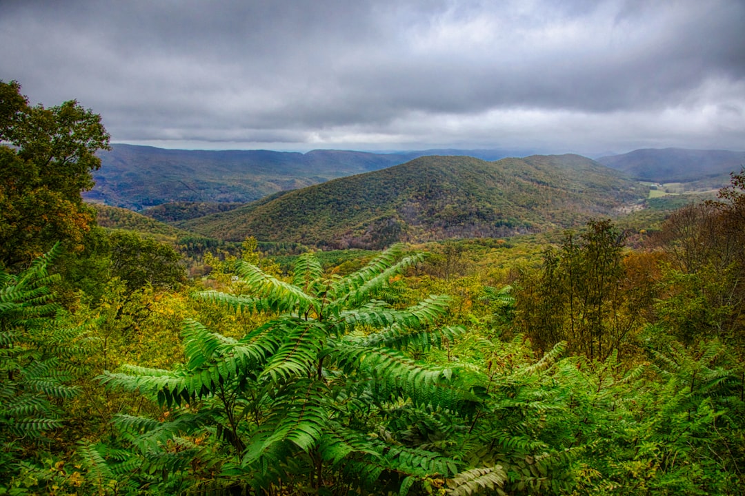
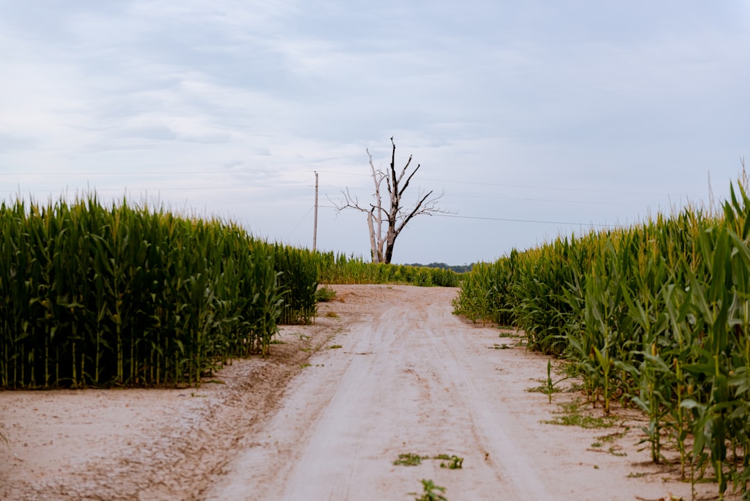
A contiguous three-day cultural traverse grouping Bristol and the Carter Fold, Big Stone Gap and Wise, then Breaks Interstate Park and Grundy. It is not Virginia's shorter named Lonesome Pine wildlife loop.
Make this route yours
Set your dates, pace, and taste, and RoadAtlas AI rebuilds this trip day by day with real, verified places.
Included with Traveler and Explorer plans.
Plan this trip
Third-party planning links may be affiliate links. RoadAtlas stays independent, and you should verify details with the provider.
Day-by-day itinerary
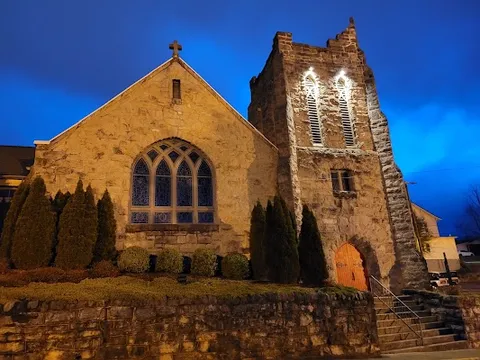
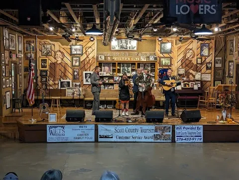
Day 1Bristol to Hiltons / Carter Fold (about 45 minutes each way)
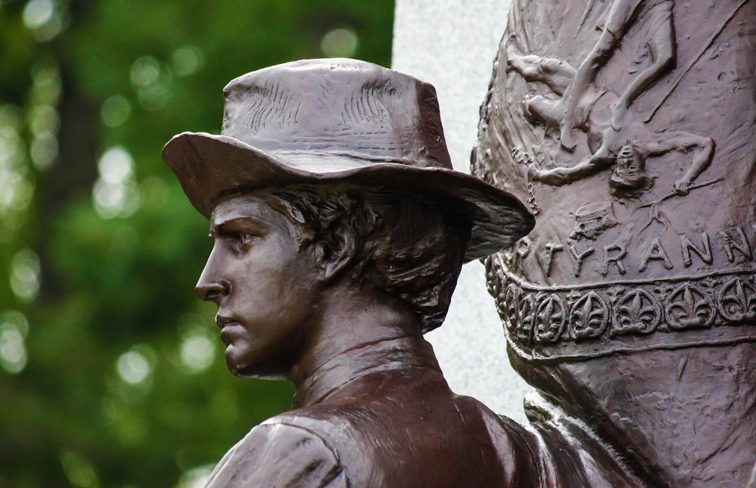
The Crooked Road · Downtown Bristol Historic District · Hob-Nob Drive-In
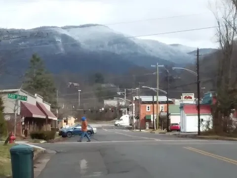
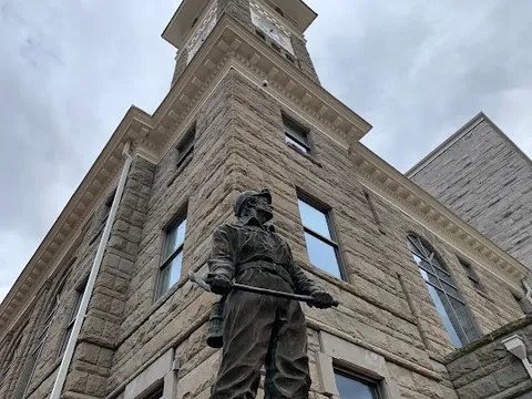
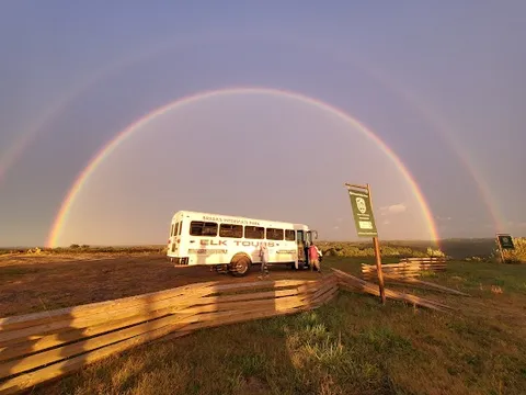
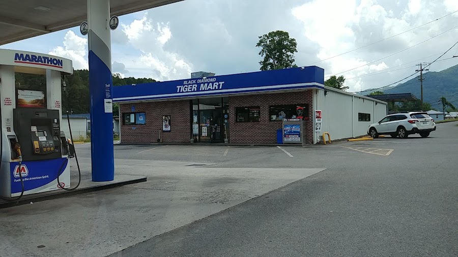
Day 2Big Stone Gap and Wise, with optional Birch Knob side trip
Southwest Virginia Museum · Birch Knob Observation Tower · Tiger Market and Deli
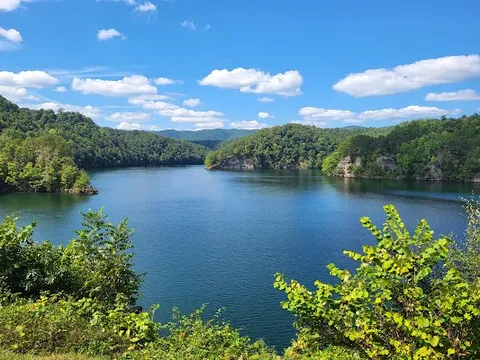
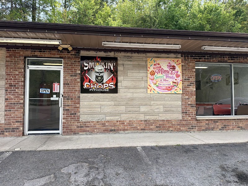
Day 3Breaks Interstate Park and the route into Grundy
Breaks Interstate Park Overlook Trail · Levisa Fork River Access · Ralph's Barbecue
Stops along the route
Things to Do

Show 1 more
Where to Eat


Nearby and similar drives


Frequently asked questions
How long is the Southwest Virginia Coalfields and Music Route drive?
The Southwest Virginia Coalfields and Music Route covers 480 km from start to finish.
How long does the Southwest Virginia Coalfields and Music Route take to drive?
Most travellers spend 3–4 days on the Southwest Virginia Coalfields and Music Route, depending on stops and pace.
When is the best time to drive the Southwest Virginia Coalfields and Music Route?
The recommended season for the Southwest Virginia Coalfields and Music Route is Apr–Oct.
Where does the Southwest Virginia Coalfields and Music Route start and end?
The Southwest Virginia Coalfields and Music Route runs from Bristol to Grundy.
What are the main stops on the Southwest Virginia Coalfields and Music Route?
The Southwest Virginia Coalfields and Music Route passes through Bristol, Carter Family Fold, Natural Tunnel.
How difficult is the Southwest Virginia Coalfields and Music Route to drive?
The Southwest Virginia Coalfields and Music Route is rated easy and is best handled with any vehicle.
Can I drive the Southwest Virginia Coalfields and Music Route in a regular car?
Yes — the Southwest Virginia Coalfields and Music Route is paved end-to-end and a regular car is fine in normal conditions.
How many fuel stops are needed on the Southwest Virginia Coalfields and Music Route?
Plan around 0 refuels (or about 1 EV charges) along the Southwest Virginia Coalfields and Music Route, based on its 480 km length.
Is the Southwest Virginia Coalfields and Music Route safe to drive?
Most of this route is simple two-lane Appalachian pavement, but mountain grades, blind curves, and occasional fog can slow progress, especially after rain. Winter ice is the main closure risk in higher gaps and gorge roads; fuel can be thin between towns, so top up in Bristol, Wise, or Grundy.
What scenic tier is the Southwest Virginia Coalfields and Music Route?
The Southwest Virginia Coalfields and Music Route is a hidden gem drive — Hidden gem road trips — quieter routes off the main travel circuit, often with the same scenery you came to see but without the crowds.