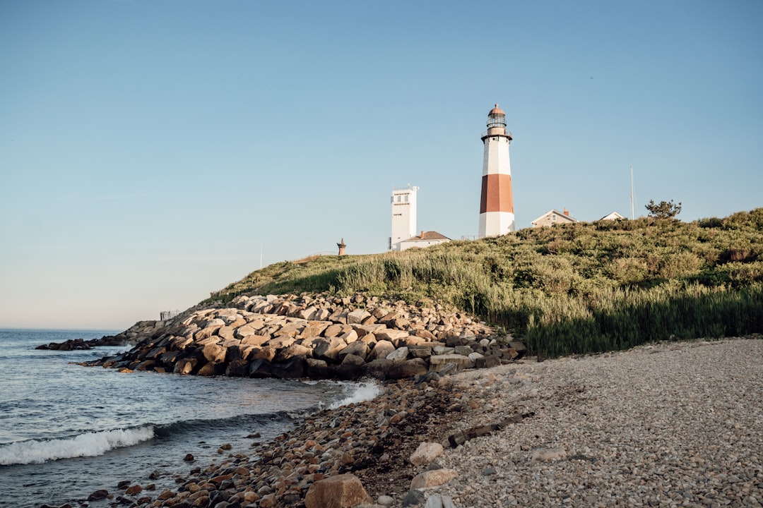
Manhattan–Montauk–North Fork–Brooklyn
United States
In short: Manhattan–Montauk–North Fork–Brooklyn is a 429 km scenic road trip in United States, typically driven over 3–4 days, best in May – October. Highlights: Central Park, Montauk Point Lighthouse, East Hampton.
A four-day traverse from Manhattan to Montauk, back through the Hamptons and North Fork, then along the South Shore to Brooklyn. Sagamore Hill is included as the principal North Shore history stop.
Make this route yours
Set your dates, pace, and taste, and RoadAtlas AI rebuilds this trip day by day with real, verified places.
Included with Traveler and Explorer plans.
Plan this trip
Third-party planning links may be affiliate links. RoadAtlas stays independent, and you should verify details with the provider.
Day-by-day itinerary
Day 1New York City to Montauk
Montauk Point State Park · Brennan & Carr
Day 2East End / Hamptons and Shelter Island
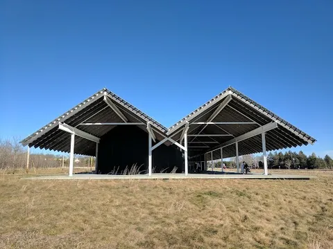
Parrish Art Museum · Mashomack Preserve · Nick & Toni's
Day 3North Fork to the South Shore
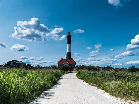
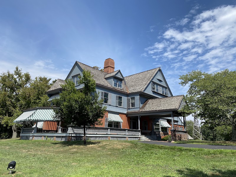
Sagamore Hill National Historic Site · Fire Island Lighthouse · Greenport Harbor Brewing Company
Day 4Jones Beach and Coney Island, then park in Brooklyn
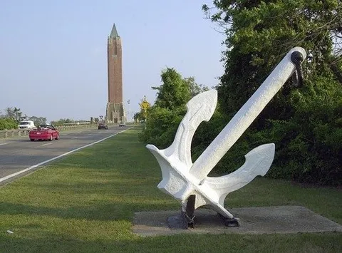
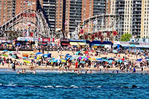
Jones Beach State Park · Luna Park · Nathan's Famous Coney Island
Stops along the route
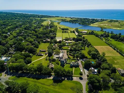
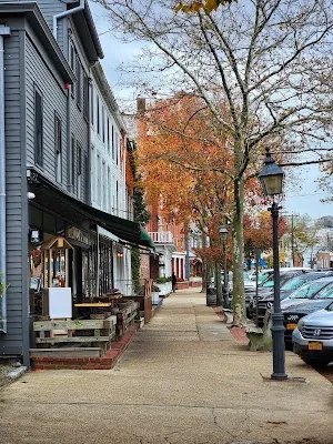
Things to Do

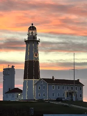

Show 4 more

Where to Eat


Nearby and similar drives


Frequently asked questions
How long is the Manhattan–Montauk–North Fork–Brooklyn drive?
The Manhattan–Montauk–North Fork–Brooklyn covers 429 km from start to finish.
How long does the Manhattan–Montauk–North Fork–Brooklyn take to drive?
Most travellers spend 3–4 days on the Manhattan–Montauk–North Fork–Brooklyn, depending on stops and pace.
When is the best time to drive the Manhattan–Montauk–North Fork–Brooklyn?
The recommended season for the Manhattan–Montauk–North Fork–Brooklyn is May – October.
Where does the Manhattan–Montauk–North Fork–Brooklyn start and end?
The Manhattan–Montauk–North Fork–Brooklyn runs from Central Park to Coney Island.
What are the main stops on the Manhattan–Montauk–North Fork–Brooklyn?
The Manhattan–Montauk–North Fork–Brooklyn passes through Central Park, Montauk Point Lighthouse, East Hampton.
How difficult is the Manhattan–Montauk–North Fork–Brooklyn to drive?
The Manhattan–Montauk–North Fork–Brooklyn is rated easy and is best handled with any vehicle.
Can I drive the Manhattan–Montauk–North Fork–Brooklyn in a regular car?
Yes — the Manhattan–Montauk–North Fork–Brooklyn is paved end-to-end and a regular car is fine in normal conditions.
How many fuel stops are needed on the Manhattan–Montauk–North Fork–Brooklyn?
Plan around 0 refuels (or about 1 EV charges) along the Manhattan–Montauk–North Fork–Brooklyn, based on its 429 km length.
Is the Manhattan–Montauk–North Fork–Brooklyn EV friendly?
Yes — the Manhattan–Montauk–North Fork–Brooklyn has charger coverage along the route and works as an EV road trip.
Is the Manhattan–Montauk–North Fork–Brooklyn safe to drive?
This is a Manhattan-to-Brooklyn traverse, not a closed island loop. If crossing Shelter Island, verify both the North Ferry and South Ferry schedules, vehicle limits, payment, and disruption notices; use the mainland NY-25 bypass if either is unavailable. Fire Island is car-free. Summer traffic is severe, and on Day 4 park once in Brooklyn and choose Coney Island rather than adding another cross-borough drive.
What scenic tier is the Manhattan–Montauk–North Fork–Brooklyn?
The Manhattan–Montauk–North Fork–Brooklyn is a hidden gem drive — Hidden gem road trips — quieter routes off the main travel circuit, often with the same scenery you came to see but without the crowds.