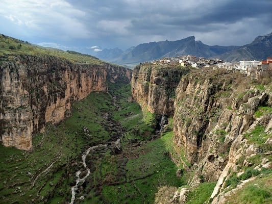
Iraqi Kurdistan Mountain Route
Iraq
In short: Iraqi Kurdistan Mountain Route is a about 650 km mountain road trip in Iraq, typically driven over 4 days, best in Apr–Jun, Sep–Nov. Highlights: Erbil, Shaqlawa, Bekhal and Gali Ali Beg.
A corrected four-day mountain sequence from Erbil through Shaqlawa, Bekhal, Gali Ali Beg, Rawanduz and the Hamilton Road, then Barzan, Amadiya and Duhok—held behind the current Level 4 warning.
Make this route yours
Set your dates, pace, and taste, and RoadAtlas AI rebuilds this trip day by day with real, verified places.
Included with Traveler and Explorer plans.
Plan this trip
Third-party planning links may be affiliate links. RoadAtlas stays independent, and you should verify details with the provider.
Day-by-day itinerary
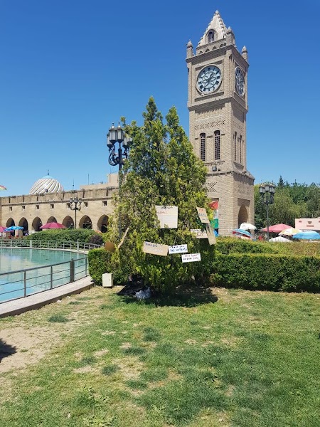
Day 1Erbil → Shaqlawa → Bekhal/Korek (about 125 km; reference plan only while Level 4 remains)
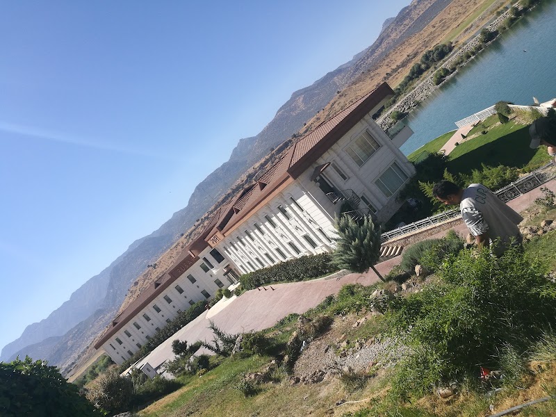
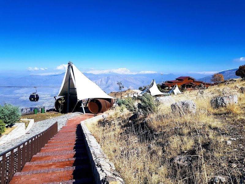
Level 4 go/no-go gate · Erbil to Shaqlawa · Chiya Restaurant – Korek Mountain Resort
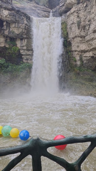
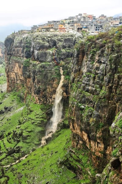
Day 2Korek/Bekhal → Gali Ali Beg → Rawanduz/Hamilton Road → Barzan (about 190 km)
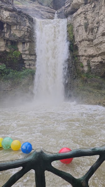
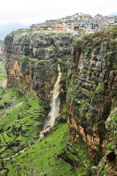
Gali Ali Beg waterfall · Rawanduz and Hamilton Road · Prearranged Barzan lodging meal
Day 3Barzan → Amadiya (about 220 km; full mountain day)
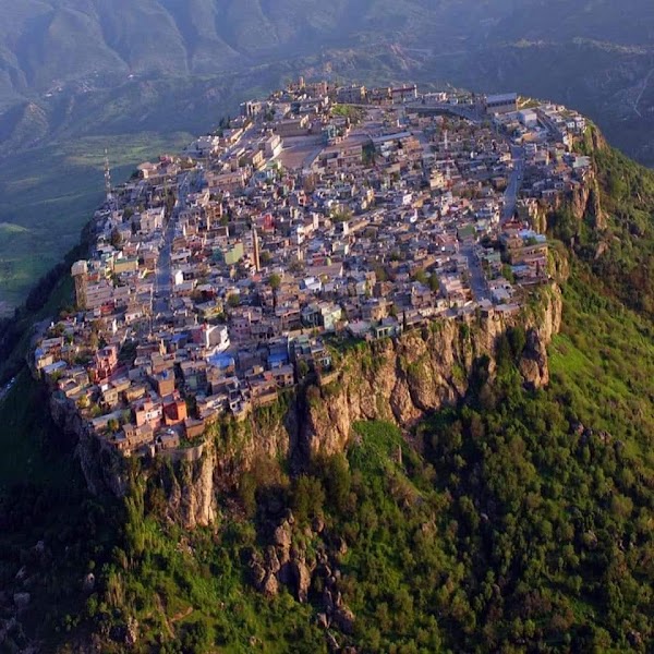
Cleared westbound transfer · Amadiya old town · Prearranged Amadiya lodging meal
Day 4Amadiya → Duhok (about 75 km; endpoint day)
Daylight drive to Duhok · Duhok finish · Preconfirmed Duhok hotel restaurant
Stops along the route
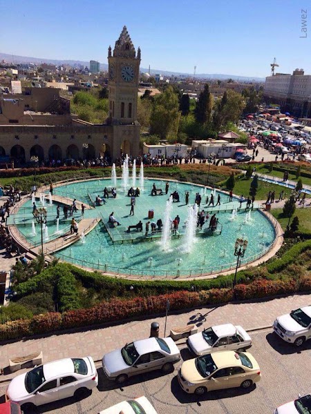
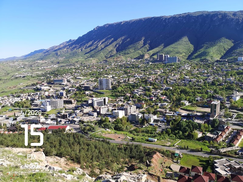
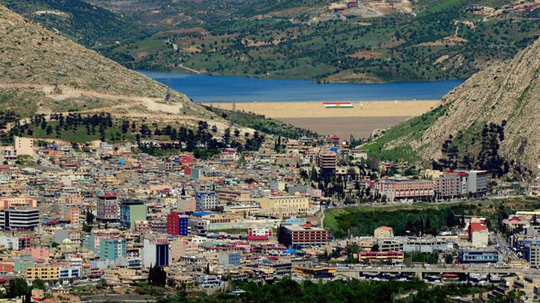
Things to Do
Show 2 more
Where to Eat
Nearby and similar drives
Frequently asked questions
How long is the Iraqi Kurdistan Mountain Route drive?
The Iraqi Kurdistan Mountain Route covers about 650 km from start to finish.
How long does the Iraqi Kurdistan Mountain Route take to drive?
Most travellers spend 4 days on the Iraqi Kurdistan Mountain Route, depending on stops and pace.
When is the best time to drive the Iraqi Kurdistan Mountain Route?
The recommended season for the Iraqi Kurdistan Mountain Route is Apr–Jun, Sep–Nov.
Where does the Iraqi Kurdistan Mountain Route start and end?
The Iraqi Kurdistan Mountain Route runs from Erbil to Duhok.
What are the main stops on the Iraqi Kurdistan Mountain Route?
The Iraqi Kurdistan Mountain Route passes through Erbil, Shaqlawa, Bekhal and Gali Ali Beg.
How difficult is the Iraqi Kurdistan Mountain Route to drive?
The Iraqi Kurdistan Mountain Route is rated moderate and is best handled with any vehicle.
Can I drive the Iraqi Kurdistan Mountain Route in a regular car?
Yes — the Iraqi Kurdistan Mountain Route is paved end-to-end and a regular car is fine in normal conditions.
How many fuel stops are needed on the Iraqi Kurdistan Mountain Route?
Plan around 1 refuels (or about 2 EV charges) along the Iraqi Kurdistan Mountain Route, based on its about 650 km length.
Is the Iraqi Kurdistan Mountain Route safe to drive?
DO NOT TRAVEL: as of July 13, 2026, the U.S. State Department places Iraq, including the Kurdistan Region, at Level 4 (advisory issued March 2, 2026) because of terrorism, kidnapping, armed conflict, civil unrest and limited emergency support. Northern border areas also face military activity and aerial bombardment. This route is reference material, not reassurance or a recommendation. Do not depart unless official advice changes; any future journey needs a reputable local security provider/driver, daily route clearance and prearranged lodging.
What scenic tier is the Iraqi Kurdistan Mountain Route?
The Iraqi Kurdistan Mountain Route is a iconic drive — Iconic road trips that anchor a region's reputation — postcard scenery, headline highways, and the routes most travellers want to drive.