Gunbarrel Highway and Great Central Road to Uluru
Australia
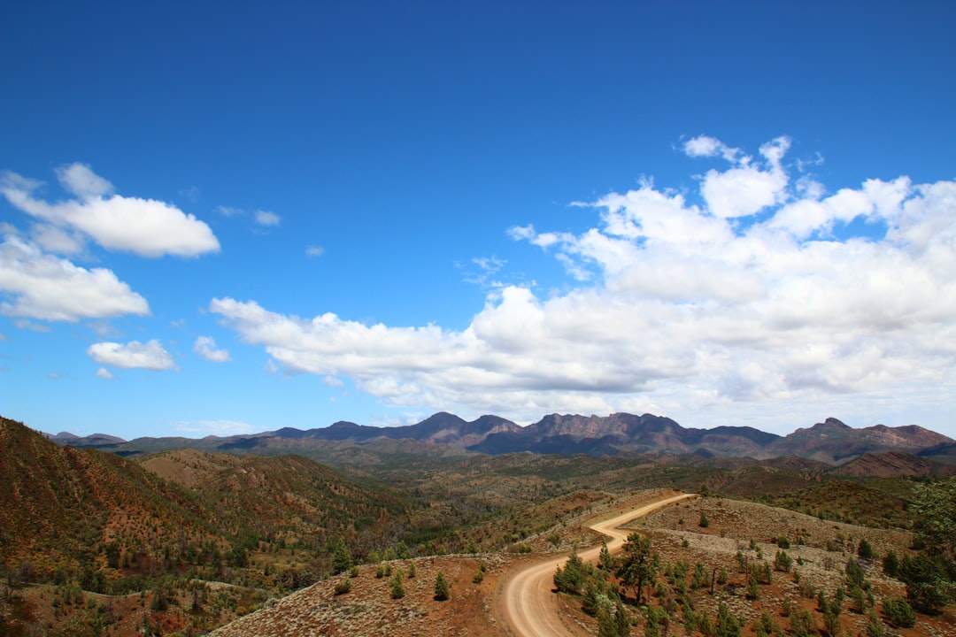
In short: Gunbarrel Highway and Great Central Road to Uluru is a 1,500 km desert road trip in Australia, typically driven over 7 days, best in May–Sep. Highlights: Wiluna, Carnegie Station, Everard Junction.
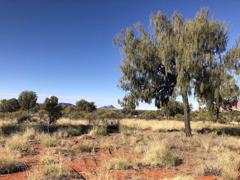
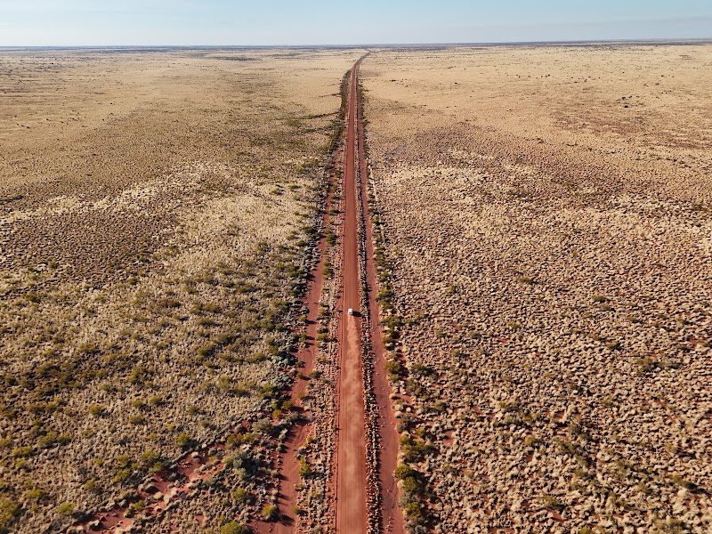
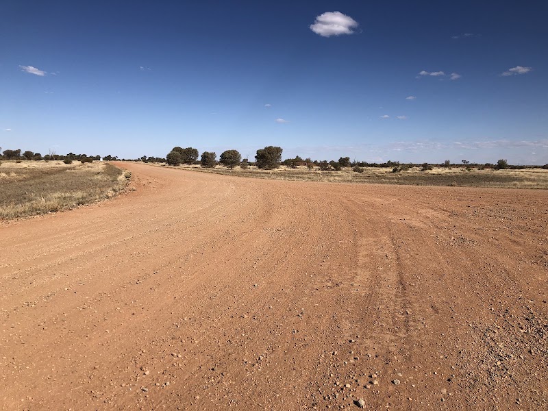
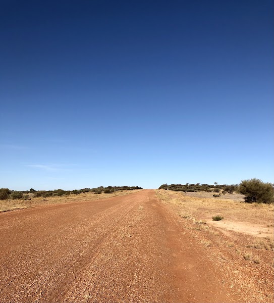
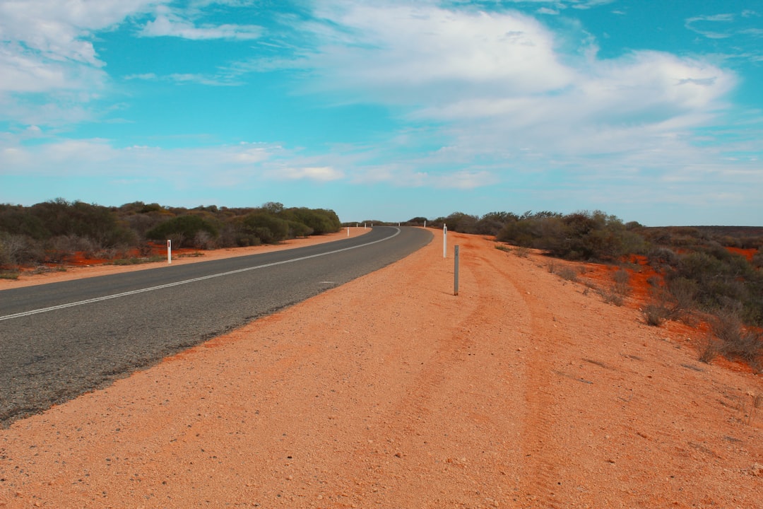
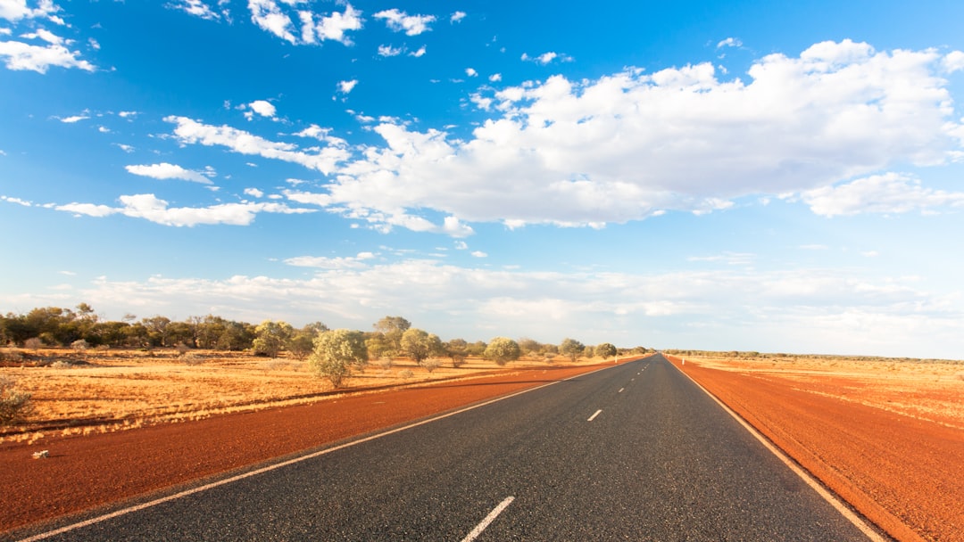
An expedition from Wiluna over the Gunbarrel corridor to Warburton, then along the Great Central Road through Warakurna and Docker River to Yulara, followed by a separate Uluru day.
Make this route yours
Set your dates, pace, and taste, and RoadAtlas AI rebuilds this trip day by day with real, verified places.
Included with Traveler and Explorer plans.
Plan this trip
Third-party planning links may be affiliate links. RoadAtlas stays independent, and you should verify details with the provider.
Day-by-day itinerary
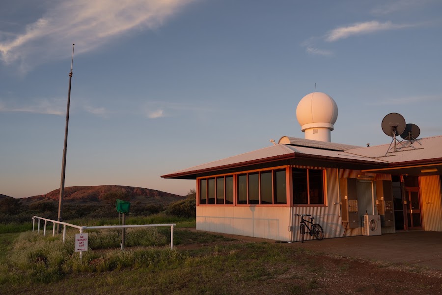
Day 1Wiluna to Carnegie Station
Gunbarrel Highway expedition start · Carnegie Station booked meal
Day 2Carnegie Station to Everard Junction sector
Carnegie to Everard Junction · Carried Everard Junction camp meal
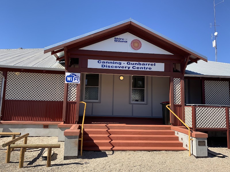
Day 3Everard Junction sector to Warburton
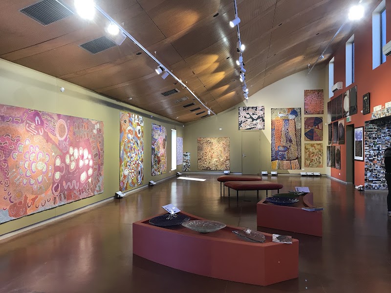
Tjulyuru Regional Arts Gallery · Warburton Roadhouse
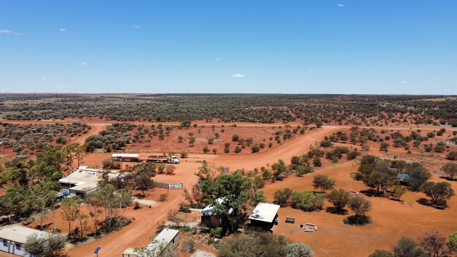
Day 4Warburton to Warakurna on the Great Central Road
Great Central Road transfer · Warakurna Roadhouse
Day 5Warakurna and Giles to Docker River
Giles Weather Station tour · Self-catering expedition meal
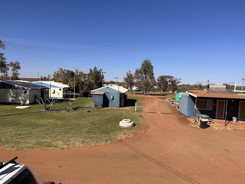
Day 6Docker River to Yulara
Docker River to Yulara transfer · Kulata Academy Cafe
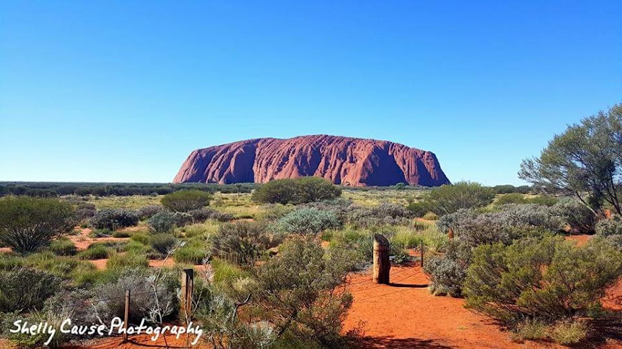
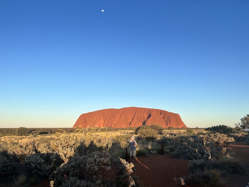
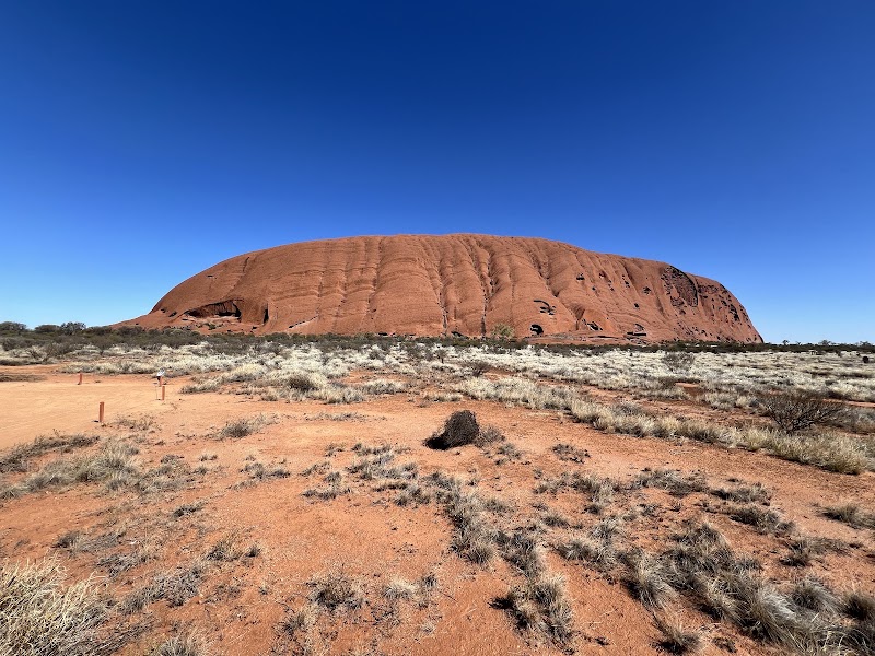
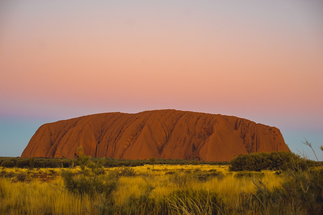
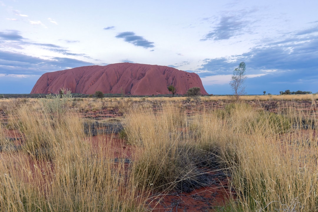
Day 7Uluru-Kata Tjuta National Park
Uluru Base Walk · Ilkari Restaurant
Stops along the route
Things to Do
Show 3 more
Where to Eat

Nearby and similar drives
Frequently asked questions
How long is the Gunbarrel Highway and Great Central Road to Uluru drive?
The Gunbarrel Highway and Great Central Road to Uluru covers 1,500 km from start to finish.
How long does the Gunbarrel Highway and Great Central Road to Uluru take to drive?
Most travellers spend 7 days on the Gunbarrel Highway and Great Central Road to Uluru, depending on stops and pace.
When is the best time to drive the Gunbarrel Highway and Great Central Road to Uluru?
The recommended season for the Gunbarrel Highway and Great Central Road to Uluru is May–Sep.
Where does the Gunbarrel Highway and Great Central Road to Uluru start and end?
The Gunbarrel Highway and Great Central Road to Uluru runs from Wiluna to Uluru.
What are the main stops on the Gunbarrel Highway and Great Central Road to Uluru?
The Gunbarrel Highway and Great Central Road to Uluru passes through Wiluna, Carnegie Station, Everard Junction.
How difficult is the Gunbarrel Highway and Great Central Road to Uluru to drive?
The Gunbarrel Highway and Great Central Road to Uluru is rated extreme and is best handled with 4wd only.
Do I need a 4WD for the Gunbarrel Highway and Great Central Road to Uluru?
Yes — the Gunbarrel Highway and Great Central Road to Uluru includes off-road or rough sections that require 4wd only.
Do I need a permit or border paperwork for the Gunbarrel Highway and Great Central Road to Uluru?
Yes — the Gunbarrel Highway and Great Central Road to Uluru requires permits, fees, or border paperwork. Plan ahead: This is an expedition combining the remote Gunbarrel Highway with the Great Central Road. Obtain every current Aboriginal-land transit permit well before departure (https://www.ngaanyatjarraku.wa.gov.au/tourist-information/plan-your-trip/aboriginal-land-permits.aspx), confirm processing/community restrictions, and check the Shire road report (https://www.ngaanyatjarraku.wa.gov.au/road-conditions/road-reports.aspx) before each section. Use a prepared high-clearance 4WD convoy with two spares, calculated fuel/water, recovery gear, satellite communications and contingencies; do not enter communities without permission.
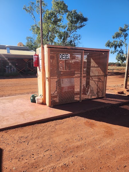
How many fuel stops are needed on the Gunbarrel Highway and Great Central Road to Uluru?
Plan around 2 refuels (or about 5 EV charges) along the Gunbarrel Highway and Great Central Road to Uluru, based on its 1,500 km length.
Is the Gunbarrel Highway and Great Central Road to Uluru safe to drive?
This is an expedition combining the remote Gunbarrel Highway with the Great Central Road. Obtain every current Aboriginal-land transit permit well before departure (https://www.ngaanyatjarraku.wa.gov.au/tourist-information/plan-your-trip/aboriginal-land-permits.aspx), confirm processing/community restrictions, and check the Shire road report (https://www.ngaanyatjarraku.wa.gov.au/road-conditions/road-reports.aspx) before each section. Use a prepared high-clearance 4WD convoy with two spares, calculated fuel/water, recovery gear, satellite communications and contingencies; do not enter communities without permission.
What scenic tier is the Gunbarrel Highway and Great Central Road to Uluru?
The Gunbarrel Highway and Great Central Road to Uluru is a iconic drive — Iconic road trips that anchor a region's reputation — postcard scenery, headline highways, and the routes most travellers want to drive.