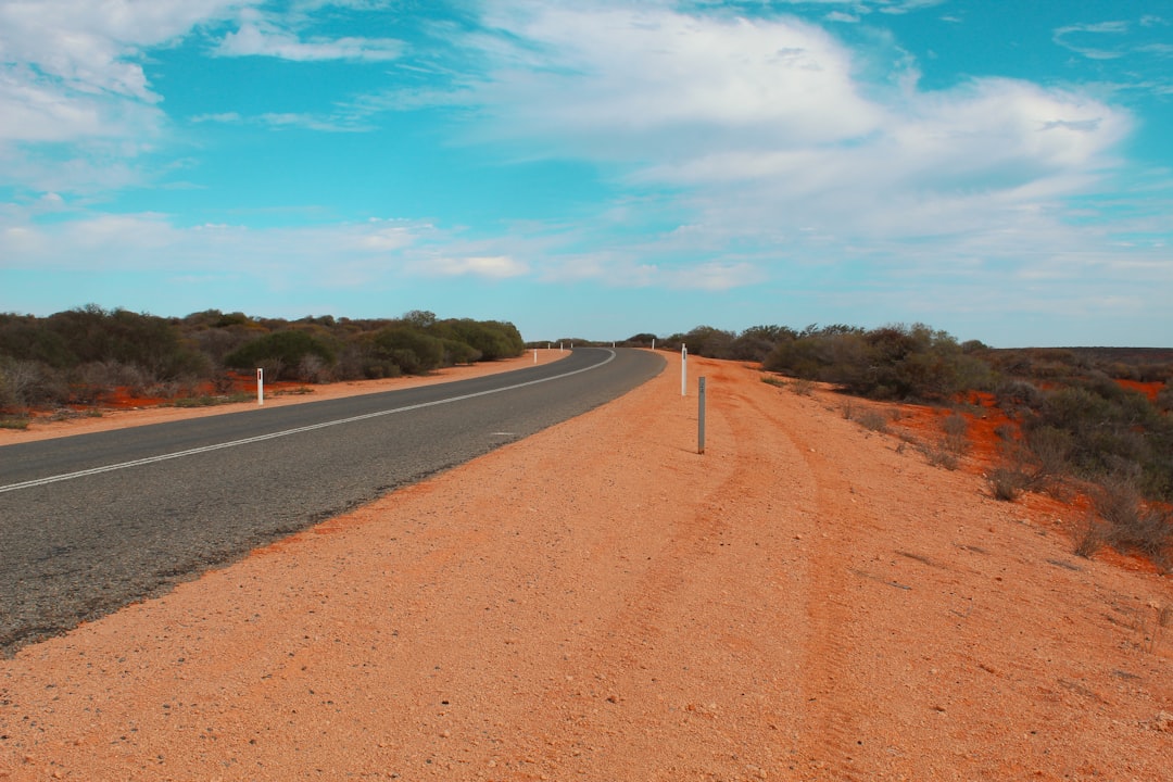
Canning Stock Route
Australia
In short: Canning Stock Route is a 1,850+ km desert road trip in Australia, typically driven over 21 days including 3 contingency days, best in May–Sep. Highlights: Wiluna, Wells 5-15 sector, Wells 16-23 sector.
A 21-day expedition template from Wiluna through the complete permitted Wells 5-51 corridor to Billiluna and Halls Creek. Exact camps and GPS positions must come from the issued vehicle permit and official information pack.
Make this route yours
Set your dates, pace, and taste, and RoadAtlas AI rebuilds this trip day by day with real, verified places.
Included with Traveler and Explorer plans.
Plan this trip
Third-party planning links may be affiliate links. RoadAtlas stays independent, and you should verify details with the provider.
Day-by-day itinerary
Day 1Wiluna: permits, vehicle inspection and expedition packing
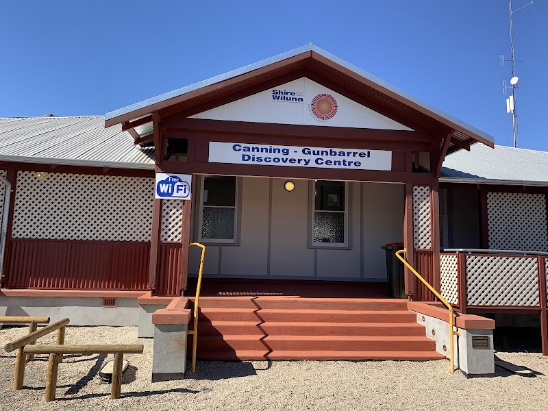
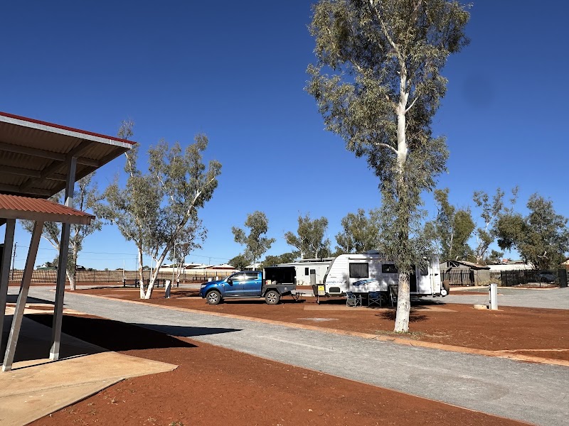
Canning-Gunbarrel Discovery Centre · Wiluna Caravan Park camp kitchen
Day 2Wiluna to permit-approved camp near Wells 1-5
Wells 1-5 sector · Wiluna-packed expedition rations
Day 3Well 5 to permit-approved camp near Well 9 (Palatji)
Well 9 / Palatji sector · Well 9 camp ration
Day 4Well 9 to permit-approved camp near Wells 12-15
Wells 12-15 sector · Well 15 sector camp ration
Day 5Wells 15-18 permitted corridor
Wells 15-18 sector · Well 18 sector camp ration
Day 6Wells 18-23 permitted corridor
Well 23 / Kalypa sector · Well 23 sector camp ration
Day 7Well 23 to Georgia Bore / Wells 24-26 sector
Georgia Bore supply check · Georgia Bore ration and water check
Day 8Wells 26-30 permitted corridor
Wells 26-30 sector · Well 30 sector camp ration
Day 9Wells 30-33 to Kunawarritji
Kunawarritji / Well 33 logistics stop · Kunawarritji Community Store supplies
Day 10Contingency and vehicle-maintenance day at the approved Well 33 sector camp
Expedition contingency day · Contingency-day expedition ration
Day 11Wells 33-36 permitted corridor
Wells 33-36 sector · Well 36 sector camp ration
Day 12Wells 36-39 permitted corridor
Wells 36-39 sector · Well 39 sector camp ration
Day 13Wells 39-42 permitted corridor
Wells 39-42 sector · Well 42 sector camp ration
Day 14Wells 42-46 permitted corridor
Wells 42-46 sector · Well 46 sector camp ration
Day 15Wells 46-49 permitted corridor
Wells 46-49 sector · Well 49 sector camp ration
Day 16Wells 49-51 and Billiluna exit
Well 51 to Billiluna exit · Billiluna Store supplies
Day 17Billiluna to Halls Creek
Halls Creek arrival and vehicle check · Kimberley Hotel restaurant
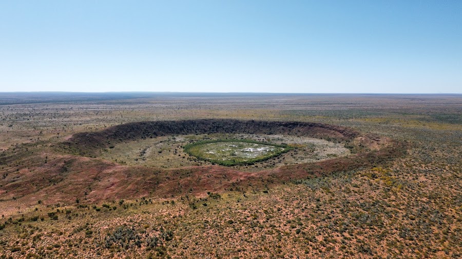
Day 18Optional Wolfe Creek Crater side trip from Halls Creek
Wolfe Creek Crater · Halls Creek packed side-trip meal
Day 19Halls Creek recovery and contingency day
Mechanical and crew recovery · Confirmed Halls Creek lodging meal
Day 20Unused expedition contingency day
Weather and access contingency · Contingency food reserve
Day 21Unused expedition contingency day
Emergency schedule margin · Final emergency schedule ration
Stops along the route
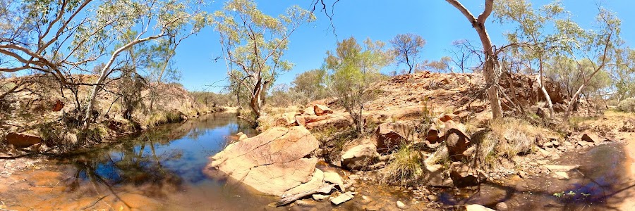
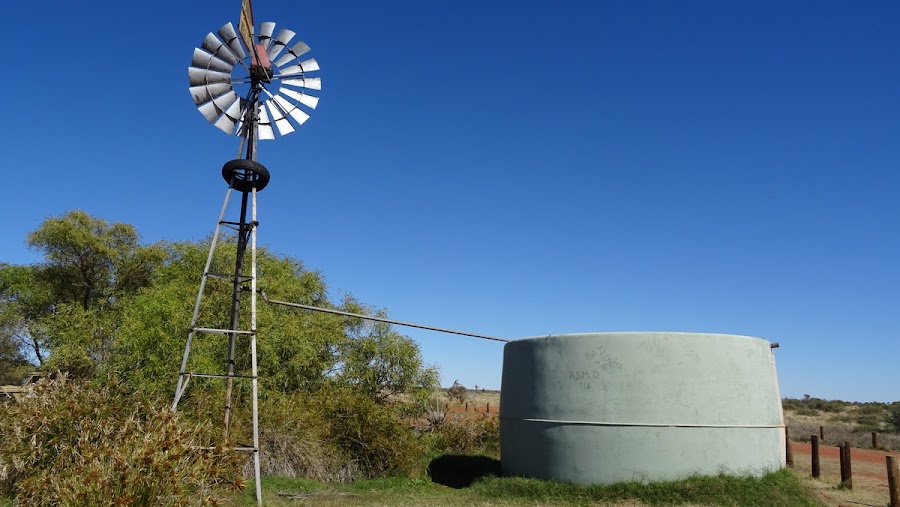
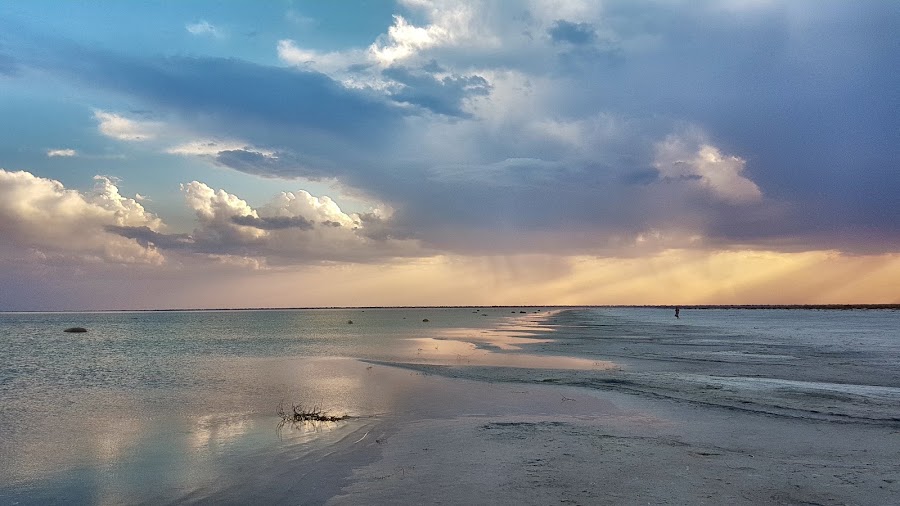
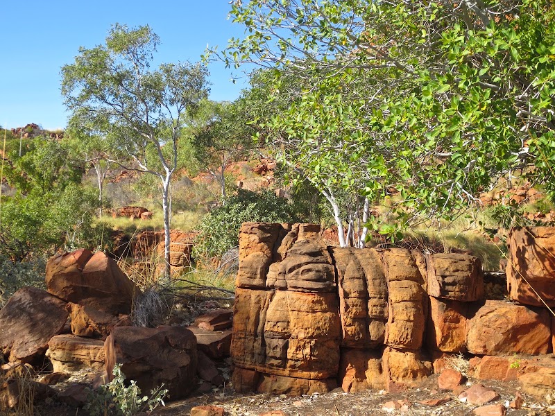
Things to Do
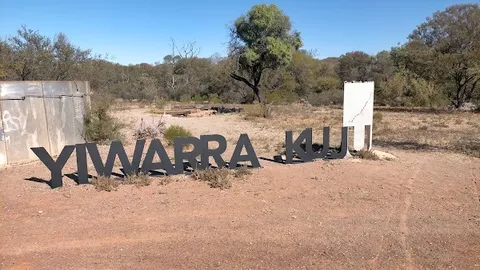
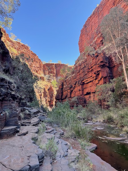
Show 19 more
Where to Eat
Nearby and similar drives


Frequently asked questions
How long is the Canning Stock Route drive?
The Canning Stock Route covers 1,850+ km from start to finish.
How long does the Canning Stock Route take to drive?
Most travellers spend 21 days including 3 contingency days on the Canning Stock Route, depending on stops and pace.
When is the best time to drive the Canning Stock Route?
The recommended season for the Canning Stock Route is May–Sep.
Where does the Canning Stock Route start and end?
The Canning Stock Route runs from Wiluna to Halls Creek.
What are the main stops on the Canning Stock Route?
The Canning Stock Route passes through Wiluna, Wells 5-15 sector, Wells 16-23 sector.
How difficult is the Canning Stock Route to drive?
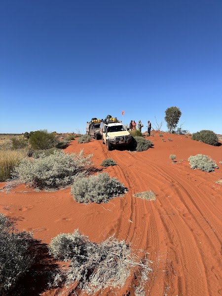
The Canning Stock Route is rated extreme and is best handled with 4wd only.
Do I need a 4WD for the Canning Stock Route?
Yes — the Canning Stock Route includes off-road or rough sections that require 4wd only.
Do I need a permit or border paperwork for the Canning Stock Route?
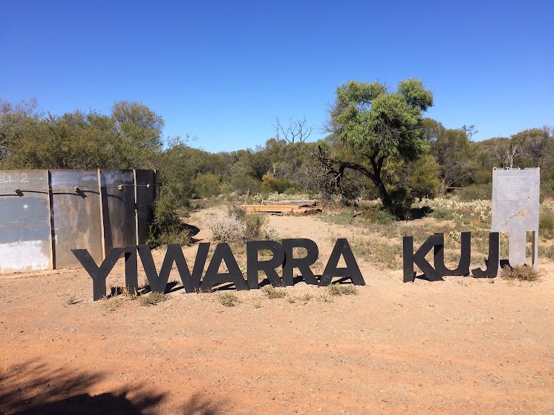
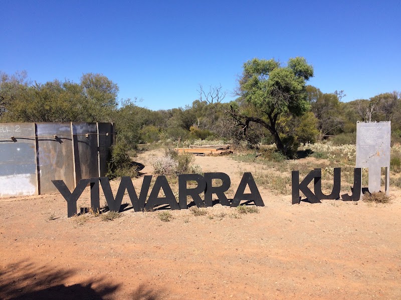
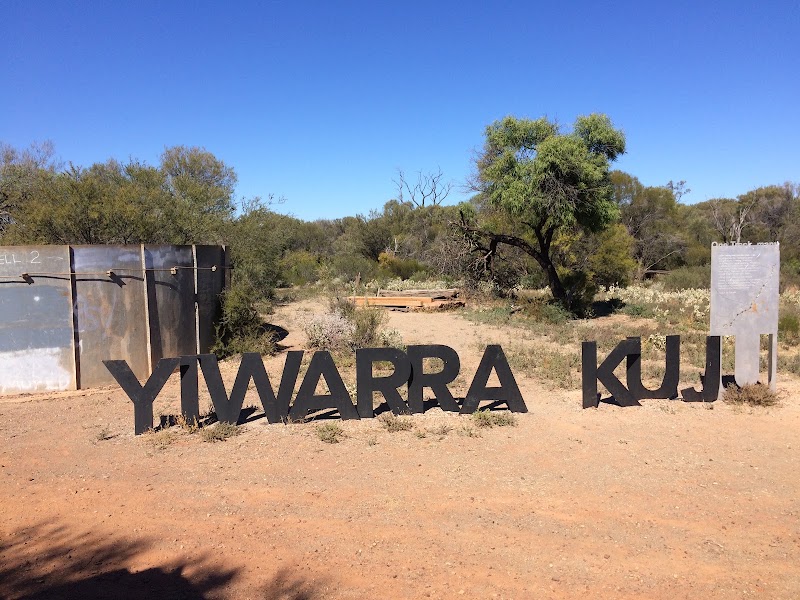
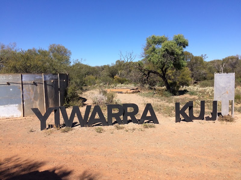
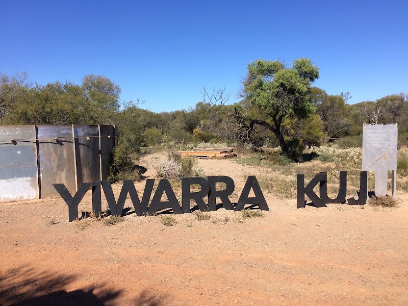
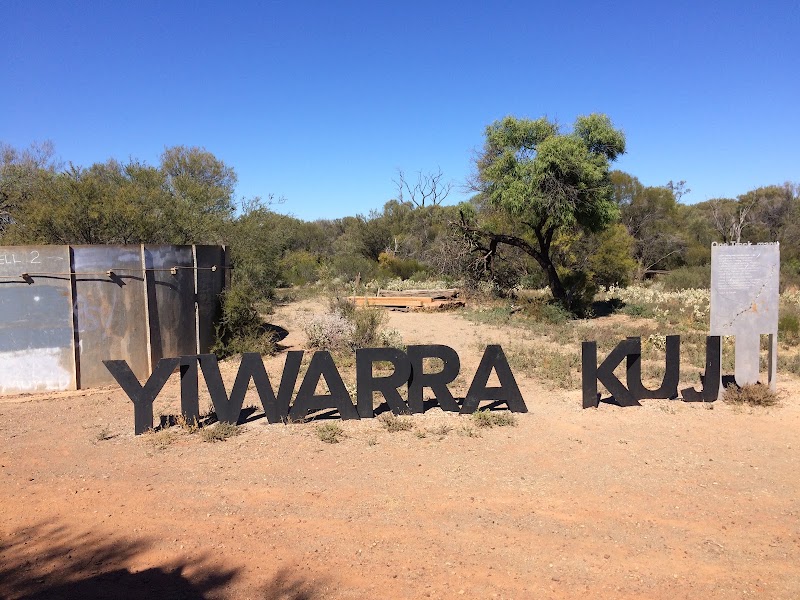
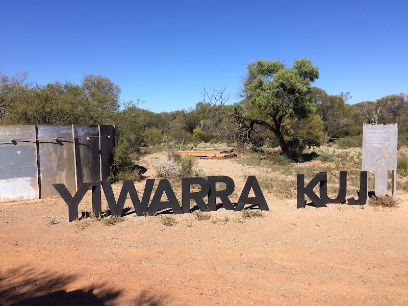
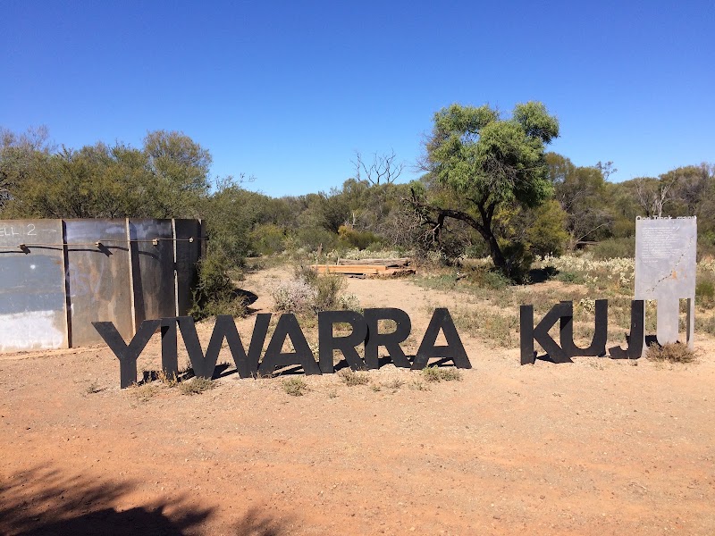
Yes — the Canning Stock Route requires permits, fees, or border paperwork. Plan ahead: A current Yiwarra Kuju/CSR permit is required for every vehicle (https://permits.canningstockroute.net.au/) and authorizes only the formed track and adjacent permitted wells/camps in that issued permit; it does not authorize community entry or excluded cultural areas. Carry it in each vehicle and load the official permit-pack coordinates offline. Confirm every access station, Traditional Owner restriction, closure, fuel drop and supply. Use an expedition 4WD convoy with satellite/UHF/PLB, multiple spares, recovery/fire/waste equipment, calculated fuel/water and at least three unused contingency days. Never create a campsite.
Is the Canning Stock Route safe to drive?
A current Yiwarra Kuju/CSR permit is required for every vehicle (https://permits.canningstockroute.net.au/) and authorizes only the formed track and adjacent permitted wells/camps in that issued permit; it does not authorize community entry or excluded cultural areas. Carry it in each vehicle and load the official permit-pack coordinates offline. Confirm every access station, Traditional Owner restriction, closure, fuel drop and supply. Use an expedition 4WD convoy with satellite/UHF/PLB, multiple spares, recovery/fire/waste equipment, calculated fuel/water and at least three unused contingency days. Never create a campsite.
What scenic tier is the Canning Stock Route?
The Canning Stock Route is a iconic drive — Iconic road trips that anchor a region's reputation — postcard scenery, headline highways, and the routes most travellers want to drive.