
Stuart Highway
Australia
In short: Stuart Highway is a 2,835 km desert road trip in Australia, typically driven over 9 days, best in May-September. Highlights: Adelaide, Port Augusta, Coober Pedy.
Australia’s legendary north-south spine, the Stuart Highway runs from Adelaide’s fringe to Darwin through red desert, relentless highway horizons, and iconic outback stops. It links Alice Springs, Tennant Creek, and Katherine, delivering a practical road trip through the country’s most expansive inland landscapes.
Make this route yours
Set your dates, pace, and taste, and RoadAtlas AI rebuilds this trip day by day with real, verified places.
Included with Traveler and Explorer plans.
Plan this trip
Third-party planning links may be affiliate links. RoadAtlas stays independent, and you should verify details with the provider.
Day-by-day itinerary
Day 1Adelaide to Port Augusta
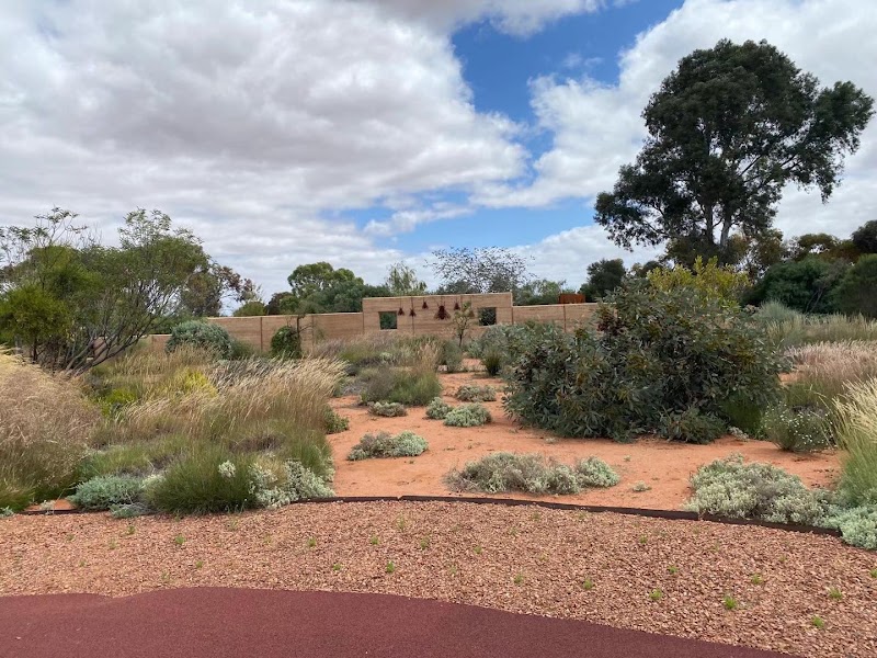
Australian Arid Lands Botanic Garden · Standpipe Restaurant
Day 2Port Augusta to Coober Pedy
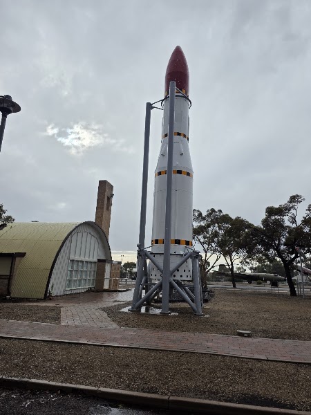
Woomera Heritage Centre and Missile Park · John's Pizza Bar and Restaurant
Day 3Coober Pedy to Erldunda
Coober Pedy-Erldunda transfer · Erldunda Roadhouse
Day 4Erldunda to Alice Springs
Alice Springs arrival · Epilogue Lounge
Day 5Alice Springs
Alice Springs Desert Park · Page 27 Cafe
Day 6Alice Springs to Tennant Creek via Karlu Karlu
Karlu Karlu / Devils Marbles · Tennant Creek Memorial Club
Day 7Tennant Creek to Katherine
Tennant Creek-Katherine transfer · Katherine Country Club
Day 8Katherine and Nitmiluk
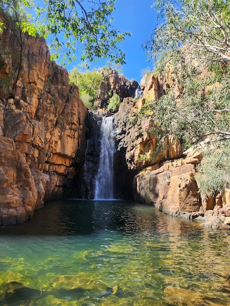
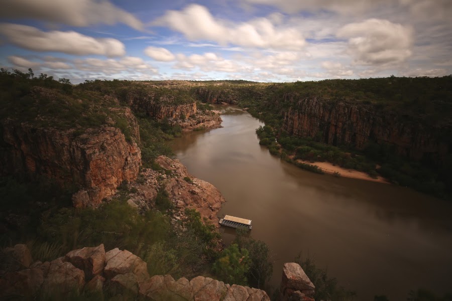
Nitmiluk Gorge cruise · Nitmiluk Cafe
Day 9Katherine to Darwin
Katherine-Darwin direct transfer · Hanuman Darwin
Stops along the route






Things to Do



Show 5 more




Where to Eat






Show 3 more


Nearby and similar drives



Frequently asked questions
How long is the Stuart Highway drive?
The Stuart Highway covers 2,835 km from start to finish.
How long does the Stuart Highway take to drive?
Most travellers spend 9 days on the Stuart Highway, depending on stops and pace.
When is the best time to drive the Stuart Highway?
The recommended season for the Stuart Highway is May-September.
Where does the Stuart Highway start and end?
The Stuart Highway runs from Adelaide to Darwin.
What are the main stops on the Stuart Highway?
The Stuart Highway passes through Adelaide, Port Augusta, Coober Pedy.
How difficult is the Stuart Highway to drive?
The Stuart Highway is rated moderate and is best handled with any vehicle.
Can I drive the Stuart Highway in a regular car?
Yes — the Stuart Highway is paved end-to-end and a regular car is fine in normal conditions.
How many fuel stops are needed on the Stuart Highway?
Plan around 5 refuels (or about 10 EV charges) along the Stuart Highway, based on its 2,835 km length.
Is the Stuart Highway safe to drive?
Plan daylight-only driving, cap scheduled driving at eight hours a day and rest at least every two hours. Refuel at every planned outback town, carry water, food, offline maps, tyre repair equipment and remote communications, and give road trains space. Check SA Outback Roads and the NT Road Report (https://roadreport.nt.gov.au/) immediately before each leg. This direct highway plan excludes West MacDonnell, Barkly Highway and Litchfield detours.
What scenic tier is the Stuart Highway?
The Stuart Highway is a iconic drive — Iconic road trips that anchor a region's reputation — postcard scenery, headline highways, and the routes most travellers want to drive.