Highway 1, Florida
United States
In short: Highway 1, Florida is a 764 km scenic road trip in United States, typically driven over 5–7 days, best in Nov–Apr. Highlights: Amelia Island, St. Augustine, Daytona Beach.
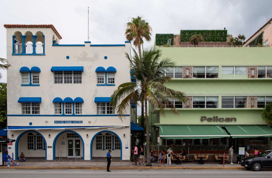
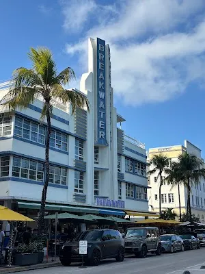
US-1 traces Florida's Atlantic spine from the Georgia border to Miami Beach, through the Golden Isles, historic St Augustine, Kennedy Space Center, the Space Coast, and Miami's art deco shore. Not to be confused with the Keys Overseas Highway; this is Florida's forgotten Atlantic coast road through lighthouse towns, rocket launch pads, and Art Deco glamour.
Make this route yours
Set your dates, pace, and taste, and RoadAtlas AI rebuilds this trip day by day with real, verified places.
Included with Traveler and Explorer plans.
Plan this trip
Third-party planning links may be affiliate links. RoadAtlas stays independent, and you should verify details with the provider.
Day-by-day itinerary
Day 1Amelia Island / Fernandina Beach
Fort Clinch State Park · Fernandina Beach Historic District · Espresso Stop Café
Day 2St. Augustine
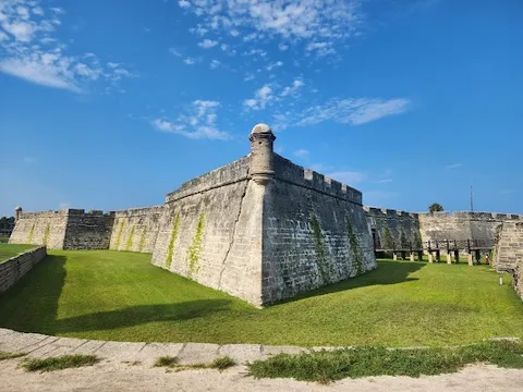
Castillo de San Marcos · St. George Street · The Floridian
Day 3Daytona Beach / New Smyrna Beach
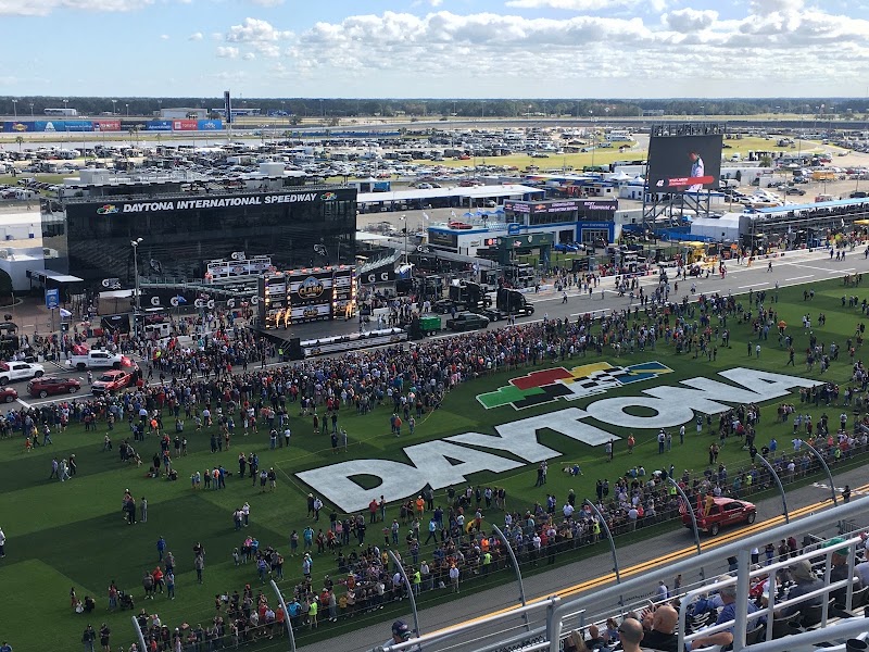
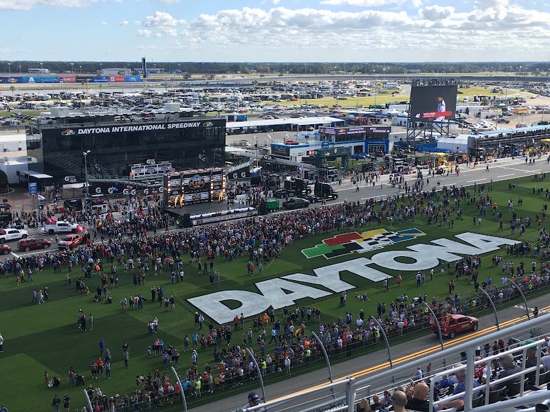
Daytona International Speedway · Daytona Beach Boardwalk and Pier · The Garlic
Day 4Cape Canaveral / Cocoa Beach
Kennedy Space Center Visitor Complex · Cocoa Beach Pier · Coconuts on the Beach
Day 5Palm Beach / Miami Beach
Vizcaya Museum and Gardens · Miami Beach Boardwalk · Joe's Stone Crab
Stops along the route

Things to Do
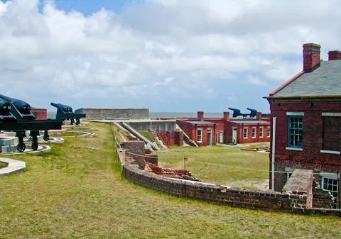
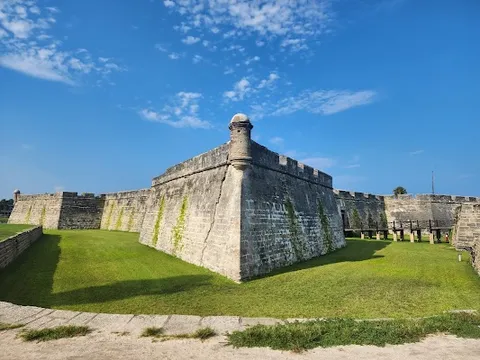
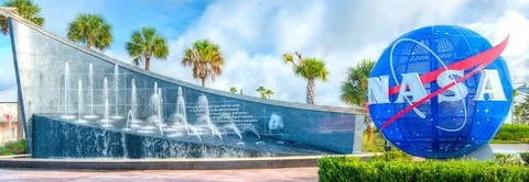
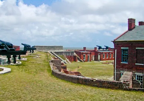
Show 1 more

Where to Eat




Nearby and similar drives
Frequently asked questions
How long is the Highway 1, Florida drive?
The Highway 1, Florida covers 764 km from start to finish.
How long does the Highway 1, Florida take to drive?
Most travellers spend 5–7 days on the Highway 1, Florida, depending on stops and pace.
When is the best time to drive the Highway 1, Florida?
The recommended season for the Highway 1, Florida is Nov–Apr.
Where does the Highway 1, Florida start and end?
The Highway 1, Florida runs from Amelia Island to Miami Beach Art Deco District.
What are the main stops on the Highway 1, Florida?
The Highway 1, Florida passes through Amelia Island, St. Augustine, Daytona Beach.
How difficult is the Highway 1, Florida to drive?
The Highway 1, Florida is rated easy and is best handled with any vehicle.
Can I drive the Highway 1, Florida in a regular car?
Yes — the Highway 1, Florida is paved end-to-end and a regular car is fine in normal conditions.
How many fuel stops are needed on the Highway 1, Florida?
Plan around 1 refuels (or about 2 EV charges) along the Highway 1, Florida, based on its 764 km length.
Is the Highway 1, Florida EV friendly?
Yes — the Highway 1, Florida has charger coverage along the route and works as an EV road trip.
Is the Highway 1, Florida safe to drive?
US-1 is mostly straightforward, but expect urban congestion around Jacksonville, Daytona, West Palm Beach, and Miami, plus frequent toll roads and bridge lifts on the east coast. Summer brings heavy rain, afternoon storms, and hurricane-related closures; check for local beach driving rules and launch-related access limits near Cape Canaveral.
What scenic tier is the Highway 1, Florida?
The Highway 1, Florida is a notable drive — Notable scenic drives — strong character routes that locals know well and that reward travellers willing to step beyond the most-photographed roads.