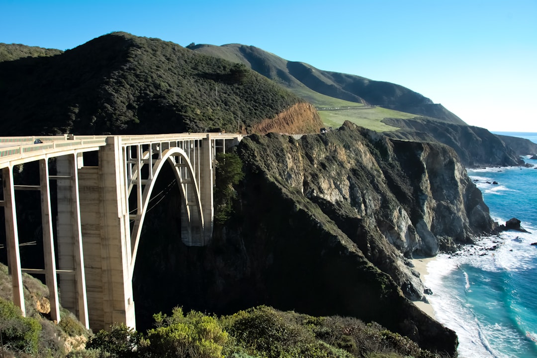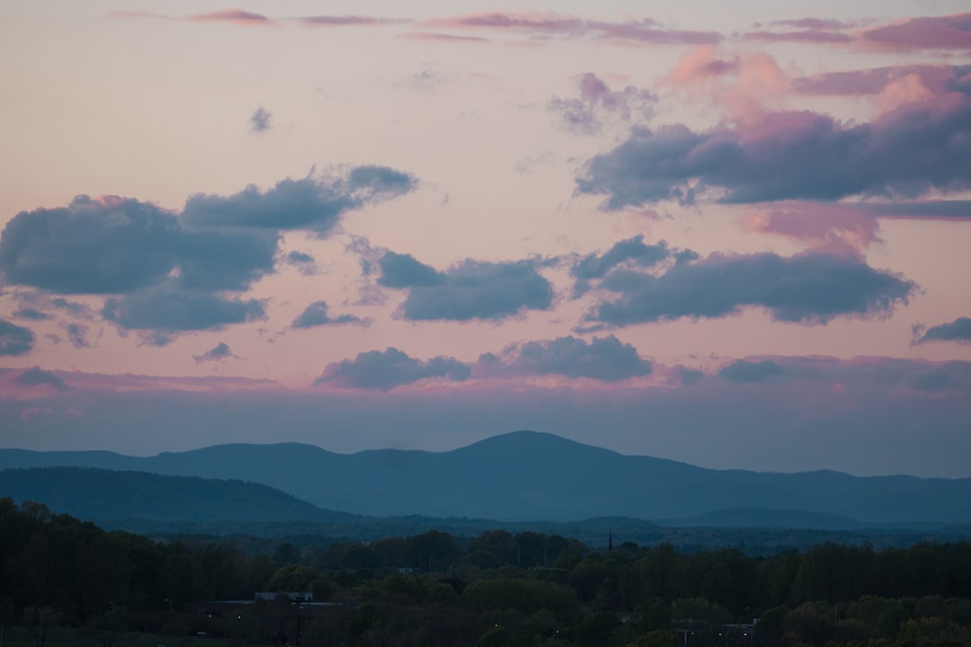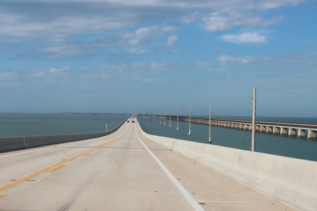
The Overseas Highway runs 230 km down US-1 from the Florida mainland to Key West, crossing 42 bridges over open turquoise water. Give it two days rather than one: the drive itself takes only about four hours nonstop, but the reef, the beaches, and the sunset at the bottom of the continent are the whole point.
This is a key-by-key guide to America's road that goes to sea, built around the real stops along the Overseas Highway. It is an easy, fully paved drive that suits any vehicle, including EVs, so the only real questions are where to stop and when to go.
The Overseas Highway at a glance
US-1 leaves Florida City on the mainland and hops from island to island all the way to Cuba's latitude, threading the Florida Keys on a chain of causeways and bridges. On both sides you get shallow flats in a dozen shades of blue, pelicans on every railing, and the strange thrill of driving across the sea. It follows the path of Henry Flagler's Overseas Railroad, wiped out by the 1935 hurricane and rebuilt as a highway, and the old railway bridges still run alongside the modern ones.
- Distance: 230 km, Florida City to Key West
- Time needed: 2 days (1 is possible but rushed)
- Difficulty: easy, fully paved, any vehicle
- Best season: November to April (dry, mild, low humidity)
- EV-friendly: yes, with chargers in Key Largo, Marathon, and Key West
One local quirk to learn before you go: everything in the Keys is measured by mile markers (MM), small green signs that count down from around MM 113 near Key Largo to MM 0 in Key West. Businesses give their address as a mile marker, so "MM 82, oceanside" is a real direction. It is the easiest navigation system you will ever use.
How long do you need?
The full run is short enough to drive in an afternoon, but that misses the reef and the beaches that make the Keys worth the trip. Here is what each length realistically buys you.
| Trip length | What you fit | Best for |
|---|---|---|
| 1 day | A straight drive to Key West, Seven Mile Bridge, sunset at Mallory Square | A quick out-and-back from Miami |
| 2 days | Snorkelling at Key Largo, Bahia Honda beach, a night in Key West | First-timers who want the highlights |
| 3 to 4 days | Diving, backcountry fishing, kayaking the flats, slow island time | Divers, anglers, and slow travellers |
The most common mistake is treating the highway as a transit route to Key West and blowing past the middle Keys. The reef off Key Largo and the beach at Bahia Honda are the best of the whole drive, and both sit in the stretch most people skip.
Key by key, mainland to Key West
Key Largo: the reef
The first island and the self-styled dive capital of the continental US. John Pennekamp Coral Reef State Park protects the only living coral reef in the country, and glass-bottom boats, snorkel trips, and dive charters run out to it all day. Even if you never get in the water, the park's mangrove channels and the famous Christ of the Abyss statue offshore set the tone for everything below.
Islamorada: the Village of Islands
A string of small keys known for world-class sportfishing, roadside stone crab shacks, and tiki bars strung along the water. Sunsets here face west over Florida Bay, so this is a fine spot to slow down for a late lunch and watch the light go. Look for the giant lobster sculpture at Rain Barrel Village, an artisan market that makes an easy leg-stretch.
Marathon and the Seven Mile Bridge
Marathon sits at the heart of the Keys and marks the start of the drive's signature moment. The Seven Mile Bridge carries US-1 for nearly 11 km across open water, the longest of the 42 bridges, with the abandoned Flagler railroad bridge running elegantly alongside. It is the shot everyone comes for. Marathon also has the Dolphin Research Center and turtle hospital if you are travelling with kids.
Bahia Honda: the best beach
Just past the bridge lies Bahia Honda State Park, widely called the best beach in the Keys: silver sand under the arch of the old railway bridge, a shallow reef for easy snorkelling just offshore, and tarpon rolling in the channel below. Most true beaches in the Keys are small and man-made, which makes Bahia Honda's natural sand and clear water the exception worth planning around.
Key West: mile zero
The road ends at Key West, Mile 0 of US-1 and just 90 miles from Cuba. Walk Duval Street's bars, tour the Ernest Hemingway Home with its famous six-toed cats, snap the photo at the southernmost point buoy, and finish at Mallory Square, where the whole town gathers each evening to applaud the sun into the Gulf. It is touristy and it does not care, and the sunset ceremony is genuinely worth staying a night for.
When to drive it
The catalog season is November to April, the dry season, when the air is mild, the humidity drops, and hurricane risk is low. This is also peak visitor season, so traffic can crawl through the single-lane stretches on winter weekends and holidays. Start early, fuel up before the long bridge gaps, and book accommodation in Key West well ahead.
Summer is hot, humid, and firmly inside hurricane season, which runs June to November. The water is warmest and the crowds thinnest, but afternoon storms and the real risk of road closures make it a gamble. If you drive in those months, watch the forecast closely and keep your plans flexible.
Frequently asked questions
How long does it take to drive the Overseas Highway?
Driving nonstop from Florida City to Key West takes about four hours to cover the 230 km. To actually enjoy the Keys, plan two days: one to snorkel the reef and reach a middle-Keys base, and one to finish at Key West and catch the Mallory Square sunset.
What is the best time of year to drive the Florida Keys?
November to April is ideal. The dry season brings mild temperatures, low humidity, and minimal hurricane risk. It is also the busiest and priciest window, so book ahead. Summer is hotter, cheaper, and quieter but falls in hurricane season, with afternoon storms and possible closures.
Is the Overseas Highway safe and easy to drive?
Yes. US-1 is fully paved and rated easy, suitable for any vehicle including EVs, which can charge in Key Largo, Marathon, and Key West. The main challenges are heavy tourist traffic in winter, gusty conditions on the long bridges, and seasonal hurricane closures, not the road itself.
Which is the best stop on the Overseas Highway?
For most travellers it is a tie between John Pennekamp Coral Reef State Park at Key Largo, home to the only living coral reef in the continental US, and Bahia Honda State Park, the best natural beach in the Keys. Both sit in the middle of the drive that day-trippers tend to skip.
Do you need a car for the Florida Keys?
Yes. There is no rail service and limited transit, so a car is the practical way to explore the Keys and stop at the reef parks, beaches, and mile-marker restaurants along the way. Build your route on the interactive map and drive it at your own pace.
Plan your drive
Ready to map it out? See the full Overseas Highway route guide for every stop in order, compare it with the West Coast classic Pacific Coast Highway or the mountain calm of the Blue Ridge Parkway, and build your own version on the interactive map.