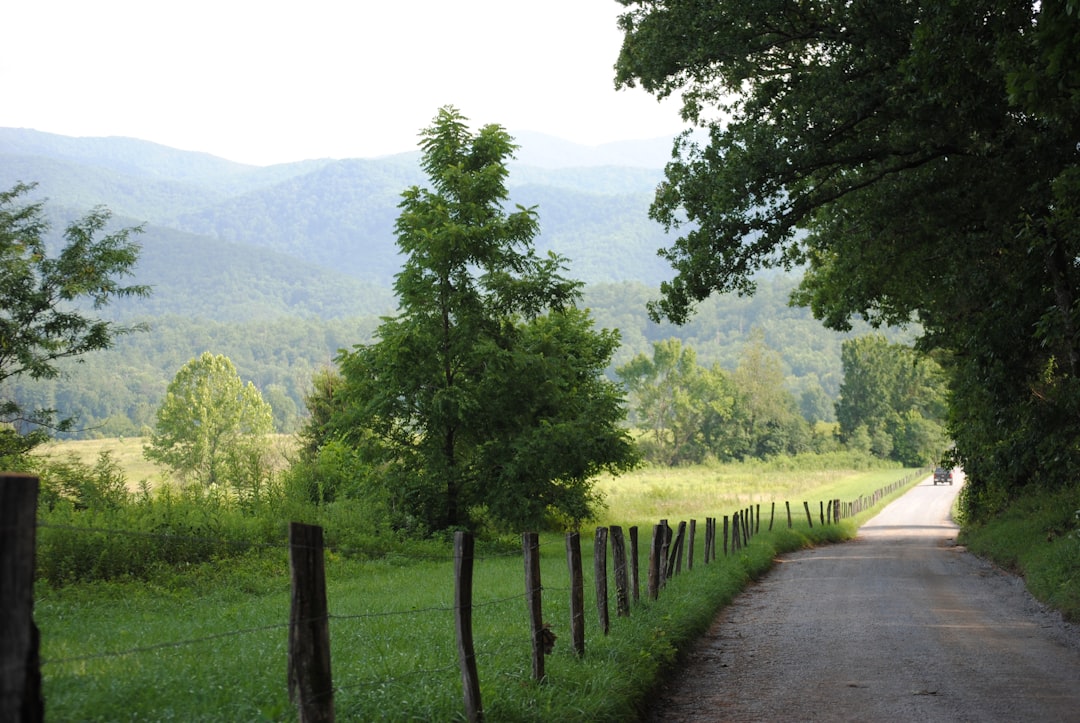
The Great River Road runs about 3,000 miles (4,800 km) down the Mississippi from Lake Itasca in Minnesota to New Orleans, and 14 days covers all ten river states without rushing the best stretches. The route is signed through Minnesota, Wisconsin, Iowa, Illinois, Missouri, Kentucky, Tennessee, Arkansas, Mississippi, and Louisiana, tracing the river from a spot where you can step across it on stones to the delta city where it meets the Gulf.
This is a stop-by-stop plan built around the river's big landscapes and cultural cities rather than every signed alternate. Read the full Great River Road route guide first, then trace the whole line on the interactive map.
The route at a glance
The drive starts in the North Woods lake country of Minnesota, picks up bluff scenery through Wisconsin and Iowa, turns urban at St. Louis and Memphis, then settles into the levee roads and river towns of the Deep South. These six sections split the 3,000 miles into a two-week run.
| Section | States | Days | Overnight | Highlight |
|---|---|---|---|---|
| Headwaters and the North Woods | Minnesota | 1 to 3 | Grand Rapids, Minneapolis | Stepping across the Mississippi at Itasca |
| Bluff country | Wisconsin, Iowa, Illinois | 4 to 6 | La Crosse, Dubuque | River Museum and Aquarium at Dubuque |
| Missouri and the confluence | Missouri, Illinois | 7 to 8 | St. Louis | Gateway Arch and the Ohio junction at Cairo |
| Into the Delta | Kentucky, Tennessee | 9 to 10 | Memphis | Beale Street and the levee at Memphis |
| The lower Mississippi | Arkansas, Mississippi | 11 to 12 | Vicksburg, Natchez | Vicksburg battlefield and the Natchez bluffs |
| Louisiana finish | Louisiana | 13 to 14 | New Orleans | French Quarter and the working river |
The road is rated easy and runs fine in any well-kept vehicle, with charging common enough for an EV. Expect flood detours, levee-road and bridge closures, and summer heat in the south, so check each state's road status as you go.
Days 1 to 3: the headwaters and Minnesota
Start at Itasca State Park, where the Mississippi leaves its source lake as a stream shallow enough to wade. The short Headwaters Trail and the line of stepping stones are the most symbolic few minutes of the whole drive. Pine forest and lakes carry you south to Grand Rapids, a North Woods river town of mills and trails that makes an easy first night. By Minneapolis and Saint Paul the river has become an urban corridor of locks, waterfalls, and old flour-mill districts, worth a full day before you leave the Twin Cities.
Days 4 to 6: bluff country in Wisconsin and Iowa
South of the cities the Mississippi widens between limestone bluffs, and this is the prettiest stretch of the Upper River. La Crosse brings Wisconsin back into the route with classic bluff-top overlooks. Across the water in Iowa, Dubuque stacks its old downtown against the cliffs, and the National Mississippi River Museum and Aquarium lays out the river's ecology and steamboat history in a way that frames the rest of the trip. The Quad Cities straddle the Iowa and Illinois banks around a working lock, a good place to watch barges lift and drop between pools.
Days 7 to 8: Missouri and the confluence
St. Louis is where the riverfront turns fully urban. Ride to the top of the Gateway Arch for the long view over the water, and give the city a night. Route 66 once crossed the Mississippi here on its way west, so the Route 66 corridor makes a natural detour if you have extra days. South of the city the land flattens toward Cairo, Illinois, where the Mississippi takes in the Ohio River. Levees and low floodplain define this quiet junction, and the river below it carries noticeably more water.
Days 9 to 10: into the Delta
Cross into Kentucky for a short stop at Wickliffe Mounds, where an Indigenous settlement site sits near the meeting of the two rivers. Then comes Memphis, the first big city of the Delta and the heart of this half of the drive. Beale Street, barbecue, and the downtown bluff over the river carry the trip's strongest run of music and food. Walk the levee at dusk and the scale of the lower Mississippi starts to show.
Days 11 to 12: the lower Mississippi
Helena, Arkansas anchors the Delta's blues and levee country on the west bank. Back on the Mississippi side, Vicksburg National Military Park spreads its monuments and earthworks across hills above a river bend, pairing Civil War history with some of the best river views on the route. Natchez sits higher still, a town of long bluff overlooks and old homes above the water. The Natchez Trace Parkway begins here and runs inland to Nashville, which makes Natchez a good place to decide whether to carry on south or turn off toward Tennessee.
Days 13 to 14: the Louisiana finish
Below Natchez the river grows industrial as you reach Baton Rouge, Louisiana's capital, where waterfront paths and historic streets keep the stop lively. The last run follows old river roads and levee stretches with big skies before the route ends in New Orleans. Give the city two days for the French Quarter, the music, and the working river. Venice, farther down the delta, is an optional add-on best reached by charter rather than driven as part of the main line.
When to drive the Great River Road
The road is best from spring through fall. The northern states run on fall colour: late September into October turns the bluffs of Minnesota, Wisconsin, and Iowa, which is reason enough to drive the Upper River in autumn. The southern states are more comfortable outside the summer, when Delta heat and humidity peak and afternoon storms are common. If you are splitting the trip, spring and fall suit the lower river best, while midsummer favours the cooler north. Whatever the month, watch state road reports for flood and levee closures along the river.
What you need to prepare
The river's scale is the main planning factor, since detours around closed levee roads and bridges can add hours.
- Book city overnights in Minneapolis, St. Louis, Memphis, and New Orleans ahead, where parking and rooms get tight.
- Check each state's department of transportation for flood, ferry, bridge, and construction changes before each leg.
- Plan around summer heat and storms in the south, and avoid any closed or industrial levee segments.
- Keep fuel or charging buffers through the rural Delta stretches between the big cities.
Frequently asked questions
How long does it take to drive the Great River Road?
Plan 14 days for the full ten-state highlights run from Lake Itasca to New Orleans. You can cover one half in about a week by splitting the trip at St. Louis or Memphis.
Where does the Great River Road start and end?
The signed route follows the Mississippi from its headwaters at Lake Itasca in Minnesota to New Orleans in Louisiana, touching all ten river states. Venice, below New Orleans in the delta, is an optional extension usually reached by charter.
When is the best time to drive the Great River Road?
Spring through fall. Late September and October bring fall colour to the northern bluffs in Minnesota, Wisconsin, and Iowa, while spring and fall are the most comfortable seasons for the hot, humid southern states.
Do you need a special vehicle for the Great River Road?
No. The route is rated easy and paved throughout, so any well-kept car handles it, and charging is common enough for an EV. Plan more for flood detours and levee-road closures than for the driving itself.
Can you drive just part of the Great River Road?
Yes. St. Louis and Memphis both make natural halfway points, so you can drive the Upper River through the bluff country or the lower river through the Delta as a standalone week.
Open the full Great River Road route guide for every stop, and plot your own version on the interactive map.