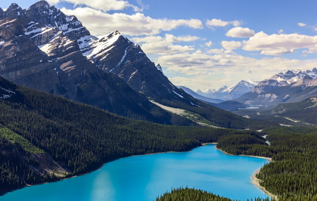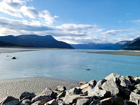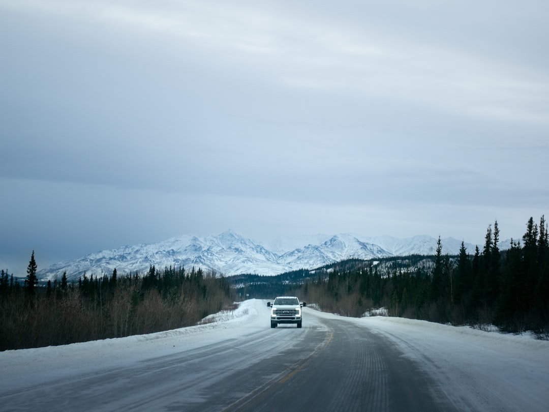
The Alaska Highway runs 2,400 km from Dawson Creek in British Columbia to Delta Junction in Alaska, and 8 to 10 days is enough to drive it without treating the remote stretches as a sprint. Built in eight months in 1942 to link Alaska to the Lower 48, the ALCAN crosses boreal forest, glacial rivers, and the long silences of the Yukon, with more wildlife on the road shoulders than almost any drive on the continent.
This is a stop-by-stop plan for a northbound run, with the border rules to sort out and the fuel gaps to plan around. Read the full Alaska Highway route guide before you commit, then plot the whole line on the interactive map.
The route at a glance
The drive climbs from prairie into the Northern Rockies, crosses the Yukon, then drops into Alaska's interior. Watson Lake and Whitehorse split it into manageable thirds.
| Section | Days | Overnights | Don't miss |
|---|---|---|---|
| Mile 0 into the Rockies | 1 to 2 | Fort Nelson | Boreal forest north of Dawson Creek |
| Northern Rockies to Watson Lake | 3 to 4 | Muncho Lake, Watson Lake | Liard River Hot Springs |
| Into the Yukon | 5 to 6 | Whitehorse | Sign Post Forest, S.S. Klondike |
| Kluane and the border | 7 to 8 | Haines Junction, Tok | Kluane National Park |
| Alaska's interior | 9 to 10 | Delta Junction, Fairbanks | Delta Junction terminus |
Total driving is 2,400 km over paved and roughened surfaces. The route is rated moderate and runs fine in any well-maintained vehicle, but expect frost heaves, gravel roadworks, and long gaps between services.
Days 1 to 2: Dawson Creek to Fort Nelson
Start at the Mile 0 Post in Dawson Creek, the official beginning of the ALCAN. Grain elevators and flat prairie give way to boreal forest within an hour of heading north. Fort Nelson is the last major service town before the mountains, so top up the fuel tank and stock the cooler here. Stone Mountain and the Muncho Lake wilderness begin just past town.
Days 3 to 4: the Northern Rockies to Watson Lake
This is the wildest stretch of the drive. Muncho Lake is a 12 km glacially carved lake of copper-green water fed by mineral springs, and stone sheep and woodland caribou often walk the road shoulder at dawn. Farther on, Liard River Hot Springs sits in lush boreal forest and makes the easiest soak on the whole highway. Cross into the Yukon at Watson Lake, where the Sign Post Forest holds more than 100,000 signs nailed up by travellers since 1942. The Northern Lights Centre in town explains the aurora you may see later. Watson Lake is the natural first-half overnight.
Days 5 to 6: into the Yukon and Whitehorse
Whitehorse is the Yukon's capital and the highway's midpoint, the place to resupply and rest. The S.S. Klondike sternwheeler sits dry-docked on the riverbank, and Miles Canyon cuts the Yukon River just outside town. The Yukon Beringia Interpretive Centre lays out the Ice Age land bridge with fossils and interactive displays. Give the city a full night before the run to the border.
Days 7 to 8: Kluane and the crossing into Alaska
West of Whitehorse the road skirts Haines Junction and Kluane National Park, home to the largest non-polar icefield on Earth at 5,500 sq km. Dall sheep work the slopes, grizzlies turn up on the roadside, and the St. Elias peaks stand above the clouds. Kluane Lake is the largest in the Yukon and a good place to stretch. Carry your passport for the Canada to US crossing, then reach Tok, the first Alaskan town, a frontier junction with fuel and food.
Days 9 to 10: Tok to Fairbanks
From Tok the highway runs to Delta Junction, the official end of the Alaska Highway at mile 1422, where the ALCAN meets the Richardson Highway. A second milepost marks the true terminus, and Rika's Roadhouse nearby preserves a slice of early Alaskan life. Most drivers carry on to Fairbanks, Alaska's interior capital and an aurora hub, where the Trans-Alaska Pipeline crosses the road. The University of Alaska Museum of the North is a fitting last stop after driving to the edge of the continent.
When to drive the Alaska Highway
Drive it between May and September, when services stay open and the road is clear of snow. June and July bring the longest daylight and the best odds of dry gravel through the roadworks. Come in early September and the tundra colours turn while the first strong auroras return to the northern sky, though nights get cold and some seasonal lodges start to close. Whatever the month, check road status and fuel daily and expect rain in the mountains.
What you need to prepare
The highway is remote enough that a little self-sufficiency saves the trip.
- Carry passports for everyone; the Canada to US border crossing is not optional.
- Plan an overnight at Watson Lake and use at least eight days, more if you want full days at Kluane.
- Keep the fuel tank above half and carry a full-size spare, since service gaps run long.
- Reconfirm remote lodge and town meals and their seasons directly, and pack contingency food.
Once you reach Alaska, the Seward Highway south of Anchorage pairs well with this drive. Coming from the south, the Icefields Parkway through the Canadian Rockies makes a strong warm-up, and both sit in our Adventure and Overland Routes collection.
Frequently asked questions
How many days do you need to drive the Alaska Highway?
Plan 8 to 10 days one way from Dawson Creek to Delta Junction or Fairbanks. That leaves room for a night at Watson Lake, a full day around Kluane, and the long service gaps in the Northern Rockies.
Do you need a passport for the Alaska Highway?
Yes. The route crosses from Canada into the United States near Tok, so every traveller needs a valid passport. Carry it within easy reach for the border check.
When is the best time to drive the Alaska Highway?
May to September. June and July give the longest daylight and the driest gravel, while early September adds autumn colour and the first auroras before seasonal services wind down.
Do you need a 4x4 for the Alaska Highway?
No. The road is paved for most of its length and rated moderate, so any well-maintained vehicle handles it. Frost heaves and gravel roadworks matter more than clearance, so slow down for rough sections and carry a full-size spare.
Open the full Alaska Highway route guide for the stop details, and plot your own version on the interactive map.