
Top of the World Highway
كندا
باختصار: Top of the World Highway رحلة مناظر طبيعية بطول 108 km في كندا، تُقطع عادةً خلال 2-3 ساعات وأفضل وقت لها يونيو-سبتمبر. أبرز المحطات: Dawson City، Midnight Dome، Top of the World Highway Lookout.
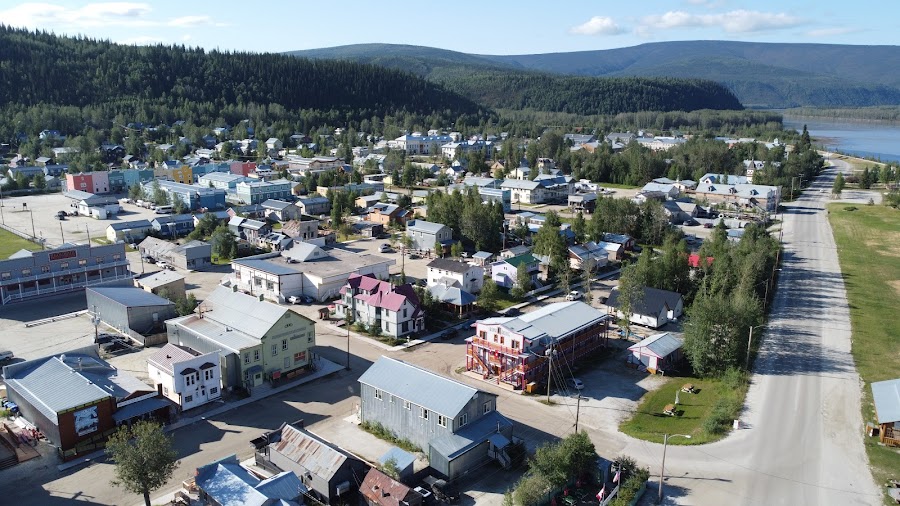
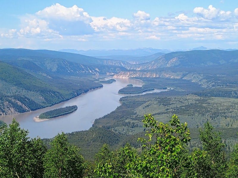
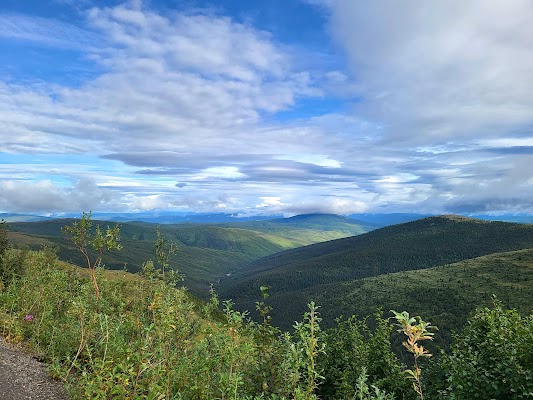
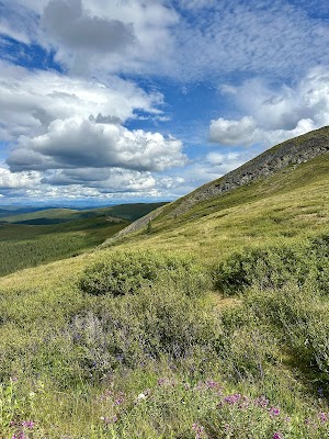
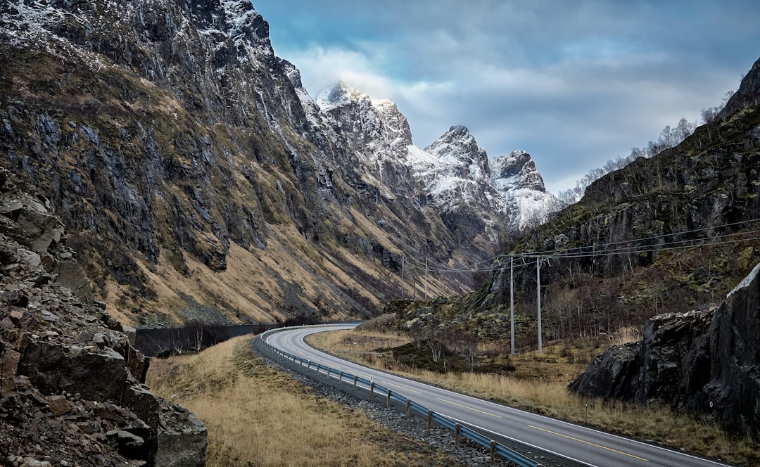
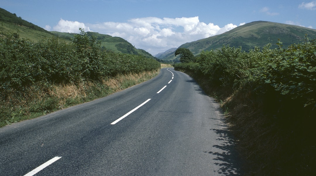
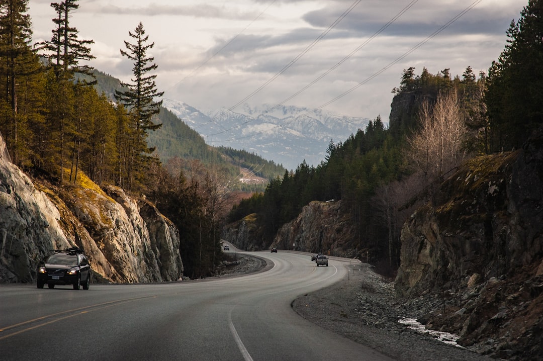
اصعد خارج Dawson City إلى حافة جبلية عالية حيث يمتد المسار الحصوي على خط تقسيم Yukon–Alaska لميل بعد ميل فوق خط الأشجار. تمنحك الرحلة إطلالات هائلة بزاوية 360 درجة، وتاريخ حُمّى الذهب، وانحدارًا دراميًا إلى معبر الحدود البعيد في Poker Creek ثم إلى Chicken, Alaska.
Plan this trip
Third-party planning links may be affiliate links. RoadAtlas stays independent, and you should verify details with the provider.
محطات على الطريق

أشياء يمكن القيام بها

أماكن الأكل

طرق ذات صلة
طرق قريبة ومشابهة
الأسئلة الشائعة
كم يبلغ طول طريق Top of the World Highway؟
يمتد طريق Top of the World Highway لمسافة 108 km من البداية إلى النهاية.
كم تستغرق رحلة Top of the World Highway؟
يقضي معظم المسافرين 2-3 ساعات على طريق Top of the World Highway، حسب التوقفات والإيقاع.
ما أفضل موسم لقيادة Top of the World Highway؟
الموسم الموصى به لطريق Top of the World Highway هو يونيو-سبتمبر.
من أين يبدأ Top of the World Highway وأين ينتهي؟
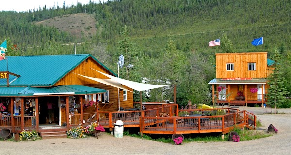
يمتد طريق Top of the World Highway من Dawson City إلى Chicken Gold Camp & Outpost.
ما أبرز محطات طريق Top of the World Highway؟
يمر طريق Top of the World Highway عبر Dawson City، Midnight Dome، Top of the World Highway Lookout.
هل يمكن قيادة Top of the World Highway بسيارة عادية؟
نعم — طريق Top of the World Highway مُعبَّد بالكامل، والسيارة العادية كافية في الظروف العادية.
هل أحتاج تصريحًا أو إجراءات حدودية لـ Top of the World Highway؟
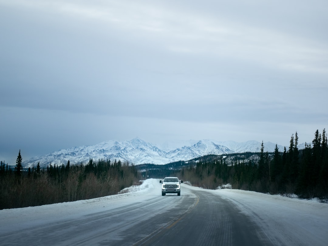
نعم — يتطلب Top of the World Highway تصاريح أو رسومًا أو إجراءات حدودية. خطط مسبقًا: هذا مسار موسمي بعيد مع معبر حدودي في Poker Creek/Top of the World. الخدمات قليلة، لذا زوّد الوقود في Dawson City وتحقق من ساعات الطريق والحدود الحالية قبل الانطلاق. توقّع انحدارات حادة وحواف مكشوفة واحتمال الإغلاق بسبب الطقس.
هل قيادة Top of the World Highway آمنة؟
هذا مسار موسمي بعيد مع معبر حدودي في Poker Creek/Top of the World. الخدمات قليلة، لذا زوّد الوقود في Dawson City وتحقق من ساعات الطريق والحدود الحالية قبل الانطلاق. توقّع انحدارات حادة وحواف مكشوفة واحتمال الإغلاق بسبب الطقس.
ما المستوى المنظري لطريق Top of the World Highway؟
Top of the World Highway طريق أيقونية — رحلات أيقونية تُرسّخ سمعة المنطقة — مناظر تشبه البطاقات البريدية، طرق مميزة، ومسارات يحلم بقيادتها معظم المسافرين.