Dempster Highway
كندا
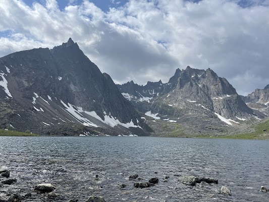
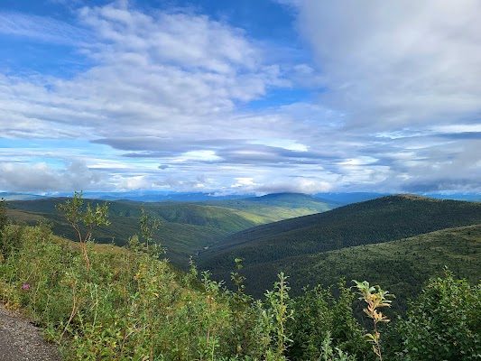
باختصار: Dempster Highway رحلة مغامرة بطول 736 km في كندا، تُقطع عادةً خلال 3–5 أيام وأفضل وقت لها يونيو–سبتمبر. أبرز المحطات: Dawson City، Tombstone Territorial Park، Eagle Plains.
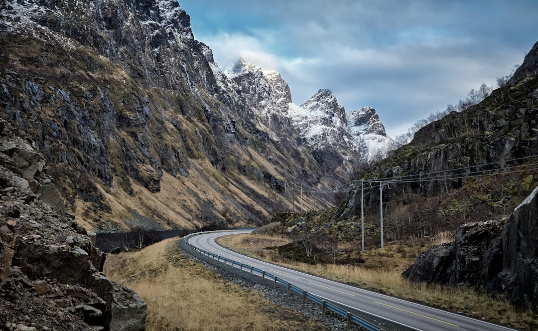
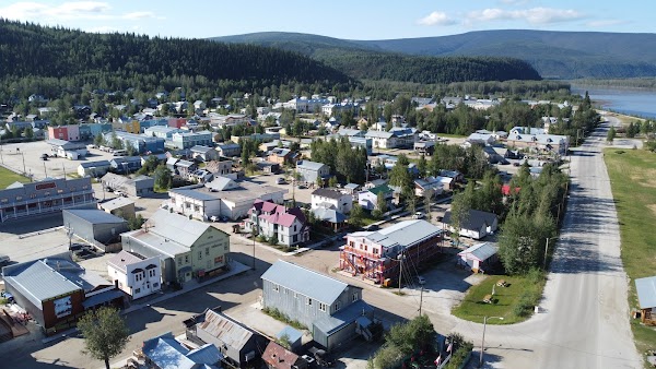
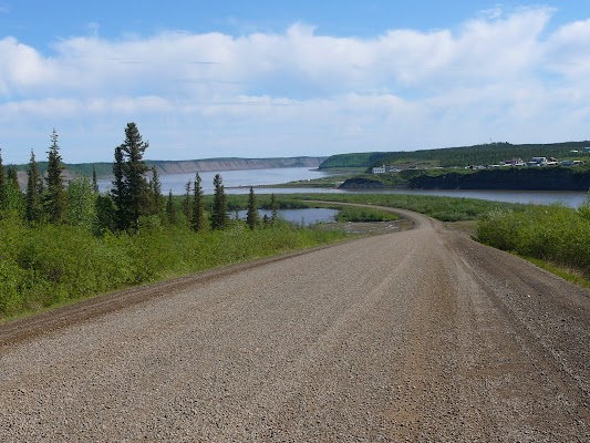
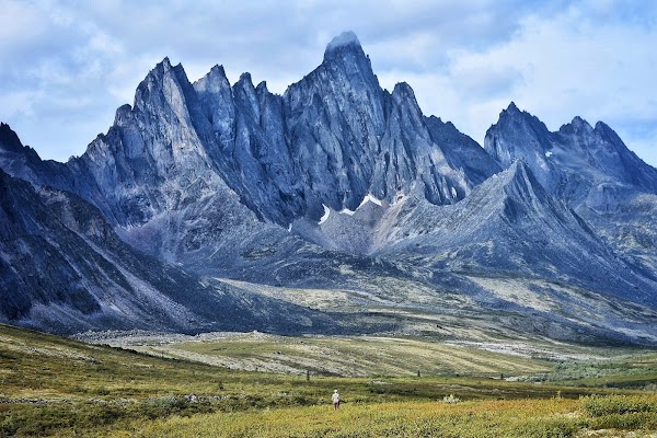
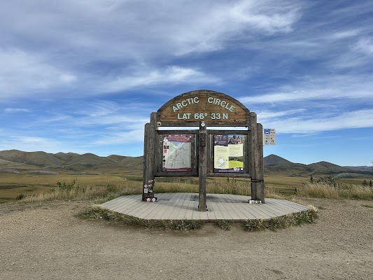
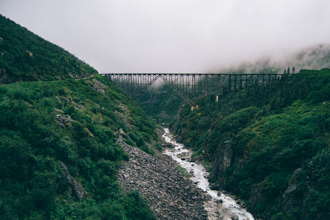
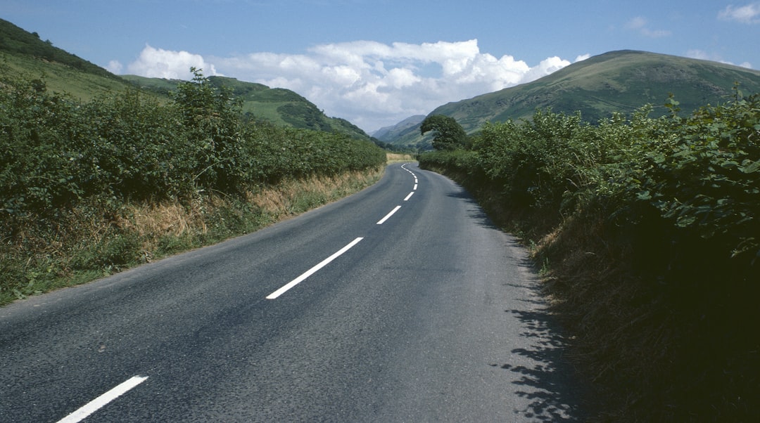
يتفرع أكثر طرق Canada وحدةً عن Klondike قرب Dawson City ويتجه شمالًا عبر البرية البكر إلى Inuvik، مرورًا بالدائرة القطبية الشمالية، وعبر عبارتين نهريتين، وخلال تندرا دائمة التجمد، وصولًا أخيرًا إلى شواطئ Mackenzie Delta. أحضر اطارين احتياطيين ومؤن طوارئ؛ فلا توجد خدمة هاتفية.
Plan this trip
Third-party planning links may be affiliate links. RoadAtlas stays independent, and you should verify details with the provider.
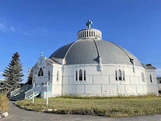
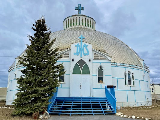
محطات على الطريق
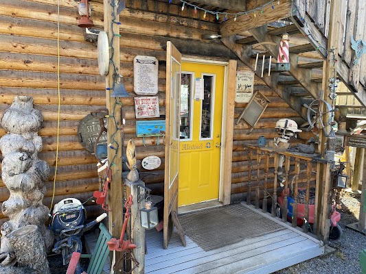
أشياء يمكن القيام بها
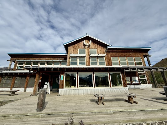
أماكن الأكل


طرق ذات صلة
طرق قريبة ومشابهة
الأسئلة الشائعة
كم يبلغ طول طريق Dempster Highway؟
يمتد طريق Dempster Highway لمسافة 736 km من البداية إلى النهاية.
كم تستغرق رحلة Dempster Highway؟
يقضي معظم المسافرين 3–5 أيام على طريق Dempster Highway، حسب التوقفات والإيقاع.
ما أفضل موسم لقيادة Dempster Highway؟
الموسم الموصى به لطريق Dempster Highway هو يونيو–سبتمبر.
من أين يبدأ Dempster Highway وأين ينتهي؟
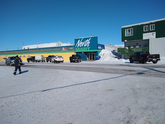
يمتد طريق Dempster Highway من Dawson City إلى Inuvik.
ما أبرز محطات طريق Dempster Highway؟
يمر طريق Dempster Highway عبر Dawson City، Tombstone Territorial Park، Eagle Plains.
ما مدى صعوبة قيادة Dempster Highway؟
يُصنّف طريق Dempster Highway على أنه صعب، ويُفضّل قطعه باستخدام لـ suv فقط.
هل أحتاج إلى دفع رباعي لقيادة Dempster Highway؟
نعم — يحتوي Dempster Highway على مقاطع وعرة أو خارج الطريق تتطلب لـ suv فقط.
هل أحتاج تصريحًا أو إجراءات حدودية لـ Dempster Highway؟
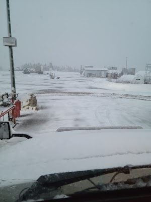
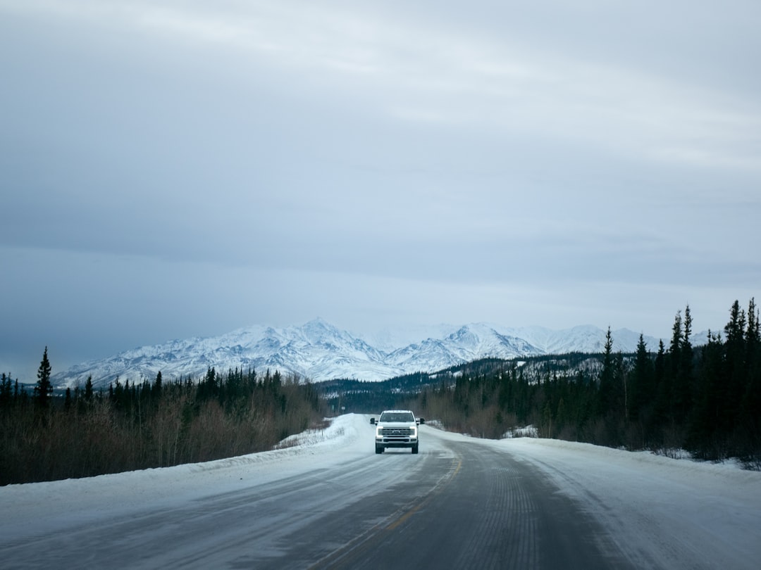
نعم — يتطلب Dempster Highway تصاريح أو رسومًا أو إجراءات حدودية. خطط مسبقًا: يُعد Dempster طريقًا حصويًا بالكامل ويعبر عبارتين مجانيتين للمركبات فوق نهري Peel وMackenzie لا تعملان أثناء تجمد المياه وذوبان الربيع، ما قد يترك المسافرين عالقين لأسابيع. احمل اطارين احتياطيين كاملين، وطقم إصلاح للثقوب، ووقودًا إضافيًا، ومؤن طوارئ؛ إذ يعبر المسار إلى Northwest Territories، وتُعد الخدمات في Inuvik آخر محطة قبل القطب الشمالي.
كم محطة وقود يحتاجها طريق Dempster Highway؟
احسب نحو 1 محطة تعبئة (أو نحو 2 شحنة كهربائية) على طول Dempster Highway نظرًا لطوله البالغ 736 km.
هل قيادة Dempster Highway آمنة؟
يُعد Dempster طريقًا حصويًا بالكامل ويعبر عبارتين مجانيتين للمركبات فوق نهري Peel وMackenzie لا تعملان أثناء تجمد المياه وذوبان الربيع، ما قد يترك المسافرين عالقين لأسابيع. احمل اطارين احتياطيين كاملين، وطقم إصلاح للثقوب، ووقودًا إضافيًا، ومؤن طوارئ؛ إذ يعبر المسار إلى Northwest Territories، وتُعد الخدمات في Inuvik آخر محطة قبل القطب الشمالي.
ما المستوى المنظري لطريق Dempster Highway؟
Dempster Highway طريق أسطورية — أكثر طرق القيادة استثنائية في العالم — رحلات العمر بمناظر سينمائية وطرق أسطورية وعمق ثقافي لا يضاهى.