
ساحل كولومبيا الكاريبي
كولومبيا
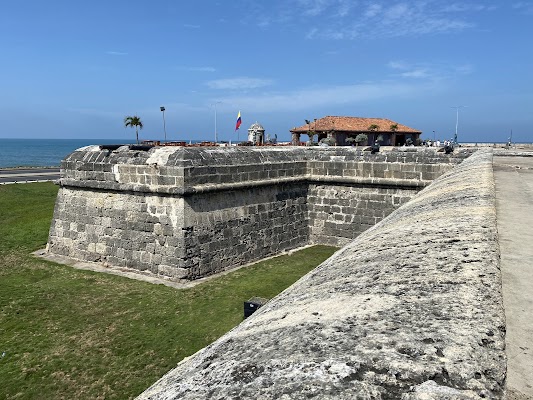
باختصار: ساحل كولومبيا الكاريبي رحلة ثقافي بطول 1,050 km في كولومبيا، تُقطع عادةً خلال 10-14 أيام وأفضل وقت لها ديسمبر-أبريل. أبرز المحطات: Cartagena، Barranquilla، Parque Cultural del Caribe.
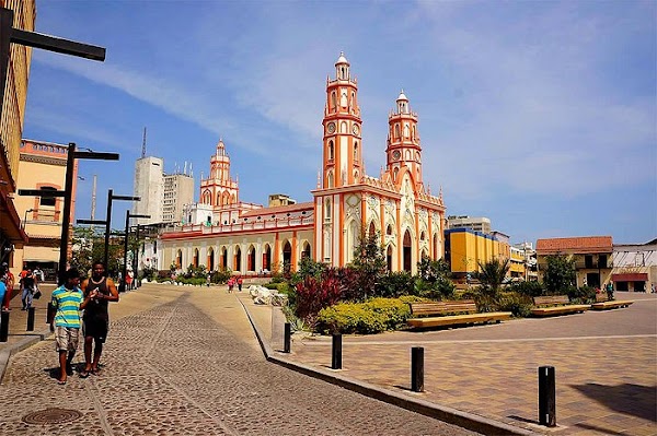
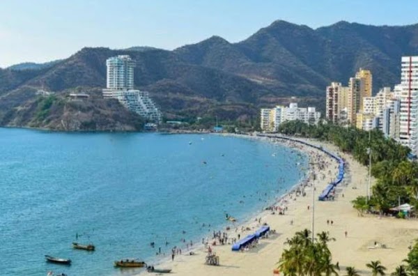
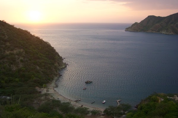
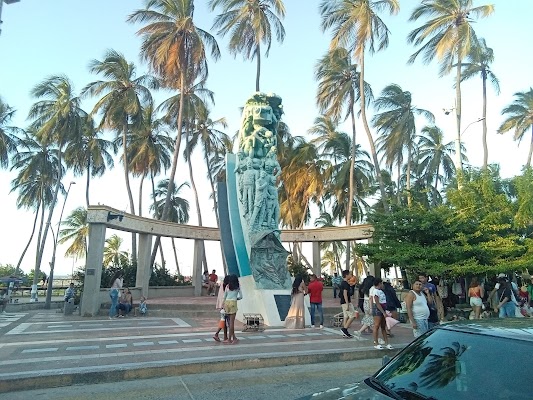
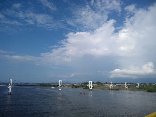
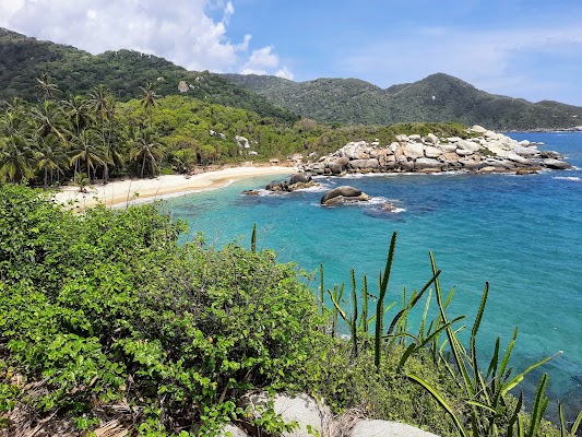
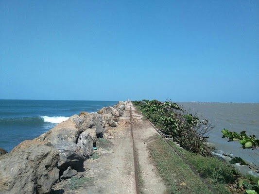
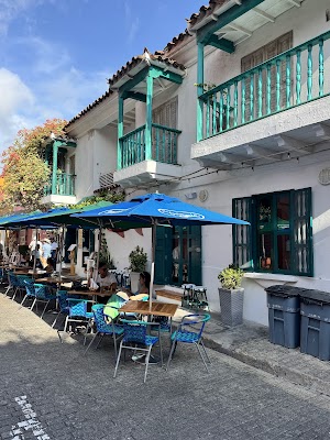
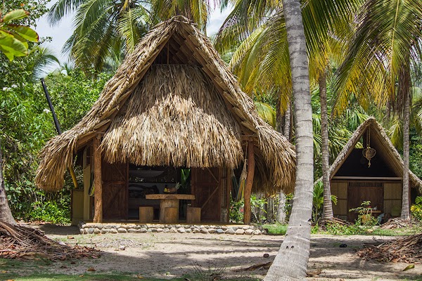
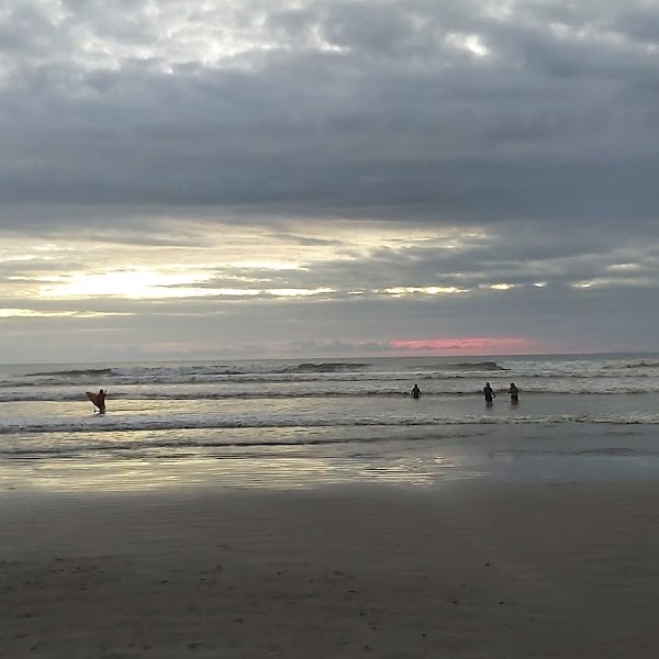
يسير هذا الطريق من الساحل إلى الساحل على امتداد شاطئ كولومبيا الكاريبي من كارتاخينا مرورًا ببَرّانكِيّا وسانتا مارتا إلى بوابة تايرونا ومرتفعات سييرا نيفادا. توقع مدنًا استعمارية، ولاجونات منغروف، ومدنًا شاطئية، وامتدادات طويلة من طريق ساحلي دافئ مع أطعمة وموسيقى محلية نابضة بالحياة.
Plan this trip
Third-party planning links may be affiliate links. RoadAtlas stays independent, and you should verify details with the provider.
محطات على الطريق
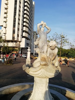
أشياء يمكن القيام بها

أماكن الأكل
طرق ذات صلة
طرق قريبة ومشابهة

الأسئلة الشائعة
كم يبلغ طول طريق ساحل كولومبيا الكاريبي؟
يمتد طريق ساحل كولومبيا الكاريبي لمسافة 1,050 km من البداية إلى النهاية.
كم تستغرق رحلة ساحل كولومبيا الكاريبي؟
يقضي معظم المسافرين 10-14 أيام على طريق ساحل كولومبيا الكاريبي، حسب التوقفات والإيقاع.
ما أفضل موسم لقيادة ساحل كولومبيا الكاريبي؟
الموسم الموصى به لطريق ساحل كولومبيا الكاريبي هو ديسمبر-أبريل.
من أين يبدأ ساحل كولومبيا الكاريبي وأين ينتهي؟
يمتد طريق ساحل كولومبيا الكاريبي من Cartagena إلى Riohacha.
ما أبرز محطات طريق ساحل كولومبيا الكاريبي؟
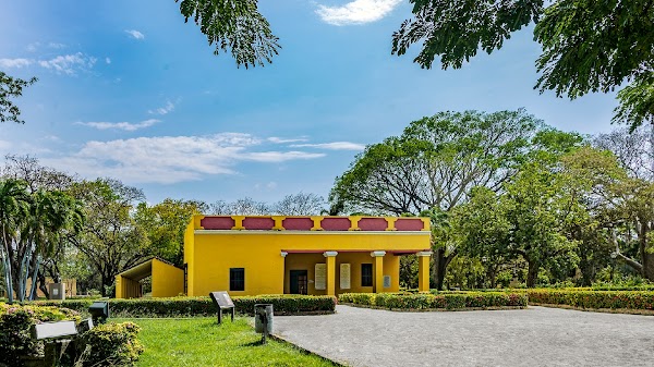
يمر طريق ساحل كولومبيا الكاريبي عبر Cartagena، Barranquilla، Parque Cultural del Caribe.
هل يمكن قيادة ساحل كولومبيا الكاريبي بسيارة عادية؟
نعم — طريق ساحل كولومبيا الكاريبي مُعبَّد بالكامل، والسيارة العادية كافية في الظروف العادية.
كم محطة وقود يحتاجها طريق ساحل كولومبيا الكاريبي؟
احسب نحو 1 محطة تعبئة (أو نحو 3 شحنة كهربائية) على طول ساحل كولومبيا الكاريبي نظرًا لطوله البالغ 1,050 km.
هل قيادة ساحل كولومبيا الكاريبي آمنة؟
تشيع الحرارة والازدحام المروري والتأخيرات العرضية على طرق الأراضي المنخفضة الكاريبية، لذا خطط لأيام قيادة أقصر وتجنب القيادة ليلًا قدر الإمكان. وفي موسم الأمطار قد تغمر بعض الطرق الريفية أو تتباطأ بشكل كبير.
ما المستوى المنظري لطريق ساحل كولومبيا الكاريبي؟
ساحل كولومبيا الكاريبي طريق أيقونية — رحلات أيقونية تُرسّخ سمعة المنطقة — مناظر تشبه البطاقات البريدية، طرق مميزة، ومسارات يحلم بقيادتها معظم المسافرين.