White Rim Road
United States
In short: White Rim Road is a 161 km adventure road trip in United States, typically driven over 4 days / 3 reserved backcountry nights, best in Spring / Fall. Highlights: Island in the Sky Mesa, Shafer Trail, Musselman Arch.
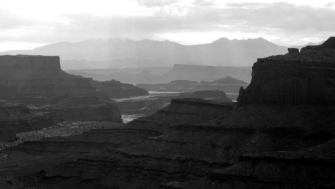
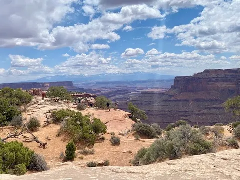
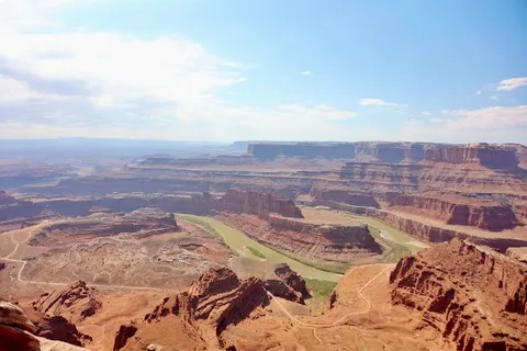
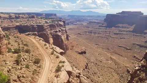
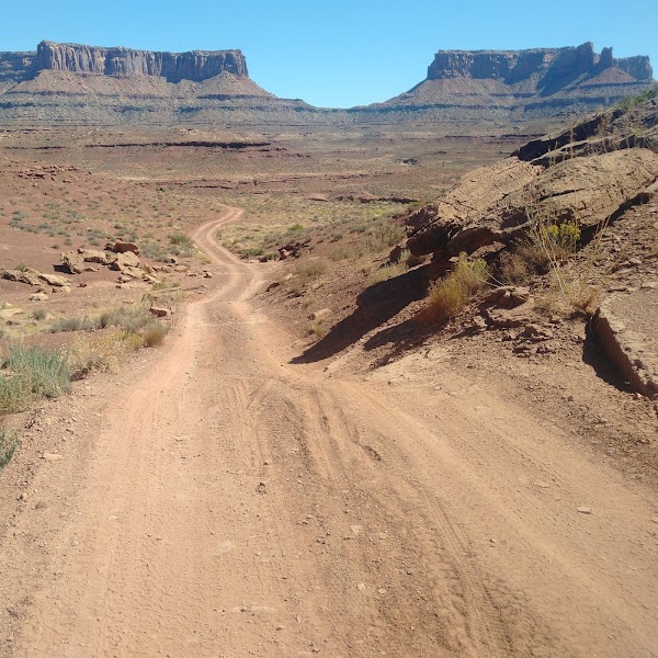
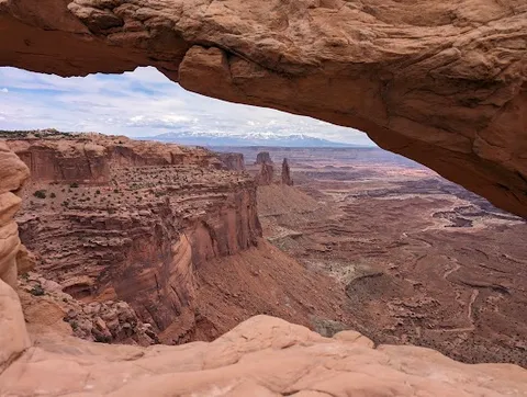
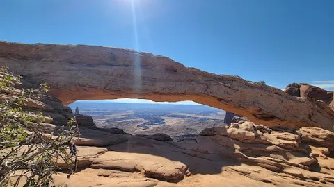
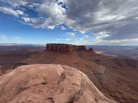
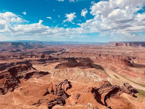
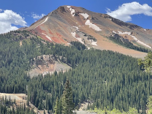
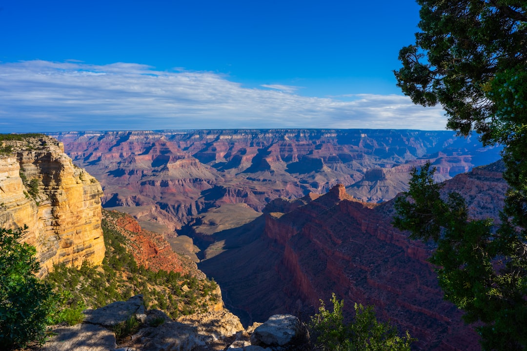
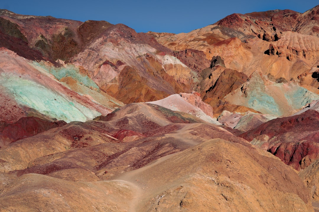
The otherworldly terrain of Canyonlands National Park is intimidating enough from the hard-top, once you leave the tarmac for the White Rim Road, it feels like driving on Mars. A 4WD-only loop around the Island in the Sky mesa, sneaking along sheer cliff walls above two deep river canyons. Built by Cold War uranium miners; no potable water anywhere on the route.
Make this route yours
Set your dates, pace, and taste, and RoadAtlas AI rebuilds this trip day by day with real, verified places.
Included with Traveler and Explorer plans.
Plan this trip
Third-party planning links may be affiliate links. RoadAtlas stays independent, and you should verify details with the provider.
Day-by-day itinerary
Day 1Moab preparation, Shafer Trail, and reserved Airport-area camp
Shafer Trail descent · Colorado River and Gooseneck overlooks · Self-contained Day 1 meals
Day 2Airport area to reserved Murphy or White Crack-area camp
Candlestick Tower · Murphy Hogback · Packed Camp Dinner
Day 3Murphy or White Crack area to reserved Hardscrabble or Labyrinth camp
White Crack viewpoint spur · Hardscrabble Hill · Self-contained Day 3 meals
Day 4Mineral Bottom exit and Moab
Mineral Bottom switchbacks · Vehicle and waste check in Moab · Love Muffin Cafe
Stops along the route
Things to Do
Show 2 more
Where to Eat


Nearby and similar drives
Frequently asked questions
How long is the White Rim Road drive?
The White Rim Road covers 161 km from start to finish.
How long does the White Rim Road take to drive?
Most travellers spend 4 days / 3 reserved backcountry nights on the White Rim Road, depending on stops and pace.
When is the best time to drive the White Rim Road?
The recommended season for the White Rim Road is Spring / Fall.
Where does the White Rim Road start and end?
The White Rim Road runs from Island in the Sky Mesa to Mineral Bottom.
What are the main stops on the White Rim Road?
The White Rim Road passes through Island in the Sky Mesa, Shafer Trail, Musselman Arch.
How difficult is the White Rim Road to drive?
The White Rim Road is rated hard and is best handled with 4wd only.
Do I need a 4WD for the White Rim Road?
Yes — the White Rim Road includes off-road or rough sections that require 4wd only.
Do I need a permit or border paperwork for the White Rim Road?
Yes — the White Rim Road requires permits, fees, or border paperwork. Plan ahead: Reserve the NPS backcountry permit and each exact campsite before travel; this plan assumes Airport, Murphy or White Crack, and Hardscrabble or Labyrinth-area nights and must be changed to match the actual permit. Carry all food, drinking water, fuel, human-waste equipment, shelter, navigation, and repair gear in a low-range 4WD. Check floods, road conditions, group and vehicle limits; there are no services or reliable cell coverage.
Is the White Rim Road safe to drive?
Reserve the NPS backcountry permit and each exact campsite before travel; this plan assumes Airport, Murphy or White Crack, and Hardscrabble or Labyrinth-area nights and must be changed to match the actual permit. Carry all food, drinking water, fuel, human-waste equipment, shelter, navigation, and repair gear in a low-range 4WD. Check floods, road conditions, group and vehicle limits; there are no services or reliable cell coverage.
What scenic tier is the White Rim Road?
The White Rim Road is a iconic drive — Iconic road trips that anchor a region's reputation — postcard scenery, headline highways, and the routes most travellers want to drive.