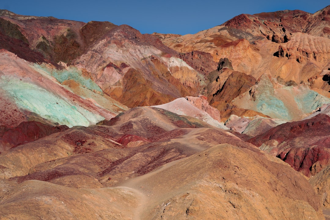
Las Vegas to Stovepipe Wells via Death Valley
United States
In short: Las Vegas to Stovepipe Wells via Death Valley is a 480 km desert road trip in United States, typically driven over 3 days, best in Oct–Apr. Highlights: Las Vegas, Zabriskie Point, Dante's View.
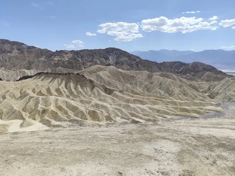
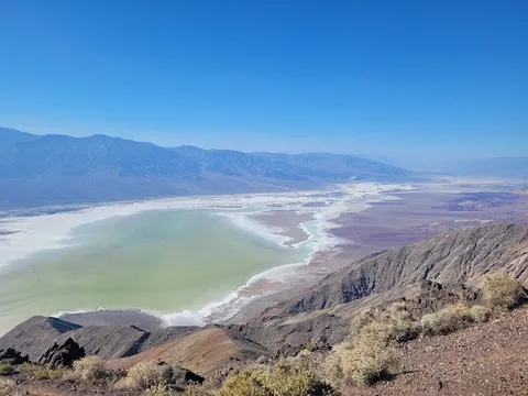
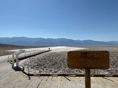
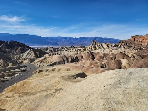
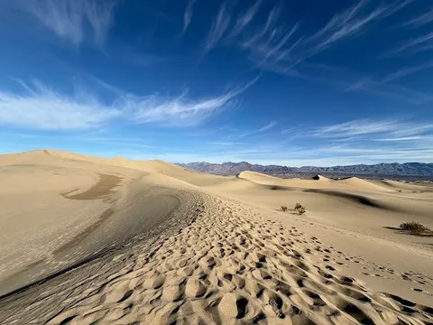
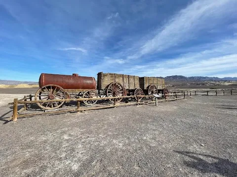
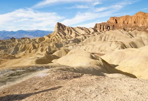
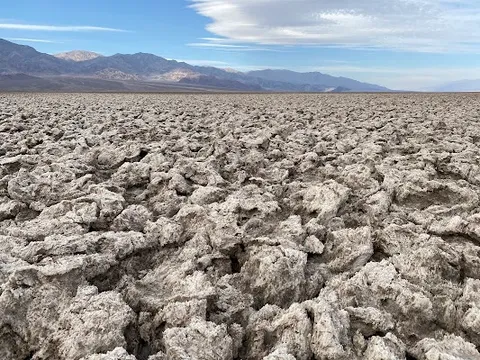
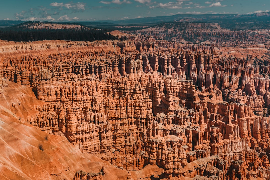
The lowest, hottest, driest national park on Earth, and one of its most spectacular. Golden badlands, salt flats at 86m below sea level, rainbow-painted hills, and dunes that hum when the sand shifts in the wind.
Make this route yours
Set your dates, pace, and taste, and RoadAtlas AI rebuilds this trip day by day with real, verified places.
Included with Traveler and Explorer plans.
Plan this trip
Third-party planning links may be affiliate links. RoadAtlas stays independent, and you should verify details with the provider.
Day-by-day itinerary
Day 1Las Vegas to Furnace Creek / central Death Valley
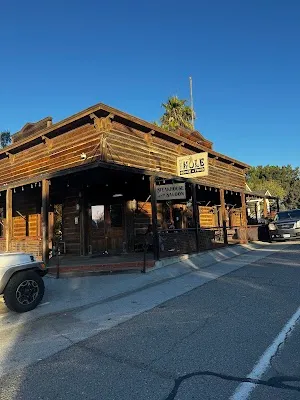
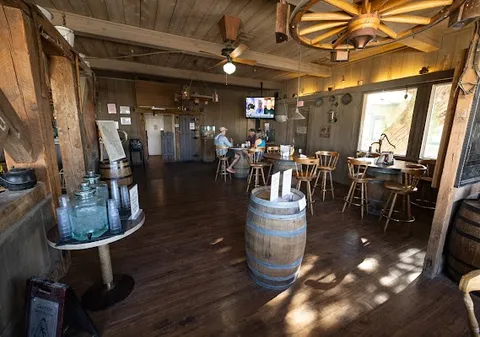
Zabriskie Point · Dante's View · The 19th Hole
Day 2Furnace Creek to Stovepipe Wells and Mesquite Flat Dunes
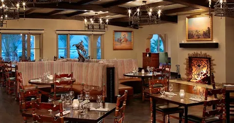
Mesquite Flat Sand Dunes · Mosaic Canyon · Stovepipe Wells Village Restaurant
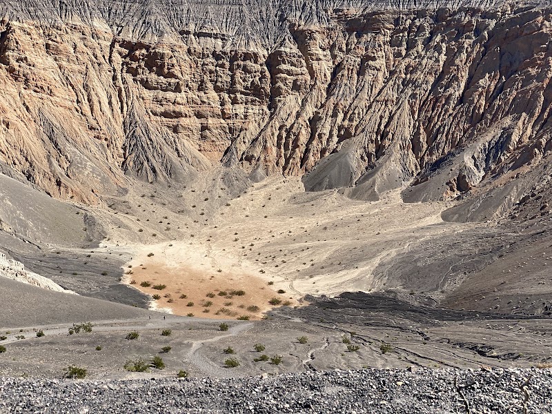
Day 3Northern Death Valley / Ubehebe Crater
Ubehebe Crater · Stovepipe Wells Village Restaurant
Stops along the route

Things to Do
Show 4 more
Where to Eat

Nearby and similar drives

Frequently asked questions
How long is the Las Vegas to Stovepipe Wells via Death Valley drive?
The Las Vegas to Stovepipe Wells via Death Valley covers 480 km from start to finish.
How long does the Las Vegas to Stovepipe Wells via Death Valley take to drive?
Most travellers spend 3 days on the Las Vegas to Stovepipe Wells via Death Valley, depending on stops and pace.
When is the best time to drive the Las Vegas to Stovepipe Wells via Death Valley?
The recommended season for the Las Vegas to Stovepipe Wells via Death Valley is Oct–Apr.
Where does the Las Vegas to Stovepipe Wells via Death Valley start and end?
The Las Vegas to Stovepipe Wells via Death Valley runs from Las Vegas to Stovepipe Wells.
What are the main stops on the Las Vegas to Stovepipe Wells via Death Valley?
The Las Vegas to Stovepipe Wells via Death Valley passes through Las Vegas, Zabriskie Point, Dante's View.
How difficult is the Las Vegas to Stovepipe Wells via Death Valley to drive?
The Las Vegas to Stovepipe Wells via Death Valley is rated moderate and is best handled with any vehicle.
Can I drive the Las Vegas to Stovepipe Wells via Death Valley in a regular car?
Yes — the Las Vegas to Stovepipe Wells via Death Valley is paved end-to-end and a regular car is fine in normal conditions.
How many fuel stops are needed on the Las Vegas to Stovepipe Wells via Death Valley?
Plan around 0 refuels (or about 1 EV charges) along the Las Vegas to Stovepipe Wells via Death Valley, based on its 480 km length.
Is the Las Vegas to Stovepipe Wells via Death Valley safe to drive?
This is an open Las Vegas-to-Stovepipe Wells route, not a circuit. Summer temperatures routinely exceed 48°C and can disable vehicles. Carry extra water and food, check the live NPS conditions map immediately before departure, and recheck both paved-road damage and backcountry closures; several remote sites have no drinking water or mobile service.
What scenic tier is the Las Vegas to Stovepipe Wells via Death Valley?
The Las Vegas to Stovepipe Wells via Death Valley is a iconic drive — Iconic road trips that anchor a region's reputation — postcard scenery, headline highways, and the routes most travellers want to drive.