Yosemite to Sequoia and Kings Canyon
United States
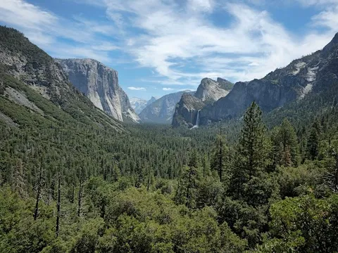
In short: Yosemite to Sequoia and Kings Canyon is a 418 km plus Kings Canyon out-and-back mountain road trip in United States, typically driven over 6 days, best in May–Oct. Highlights: Yosemite Valley, Tunnel View, Mariposa Grove.
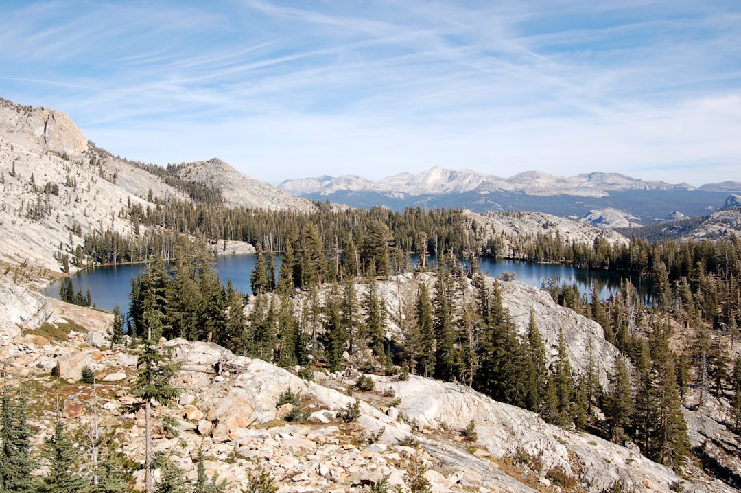
A six-day parks traverse from Yosemite Valley through Wawona and Mariposa Grove to Grant Grove and the Kings Canyon Scenic Byway, then south once to Giant Forest, Moro Rock, and General Sherman.
Make this route yours
Set your dates, pace, and taste, and RoadAtlas AI rebuilds this trip day by day with real, verified places.
Included with Traveler and Explorer plans.
Plan this trip
Third-party planning links may be affiliate links. RoadAtlas stays independent, and you should verify details with the provider.
Day-by-day itinerary
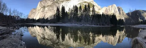
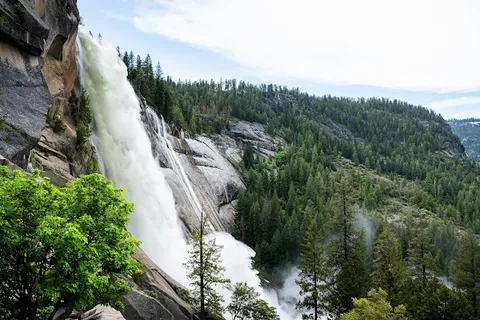
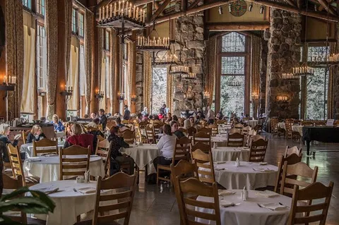
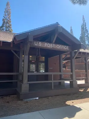
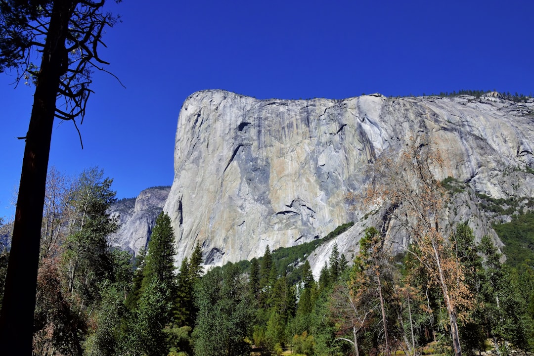
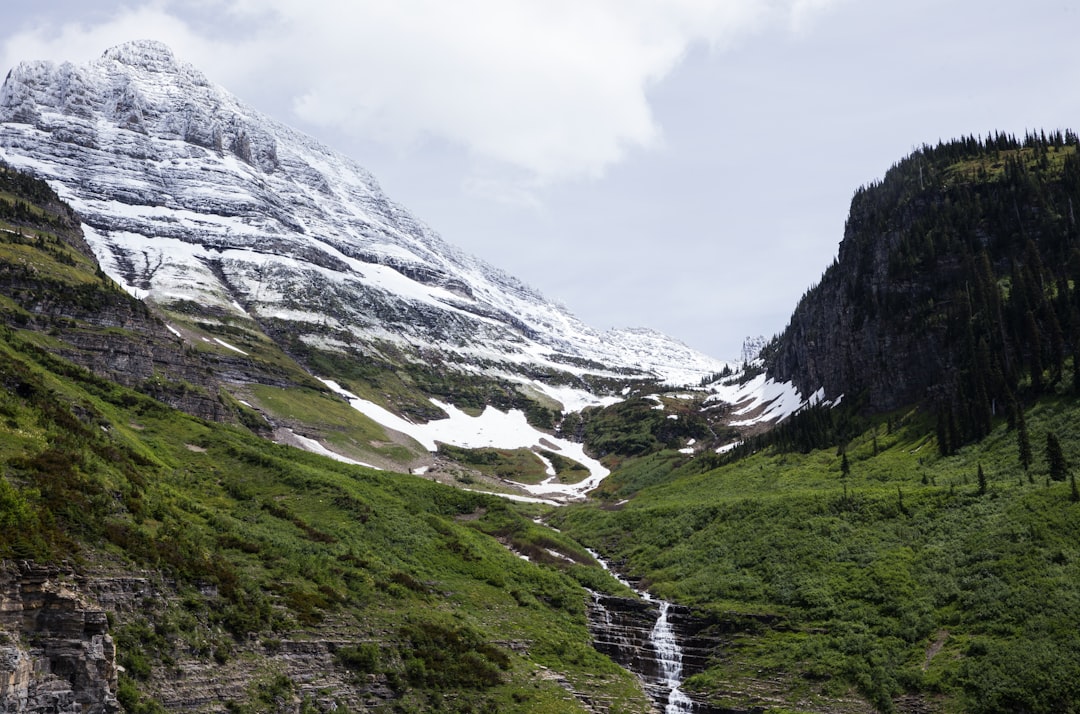
Day 1Yosemite Valley / Yosemite National Park
Mist Trail · Yosemite Valley Visitor Center · The Ahwahnee Dining Room
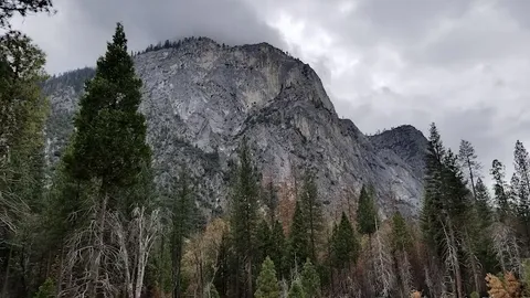
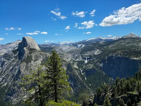
Day 2Glacier Point and Wawona
Glacier Point · Wawona historic district · Wawona Hotel Dining Room
Day 3Mariposa Grove walk and transfer toward Grant Grove
Mariposa Grove Grizzly Giant Loop · Yosemite to Grant Grove transfer · Wawona Hotel Dining Room
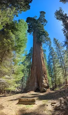
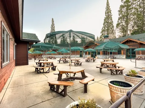
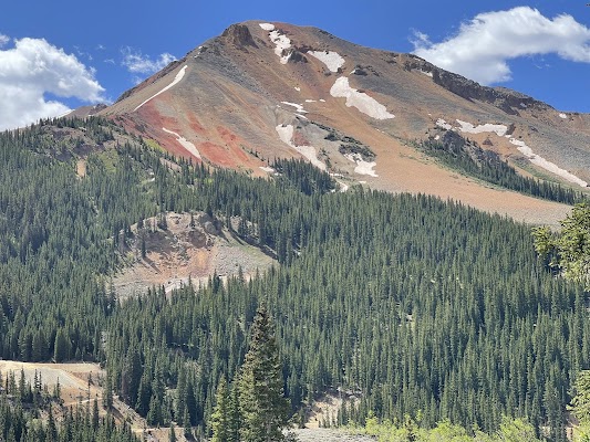
Day 4Grant Grove and Kings Canyon Scenic Byway
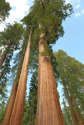
General Grant Tree Trail · Big Stump Basin Trail · Grant Grove Restaurant
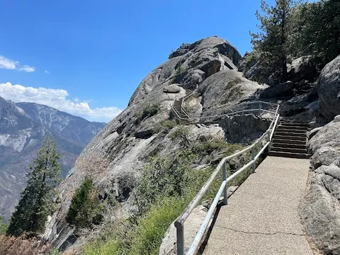
Day 5Grant Grove to Giant Forest and Moro Rock
Moro Rock · Giant Forest Museum and Big Trees Trail · Wuksachi Lodge Restaurant
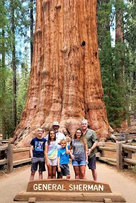
Day 6General Sherman Tree and Sequoia exit
General Sherman Tree Trail · Hospital Rock or Foothills Visitor Center · Lodgepole or Wuksachi seasonal breakfast
Stops along the route
Things to Do
Show 3 more

Where to Eat

Nearby and similar drives
Frequently asked questions
How long is the Yosemite to Sequoia and Kings Canyon drive?
The Yosemite to Sequoia and Kings Canyon covers 418 km plus Kings Canyon out-and-back from start to finish.
How long does the Yosemite to Sequoia and Kings Canyon take to drive?
Most travellers spend 6 days on the Yosemite to Sequoia and Kings Canyon, depending on stops and pace.
When is the best time to drive the Yosemite to Sequoia and Kings Canyon?
The recommended season for the Yosemite to Sequoia and Kings Canyon is May–Oct.
Where does the Yosemite to Sequoia and Kings Canyon start and end?
The Yosemite to Sequoia and Kings Canyon runs from Yosemite Valley to General Sherman Tree.
What are the main stops on the Yosemite to Sequoia and Kings Canyon?
The Yosemite to Sequoia and Kings Canyon passes through Yosemite Valley, Tunnel View, Mariposa Grove.
How difficult is the Yosemite to Sequoia and Kings Canyon to drive?
The Yosemite to Sequoia and Kings Canyon is rated moderate and is best handled with any vehicle.
Can I drive the Yosemite to Sequoia and Kings Canyon in a regular car?
Yes — the Yosemite to Sequoia and Kings Canyon is paved end-to-end and a regular car is fine in normal conditions.
How many fuel stops are needed on the Yosemite to Sequoia and Kings Canyon?
Plan around 0 refuels (or about 1 EV charges) along the Yosemite to Sequoia and Kings Canyon, based on its 418 km plus Kings Canyon out-and-back length.
Is the Yosemite to Sequoia and Kings Canyon EV friendly?
Yes — the Yosemite to Sequoia and Kings Canyon has charger coverage along the route and works as an EV road trip.
Is the Yosemite to Sequoia and Kings Canyon safe to drive?
Use current NPS conditions for Yosemite and Sequoia/Kings Canyon. Mist Trail work can impose 2026 weekday closures, Mariposa Grove is shuttle-only for most vehicles when the shuttle runs, mountain roads have vehicle-length limits, and Sequoia/Kings Canyon has no fuel or EV charging. Carry food, fuel before entry, and verify every seasonal concession.
What scenic tier is the Yosemite to Sequoia and Kings Canyon?
The Yosemite to Sequoia and Kings Canyon is a iconic drive — Iconic road trips that anchor a region's reputation — postcard scenery, headline highways, and the routes most travellers want to drive.