Pamir Highway
Tajikistan
In short: Pamir Highway is a 1,252 km mountain road trip in Tajikistan, typically driven over 8–10 days, best in Jun–Sep. Highlights: Dushanbe, Qalai Khumb, Khorog.
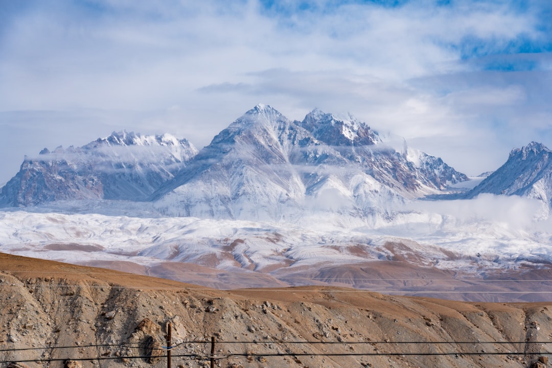
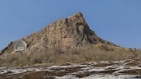
The classic west-to-east Pamir Highway links Dushanbe and Osh through Qalai Khumb, Khorog, the Tajik Wakhan, Murghab, Ak-Baital and Karakul. This eight-day minimum preserves the normal western overnights and a high-plateau buffer.
Make this route yours
Set your dates, pace, and taste, and RoadAtlas AI rebuilds this trip day by day with real, verified places.
Included with Traveler and Explorer plans.
Plan this trip
Third-party planning links may be affiliate links. RoadAtlas stays independent, and you should verify details with the provider.
Day-by-day itinerary
Day 1Dushanbe to Qalai Khumb via Nurek
Nurek Reservoir viewpoint · Complete the Qalai Khumb stage · Rudaki Restaurant at Dushanbe Serena
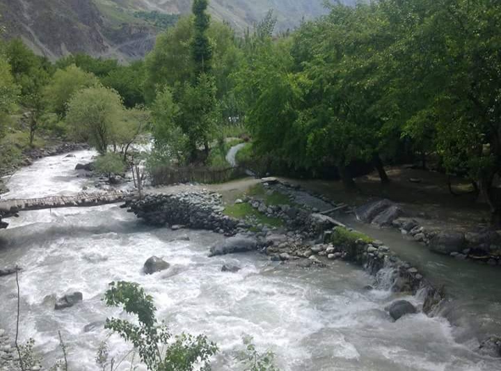
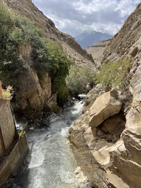
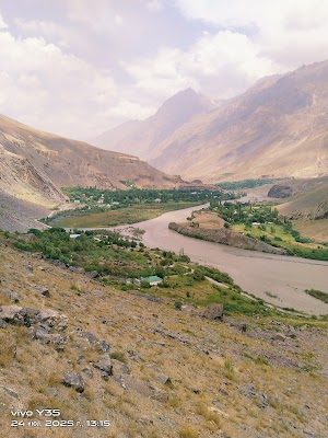
Day 2Qalai Khumb to Khorog
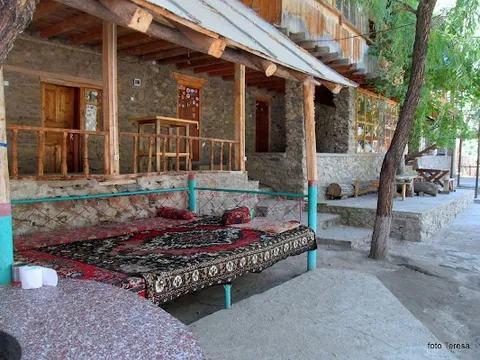
Panj River road · Khorog City Park · Pamir Lodge dining room
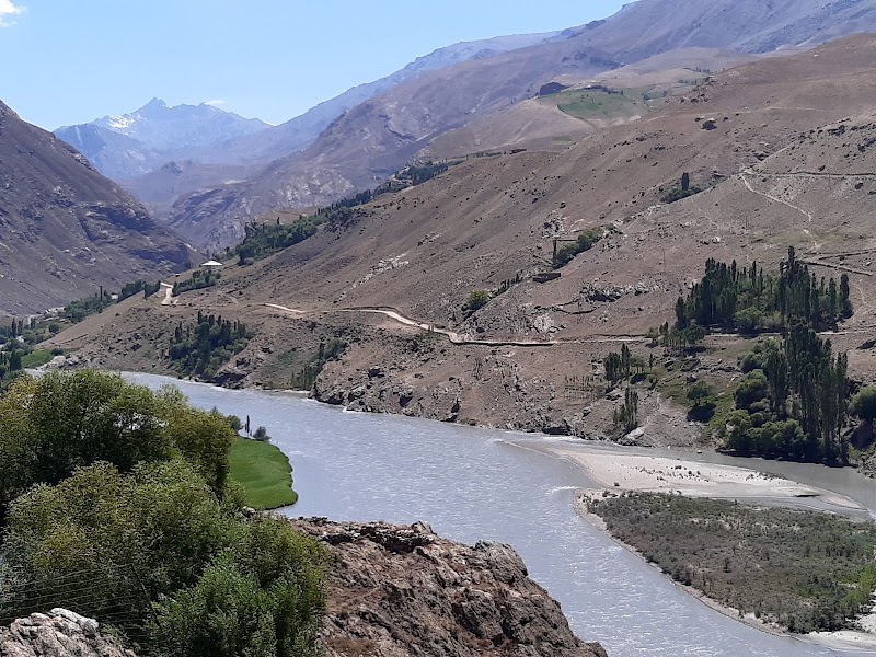
Day 3Khorog to Ishkashim and the Wakhan entrance
Ishkashim Bazaar provisions · Wakhan security briefing · Prearranged Ishkashim guesthouse dinner
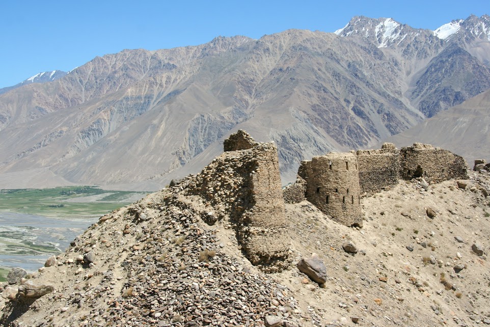
Day 4Ishkashim to Yamchun, Bibi Fatima, Vrang and Langar
Yamchun Fortress · Bibi Fatima Hot Springs · Prearranged Langar guesthouse dinner
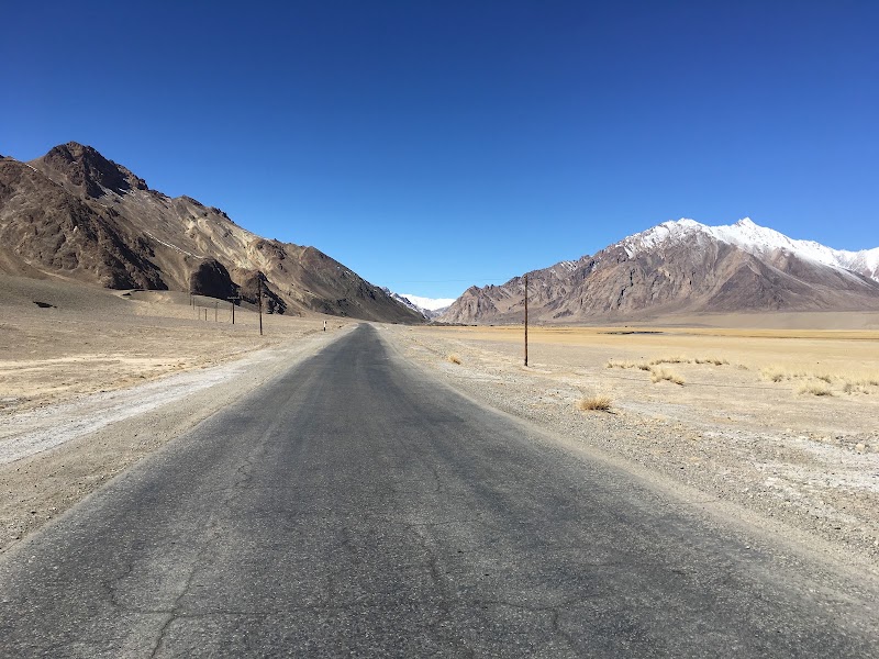
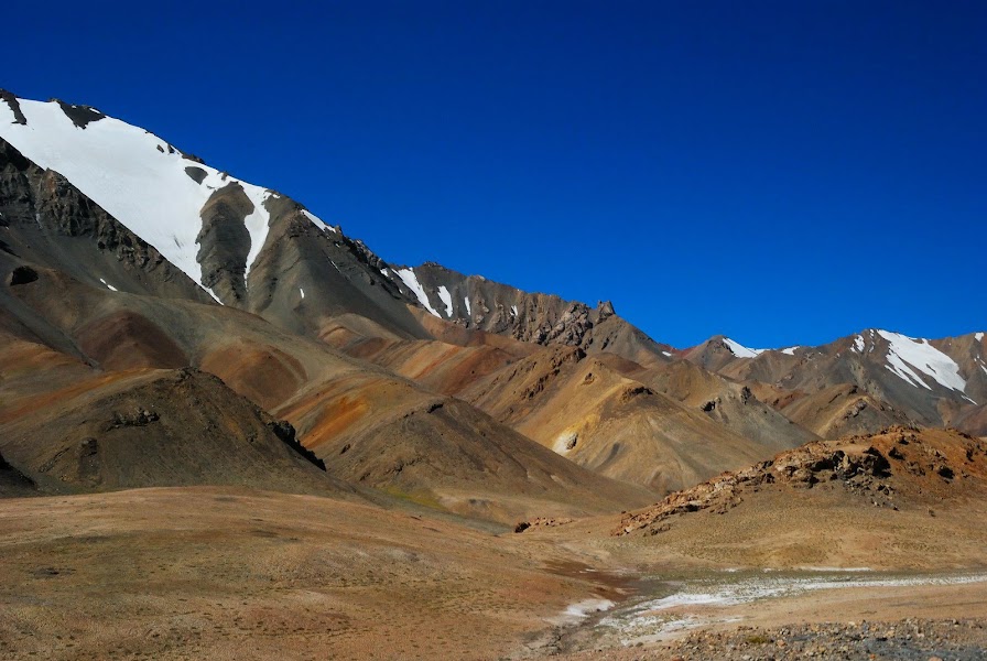
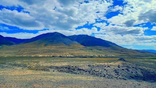
Day 5Langar to Murghab via Khargush and Alichur
Khargush Pass crossing · Alichur plateau stop · Prearranged Murghab guesthouse dinner
Day 6Murghab acclimatization and road buffer
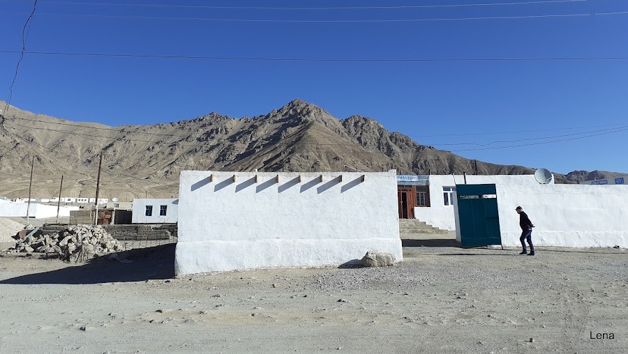
Murghab Bazaar · Altitude and vehicle buffer · Booked Murghab guesthouse meals
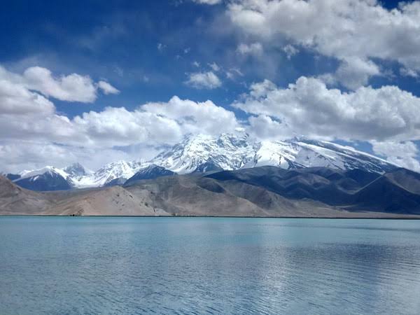
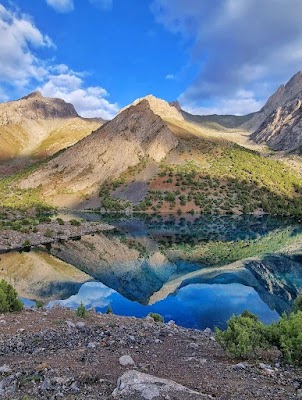
Day 7Murghab to Ak-Baital Pass and Karakul
Ak-Baital Pass · Karakul lakeshore · Prearranged Karakul guesthouse dinner
Day 8Karakul to Osh via the conditional Kyzyl-Art / Bor-Dobo crossing
Kyzyl-Art / Bor-Dobo go-or-no-go · Sulaiman-Too after rest · NAVAT Osh
Stops along the route


Things to Do


Show 1 more
Where to Eat


Nearby and similar drives
Frequently asked questions
How long is the Pamir Highway drive?
The Pamir Highway covers 1,252 km from start to finish.
How long does the Pamir Highway take to drive?
Most travellers spend 8–10 days on the Pamir Highway, depending on stops and pace.
When is the best time to drive the Pamir Highway?
The recommended season for the Pamir Highway is Jun–Sep.
Where does the Pamir Highway start and end?
The Pamir Highway runs from Dushanbe to Osh.
What are the main stops on the Pamir Highway?
The Pamir Highway passes through Dushanbe, Qalai Khumb, Khorog.
How difficult is the Pamir Highway to drive?
The Pamir Highway is rated hard and is best handled with 4wd only.
Do I need a 4WD for the Pamir Highway?
Yes — the Pamir Highway includes off-road or rough sections that require 4wd only.
Do I need a permit or border paperwork for the Pamir Highway?
Yes — the Pamir Highway requires permits, fees, or border paperwork. Plan ahead: The route crosses the Tajikistan–Kyrgyzstan border at Kyzyl-Art (TJ)/Bor-Dobo (KG). As checked 13 July 2026, official sources conflict: the crossing is operating in practice under conditions, while some advice still describes it as officially closed. Confirm same-week opening, hours, third-country eligibility, vehicle papers and any transfer requirement with both border authorities and a Pamir operator; carry a fallback plan. A GBAO permit is required. Current advice warns that GBAO roads can close at short notice and that the Afghan frontier has checkpoint, unrest, attack and mine risks. Do not leave the road, drive after dark or travel without spare fuel, water, cash, recovery gear, altitude planning and a weather buffer.
How many fuel stops are needed on the Pamir Highway?
Plan around 2 refuels (or about 4 EV charges) along the Pamir Highway, based on its 1,252 km length.
Is the Pamir Highway safe to drive?
The route crosses the Tajikistan–Kyrgyzstan border at Kyzyl-Art (TJ)/Bor-Dobo (KG). As checked 13 July 2026, official sources conflict: the crossing is operating in practice under conditions, while some advice still describes it as officially closed. Confirm same-week opening, hours, third-country eligibility, vehicle papers and any transfer requirement with both border authorities and a Pamir operator; carry a fallback plan. A GBAO permit is required. Current advice warns that GBAO roads can close at short notice and that the Afghan frontier has checkpoint, unrest, attack and mine risks. Do not leave the road, drive after dark or travel without spare fuel, water, cash, recovery gear, altitude planning and a weather buffer.
What scenic tier is the Pamir Highway?
The Pamir Highway is a legendary drive — The world's most extraordinary drives — once-in-a-lifetime road trips with cinematic scenery, legendary roads, and unmatched cultural depth.